| Suspect Data Shortages in Critical Types - Monitor | ||||||||||||||
|---|---|---|---|---|---|---|---|---|---|---|---|---|---|---|
| Type | Description | Hourly Count | Monthly Average | Percent (%) of Monthly Mean | UTC Time Window | |||||||||
NOAA 18-19 & METOP 1-2 HIRS-4 NCEP-proc. br.temps |
0 |
10108 |
0.0 % |
3020.00-0101.99 |
||||||||||
| Shortage in Data Type of Opportunity - Monitor | ||||||||||||||
|---|---|---|---|---|---|---|---|---|---|---|---|---|---|---|
| Type | Description | Hourly Count | Monthly Average | Percent (%) of Monthly Mean | UTC Time Window | |||||||||
NPP Adv. Tech. MW Sndr (ATMS) br. temps from RARS |
0 |
3451 |
0.0 % |
3021.00-0100.99 |
||||||||||
NOAA 15-19 & METOP 1-2 HIRS-3/4 pr btmps frm RARS |
0 |
7014 |
0.0 % |
3022.00-0100.00 |
||||||||||
METOP 1-2 IASI 1C radiance data vbl chn from RARS |
0 |
10686 |
0.0 % |
3021.00-0100.99 |
||||||||||
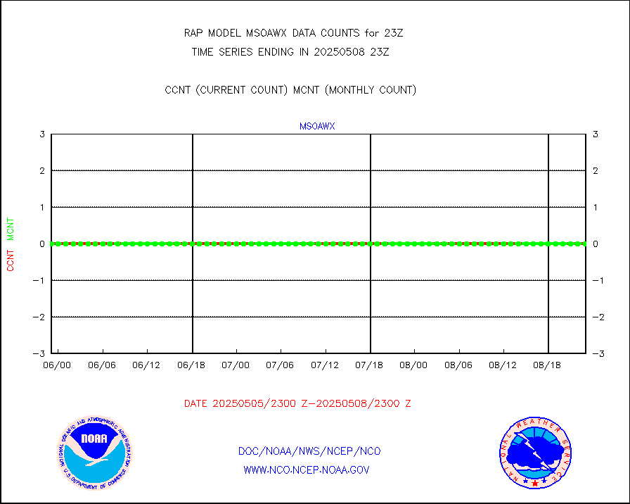
Mesonet/MADIS AWS Convergence Technologies, Inc. |
4508 |
20600 |
21.9 % |
3022.50-3023.50 |
||||||||||
DMSP SSM/IS 1C radiance data (Unified Pre-Proc.) |
0 |
43875 |
0.0 % |
3021.00-0100.99 |
||||||||||
| Critical Data with Normal Counts | ||||||||||||||
|---|---|---|---|---|---|---|---|---|---|---|---|---|---|---|
| Type | Description | Hourly Count | Monthly Average | Percent (%) of Monthly Mean | UTC Time Window | |||||||||
NOAA 15-19 & METOP 1-2 AMSU-A NCEP-proc. br.temps |
21289 |
27315 |
77.9 % |
3020.00-0101.99 |
||||||||||
NOAA 18-19 & METOP 1-2 MHS NCEP-proces. br. temps |
188903 |
204297 |
92.5 % |
3020.00-0101.99 |
||||||||||
MDCRS ACARS acft data from ARINC(dcded from BUFR) |
110714 |
98359 |
112.6 % |
3019.75-0102.25 |
||||||||||
Canadian AMDAR aircraft data (decoded from BUFR) |
0 |
0 |
n/a |
3019.75-0102.25 |
||||||||||
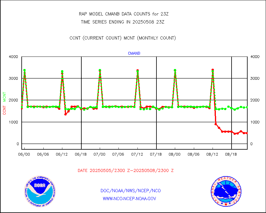
Surface Marine CMAN rpts decoded from BUFR format |
1661 |
1676 |
99.1 % |
3022.50-3023.50 |
||||||||||
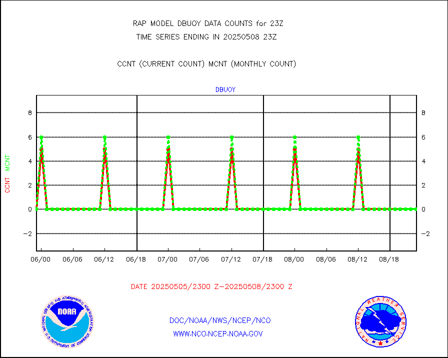
Buoys decoded from FM-18 fmt (moored or drifting) |
0 |
0 |
n/a |
3022.50-3023.50 |
||||||||||
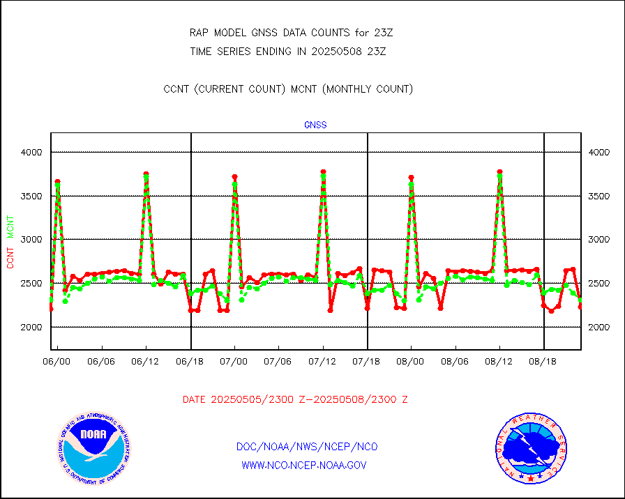
Grnd-based Gbl Navigation Sat System (GNSS) data |
754 |
2003 |
37.6 % |
3021.95-3022.05 |
||||||||||
MODIS (AQUA/TERRA) wvpr imager derived cld motion |
0 |
0 |
n/a |
3020.50-0101.50 |
||||||||||
MODIS (AQUA/TERRA) ir l-wave derived cloud motion |
0 |
0 |
n/a |
3020.50-0101.50 |
||||||||||
GOES/NASA(Langley) hi-res. (1x1 f-o-v) cloud data |
1868588 |
1867266 |
100.1 % |
3022.50-3023.50 |
||||||||||
Buoys decoded from FM-13 format (moored) |
168 |
139 |
120.9 % |
3022.50-3023.50 |
||||||||||
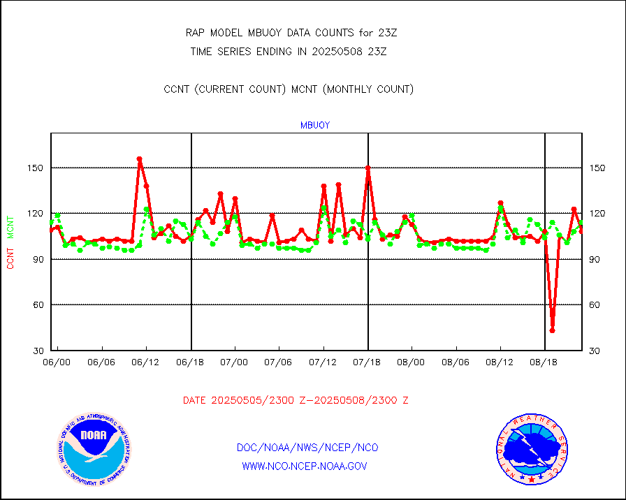
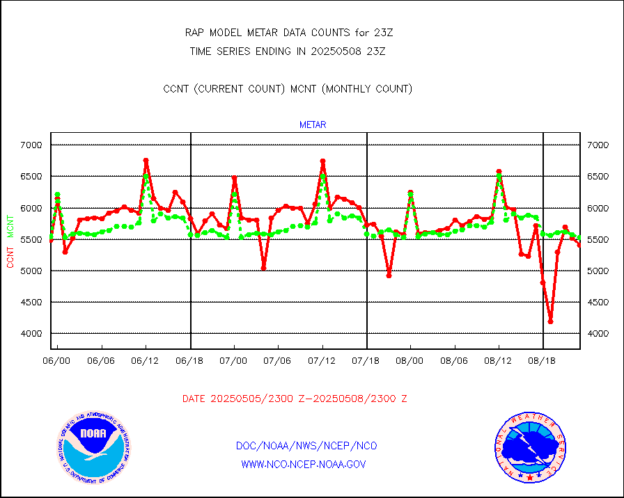
Aviation - METAR |
5595 |
5558 |
100.7 % |
3022.50-3023.50 |
||||||||||
NEXRAD Vel Azm Dsp(VAD) winds via radar coded msg |
0 |
0 |
n/a |
3022.00-0100.00 |
||||||||||
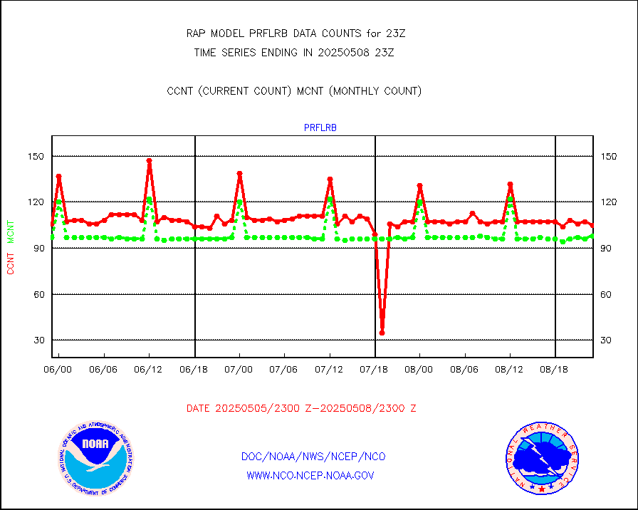
Multi-Agency Profiler (MAP) and SODAR winds |
98 |
95 |
103.2 % |
3021.50-0100.50 |
||||||||||
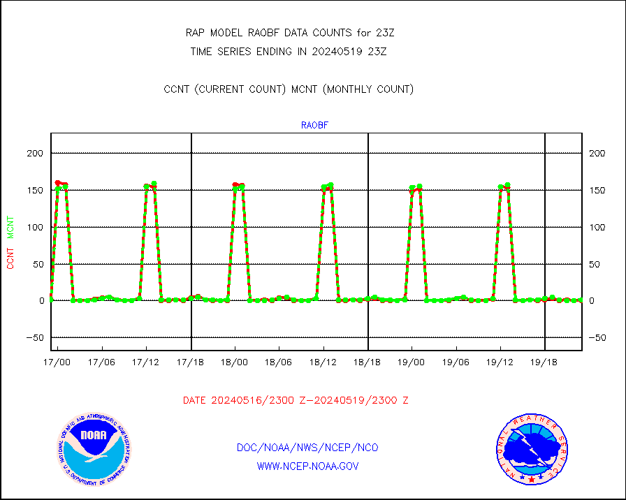
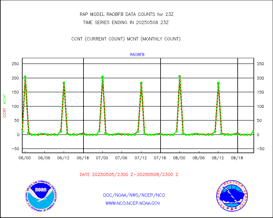
Rawinsonde - fixed land (from TEMP or PILOT) |
5 |
2 |
250.0 % |
3022.00-0100.00 |
||||||||||
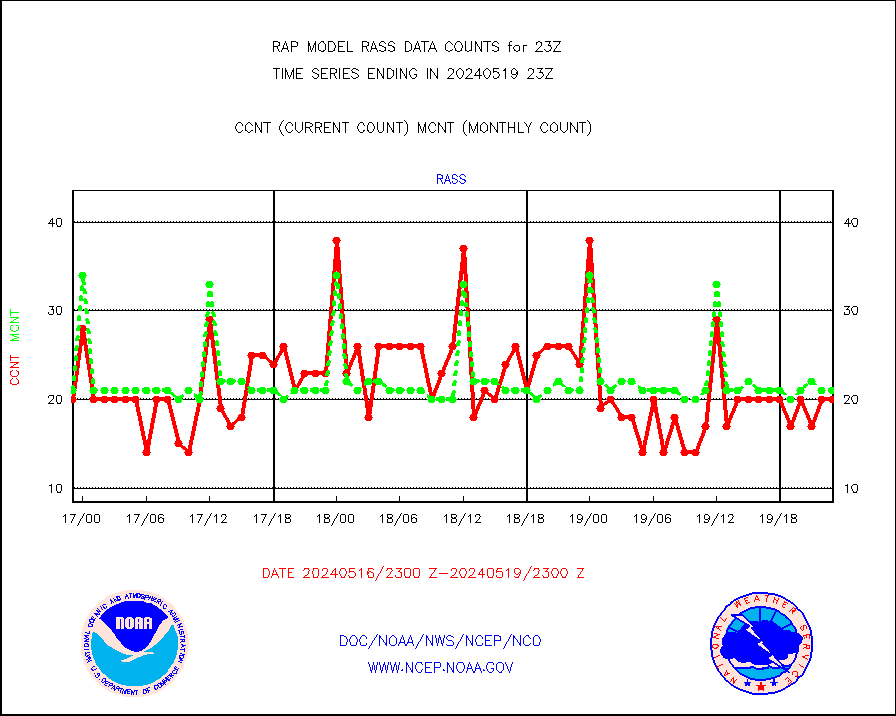
RASS temperatures (NOAA and Multi-Agency) |
18 |
20 |
90.0 % |
3022.50-3023.50 |
||||||||||
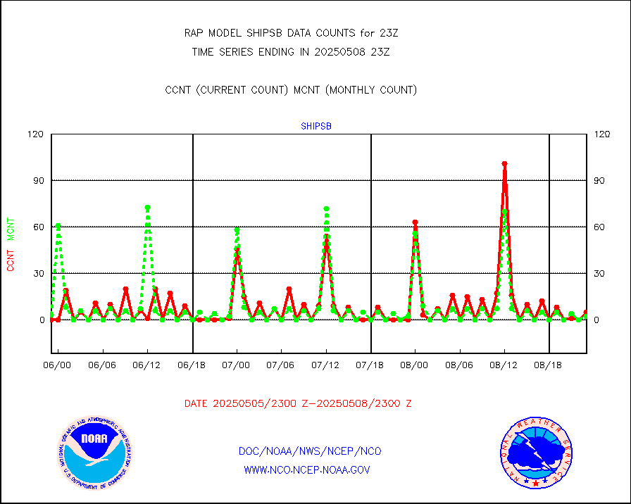
Ship - manual and automatic, restricted (BUFR) |
0 |
0 |
n/a |
3022.50-3023.50 |
||||||||||
Ship - manual and automatic, unrestricted |
44 |
56 |
78.6 % |
3022.50-3023.50 |
||||||||||
Ship - manual and automatic, unrestricted (BUFR) |
635 |
696 |
91.2 % |
3022.50-3023.50 |
||||||||||
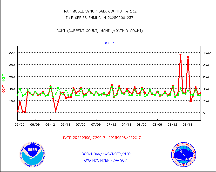
Synoptic - fixed manual and automatic |
333 |
292 |
114.0 % |
3022.50-3023.50 |
||||||||||
Synoptic - fixed manual & auto (decoded fr BUFR) |
1935 |
1952 |
99.1 % |
3022.50-3023.50 |
||||||||||
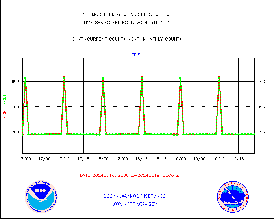
Tide gauge reports decoded from CREX format |
186 |
185 |
100.5 % |
3022.50-3023.50 |
||||||||||
| Data Types of Opportunity with Normal Counts | ||||||||||||||
|---|---|---|---|---|---|---|---|---|---|---|---|---|---|---|
| Type | Description | Hourly Count | Monthly Average | Percent (%) of Monthly Mean | UTC Time Window | |||||||||
GOES-16&up/NESDIS ir short-wv derived cld motion |
1620 |
1582 |
102.4 % |
3022.00-3022.99 |
||||||||||
MDCRS ACARS acft data (ARINC via AFWA)(AIREP fmt) |
0 |
0 |
n/a |
3019.75-0102.25 |
||||||||||
Manual AIREP aircraft data (dcded from AIREP fmt) |
1064 |
978 |
108.8 % |
3019.75-0102.25 |
||||||||||
AQUA AIRS/AMSU-A/HSB brightness temps- every FOV |
0 |
0 |
n/a |
3020.00-0101.99 |
||||||||||
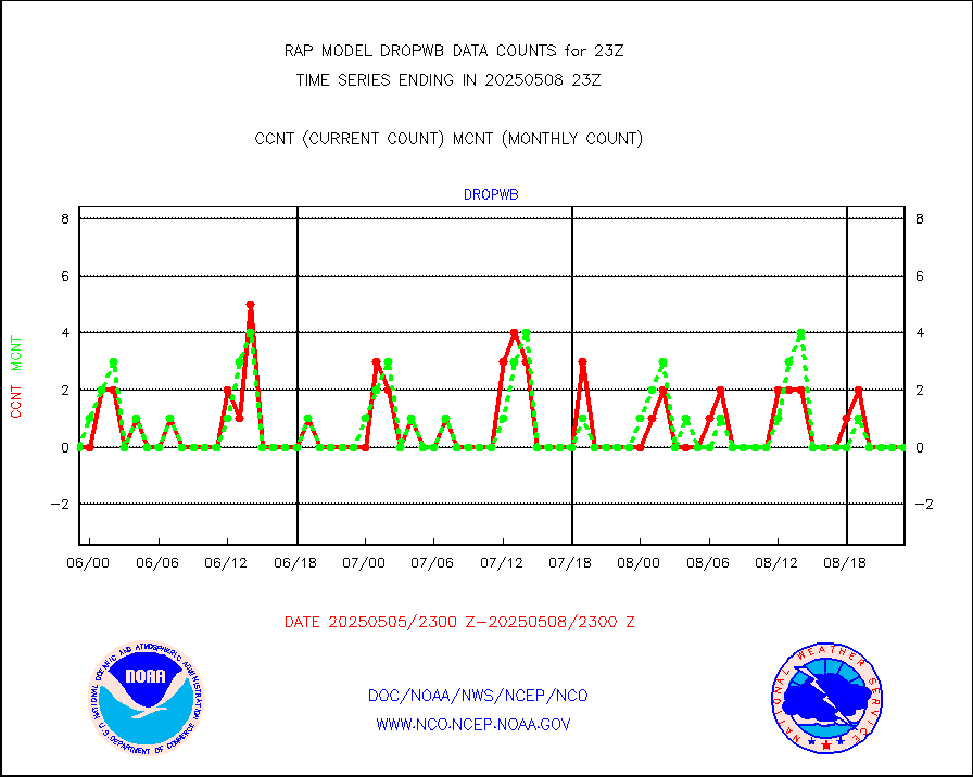
AMDAR aircraft data (decoded from AMDAR format) |
1296 |
890 |
145.6 % |
3019.75-0102.25 |
||||||||||
AMDAR aircraft data (decoded from BUFR) |
6906 |
7174 |
96.3 % |
3019.75-0102.25 |
||||||||||
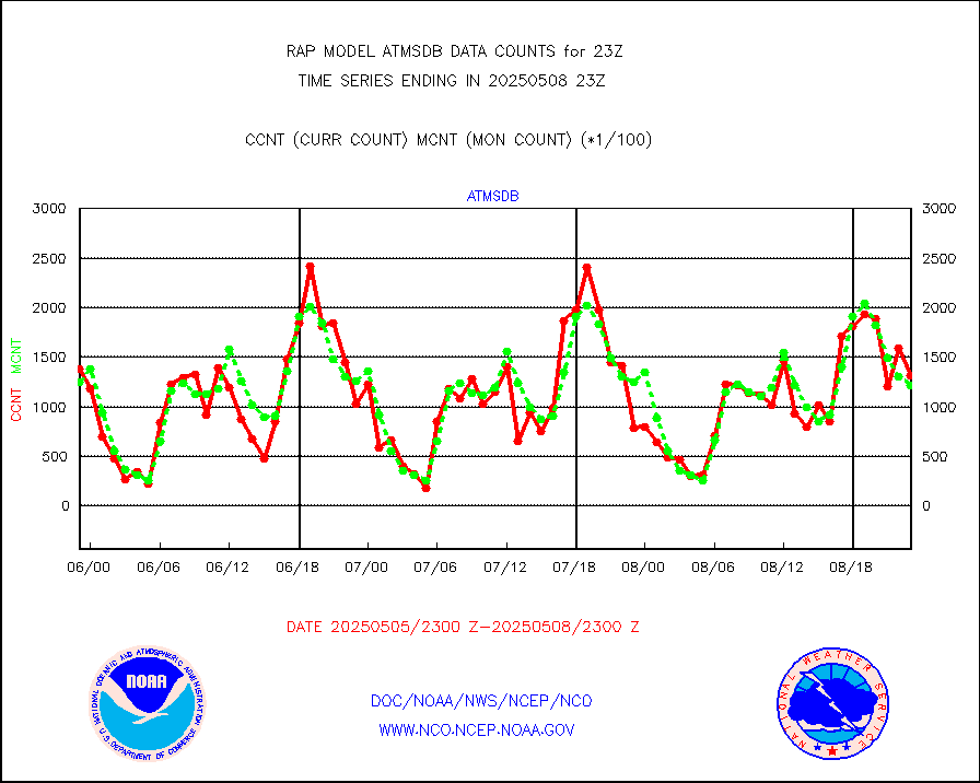
GCOM-W AMSR2 1B brightness temperatures |
982555 |
600375 |
163.7 % |
3020.00-3020.99 |
||||||||||
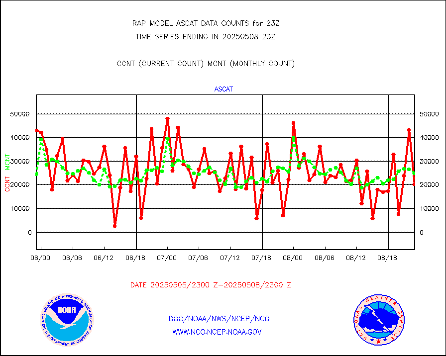
METOP 1-2 ASCAT products |
22239 |
24824 |
89.6 % |
3021.00-0101.00 |
||||||||||
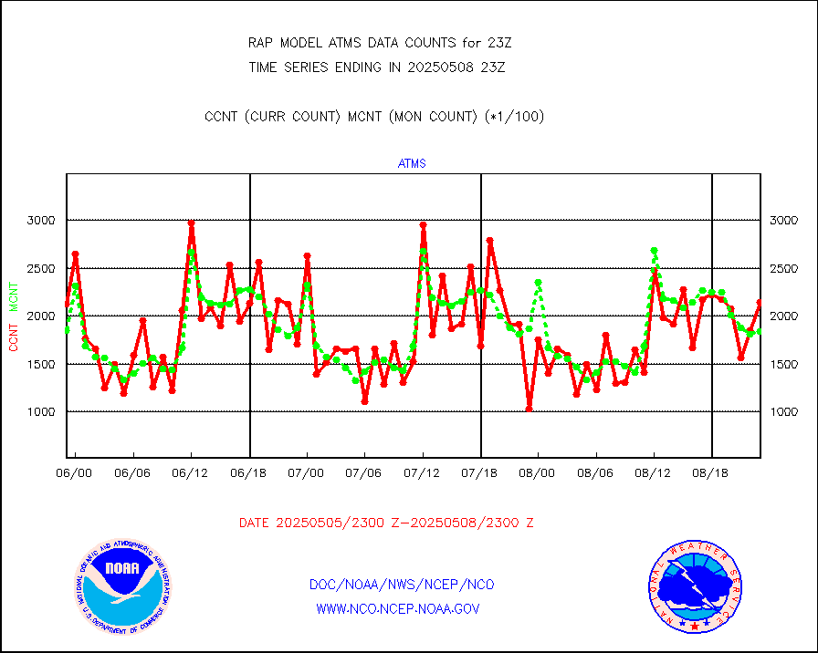
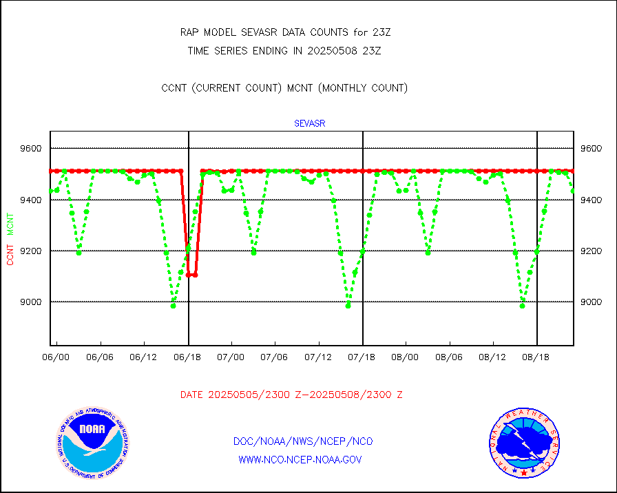
NPP/NOAA-20 ATMS brightness temperatures |
155830 |
176595 |
88.2 % |
3021.00-0100.99 |
||||||||||
NPP/NOAA-20 ATMS bright. temps-direct b-cast SSEC |
129024 |
115316 |
111.9 % |
3021.00-0100.99 |
||||||||||
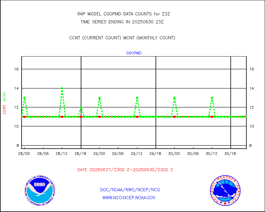
Coop/MADIS NEPP & HCN-Modernization NOAA COOP Obs |
11 |
11 |
100.0 % |
3022.50-3023.50 |
||||||||||
NPP/NOAA-20 CrIS full spctrl radn (431 ch subset) |
105710 |
98456 |
107.4 % |
3021.00-0100.99 |
||||||||||
NPP/NOAA-20 CrIS full spctrl radn dir brdcst SSEC |
43200 |
49012 |
88.1 % |
3021.00-0100.99 |
||||||||||
Coast Guard |
9 |
7 |
128.6 % |
3022.50-3023.50 |
||||||||||
Drifting buoys (decoded from BUFR) |
532 |
520 |
102.3 % |
3022.50-3023.50 |
||||||||||
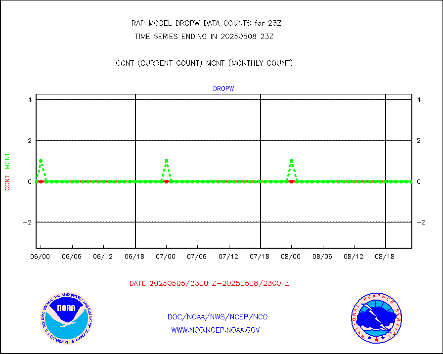
Dropwinsonde (from TEMP DROP) |
0 |
0 |
n/a |
3022.00-0100.00 |
||||||||||
Dropwinsonde (decoded from BUFR) |
0 |
0 |
n/a |
3022.00-0100.00 |
||||||||||
E-AMDAR (European AMDAR acft decoded from BUFR) |
8297 |
8716 |
95.2 % |
3019.75-0102.25 |
||||||||||
NOAA 15-19 & METOP 1-2 AMSU-A proc btmps frm RARS |
6300 |
7960 |
79.1 % |
3022.00-0100.00 |
||||||||||
NOAA 18-19 & METOP 1-2 MHS proc. btemps from RARS |
55526 |
74850 |
74.2 % |
3022.00-0100.00 |
||||||||||
GPM GMI Level 1C-R brightness temperatures |
465723 |
408188 |
114.1 % |
3020.00-0101.99 |
||||||||||
GPS radio occultation data |
169 |
157 |
107.6 % |
3021.00-0100.99 |
||||||||||
GOES-16/17 All Sky Radiances (proc.) |
809306 |
810854 |
99.8 % |
3021.00-0100.99 |
||||||||||
GOES-16/17 Clear Sky Radiances (proc.) |
401673 |
395479 |
101.6 % |
3021.00-0100.99 |
||||||||||
MTSAT/JMA water vapor imager derived cloud motion |
2116 |
3025 |
70.0 % |
3020.50-0101.50 |
||||||||||
GOES-16&up/NESDIS wv imgr/deep-lyr derivd cld mtn |
7983 |
7447 |
107.2 % |
3022.00-3022.99 |
||||||||||
METEOSAT/EUMETSAT wvpr imgr drv cld motion NBseq |
5181 |
5508 |
94.1 % |
3021.50-0100.49 |
||||||||||
GOES-16&up/NESDIS wv imgr/cld-top derived cld mtn |
18073 |
16898 |
107.0 % |
3022.00-3022.99 |
||||||||||
METOP 1-2 IASI 1C radiances-direct broadcast SSEC |
32640 |
42864 |
76.1 % |
3021.00-0100.99 |
||||||||||
METEOSAT/EUMETSAT ir lg-wave drv cld motion NBseq |
3002 |
3155 |
95.2 % |
3021.50-0100.49 |
||||||||||
VIIRS (NPP/NOAA-20) ir lg-wv drv cloud motion(NB) |
0 |
0 |
n/a |
3020.50-0101.50 |
||||||||||
AVHRR (NOAA/METOP) ir lg-wave derived cld motion |
0 |
0 |
n/a |
3020.50-0101.50 |
||||||||||
AVHRR (METOP) ir lg-wave derived cld motion |
0 |
0 |
n/a |
3021.50-0100.49 |
||||||||||
MTSAT/JMA infrared long-wave derived cloud motion |
2114 |
2445 |
86.5 % |
3020.50-0101.50 |
||||||||||
GOES-16&up/NESDIS ir long-wave derived cld motion |
32054 |
32367 |
99.0 % |
3022.00-3022.99 |
||||||||||
Korean AMDAR aircraft data (decoded from BUFR) |
180 |
124 |
145.2 % |
3019.75-0102.25 |
||||||||||
Land-based CMAN stations decoded from CMAN format |
38 |
44 |
86.4 % |
3022.50-3023.50 |
||||||||||
LLDN Long-rng lightning from Vaisala via NOAAPORT |
302493 |
255120 |
118.6 % |
3022.00-3023.50 |
||||||||||
NLDN Shrt-rng lightning from Vaisala via NOAAPORT |
20061 |
14464 |
138.7 % |
3022.00-3023.50 |
||||||||||
Moored buoys (decoded from BUFR) |
538 |
595 |
90.4 % |
3022.50-3023.50 |
||||||||||
Mesonet/MADIS Colorado E-470 (Interstate 470) |
24 |
24 |
100.0 % |
3022.50-3023.50 |
||||||||||
Mesonet/MADIS Alaska Department of Transportation |
116 |
89 |
130.3 % |
3022.50-3023.50 |
||||||||||
Mesonet/MADIS U.S. Army Aberdeen Proving Grounds |
0 |
0 |
n/a |
3022.50-3023.50 |
||||||||||
Mesonet/MADIS Citizen Weather Observers Program |
55323 |
56661 |
97.6 % |
3022.50-3023.50 |
||||||||||
Mesonet/MADIS "Anything Weather" |
0 |
0 |
n/a |
3022.50-3023.50 |
||||||||||
Mesonet/MADIS Colorado Dept. of Transportation |
0 |
0 |
n/a |
3022.50-3023.50 |
||||||||||
Mesonet/MADIS DC Net |
0 |
0 |
n/a |
3022.50-3023.50 |
||||||||||
Mesonet/MADIS Denver Urban Drainage & Flood Cntrl |
0 |
0 |
n/a |
3022.50-3023.50 |
||||||||||
Mesonet/MADIS Florida (FAWN & USF) |
3 |
3 |
100.0 % |
3022.50-3023.50 |
||||||||||
Mesonet/MADIS Florida Dept. of Transportation |
0 |
0 |
n/a |
3022.50-3023.50 |
||||||||||
Mesonet/MADIS Georgia Dept. of Transportation |
0 |
0 |
n/a |
3022.50-3023.50 |
||||||||||
Mesonet/MADIS NWS Hydromet Auto Data System(HADS) |
4149 |
4686 |
88.5 % |
3022.50-3023.50 |
||||||||||
Mesonet/MADIS Iowa Environmental |
150 |
158 |
94.9 % |
3022.50-3023.50 |
||||||||||
Mesonet/MADIS Indiana Dept. of Transportation |
0 |
0 |
n/a |
3022.50-3023.50 |
||||||||||
Mesonet/MADIS Iowa Department of Transportation |
0 |
0 |
n/a |
3022.50-3023.50 |
||||||||||
Mesonet/MADIS Kansas Department of Transportation |
339 |
316 |
107.3 % |
3022.50-3023.50 |
||||||||||
Mesonet/MADIS Oklahoma Mesonet |
630 |
550 |
114.5 % |
3022.50-3023.50 |
||||||||||
Mesonet/MADIS Louisiana State/Jackson State Univ. |
0 |
0 |
n/a |
3022.50-3023.50 |
||||||||||
Mesonet/MADIS Missouri Commercial Agricult Wx Net |
264 |
282 |
93.6 % |
3022.50-3023.50 |
||||||||||
Mesonet/MADIS Minnesota Dept. of Transportation |
0 |
0 |
n/a |
3022.50-3023.50 |
||||||||||
Mesonet/MADIS NOS-Phys Oceanographic Realtime Sys |
225 |
255 |
88.2 % |
3022.50-3023.50 |
||||||||||
Mesonet/MADIS NFIC Remote Automated Wx Stns(RAWS) |
1340 |
1339 |
100.1 % |
3022.50-3023.50 |
||||||||||
Mesonet/MADIS many providers, not separated out |
37482 |
38009 |
98.6 % |
3022.50-3023.50 |
||||||||||
Mesonet/MADIS UrbaNet |
2870 |
3063 |
93.7 % |
3022.50-3023.50 |
||||||||||
Mesonet/MADIS Virginia Dept. of Transportation |
0 |
0 |
n/a |
3022.50-3023.50 |
||||||||||
Mesonet/MADIS "Weather for You" |
0 |
0 |
n/a |
3022.50-3023.50 |
||||||||||
Mesonet/MADIS Wisconsin Dept. of Transportation |
0 |
0 |
n/a |
3022.50-3023.50 |
||||||||||
Mesonet/MADIS MesoWest (many subproviders) |
37103 |
35804 |
103.6 % |
3022.50-3023.50 |
||||||||||
Mesonet/MADIS West Texas |
5043 |
5100 |
98.9 % |
3022.50-3023.50 |
||||||||||
METOP 1-2 IASI 1C radiance data (varbl. channels) |
41933 |
32453 |
129.2 % |
3021.00-0100.99 |
||||||||||
NEXRAD Vel Azm Dsp(VAD) winds via Level 2 decoder |
890 |
804 |
110.7 % |
3022.00-0100.00 |
||||||||||
NOAA 16-19 Solar Backscatter UV-2 rad frm V8 BUFR |
0 |
0 |
n/a |
3021.00-3023.99 |
||||||||||
PIBAL (from PILOT, PILOT SHIP, PILOT MOBIL) |
0 |
0 |
n/a |
3022.00-0100.00 |
||||||||||
PIBAL (decoded from BUFR) |
0 |
0 |
n/a |
3022.00-0100.00 |
||||||||||
Manual PIREP aircraft data (dcded from AIREP fmt) |
474 |
470 |
100.9 % |
3019.75-0102.25 |
||||||||||
Profilr winds from PIBAL (PILOT,PILOT SHIP/MOBIL) |
0 |
0 |
n/a |
3021.50-0100.50 |
||||||||||
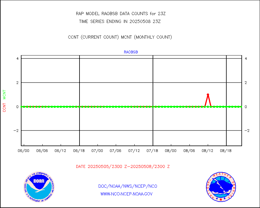
Rawinsonde - fixed land (decoded from BUFR) |
13 |
11 |
118.2 % |
3022.00-0100.00 |
||||||||||
Rawinsonde - mobile land (from TEMP/PILOT MOBIL) |
0 |
0 |
n/a |
3022.00-0100.00 |
||||||||||
Rawinsonde - mobile land (decoded from BUFR) |
0 |
0 |
n/a |
3022.00-0100.00 |
||||||||||
Rawinsonde - ship (from TEMP SHIP, PILOT SHIP) |
0 |
0 |
n/a |
3022.00-0100.00 |
||||||||||
Rawinsonde - ship (decoded from BUFR) |
0 |
0 |
n/a |
3022.00-0100.00 |
||||||||||
NEXRAD radial wind (Level 2 - GTS) |
1717236 |
1257492 |
136.6 % |
3022.50-3023.49 |
||||||||||
Flight level reconnaissance aircraft data |
0 |
0 |
n/a |
3022.00-0100.00 |
||||||||||
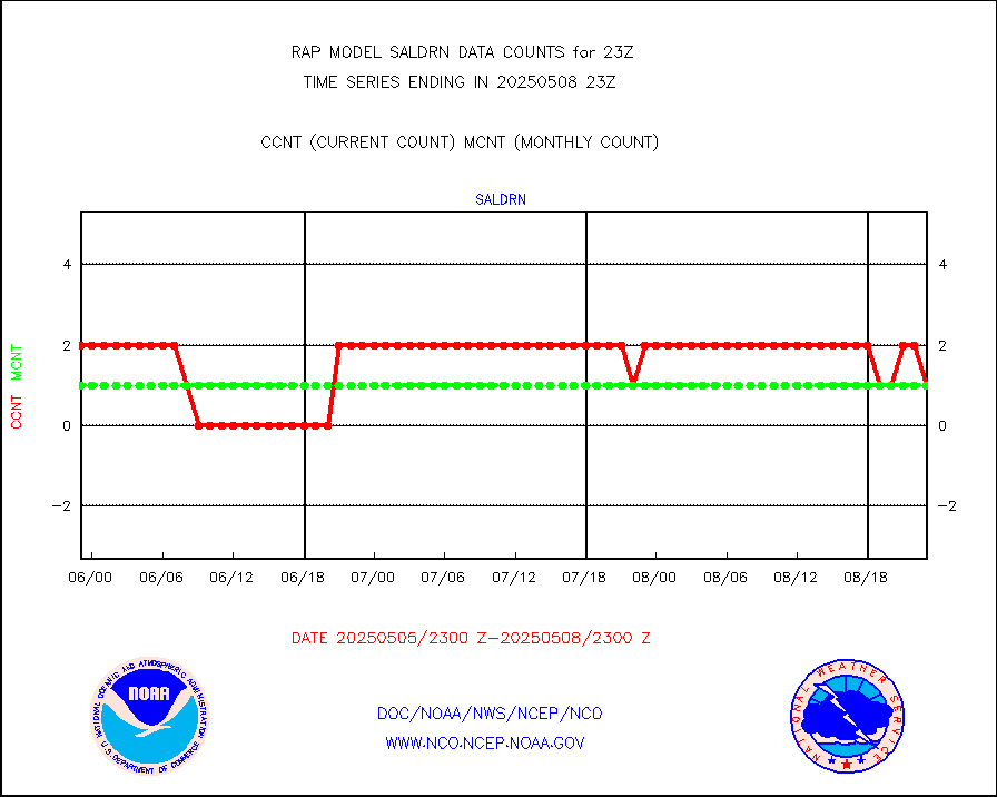
Surface Marine Saildrone (decoded from BUFR) |
2 |
2 |
100.0 % |
3021.00-0100.99 |
||||||||||
Megha-Tropiques SAPHIR L1A2 brightness temps |
0 |
0 |
n/a |
3020.00-0101.99 |
||||||||||
METEOSAT-10 2nd Gen SEVIRI All Sky Radiance(proc) |
9512 |
9505 |
100.1 % |
3021.00-0100.99 |
||||||||||
METEOSAT-10 2nd Gen SEVIRI Clr Sky Radiance(proc) |
0 |
0 |
n/a |
3021.00-0100.99 |
||||||||||
Ship - manual and automatic, restricted |
3 |
5 |
60.0 % |
3022.50-3023.50 |
||||||||||
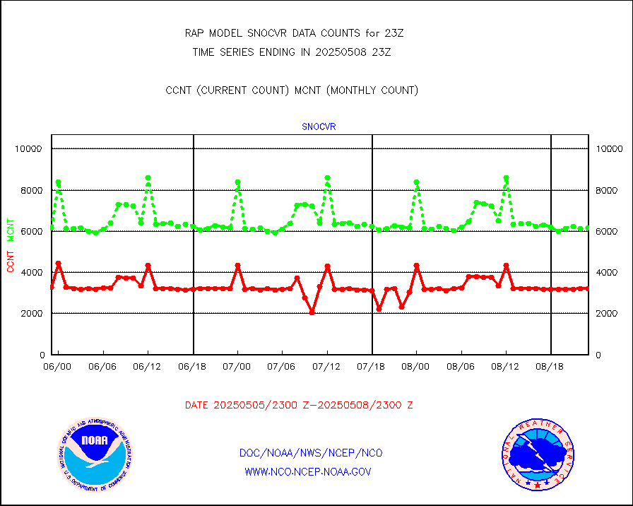
NOW COVER, DEPTH/DENSITY AND WATER EQUIVALENT |
3147 |
6001 |
52.4 % |
3021.00-0101.00 |
||||||||||
Sub-surface float and glider profile (BUFR) |
4 |
4 |
100.0 % |
3021.00-0100.99 |
||||||||||
Synoptic - restricted (WMO Res 40) manual & auto. |
0 |
0 |
n/a |
3022.50-3023.50 |
||||||||||
Synoptic - restricted (WMO Res 40)(decoded BUFR) |
347 |
361 |
96.1 % |
3022.50-3023.50 |
||||||||||
Synoptic - mobile manual & auto (decoded fr BUFR) |
0 |
0 |
n/a |
3022.50-3023.50 |
||||||||||
TAMDAR aircft data-all types(from Panasonic,BUFR) |
105 |
171 |
61.4 % |
3019.75-0102.25 |
||||||||||
MTSAT/JMA visible derived cloud motion |
1785 |
1638 |
109.0 % |
3020.50-0101.50 |
||||||||||
GOES-16&up/NESDIS visible derived cloud motion |
167667 |
161758 |
103.7 % |
3022.00-3022.99 |
||||||||||
METEOSAT/EUMETSAT visible drv cld motion NBseq |
459 |
232 |
197.8 % |
3021.50-0100.49 |
||||||||||


