| Critical Data with Normal Counts |
|---|
| Type | Description | Hourly Count | Monthly Average | Percent (%) of Monthly Mean | UTC Time Window |
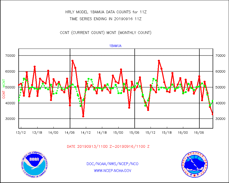
1bamua |
NOAA 15-19 & METOP 1-2 AMSU-A NCEP-proc. br.temps |
32815 |
41313 |
79.4 % |
1609.00-1609.99 |
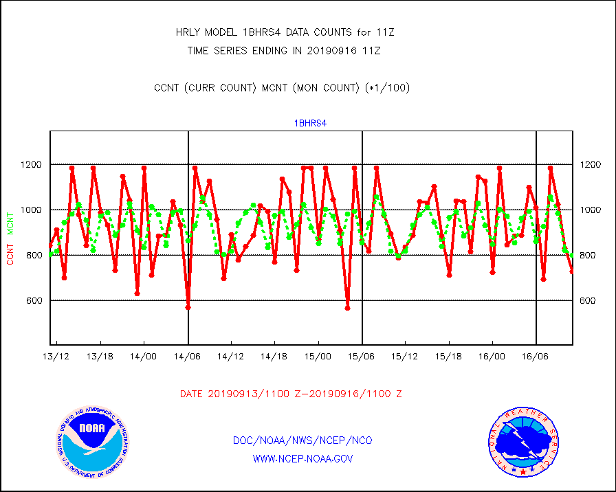
1bhrs4 |
NOAA 18-19 & METOP 1-2 HIRS-4 NCEP-proc. br.temps |
72747 |
79963 |
91.0 % |
1609.00-1609.99 |
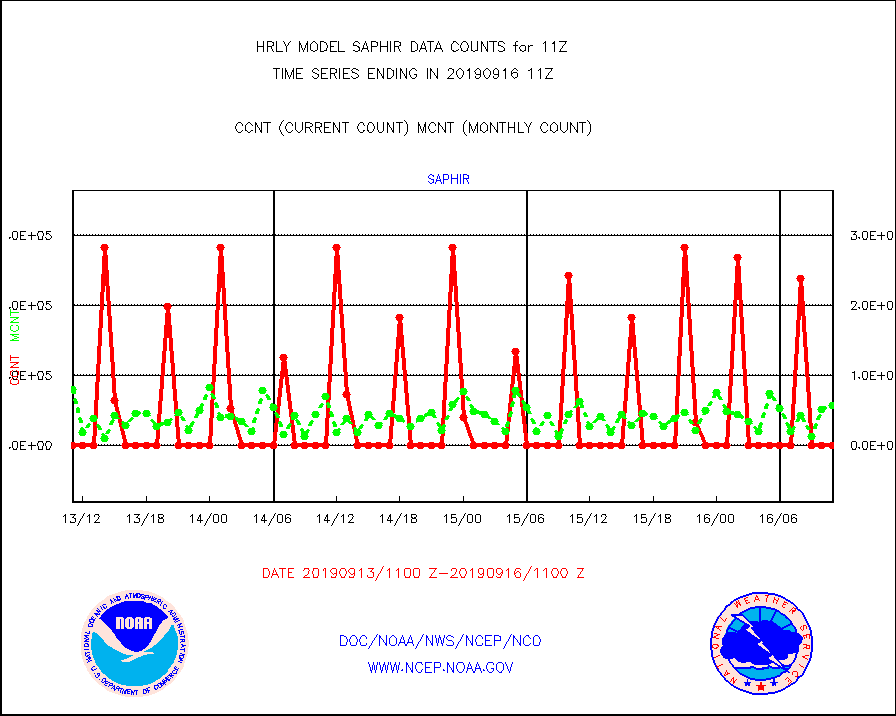
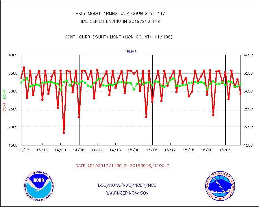
1bmhs |
NOAA 18-19 & METOP 1-2 MHS NCEP-proces. br. temps |
291578 |
319827 |
91.2 % |
1609.00-1609.99 |
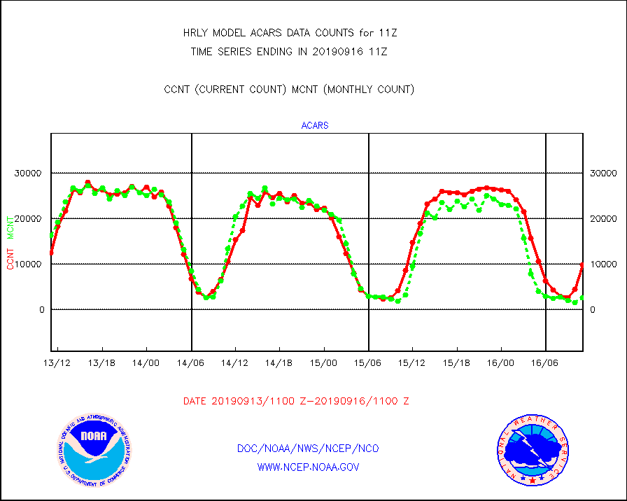
acars |
MDCRS ACARS acft data from ARINC(dcded from BUFR) |
9730 |
2559 |
380.2 % |
1610.50-1611.49 |
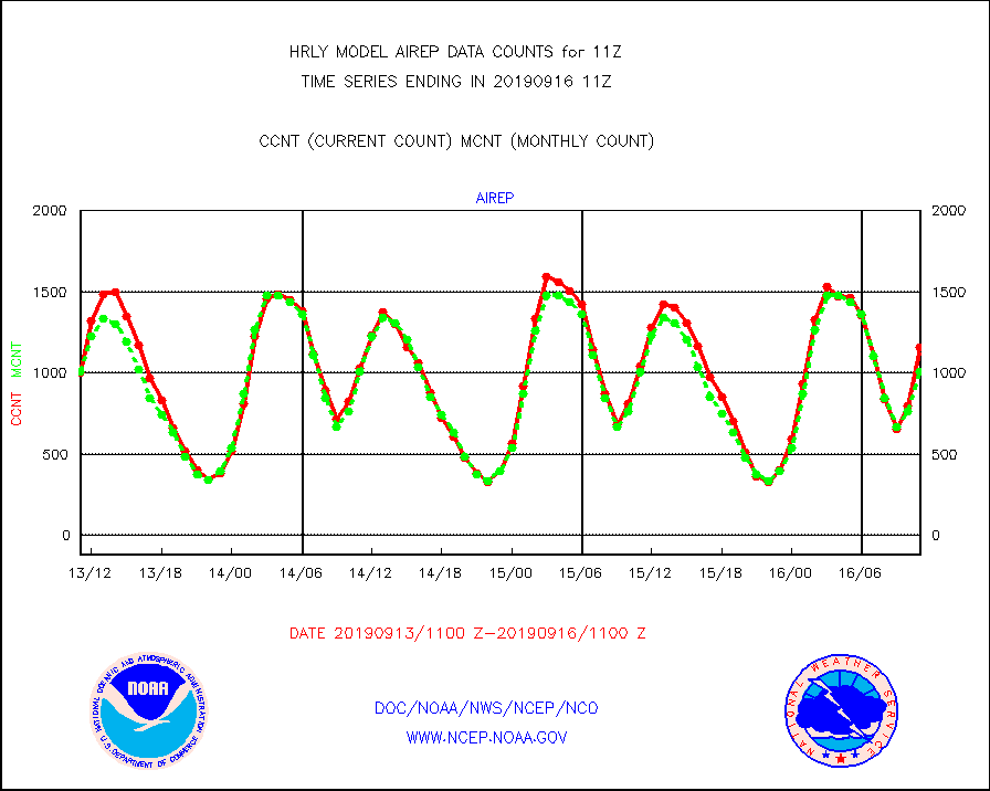
airep |
Manual AIREP aircraft data (dcded from AIREP fmt) |
1159 |
1009 |
114.9 % |
1610.50-1611.49 |
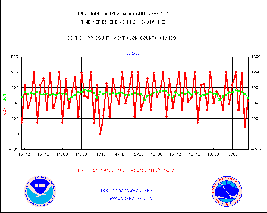
airsev |
AQUA AIRS/AMSU-A/HSB brightness temps- every FOV |
70689 |
69033 |
102.4 % |
1608.50-1609.49 |
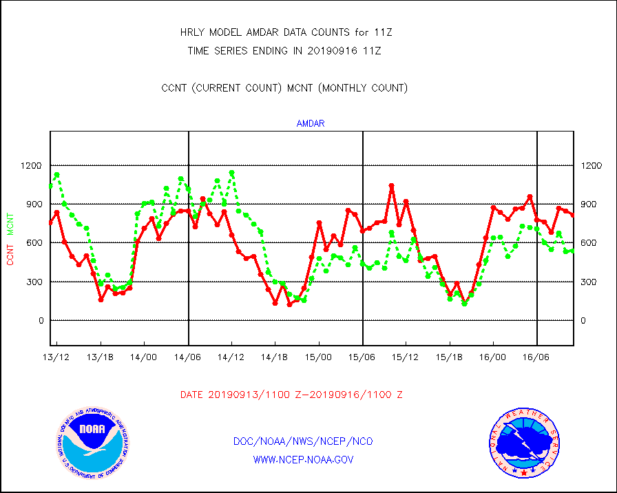
amdar |
AMDAR aircraft data (decoded from AMDAR format) |
814 |
538 |
151.3 % |
1610.50-1611.49 |
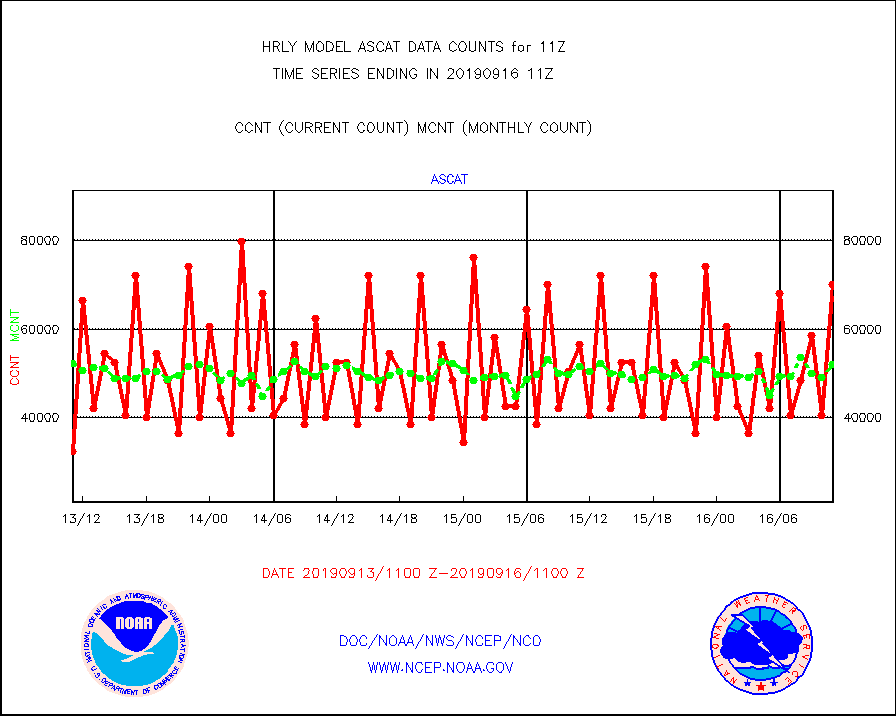
ascat |
METOP 1-2 ASCAT products |
70182 |
52038 |
134.9 % |
1609.50-1610.49 |
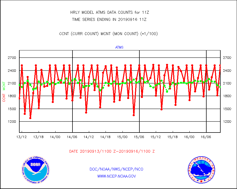
atms |
NPP Adv. Tech. Microwave Sounder (ATMS) br. temps |
252096 |
201056 |
125.4 % |
1609.50-1610.49 |
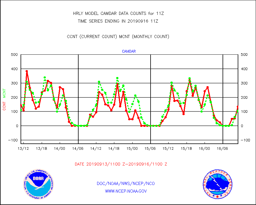
camdar |
Canadian AMDAR aircraft data (decoded from BUFR) |
135 |
106 |
127.4 % |
1610.50-1611.49 |
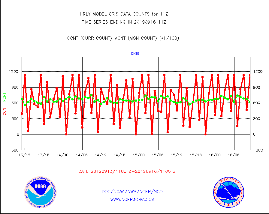
cris |
NPP Cross-track Infrared Sounder (CrIS) radiances |
113850 |
61637 |
184.7 % |
1609.50-1610.49 |
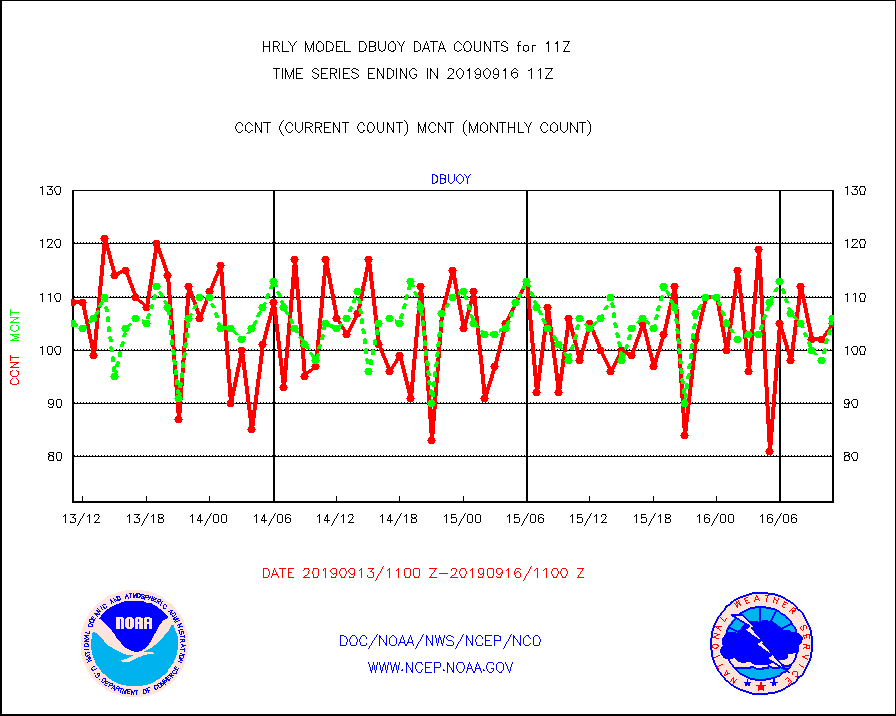
dbuoy |
Buoys decoded from FM-18 fmt (moored or drifting) |
105 |
106 |
99.1 % |
1610.50-1611.49 |
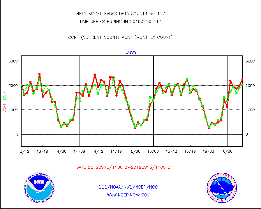
eadas |
E-AMDAR (European AMDAR acft decoded from BUFR) |
2258 |
2048 |
110.3 % |
1610.50-1611.49 |
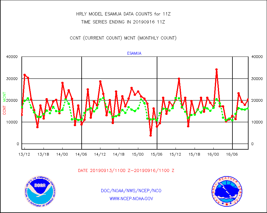
esamua |
NOAA 15-19 & METOP 1-2 AMSU-A proc btmps frm RARS |
20372 |
16227 |
125.5 % |
1610.50-1611.49 |
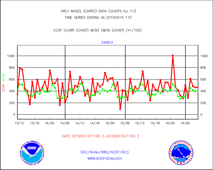
eshrs3 |
NOAA 15-19 & METOP 1-2 HIRS-3/4 pr btmps frm RARS |
46622 |
40482 |
115.2 % |
1610.50-1611.49 |
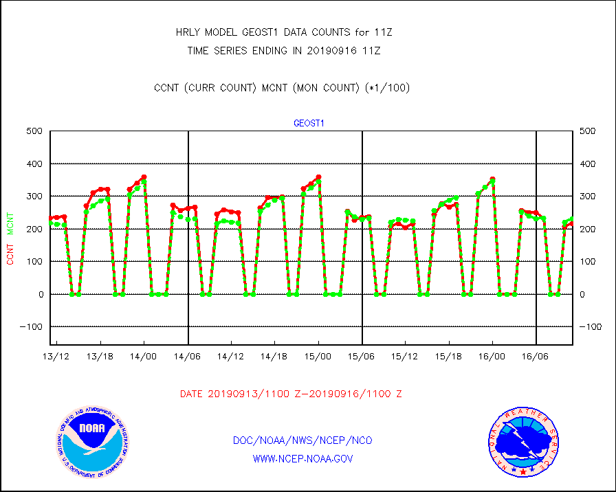
geost1 |
GOES/NESDIS hi-resol. (1x1 f-o-v) sndgs/radiances |
21700 |
23033 |
94.2 % |
1610.50-1611.49 |
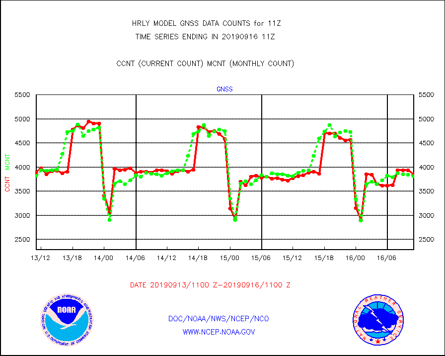
gnss |
Grnd-based Gbl Navigation Sat System (GNSS) data |
3857 |
3809 |
101.3 % |
1610.00-1610.99 |
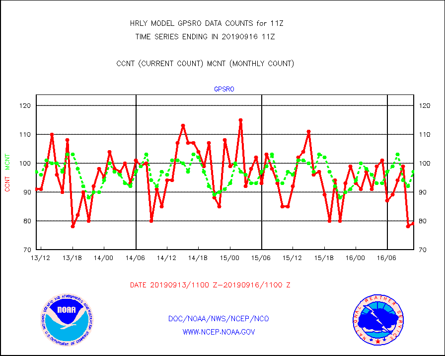
gpsro |
GPS radio occultation data |
79 |
97 |
81.4 % |
1608.50-1609.49 |
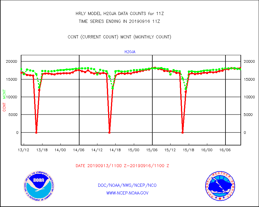
h20ja |
MTSAT/JMA water vapor imager derived cloud motion |
18181 |
17823 |
102.0 % |
1608.50-1609.49 |
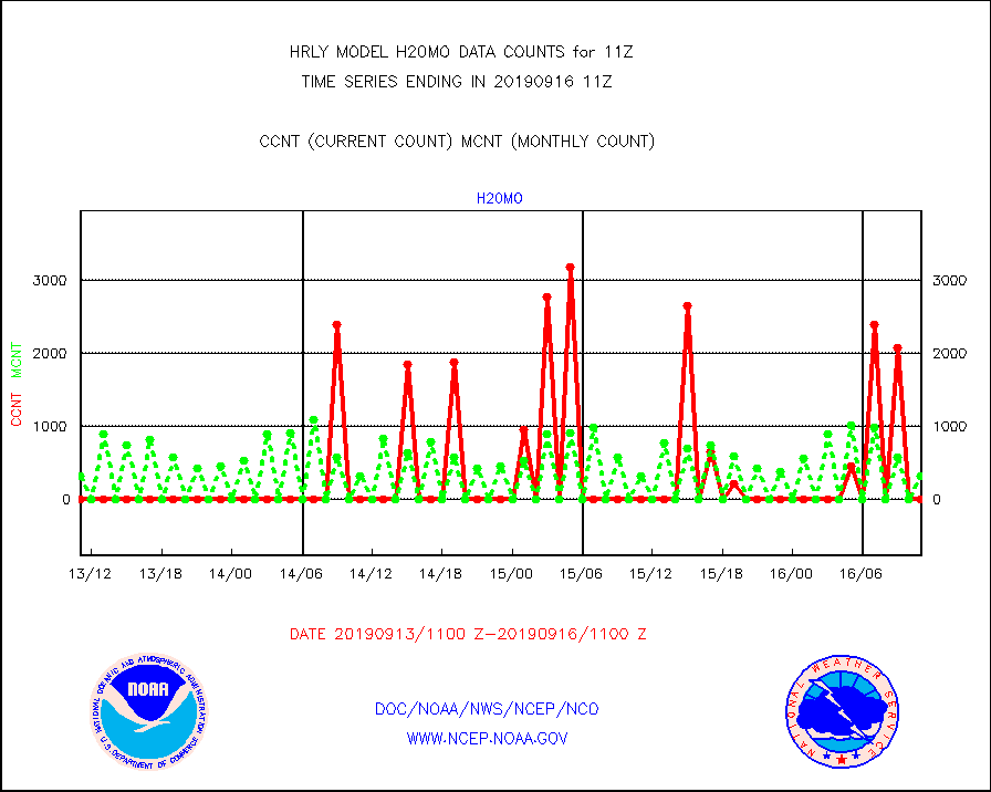
h20mo |
MODIS (AQUA/TERRA) wvpr imager derived cld motion |
0 |
312 |
0.0 % |
1607.00-1607.99 |
h2ius |
GOES/NESDIS water vapor imager derived cld motion |
4012 |
4181 |
96.0 % |
1610.00-1610.99 |
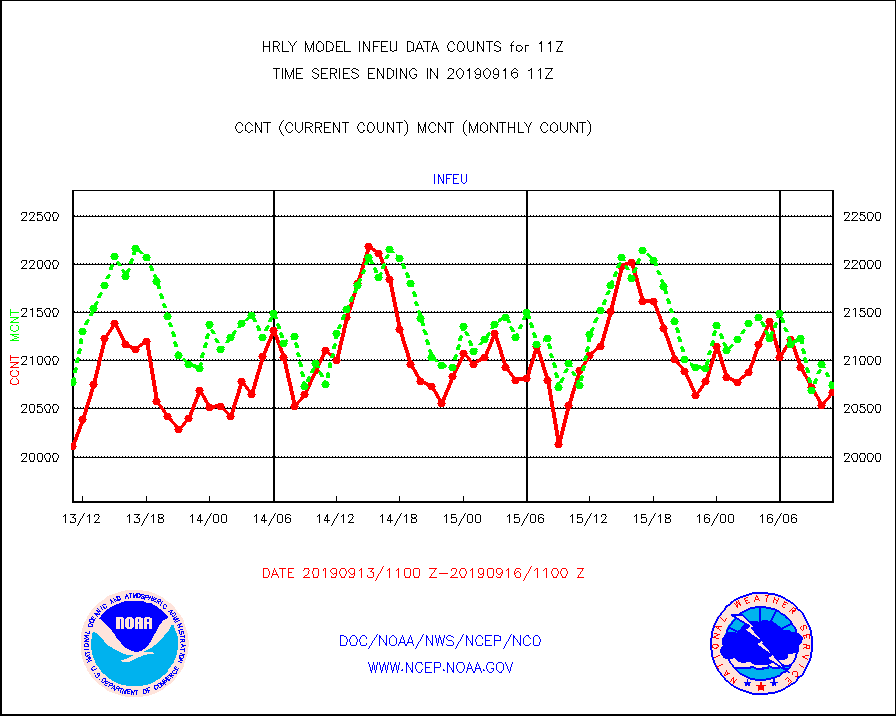
infeu |
METEOSAT/EUMETSAT ir lg-wave derived cloud motion |
20675 |
20743 |
99.7 % |
1609.50-1610.49 |
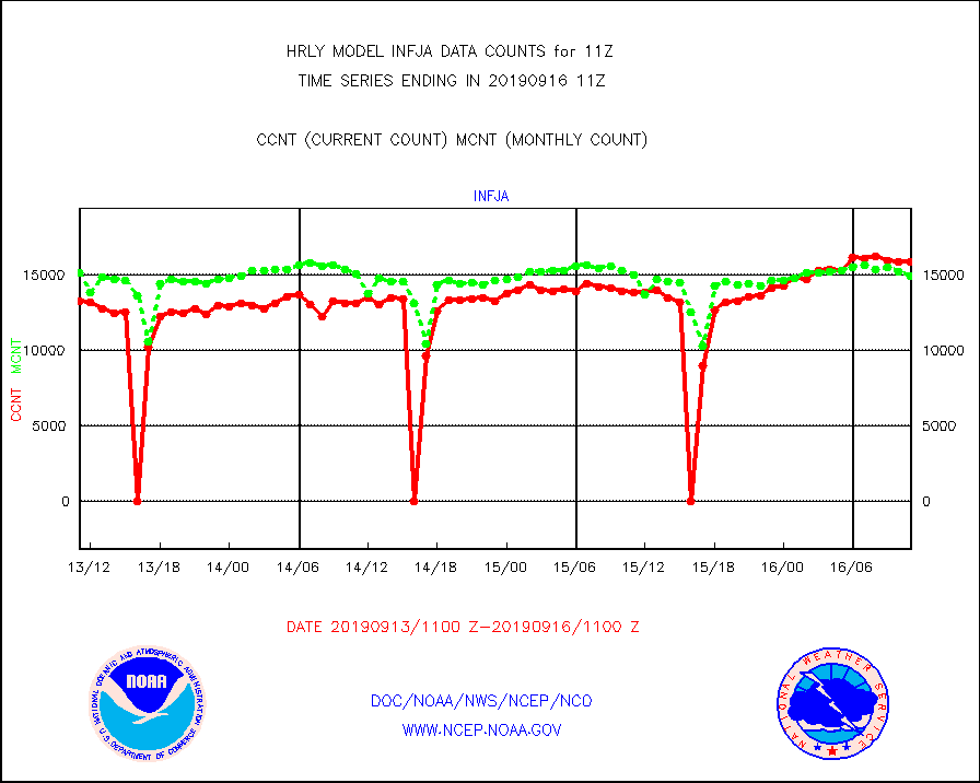
infja |
MTSAT/JMA infrared long-wave derived cloud motion |
15875 |
14932 |
106.3 % |
1608.50-1609.49 |
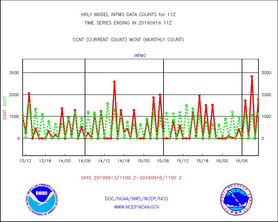
infmo |
MODIS (AQUA/TERRA) ir l-wave derived cloud motion |
1776 |
1133 |
156.8 % |
1607.00-1607.99 |
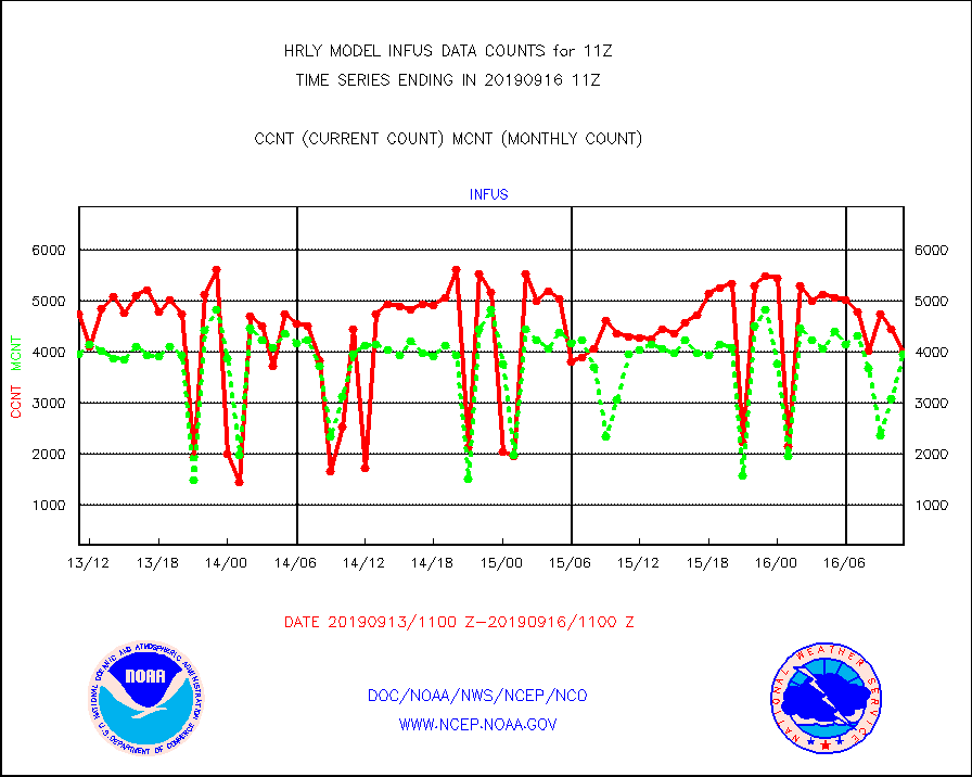
infus |
GOES/NESDIS infrared lg-wave derived cloud motion |
4003 |
3972 |
100.8 % |
1610.00-1610.99 |
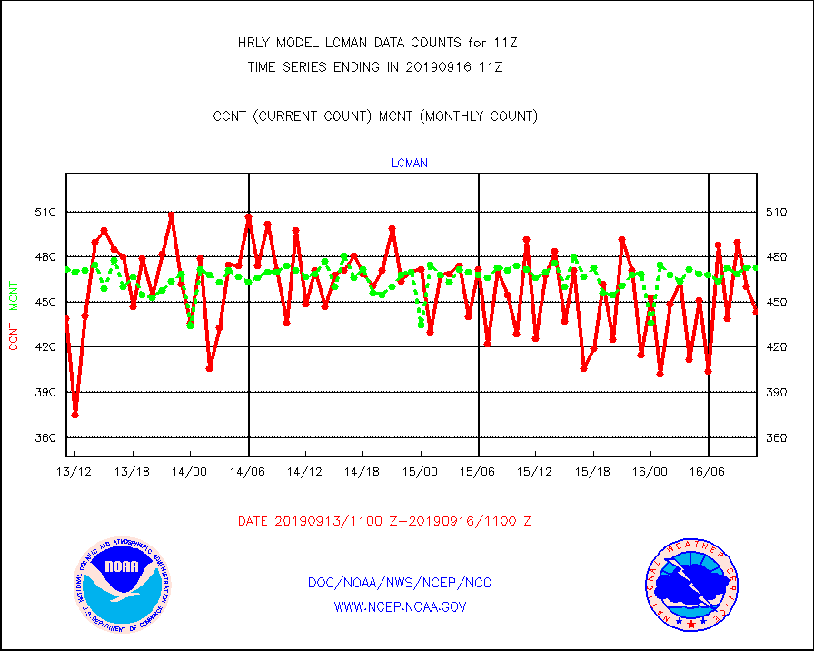
lcman |
Land-based CMAN stations decoded from CMAN format |
443 |
473 |
93.7 % |
1610.50-1611.49 |
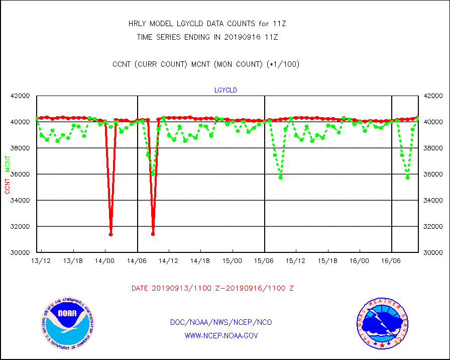
lgycld |
GOES/NASA(Langley) hi-res. (1x1 f-o-v) cloud data |
4033809 |
4028597 |
100.1 % |
1610.50-1611.49 |
mbuoy |
Buoys decoded from FM-13 format (moored) |
731 |
718 |
101.8 % |
1610.50-1611.49 |
metar |
Aviation - METAR |
8175 |
8331 |
98.1 % |
1610.50-1611.49 |
mso470 |
Mesonet/MADIS Colorado E-470 (Interstate 470) |
46 |
9 |
511.1 % |
1610.50-1611.49 |
msoalk |
Mesonet/MADIS Alaska Department of Transportation |
215 |
85 |
252.9 % |
1610.50-1611.49 |
msoapg |
Mesonet/MADIS U.S. Army Aberdeen Proving Grounds |
0 |
0 |
n/a |
1610.50-1611.49 |
msoapr |
Mesonet/MADIS Citizen Weather Observers Program |
53113 |
52659 |
100.9 % |
1610.50-1611.49 |
msoaws |
Mesonet/MADIS AWS Convergence Technologies, Inc. |
16468 |
16250 |
101.3 % |
1610.50-1611.49 |
msoawx |
Mesonet/MADIS "Anything Weather" |
0 |
0 |
n/a |
1610.50-1611.49 |
msocol |
Mesonet/MADIS Colorado Dept. of Transportation |
594 |
516 |
115.1 % |
1610.50-1611.49 |
msodcn |
Mesonet/MADIS DC Net |
0 |
0 |
n/a |
1610.50-1611.49 |
msoden |
Mesonet/MADIS Denver Urban Drainage & Flood Cntrl |
0 |
0 |
n/a |
1610.50-1611.49 |
msofla |
Mesonet/MADIS Florida (FAWN & USF) |
139 |
135 |
103.0 % |
1610.50-1611.49 |
msoflt |
Mesonet/MADIS Florida Dept. of Transportation |
0 |
0 |
n/a |
1610.50-1611.49 |
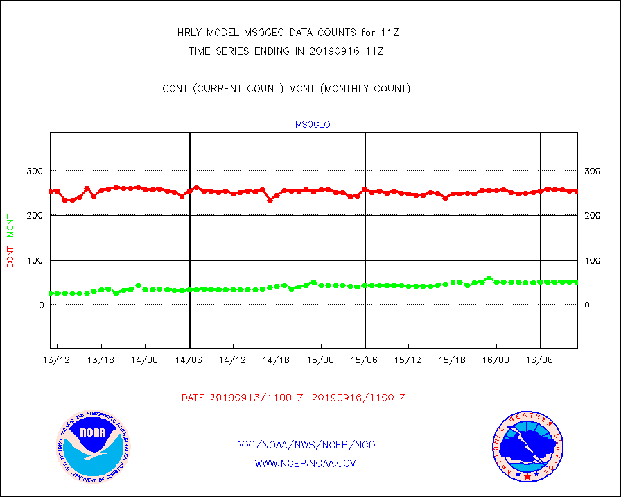
msogeo |
Mesonet/MADIS Georgia Dept. of Transportation |
255 |
51 |
500.0 % |
1610.50-1611.49 |
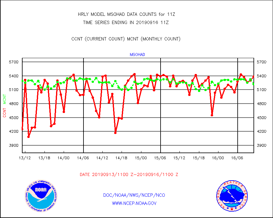
msohad |
Mesonet/MADIS NWS Hydromet Auto Data System(HADS) |
5385 |
5224 |
103.1 % |
1610.50-1611.49 |
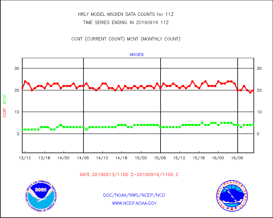
msoien |
Mesonet/MADIS Iowa Environmental |
20 |
4 |
500.0 % |
1610.50-1611.49 |
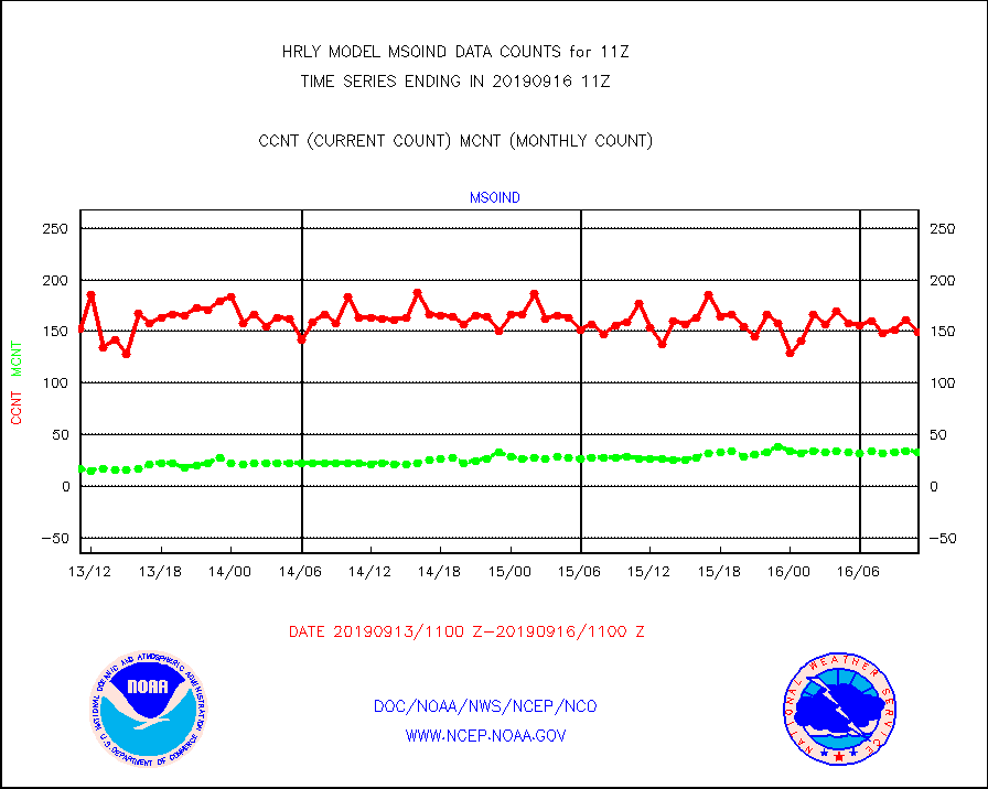
msoind |
Mesonet/MADIS Indiana Dept. of Transportation |
149 |
33 |
451.5 % |
1610.50-1611.49 |
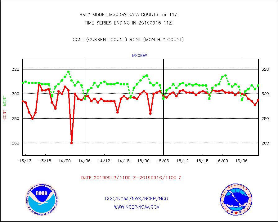
msoiow |
Mesonet/MADIS Iowa Department of Transportation |
295 |
307 |
96.1 % |
1610.50-1611.49 |
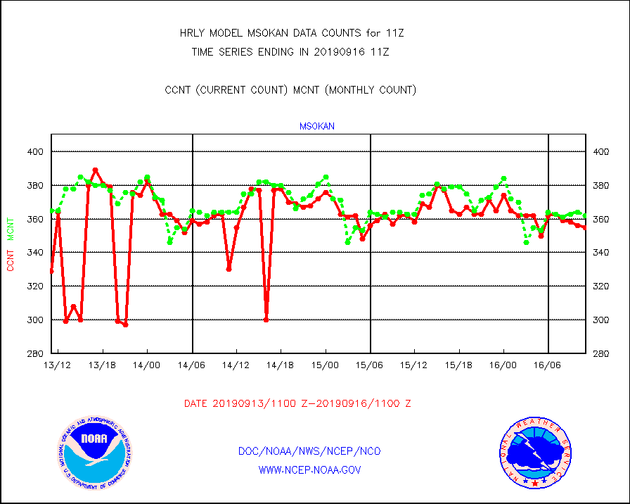
msokan |
Mesonet/MADIS Kansas Department of Transportation |
355 |
362 |
98.1 % |
1610.50-1611.49 |
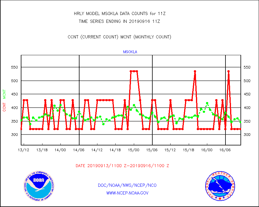
msokla |
Mesonet/MADIS Oklahoma Mesonet |
321 |
346 |
92.8 % |
1610.50-1611.49 |
msolju |
Mesonet/MADIS Louisiana State/Jackson State Univ. |
0 |
0 |
n/a |
1610.50-1611.49 |
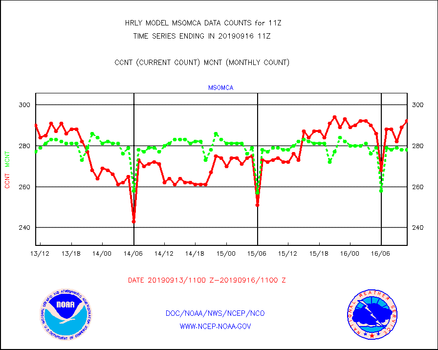
msomca |
Mesonet/MADIS Missouri Commercial Agricult Wx Net |
292 |
278 |
105.0 % |
1610.50-1611.49 |
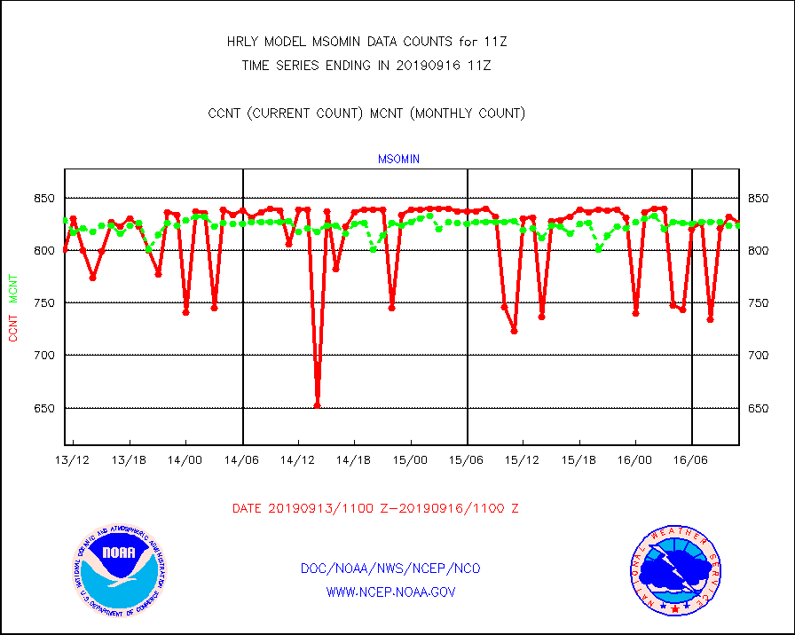
msomin |
Mesonet/MADIS Minnesota Dept. of Transportation |
826 |
824 |
100.2 % |
1610.50-1611.49 |
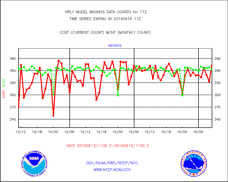
msonos |
Mesonet/MADIS NOS-Phys Oceanographic Realtime Sys |
373 |
363 |
102.8 % |
1610.50-1611.49 |
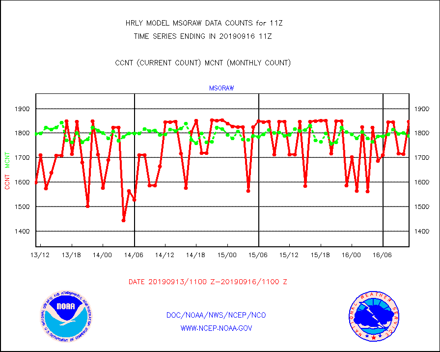
msoraw |
Mesonet/MADIS NFIC Remote Automated Wx Stns(RAWS) |
1848 |
1788 |
103.4 % |
1610.50-1611.49 |
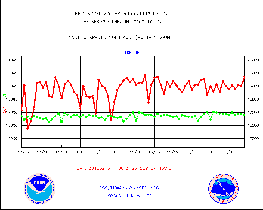
msothr |
Mesonet/MADIS many providers, not separated out |
19726 |
16816 |
117.3 % |
1610.50-1611.49 |
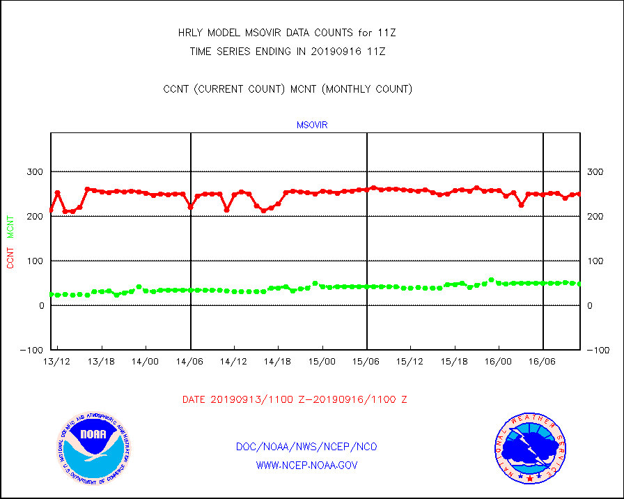
msovir |
Mesonet/MADIS Virginia Dept. of Transportation |
250 |
48 |
520.8 % |
1610.50-1611.49 |
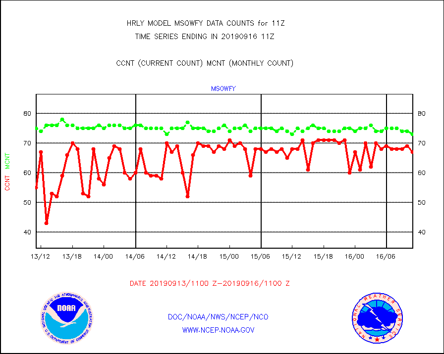
msowfy |
Mesonet/MADIS "Weather for You" |
67 |
73 |
91.8 % |
1610.50-1611.49 |
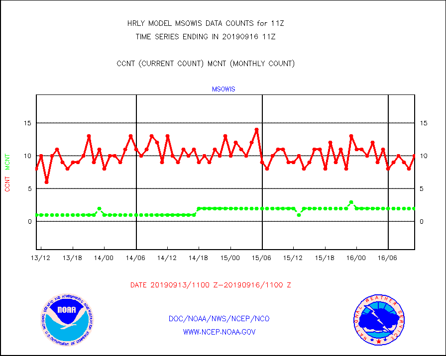
msowis |
Mesonet/MADIS Wisconsin Dept. of Transportation |
10 |
2 |
500.0 % |
1610.50-1611.49 |
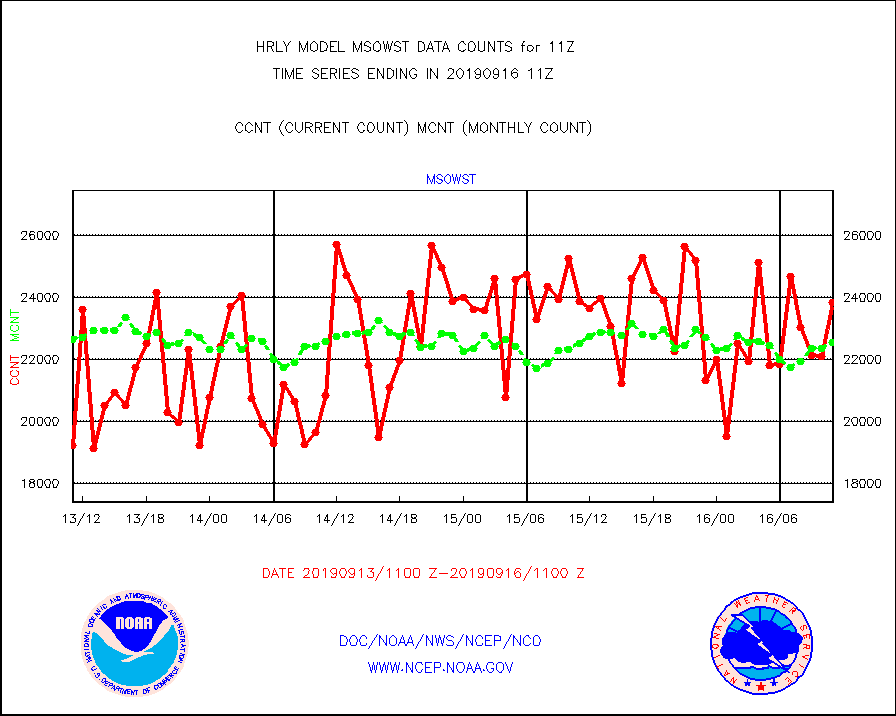
msowst |
Mesonet/MADIS MesoWest (many subproviders) |
23818 |
22531 |
105.7 % |
1610.50-1611.49 |
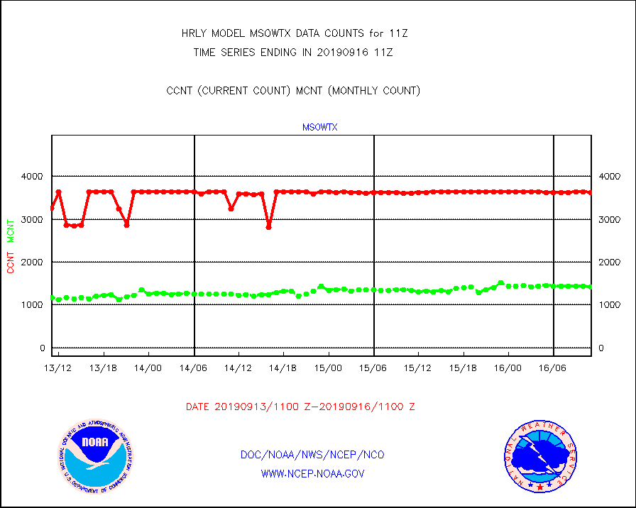
msowtx |
Mesonet/MADIS West Texas |
3629 |
1421 |
255.4 % |
1610.50-1611.49 |
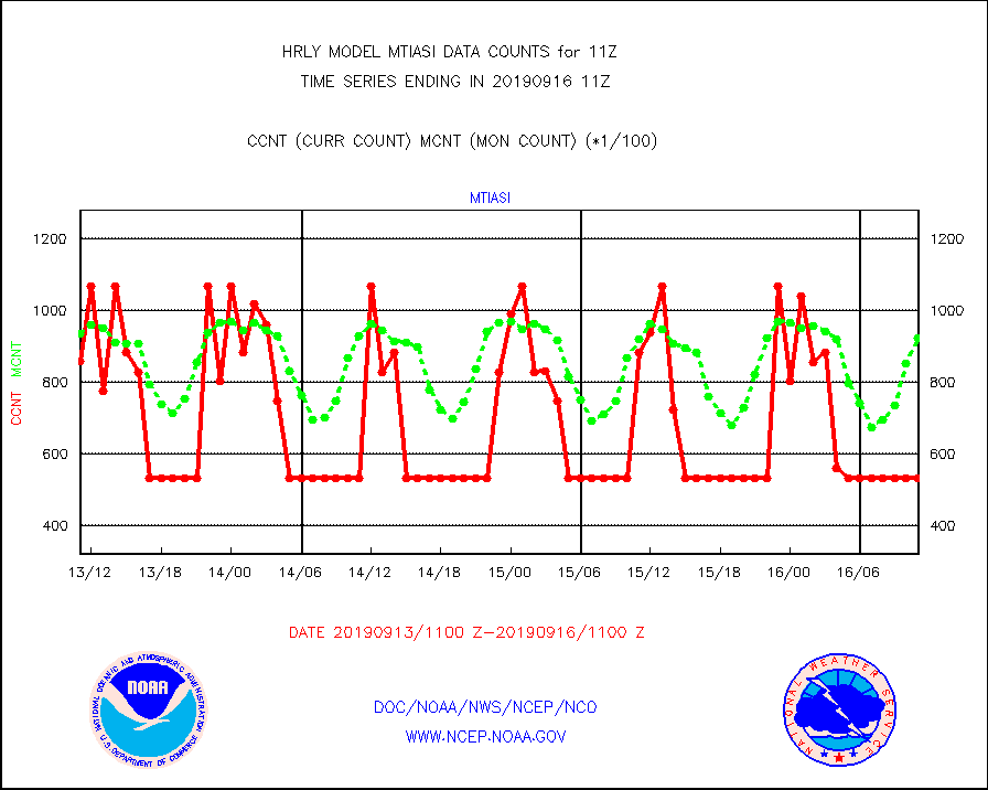
mtiasi |
METOP 1-2 IASI 1C radiance data (varbl. channels) |
53444 |
92419 |
57.8 % |
1609.00-1609.99 |
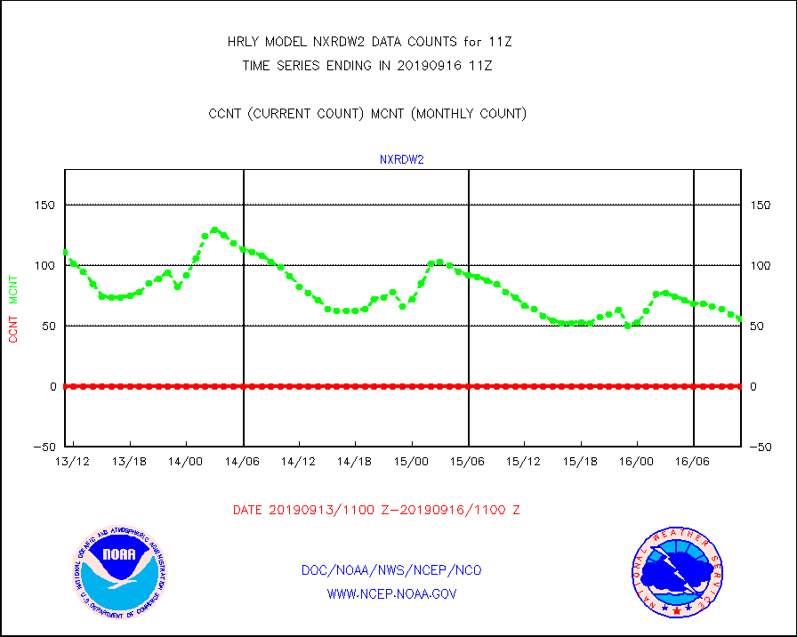
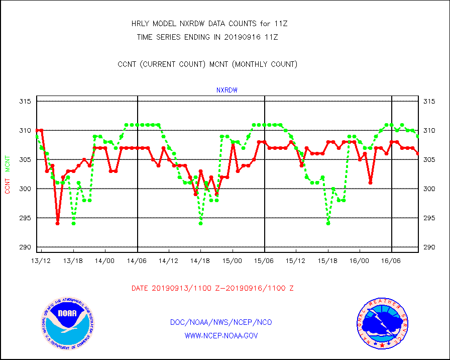
nxrdw |
NEXRAD Vel Azm Dsp(VAD) winds via radar coded msg |
306 |
309 |
99.0 % |
1610.50-1611.49 |
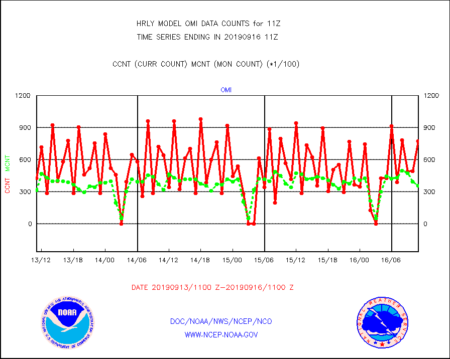
omi |
Aura Ozone Monitoring Instrument (OMI) data |
77460 |
35752 |
216.7 % |
1608.50-1609.49 |
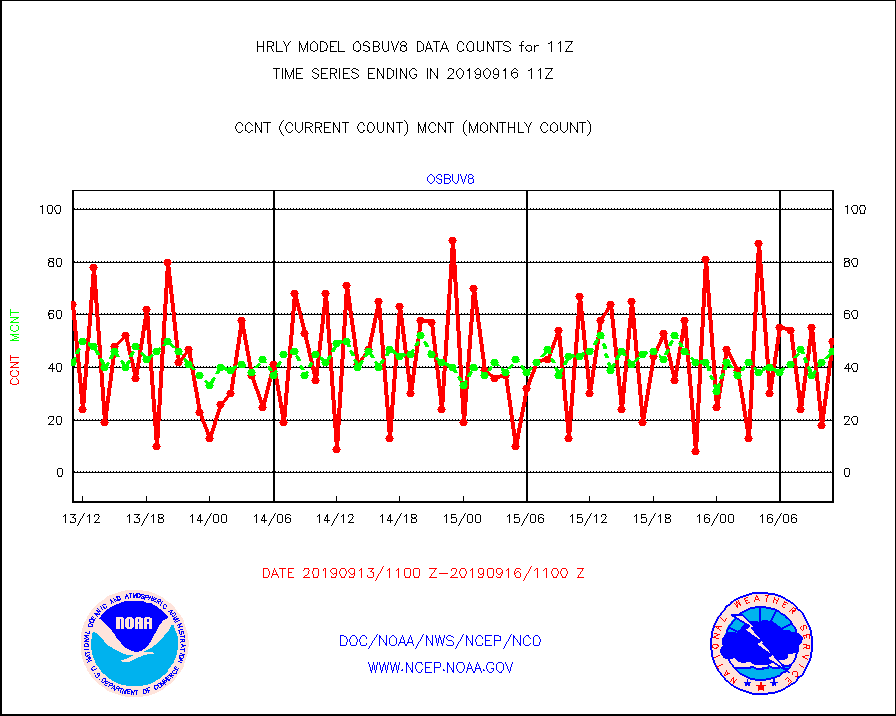
osbuv8 |
NOAA 16-19 Solar Backscatter UV-2 rad frm V8 BUFR |
50 |
46 |
108.7 % |
1609.00-1609.99 |
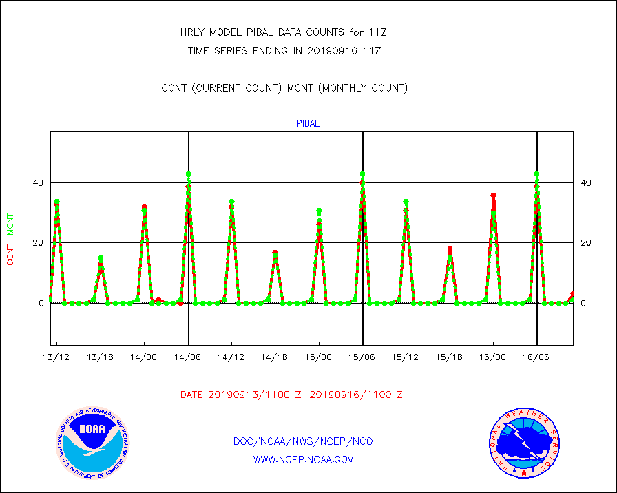
pibal |
PIBAL (from PILOT, PILOT SHIP, PILOT MOBIL) |
3 |
1 |
300.0 % |
1610.50-1611.49 |
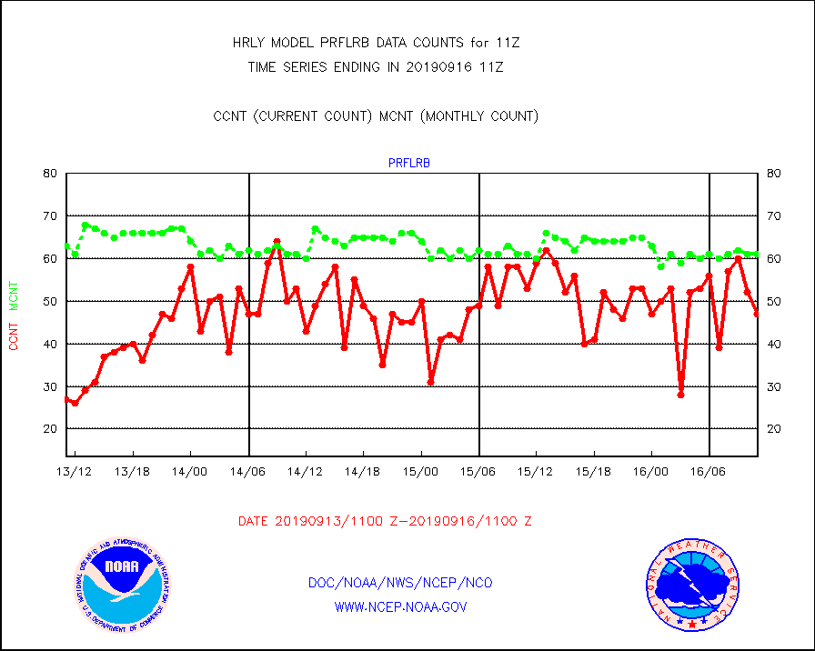
prflrb |
Multi-Agency Profiler (MAP) and SODAR winds |
47 |
61 |
77.0 % |
1610.50-1611.49 |
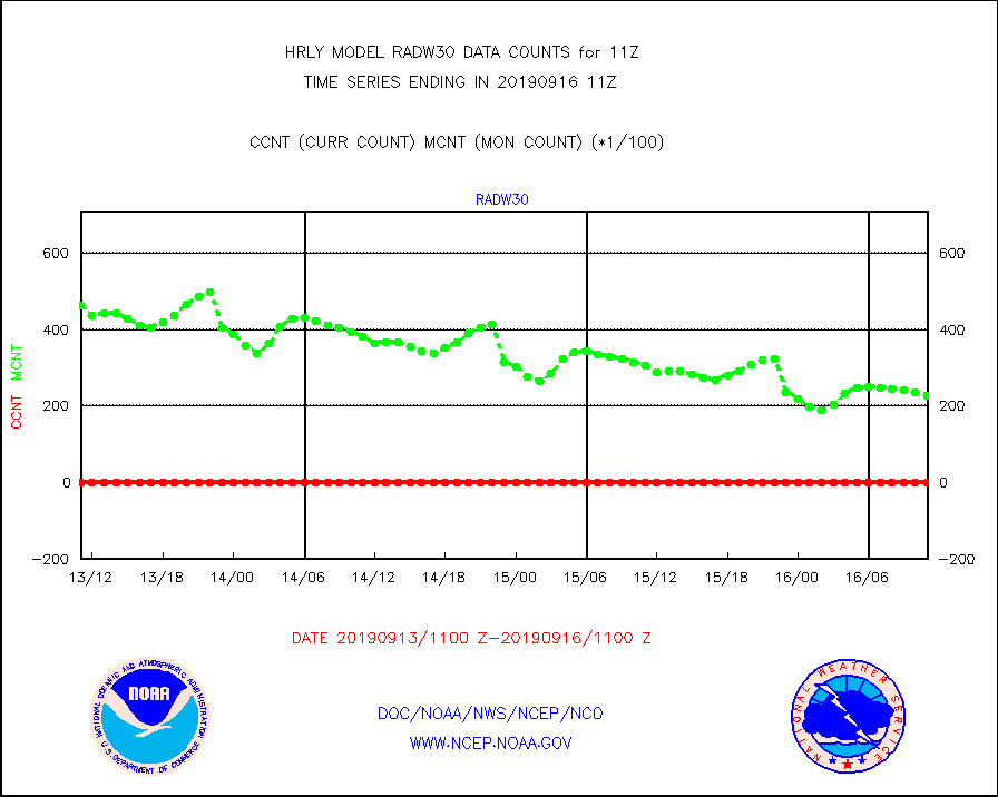
radw25 |
NEXRAD radial wind superobs (Level 2.5 - ORPG) |
0 |
0 |
n/a |
1609.50-1610.49 |
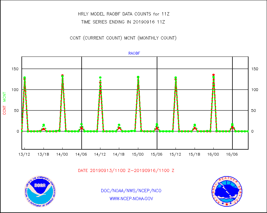
raobf |
Rawinsonde - fixed land (from TEMP or PILOT) |
0 |
0 |
n/a |
1610.50-1611.49 |
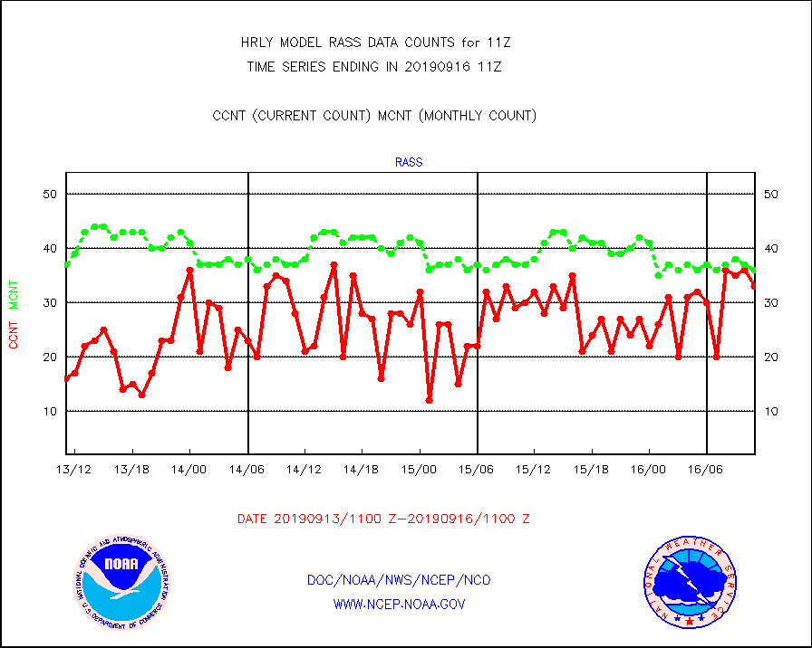
rass |
RASS temperatures (NOAA and Multi-Agency) |
33 |
36 |
91.7 % |
1610.50-1611.49 |
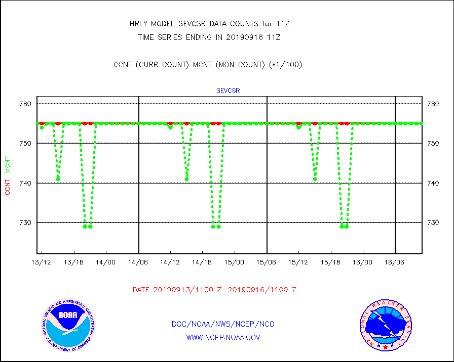
sevcsr |
METEOSAT-10 2nd Gen SEVIRI Clr Sky Radiance(proc) |
75512 |
75512 |
100.0 % |
1610.50-1611.49 |
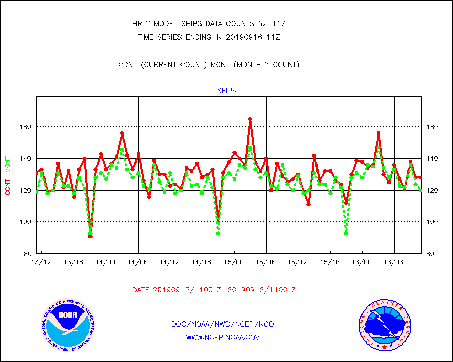
ships |
Ship - manual and automatic, restricted |
128 |
120 |
106.7 % |
1610.50-1611.49 |
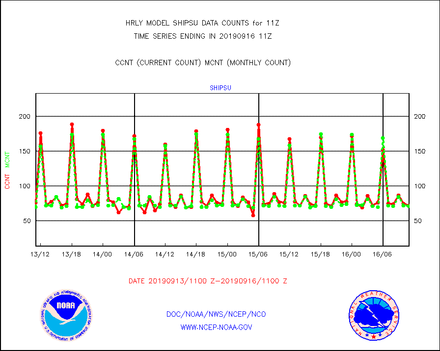
shipsu |
Ship - manual and automatic, unrestricted |
72 |
71 |
101.4 % |
1610.50-1611.50 |
synop |
Synoptic - fixed manual and automatic |
2644 |
2585 |
102.3 % |
1610.50-1611.49 |
synopr |
Synoptic - restricted (WMO Res 40) manual & auto. |
23 |
23 |
100.0 % |
1610.50-1611.49 |
tideg |
Tide gauge reports decoded from CREX format |
646 |
759 |
85.1 % |
1610.00-1610.99 |
| Data Types of Opportunity with Normal Counts |
|---|
| Type | Description | Hourly Count | Monthly Average | Percent (%) of Monthly Mean | UTC Time Window |
3p9us |
GOES/NESDIS infrared shrt-wave derived cld motion |
15780 |
16926 |
93.2 % |
1610.00-1610.99 |
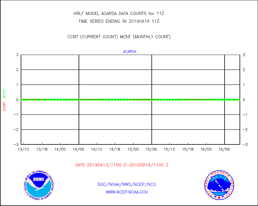
acarsa |
MDCRS ACARS acft data (ARINC via AFWA)(AIREP fmt) |
0 |
0 |
n/a |
1610.50-1611.49 |
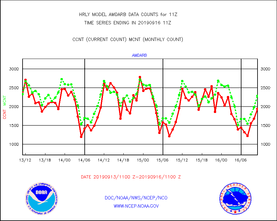
amdarb |
AMDAR aircraft data (decoded from BUFR) |
1940 |
2287 |
84.8 % |
1610.50-1611.49 |
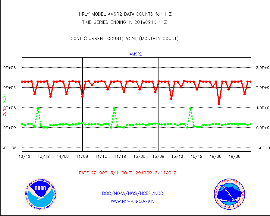
amsr2 |
GCOM-W AMSR2 1B brightness temperatures |
2309472 |
2181711 |
105.9 % |
1609.00-1609.99 |
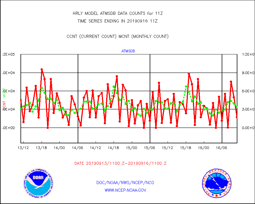
atmsdb |
NPP Adv Tech MW Sndr(ATMS) b. temps-dir bcst SSEC |
17280 |
33969 |
50.9 % |
1609.50-1610.49 |
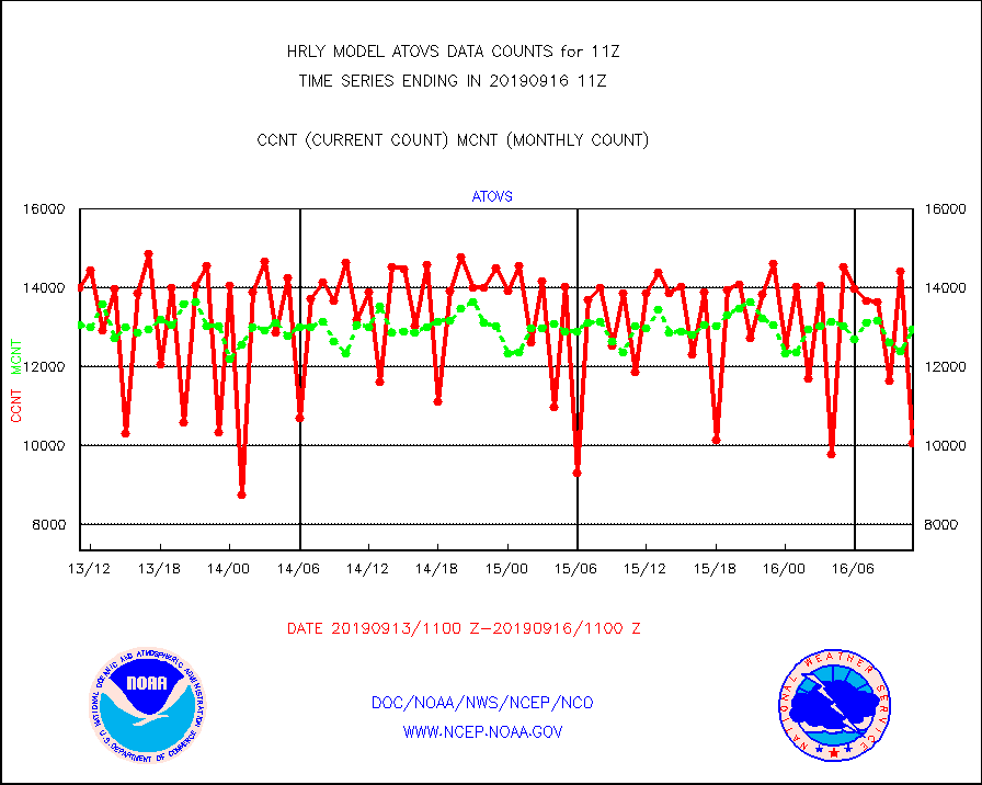
atovs |
POES/NESDIS - processed ATOVS soundings/radiances |
10062 |
12967 |
77.6 % |
1609.00-1609.99 |
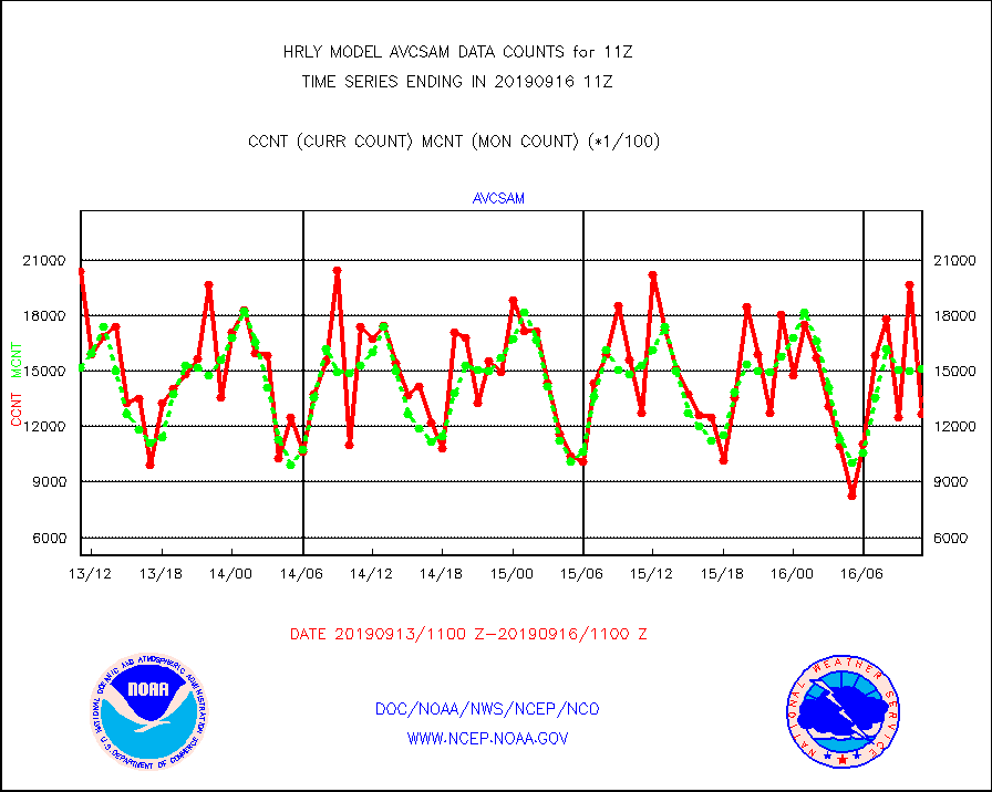
avcsam |
A.M.(N17,M2) AVHRR GAC NCEP-proc clr & sea btemps |
1269316 |
1514719 |
83.8 % |
1608.50-1609.49 |
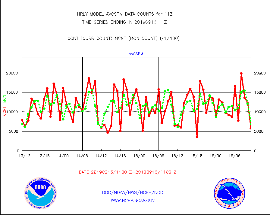
avcspm |
P.M.(N18-19) AVHRR GAC NCEP-proc clr & sea btemps |
572706 |
694332 |
82.5 % |
1608.50-1609.49 |
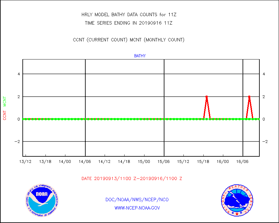
bathy |
Bathythermal |
0 |
0 |
n/a |
1604.00-1604.99 |
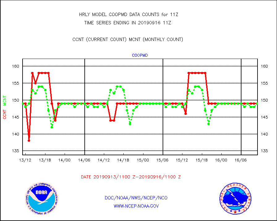
coopmd |
Coop/MADIS NEPP & HCN-Modernization NOAA COOP Obs |
149 |
149 |
100.0 % |
1610.50-1611.49 |
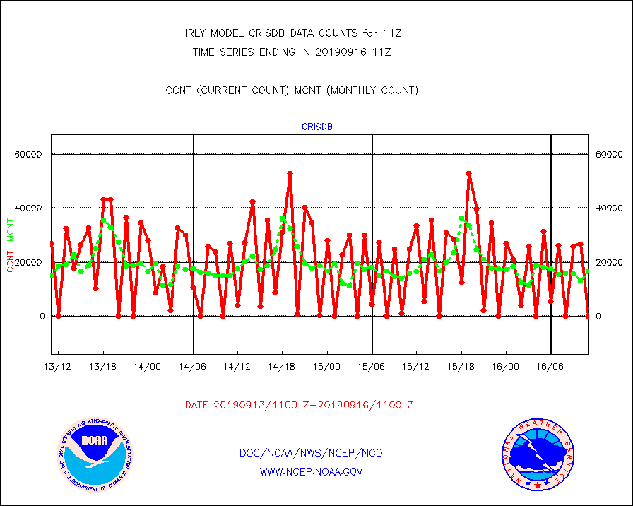
crisdb |
NPP Crss-trk IR Sndr(CrIS) radiance-dir bcst SSEC |
0 |
16706 |
0.0 % |
1609.50-1610.49 |
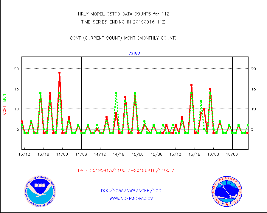
cstgd |
Coast Guard |
4 |
6 |
66.7 % |
1610.50-1611.50 |
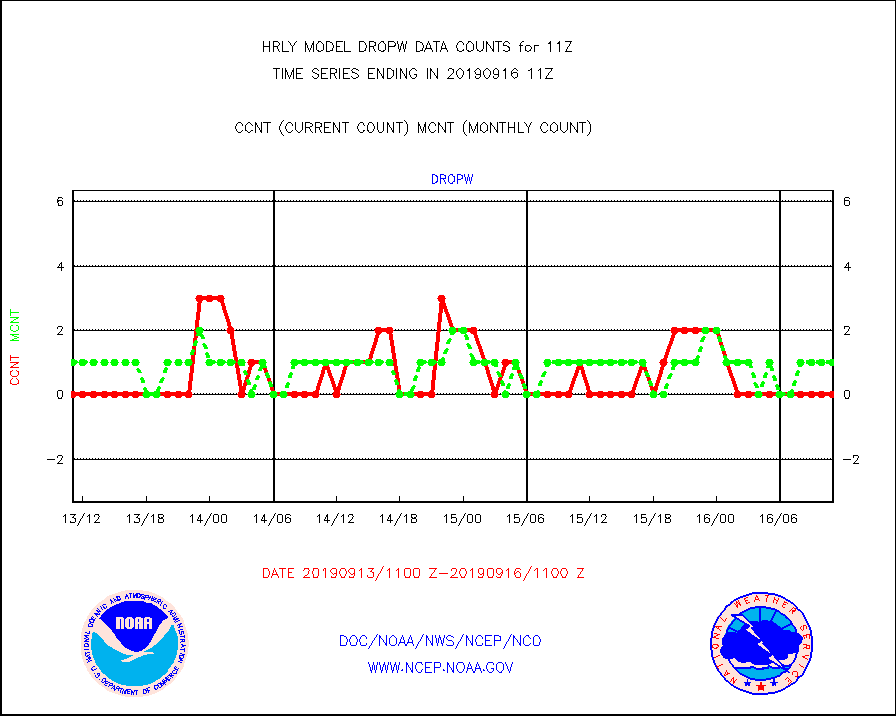
dropw |
Dropwinsonde (from TEMP DROP) |
0 |
1 |
0.0 % |
1610.50-1611.49 |
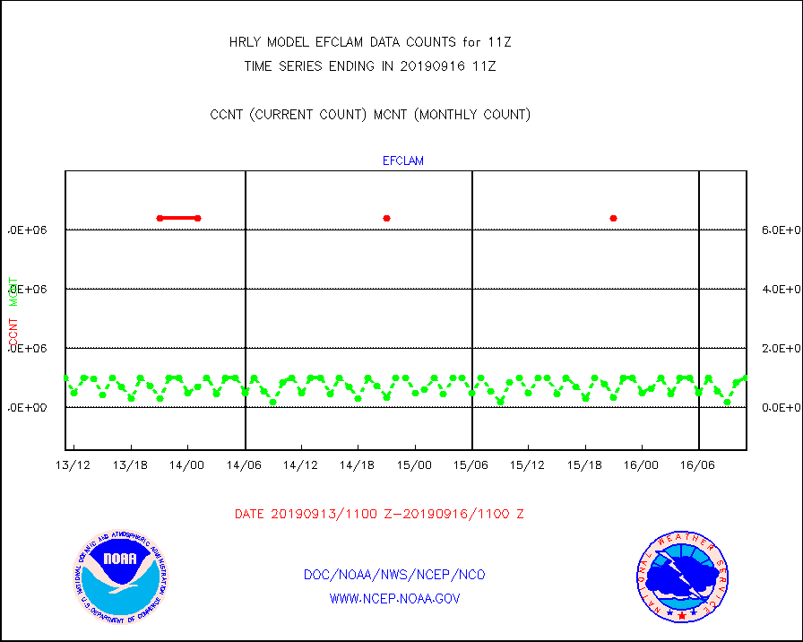
efclam |
GOES imager effective cloud amount data (U.Wisc.) |
9999999 |
9999999 |
100.0 % |
1610.50-1611.49 |
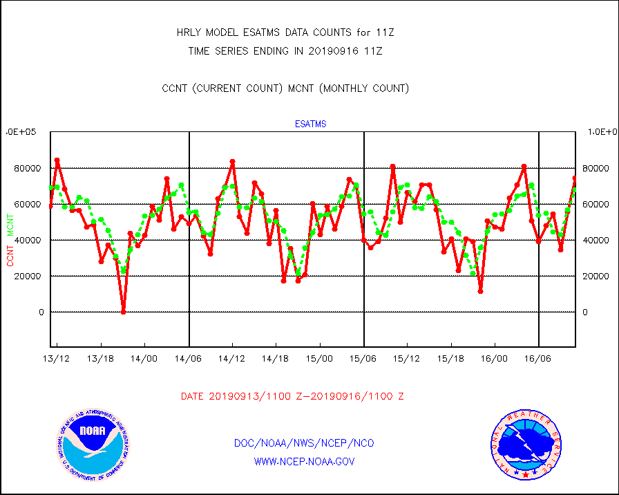
esatms |
NPP Adv. Tech. MW Sndr (ATMS) br. temps from RARS |
74474 |
67884 |
109.7 % |
1609.50-1610.49 |
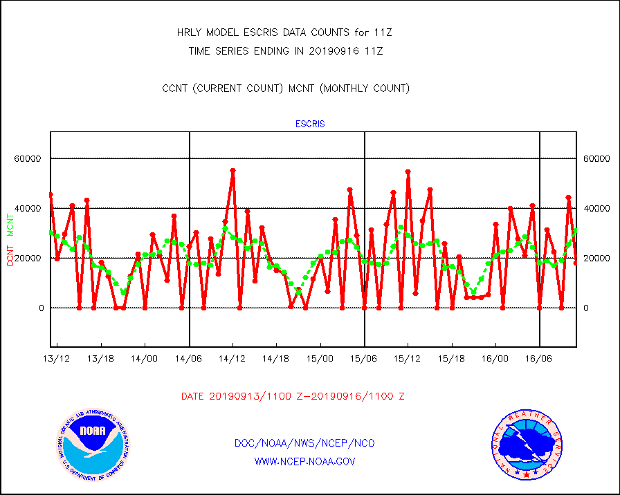
escris |
NPP Crss-track IR Sndr (CrIS) radiances from RARS |
18009 |
31183 |
57.8 % |
1609.50-1610.49 |
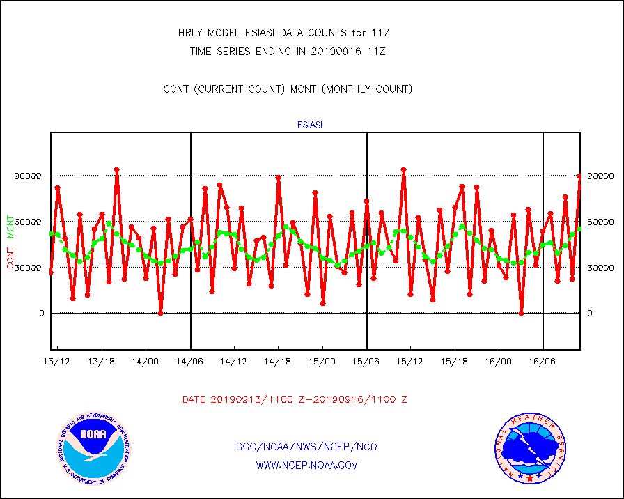
esiasi |
METOP 1-2 IASI 1C radiance data vbl chn from RARS |
89978 |
55403 |
162.4 % |
1610.00-1610.99 |
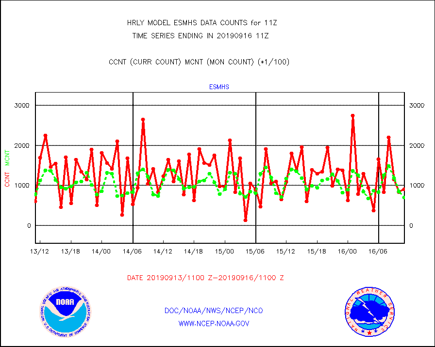
esmhs |
NOAA 18-19 & METOP 1-2 MHS proc. btemps from RARS |
90803 |
70107 |
129.5 % |
1610.50-1611.49 |
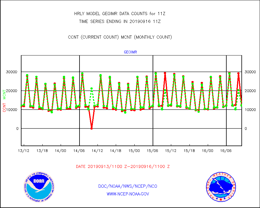
geoimr |
GOES/NESDIS (11x17 f-o-v) imager clear radiances |
12437 |
12097 |
102.8 % |
1610.00-1610.99 |
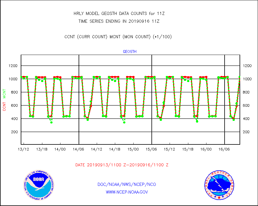
geosth |
GOES/NESDIS hi-resol. (1x1 f-o-v) cloud data |
102596 |
102879 |
99.7 % |
1610.00-1610.99 |
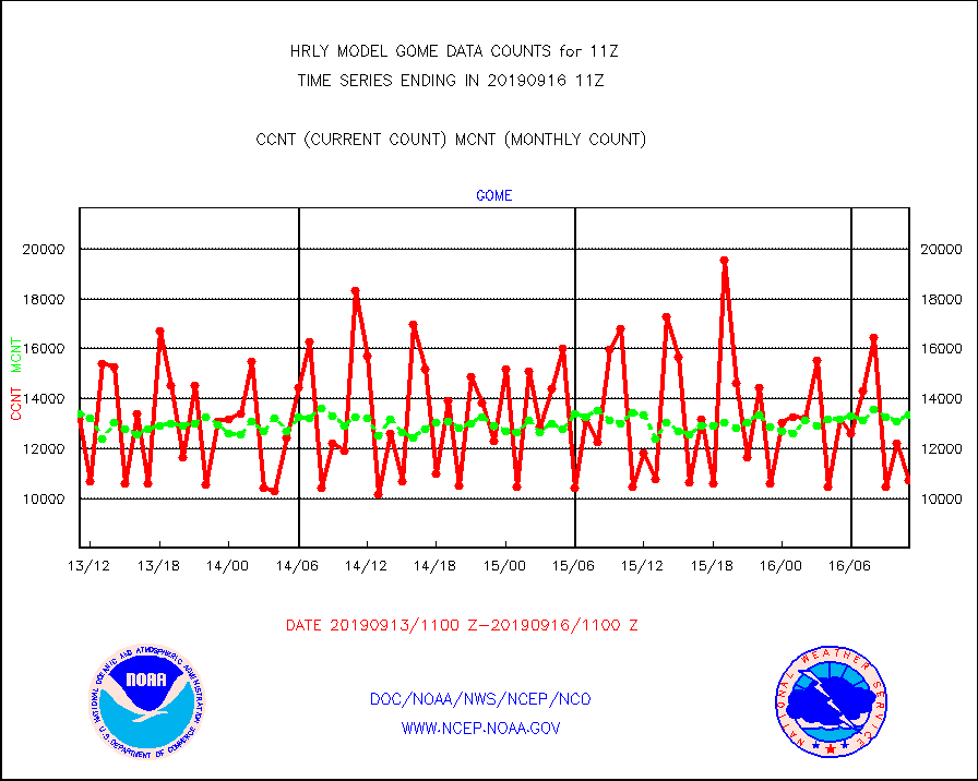
gome |
METOP 1-2 Global Ozone Monitoring Exp.-2 (GOME-2) |
10768 |
13352 |
80.6 % |
1609.50-1610.49 |
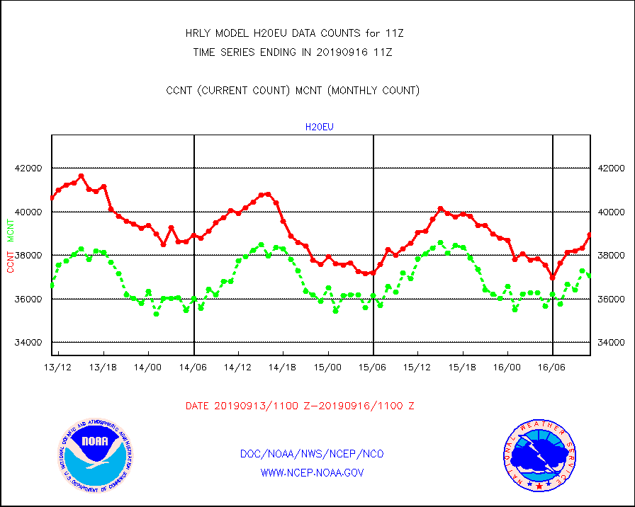
h20eu |
METEOSAT/EUMETSAT wvpr imager derived cld motion |
38935 |
37056 |
105.1 % |
1609.50-1610.49 |
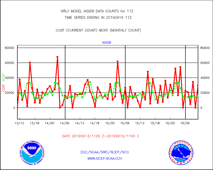
iasidb |
METOP 1-2 IASI 1C radiances-direct broadcast SSEC |
29961 |
16304 |
183.8 % |
1609.50-1610.49 |
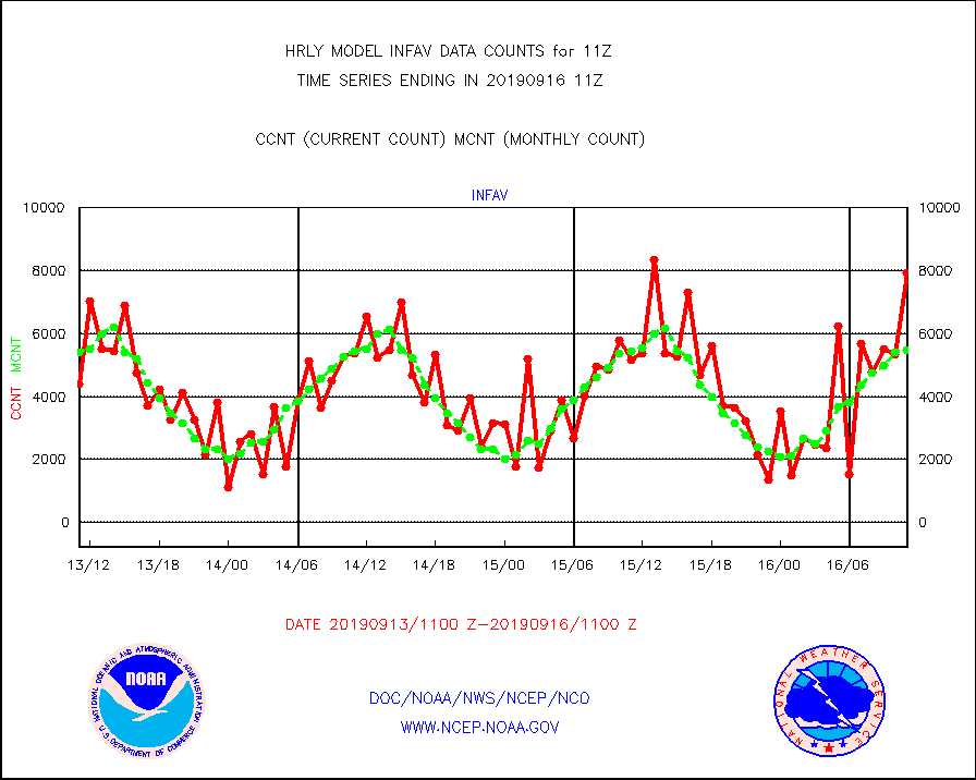
infav |
AVHRR (NOAA/METOP) ir lg-wave derived cld motion |
7931 |
5491 |
144.4 % |
1607.00-1607.99 |
infin |
INSAT/KALPANA India ir lg-wave derived cld motion |
0 |
0 |
n/a |
1608.50-1609.49 |
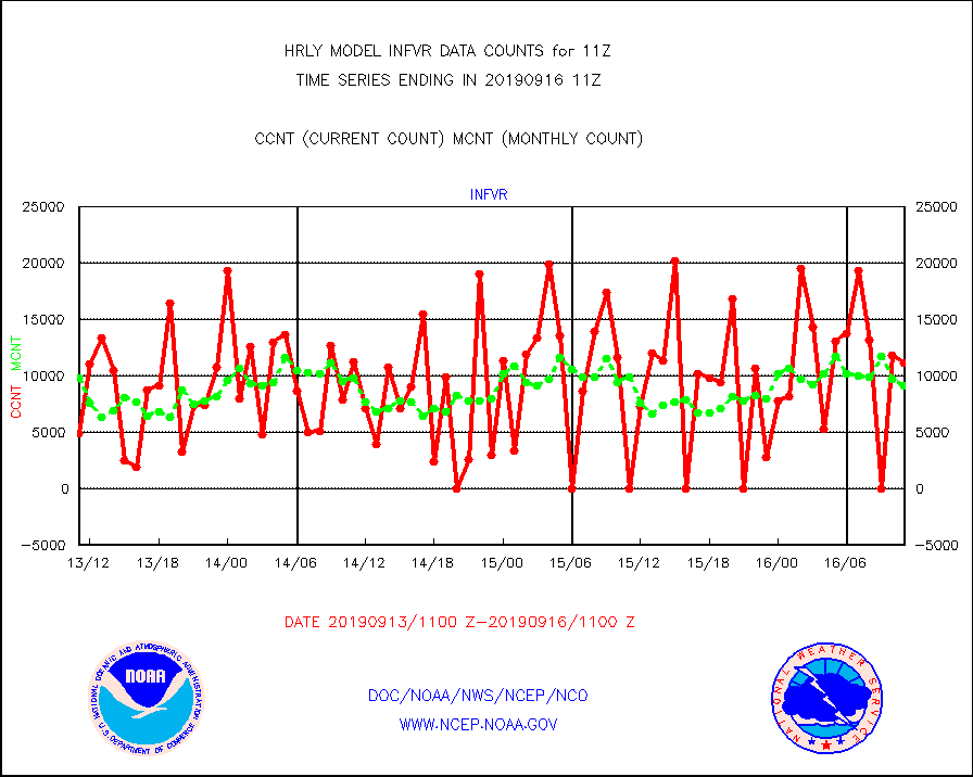
infvr |
VIIRS (NPP) infrared lg-wave derived cloud motion |
11177 |
9112 |
122.7 % |
1607.00-1607.99 |
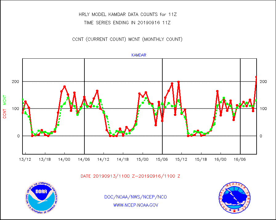
kamdar |
Korean AMDAR aircraft data (decoded from BUFR) |
217 |
131 |
165.6 % |
1610.50-1611.49 |
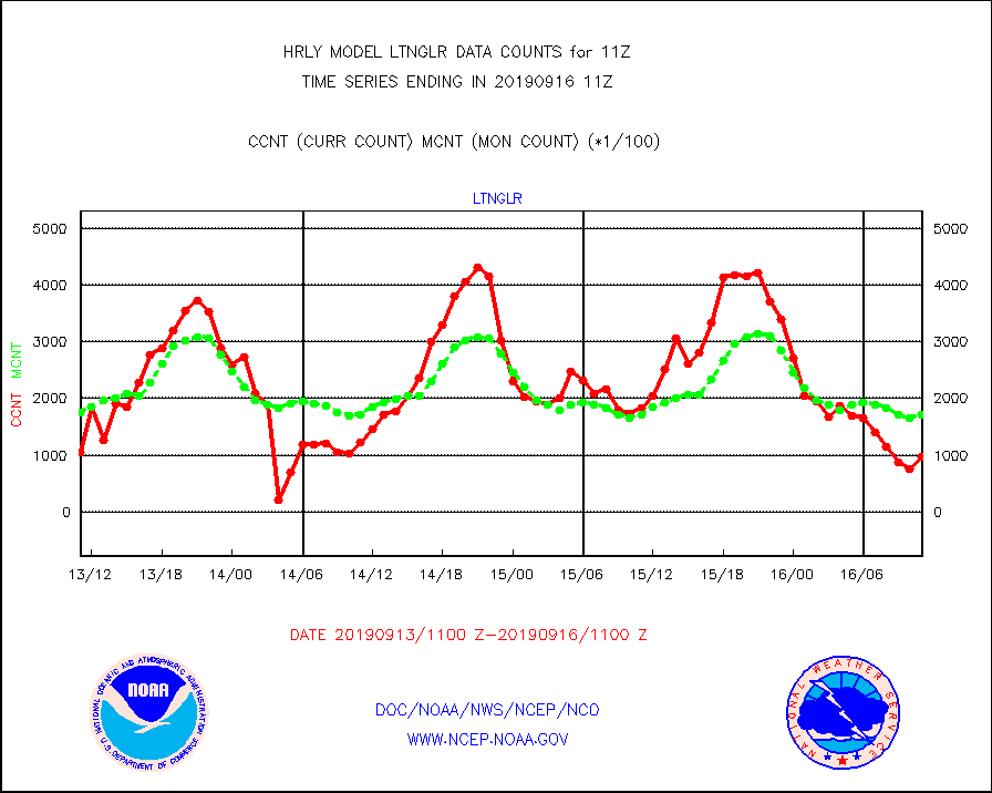
ltnglr |
LLDN Long-rng lightning from Vaisala via NOAAPORT |
97217 |
170426 |
57.0 % |
1610.50-1611.49 |
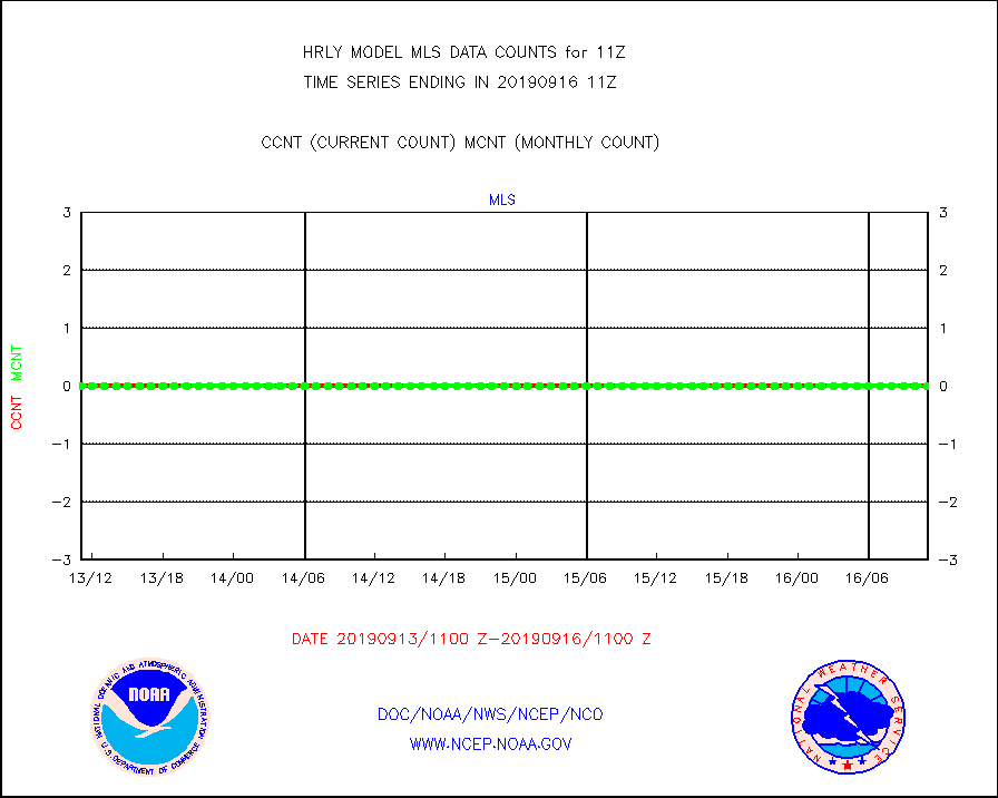
mls |
Aura Microwave Limb Sounder (MLS) ozone data |
0 |
0 |
n/a |
1609.00-1609.99 |
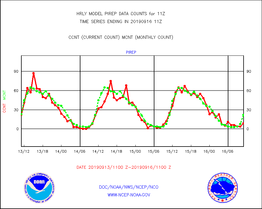
pirep |
Manual PIREP aircraft data (dcded from AIREP fmt) |
9 |
22 |
40.9 % |
1610.50-1611.49 |
prflrj |
Japanese Meteorological Agency profiler winds |
0 |
0 |
n/a |
1610.50-1611.49 |
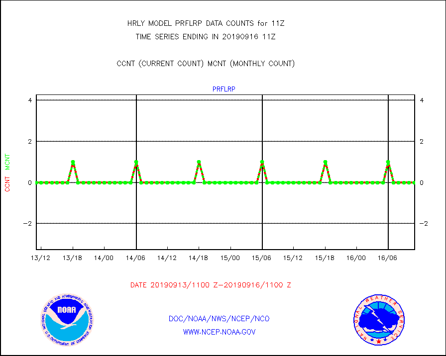
prflrp |
Profilr winds from PIBAL (PILOT,PILOT SHIP/MOBIL) |
0 |
0 |
n/a |
1610.50-1611.49 |
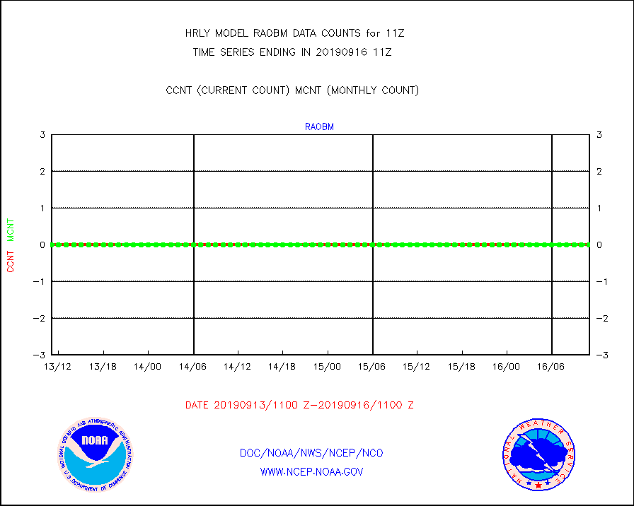
raobm |
Rawinsonde - mobile land (from TEMP/PILOT MOBIL) |
0 |
0 |
n/a |
1610.50-1611.49 |
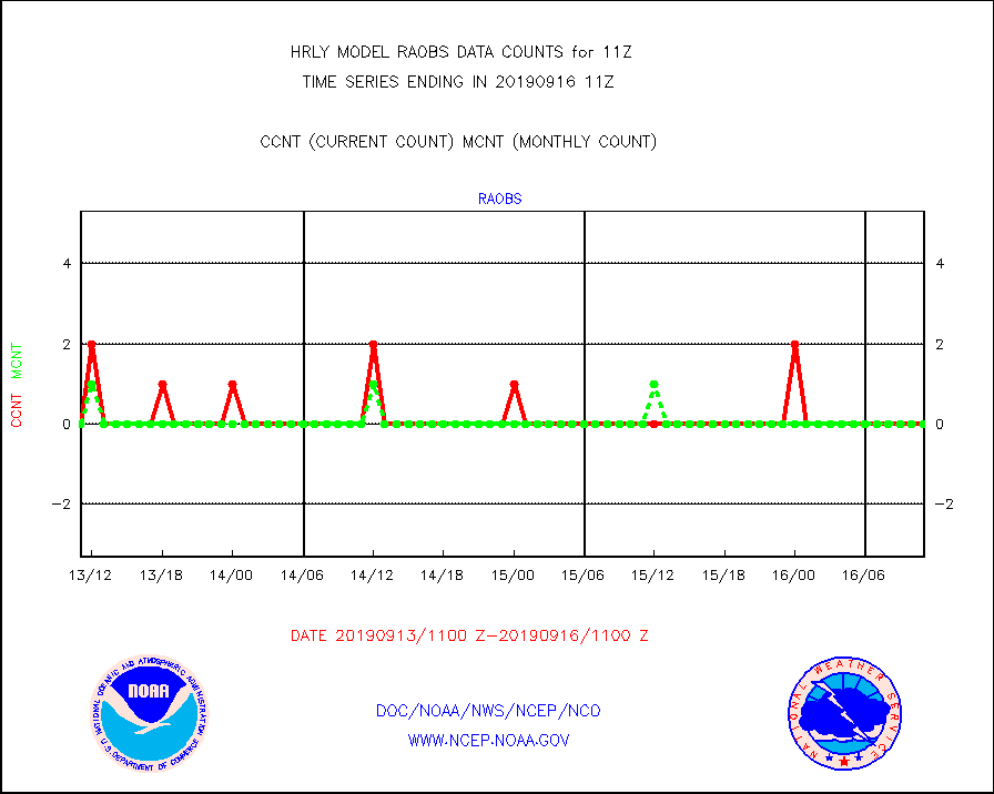
raobs |
Rawinsonde - ship (from TEMP SHIP, PILOT SHIP) |
0 |
0 |
n/a |
1610.50-1611.49 |
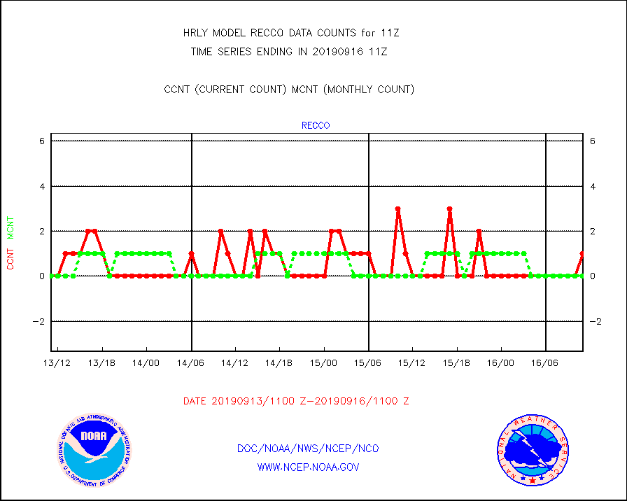
recco |
Flight level reconnaissance aircraft data |
1 |
0 |
n/a |
1610.50-1611.49 |
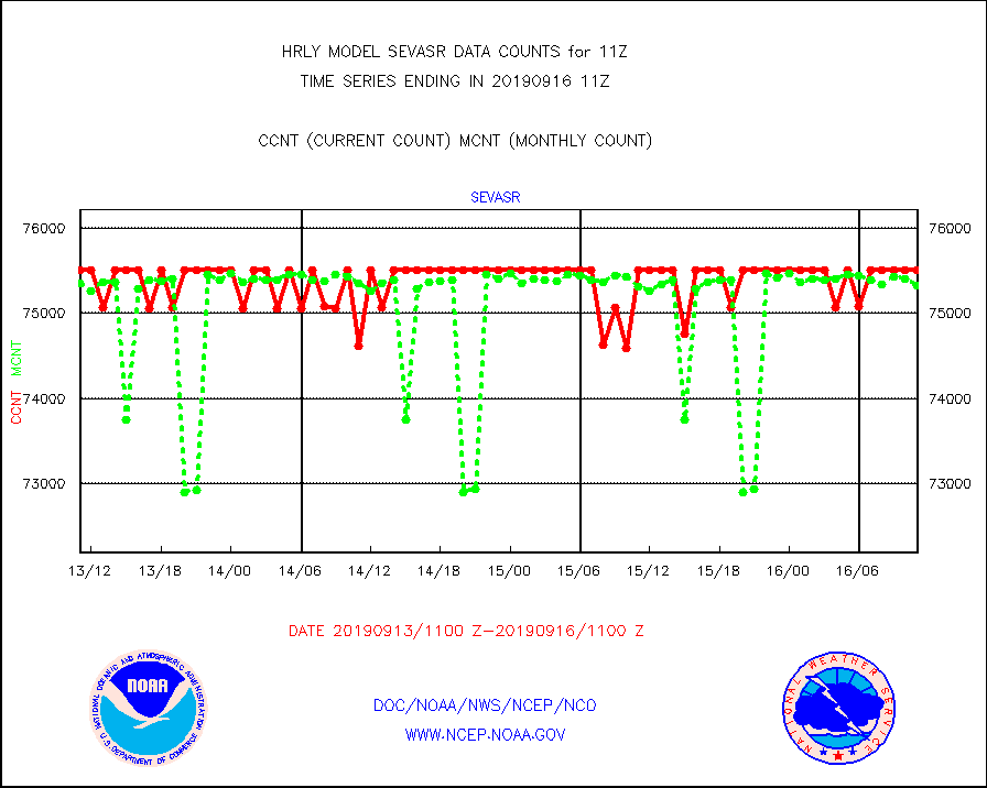
sevasr |
METEOSAT-10 2nd Gen SEVIRI All Sky Radiance(proc) |
75512 |
75335 |
100.2 % |
1610.50-1611.49 |
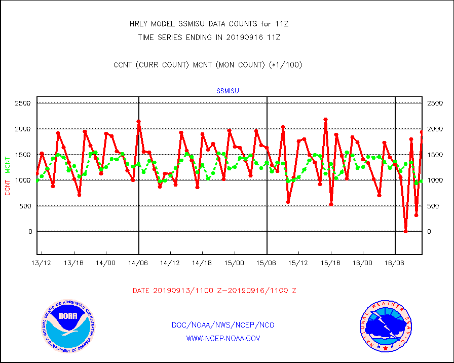
ssmisu |
DMSP SSM/IS 1C radiance data (Unified Pre-Proc.) |
193560 |
98658 |
196.2 % |
1609.50-1610.49 |
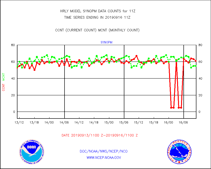
synopm |
Synoptic - mobile manual and automatic |
61 |
55 |
110.9 % |
1610.50-1611.49 |
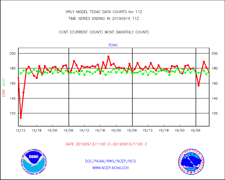
tesac |
TESAC |
175 |
177 |
98.9 % |
1610.50-1611.49 |
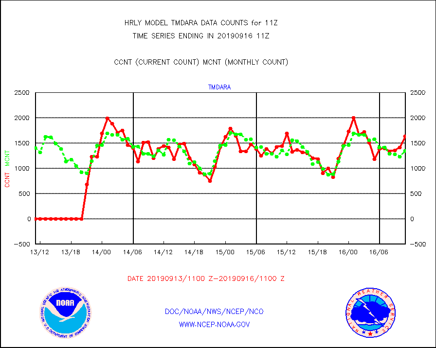
tmdara |
TAMDAR aircft data-all types(from Panasonic,BUFR) |
1640 |
1344 |
122.0 % |
1610.50-1611.49 |
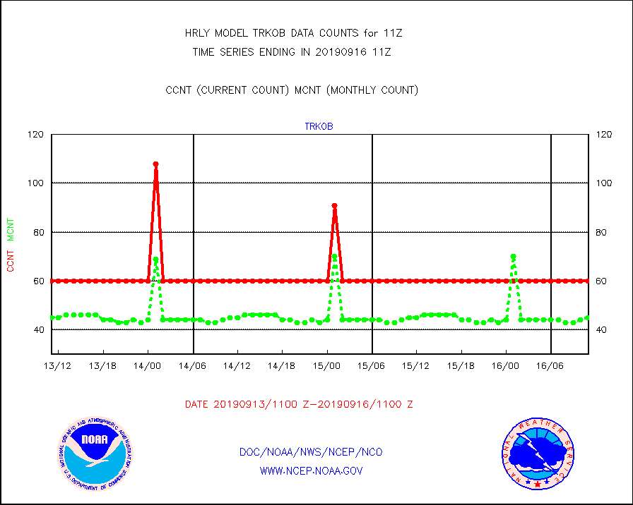
trkob |
TRACKOB |
60 |
45 |
133.3 % |
1609.50-1610.49 |
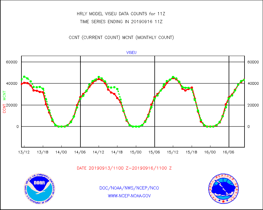
viseu |
METEOSAT/EUMETSAT visible derived cloud motion |
43566 |
43493 |
100.2 % |
1609.50-1610.49 |
visin |
INSAT/KALPANA India visible derived cloud motion |
0 |
0 |
n/a |
1608.50-1609.49 |
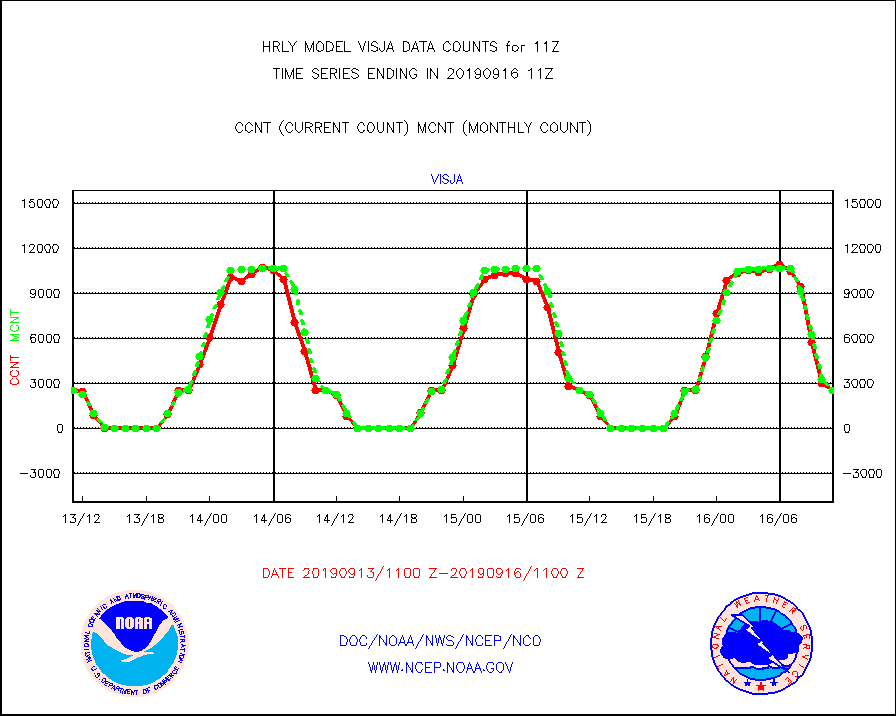
visja |
MTSAT/JMA visible derived cloud motion |
2520 |
2522 |
99.9 % |
1608.50-1609.49 |
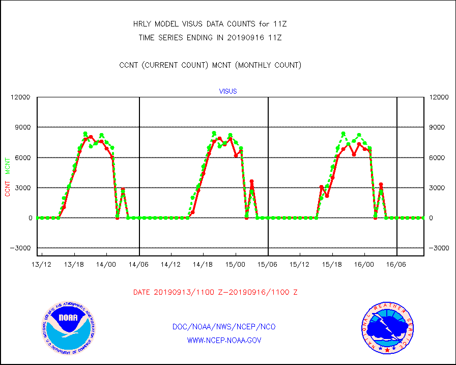
visus |
GOES/NESDIS visible derived cloud motion |
0 |
0 |
n/a |
1610.00-1610.99 |


