| Critical Data with Normal Counts |
|---|
| Type | Description | Hourly Count | Monthly Average | Percent (%) of Monthly Mean | UTC Time Window |
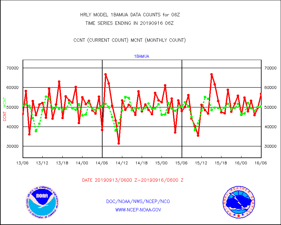
1bamua |
NOAA 15-19 & METOP 1-2 AMSU-A NCEP-proc. br.temps |
56933 |
50377 |
113.0 % |
1604.00-1604.99 |
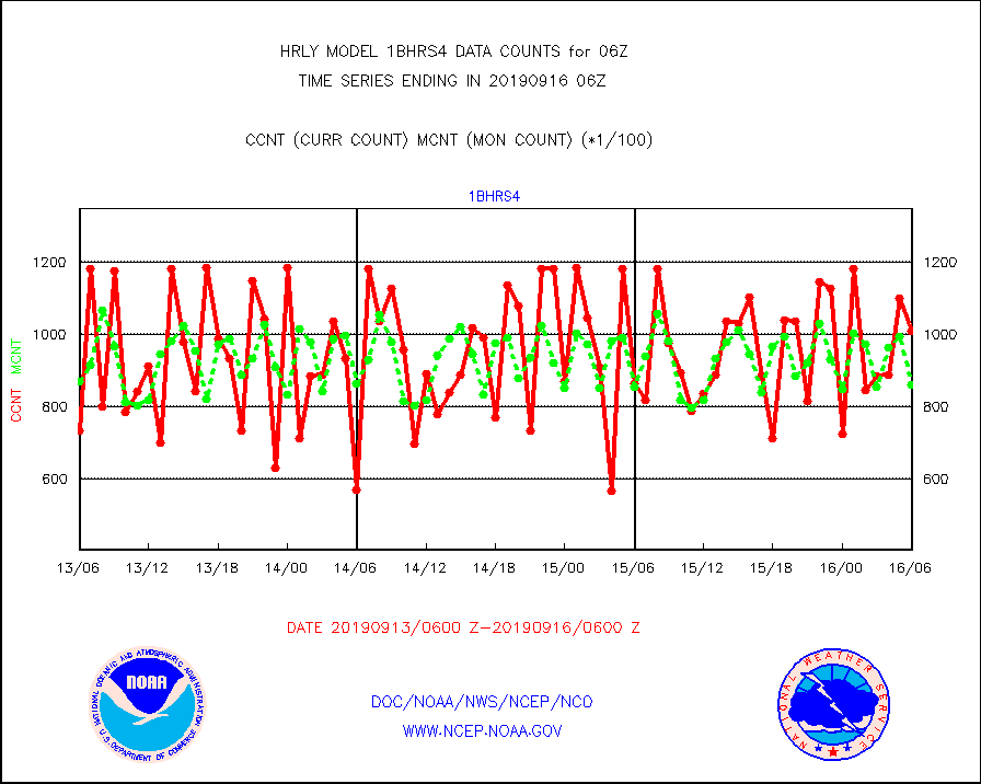
1bhrs4 |
NOAA 18-19 & METOP 1-2 HIRS-4 NCEP-proc. br.temps |
100979 |
86046 |
117.4 % |
1604.00-1604.99 |
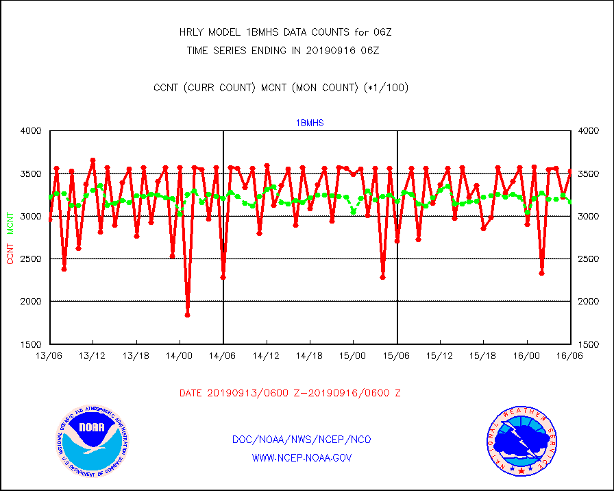
1bmhs |
NOAA 18-19 & METOP 1-2 MHS NCEP-proces. br. temps |
352990 |
316861 |
111.4 % |
1604.00-1604.99 |
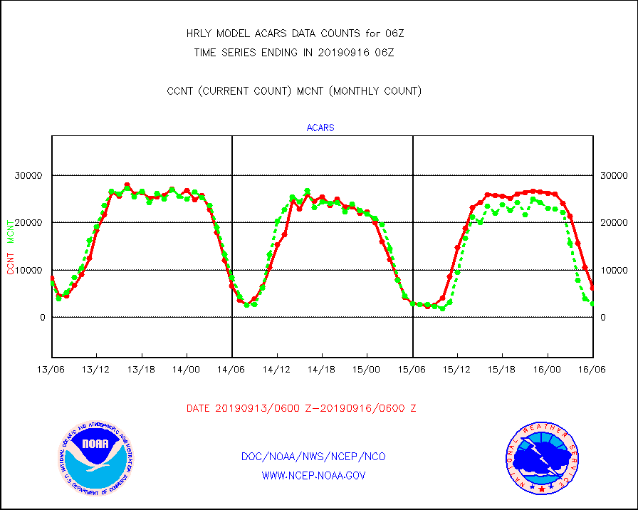
acars |
MDCRS ACARS acft data from ARINC(dcded from BUFR) |
6181 |
2825 |
218.8 % |
1605.50-1606.49 |
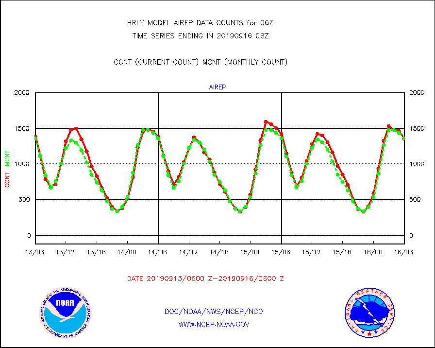
airep |
Manual AIREP aircraft data (dcded from AIREP fmt) |
1355 |
1361 |
99.6 % |
1605.50-1606.49 |
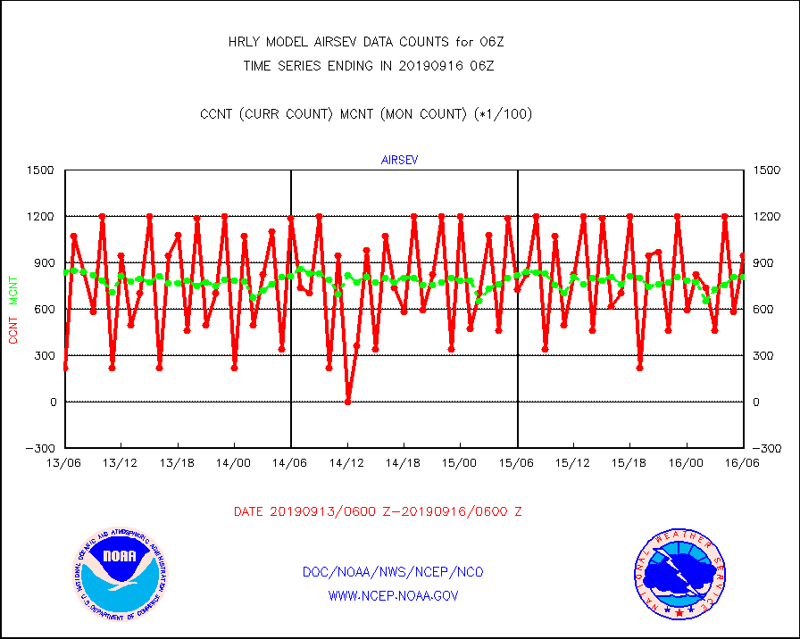
airsev |
AQUA AIRS/AMSU-A/HSB brightness temps- every FOV |
94989 |
80646 |
117.8 % |
1603.50-1604.49 |
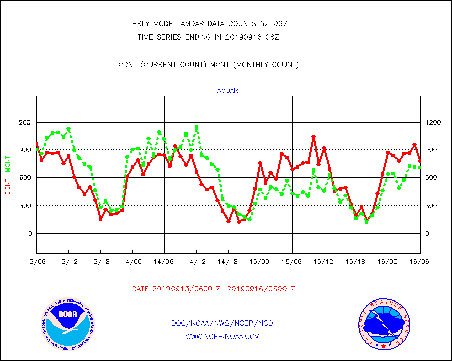
amdar |
AMDAR aircraft data (decoded from AMDAR format) |
779 |
708 |
110.0 % |
1605.50-1606.49 |
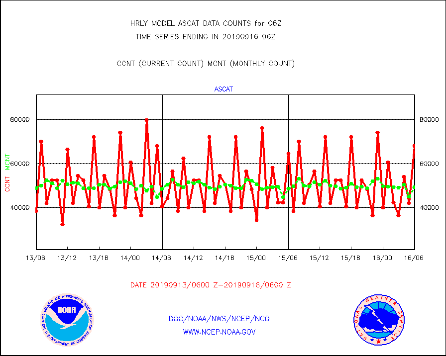
ascat |
METOP 1-2 ASCAT products |
68166 |
49363 |
138.1 % |
1604.50-1605.49 |
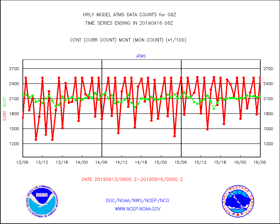
atms |
NPP Adv. Tech. Microwave Sounder (ATMS) br. temps |
252096 |
214842 |
117.3 % |
1604.50-1605.49 |
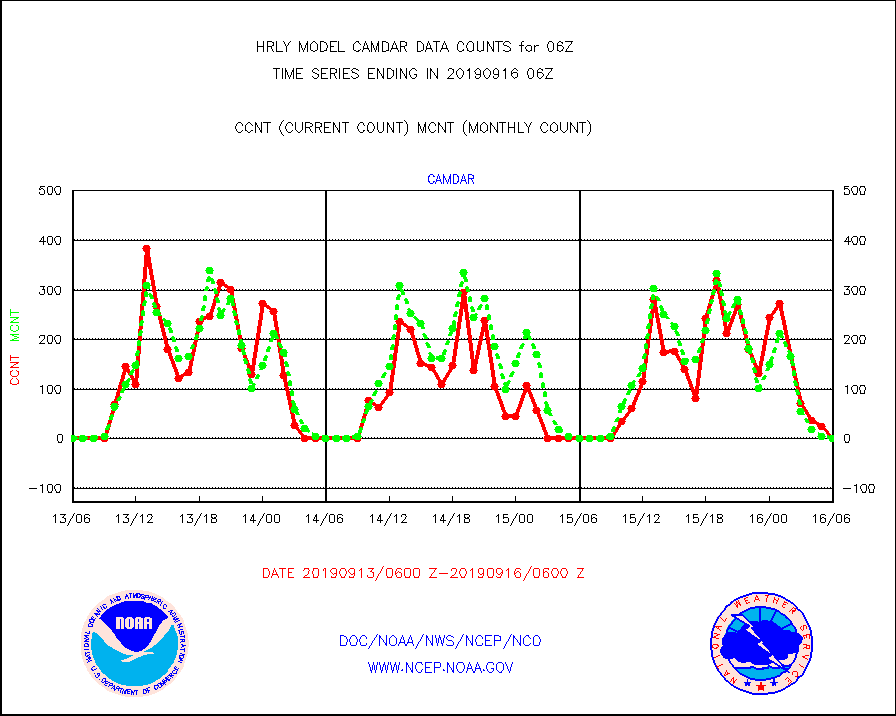
camdar |
Canadian AMDAR aircraft data (decoded from BUFR) |
0 |
1 |
0.0 % |
1605.50-1606.49 |
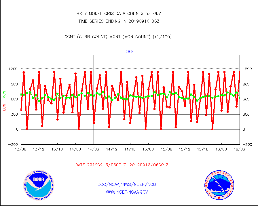
cris |
NPP Cross-track Infrared Sounder (CrIS) radiances |
113850 |
62150 |
183.2 % |
1604.50-1605.49 |
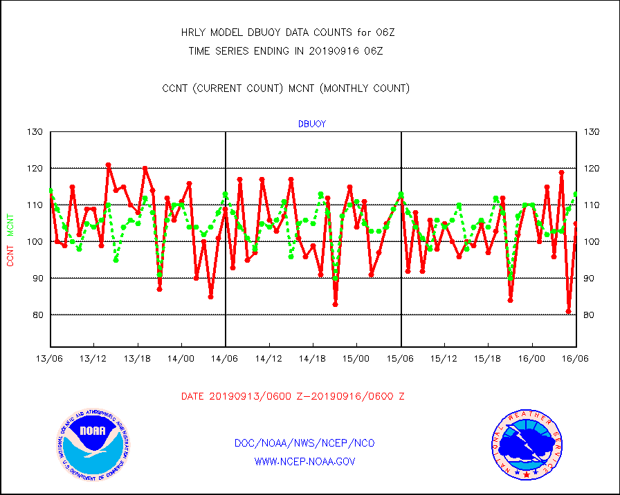
dbuoy |
Buoys decoded from FM-18 fmt (moored or drifting) |
105 |
113 |
92.9 % |
1605.50-1606.49 |
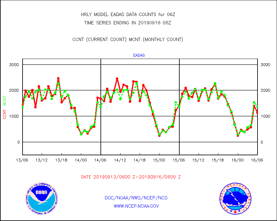
eadas |
E-AMDAR (European AMDAR acft decoded from BUFR) |
1133 |
1373 |
82.5 % |
1605.50-1606.49 |
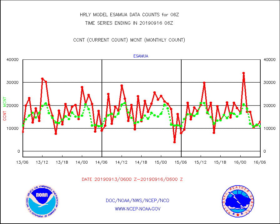
esamua |
NOAA 15-19 & METOP 1-2 AMSU-A proc btmps frm RARS |
12811 |
10863 |
117.9 % |
1605.50-1606.49 |
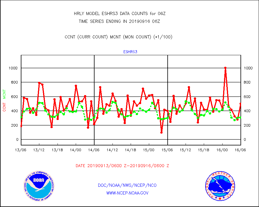
eshrs3 |
NOAA 15-19 & METOP 1-2 HIRS-3/4 pr btmps frm RARS |
50234 |
30613 |
164.1 % |
1605.50-1606.49 |
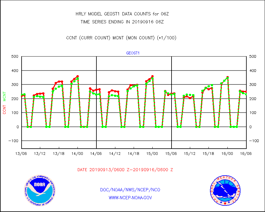
geost1 |
GOES/NESDIS hi-resol. (1x1 f-o-v) sndgs/radiances |
24977 |
23131 |
108.0 % |
1605.50-1606.49 |
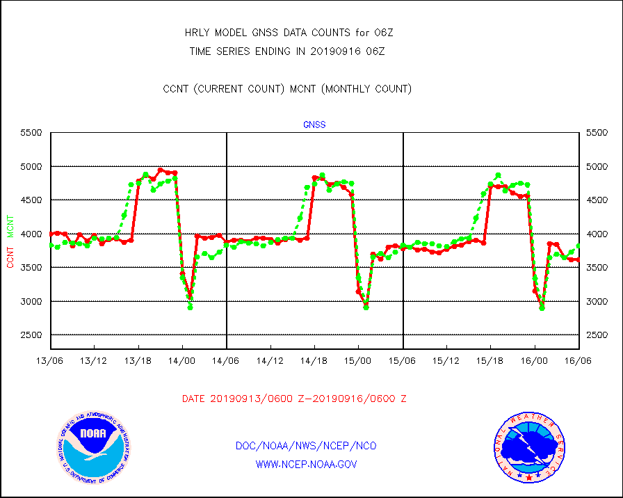
gnss |
Grnd-based Gbl Navigation Sat System (GNSS) data |
3616 |
3825 |
94.5 % |
1605.00-1605.99 |
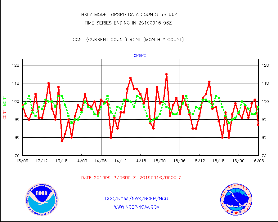
gpsro |
GPS radio occultation data |
87 |
97 |
89.7 % |
1603.50-1604.49 |
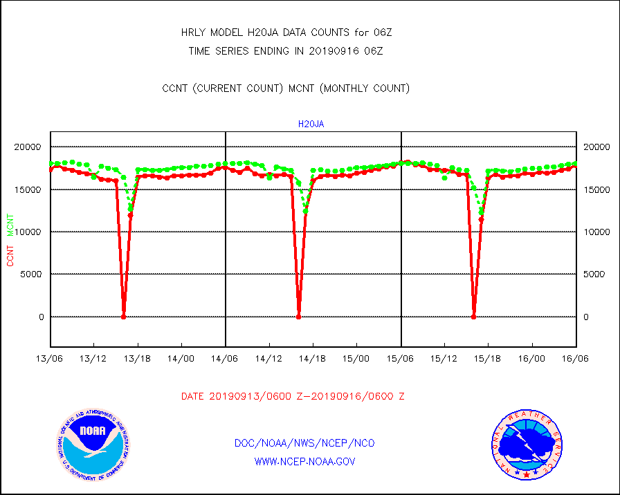
h20ja |
MTSAT/JMA water vapor imager derived cloud motion |
17864 |
18056 |
98.9 % |
1603.50-1604.49 |
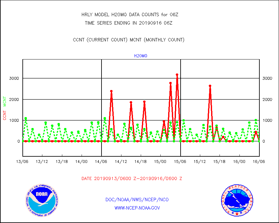
h20mo |
MODIS (AQUA/TERRA) wvpr imager derived cld motion |
0 |
0 |
n/a |
1602.00-1602.99 |
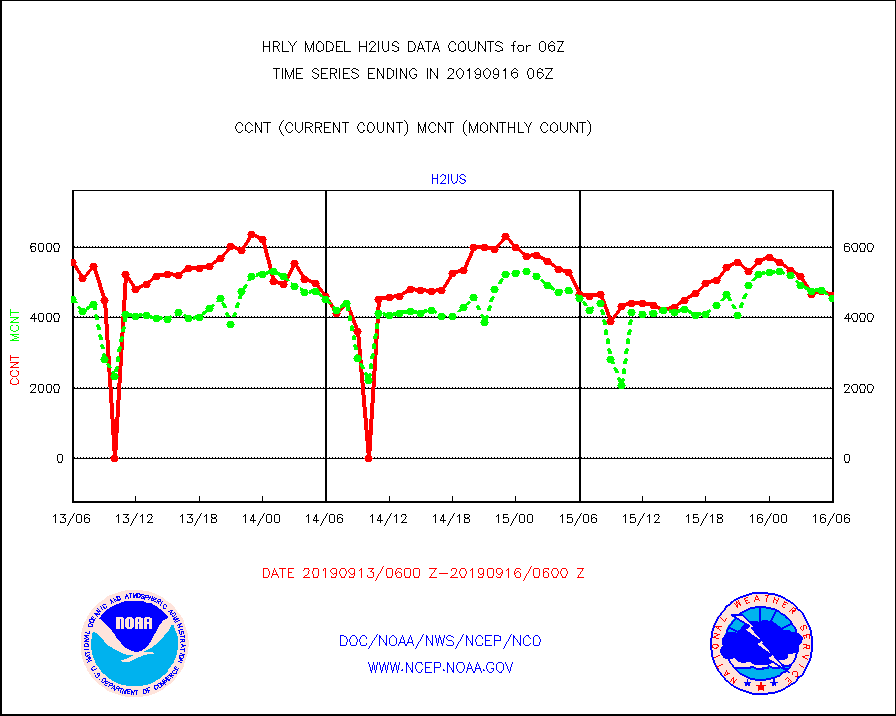
h2ius |
GOES/NESDIS water vapor imager derived cld motion |
4613 |
4543 |
101.5 % |
1605.00-1605.99 |
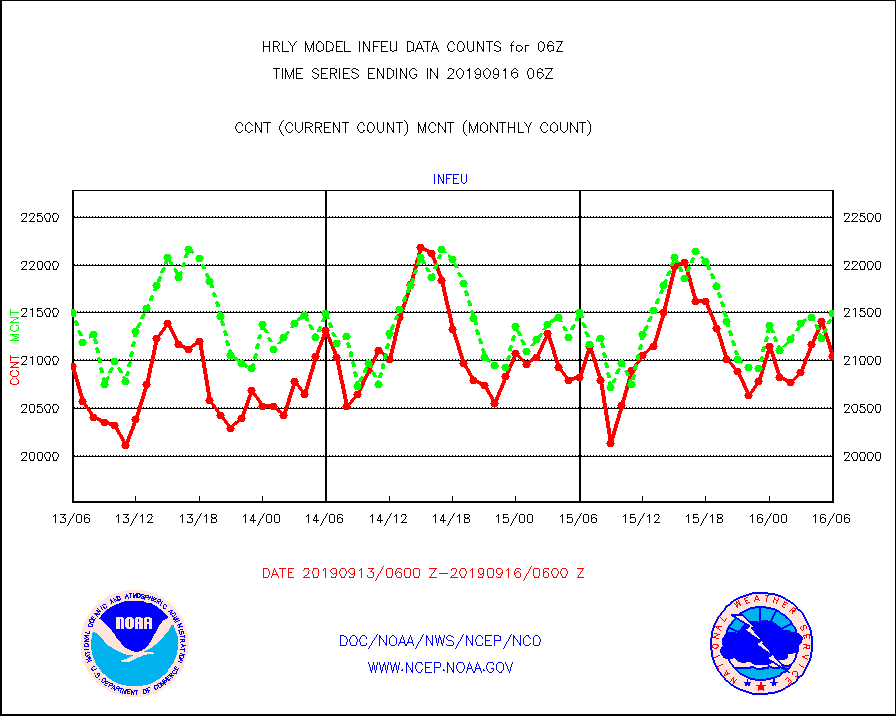
infeu |
METEOSAT/EUMETSAT ir lg-wave derived cloud motion |
21039 |
21489 |
97.9 % |
1604.50-1605.49 |
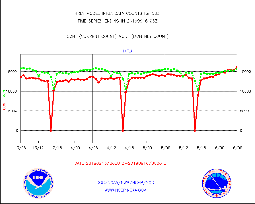
infja |
MTSAT/JMA infrared long-wave derived cloud motion |
16214 |
15530 |
104.4 % |
1603.50-1604.49 |
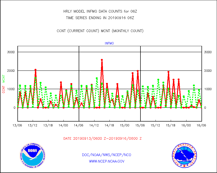
infmo |
MODIS (AQUA/TERRA) ir l-wave derived cloud motion |
0 |
36 |
0.0 % |
1602.00-1602.99 |
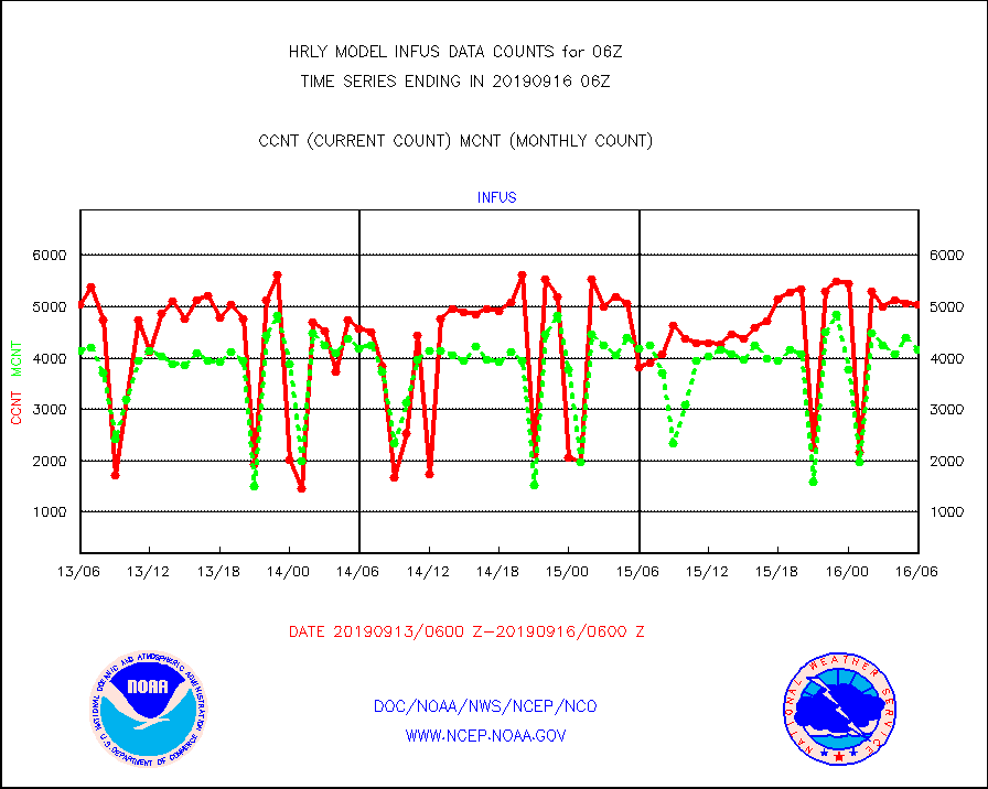
infus |
GOES/NESDIS infrared lg-wave derived cloud motion |
5032 |
4161 |
120.9 % |
1605.00-1605.99 |
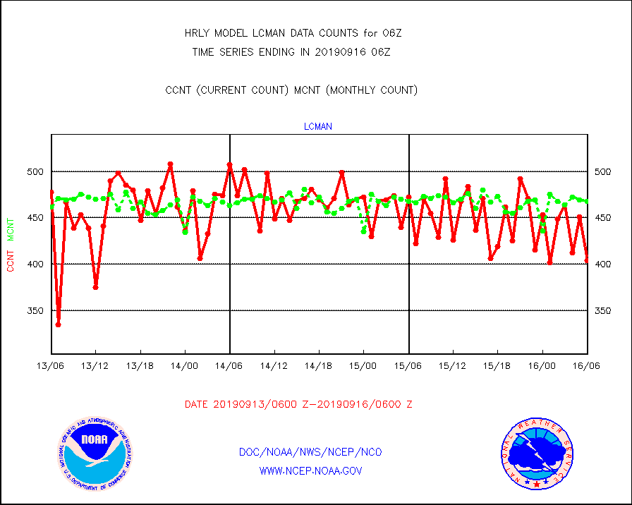
lcman |
Land-based CMAN stations decoded from CMAN format |
404 |
468 |
86.3 % |
1605.50-1606.49 |
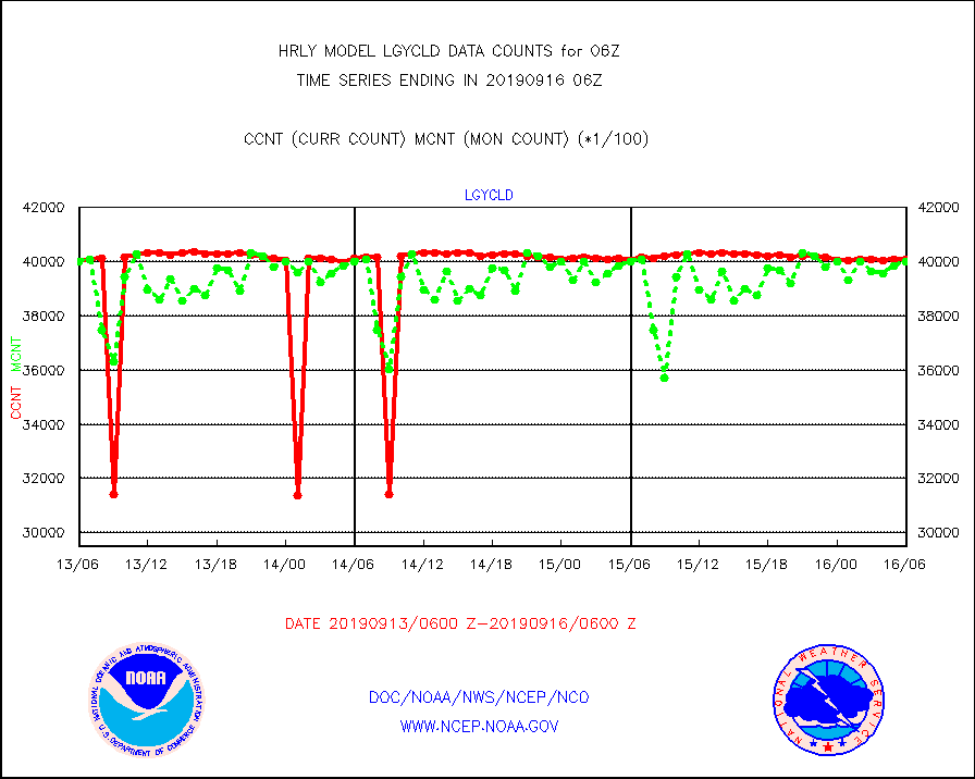
lgycld |
GOES/NASA(Langley) hi-res. (1x1 f-o-v) cloud data |
4010133 |
4001331 |
100.2 % |
1605.50-1606.49 |
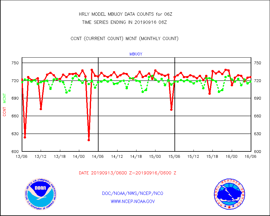
mbuoy |
Buoys decoded from FM-13 format (moored) |
726 |
718 |
101.1 % |
1605.50-1606.49 |
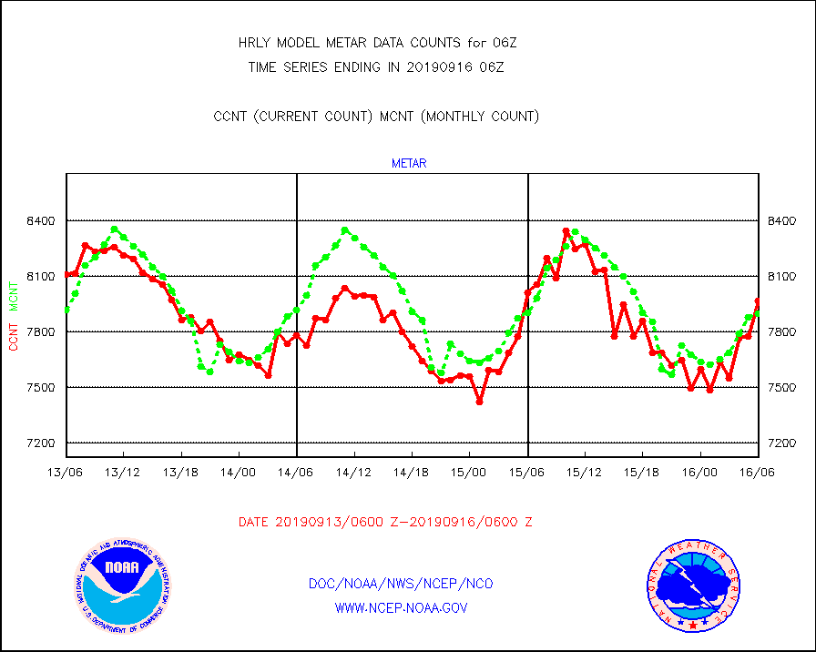
metar |
Aviation - METAR |
7968 |
7898 |
100.9 % |
1605.50-1606.49 |
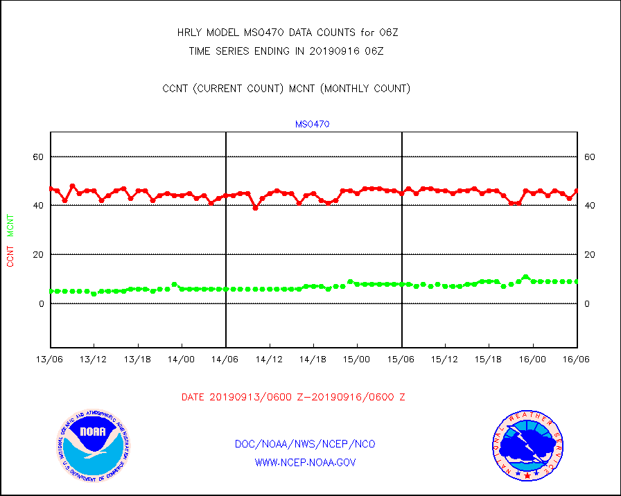
mso470 |
Mesonet/MADIS Colorado E-470 (Interstate 470) |
46 |
9 |
511.1 % |
1605.50-1606.49 |
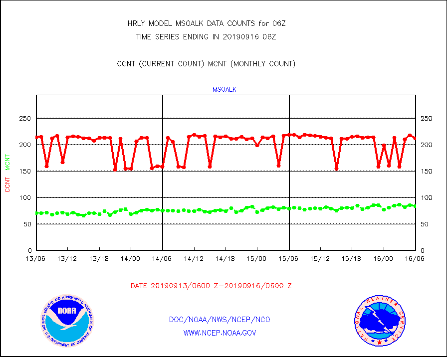
msoalk |
Mesonet/MADIS Alaska Department of Transportation |
212 |
84 |
252.4 % |
1605.50-1606.49 |
msoapg |
Mesonet/MADIS U.S. Army Aberdeen Proving Grounds |
0 |
0 |
n/a |
1605.50-1606.49 |
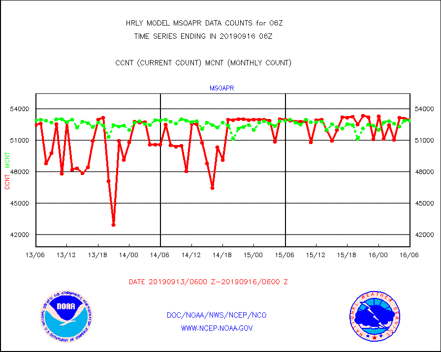
msoapr |
Mesonet/MADIS Citizen Weather Observers Program |
52907 |
52879 |
100.1 % |
1605.50-1606.49 |
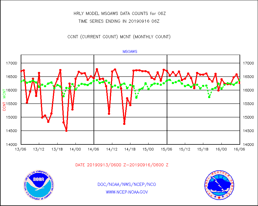
msoaws |
Mesonet/MADIS AWS Convergence Technologies, Inc. |
16261 |
16367 |
99.4 % |
1605.50-1606.49 |
msoawx |
Mesonet/MADIS "Anything Weather" |
0 |
0 |
n/a |
1605.50-1606.49 |
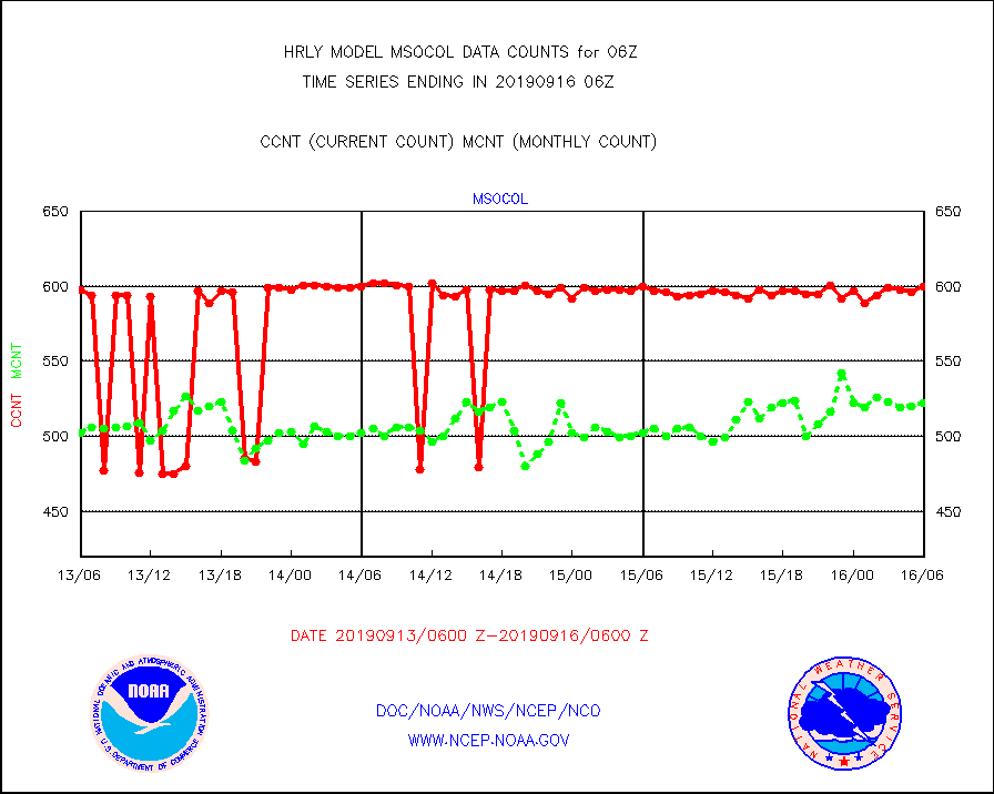
msocol |
Mesonet/MADIS Colorado Dept. of Transportation |
600 |
522 |
114.9 % |
1605.50-1606.49 |
msodcn |
Mesonet/MADIS DC Net |
0 |
0 |
n/a |
1605.50-1606.49 |
msoden |
Mesonet/MADIS Denver Urban Drainage & Flood Cntrl |
0 |
0 |
n/a |
1605.50-1606.49 |
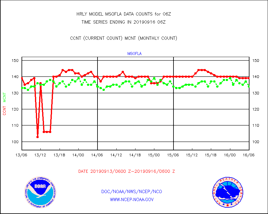
msofla |
Mesonet/MADIS Florida (FAWN & USF) |
139 |
134 |
103.7 % |
1605.50-1606.49 |
msoflt |
Mesonet/MADIS Florida Dept. of Transportation |
0 |
0 |
n/a |
1605.50-1606.49 |
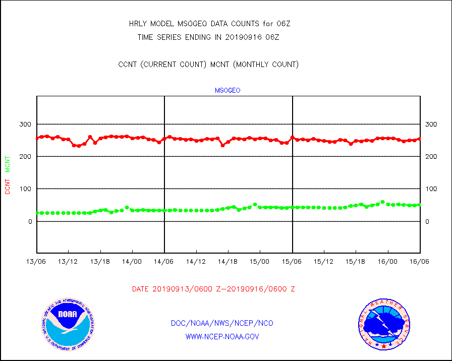
msogeo |
Mesonet/MADIS Georgia Dept. of Transportation |
255 |
51 |
500.0 % |
1605.50-1606.49 |
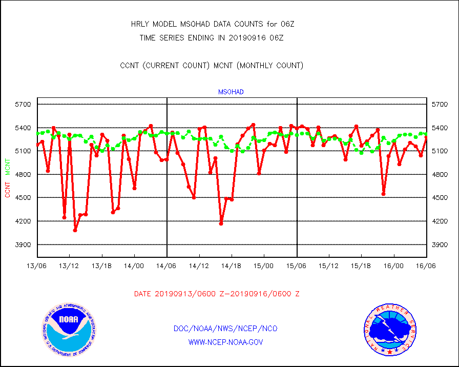
msohad |
Mesonet/MADIS NWS Hydromet Auto Data System(HADS) |
5277 |
5319 |
99.2 % |
1605.50-1606.49 |
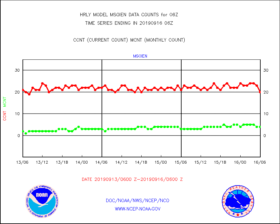
msoien |
Mesonet/MADIS Iowa Environmental |
20 |
4 |
500.0 % |
1605.50-1606.49 |
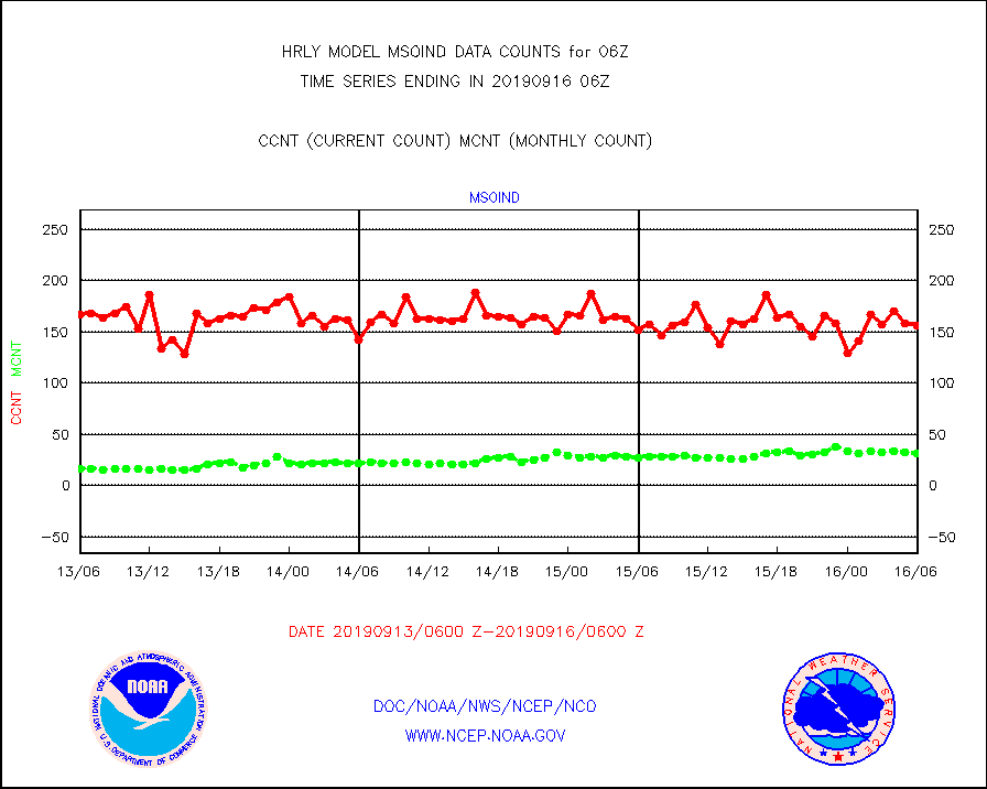
msoind |
Mesonet/MADIS Indiana Dept. of Transportation |
156 |
32 |
487.5 % |
1605.50-1606.49 |
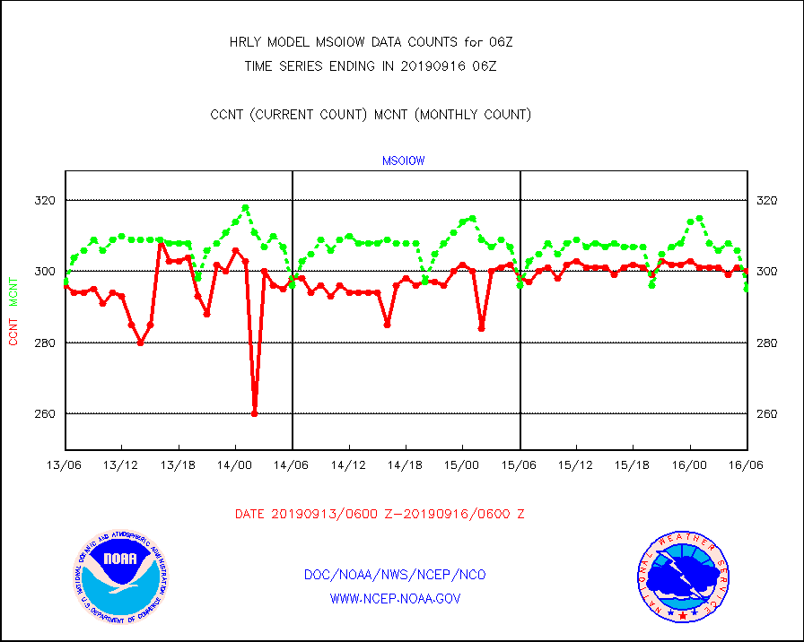
msoiow |
Mesonet/MADIS Iowa Department of Transportation |
300 |
295 |
101.7 % |
1605.50-1606.49 |
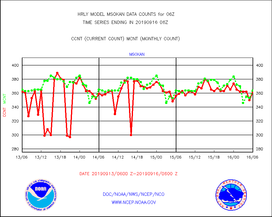
msokan |
Mesonet/MADIS Kansas Department of Transportation |
362 |
364 |
99.5 % |
1605.50-1606.49 |
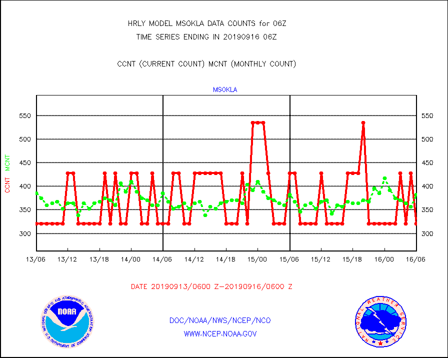
msokla |
Mesonet/MADIS Oklahoma Mesonet |
321 |
382 |
84.0 % |
1605.50-1606.49 |
msolju |
Mesonet/MADIS Louisiana State/Jackson State Univ. |
0 |
0 |
n/a |
1605.50-1606.49 |
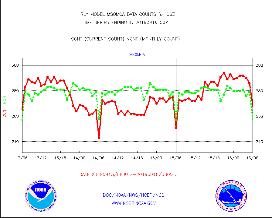
msomca |
Mesonet/MADIS Missouri Commercial Agricult Wx Net |
268 |
258 |
103.9 % |
1605.50-1606.49 |
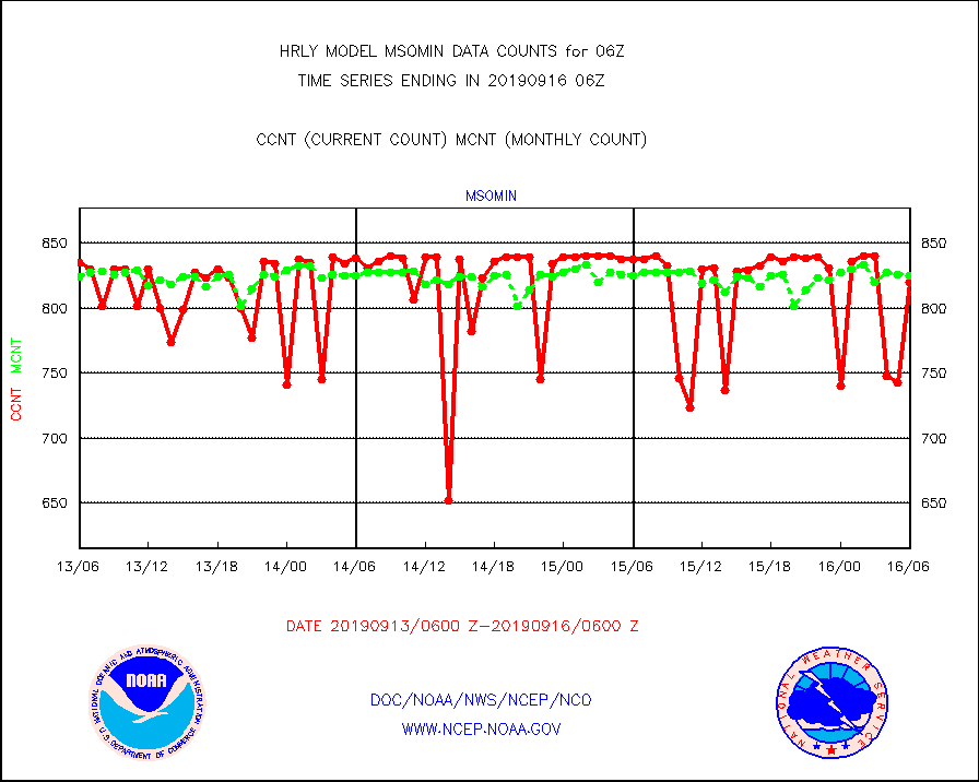
msomin |
Mesonet/MADIS Minnesota Dept. of Transportation |
820 |
825 |
99.4 % |
1605.50-1606.49 |
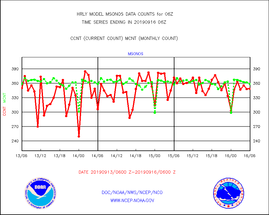
msonos |
Mesonet/MADIS NOS-Phys Oceanographic Realtime Sys |
349 |
359 |
97.2 % |
1605.50-1606.49 |
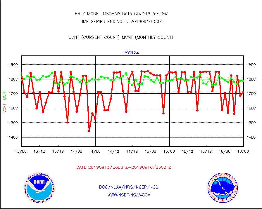
msoraw |
Mesonet/MADIS NFIC Remote Automated Wx Stns(RAWS) |
1710 |
1786 |
95.7 % |
1605.50-1606.49 |
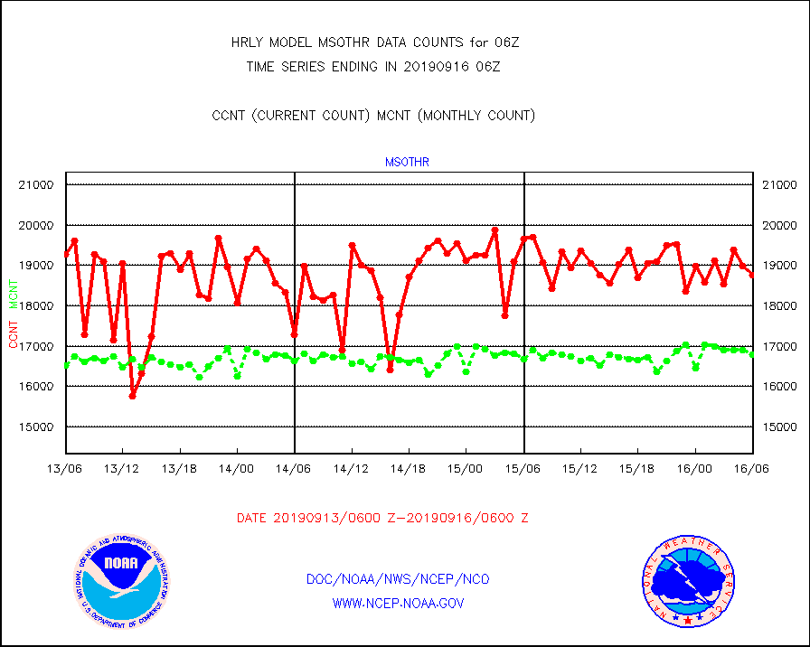
msothr |
Mesonet/MADIS many providers, not separated out |
18770 |
16796 |
111.8 % |
1605.50-1606.49 |
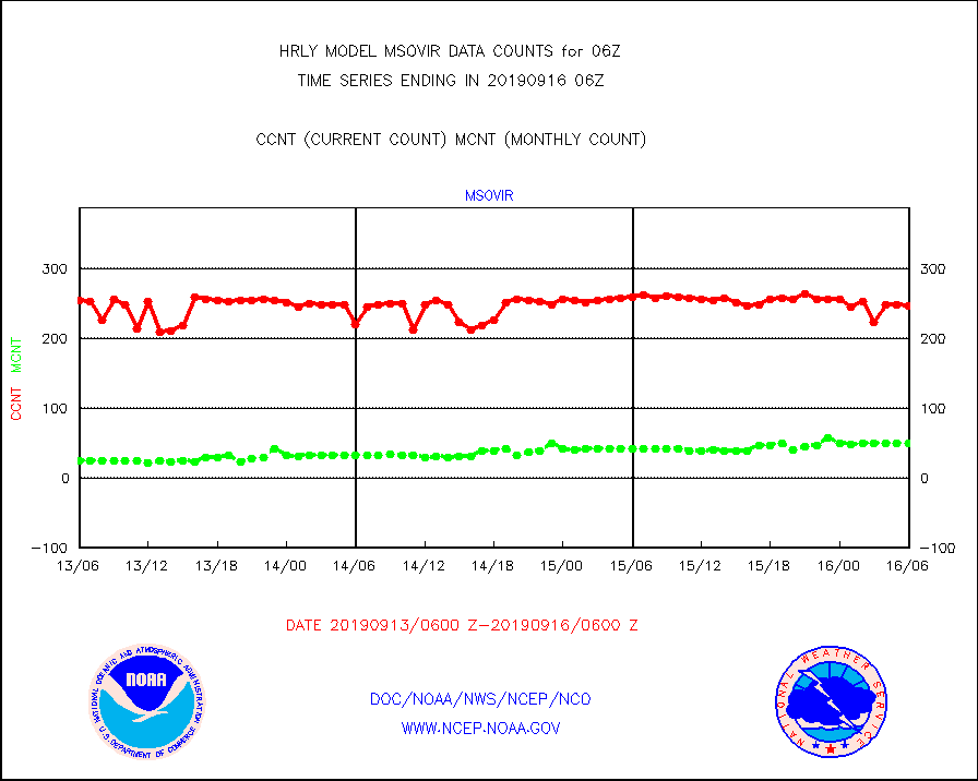
msovir |
Mesonet/MADIS Virginia Dept. of Transportation |
247 |
49 |
504.1 % |
1605.50-1606.49 |
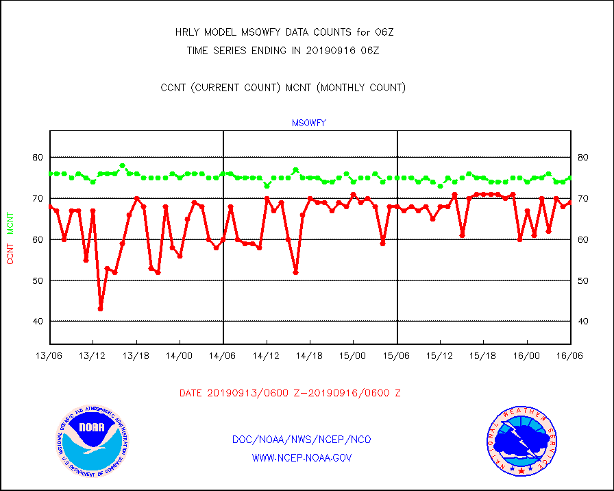
msowfy |
Mesonet/MADIS "Weather for You" |
69 |
75 |
92.0 % |
1605.50-1606.49 |
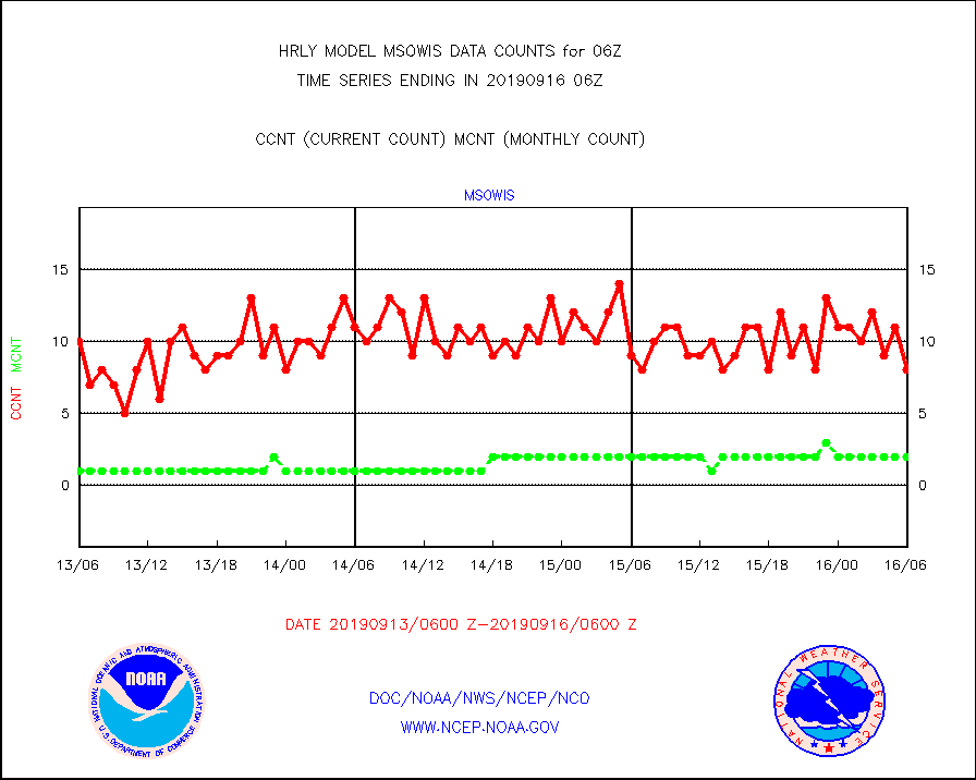
msowis |
Mesonet/MADIS Wisconsin Dept. of Transportation |
8 |
2 |
400.0 % |
1605.50-1606.49 |
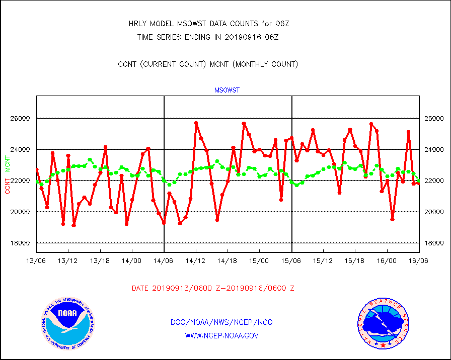
msowst |
Mesonet/MADIS MesoWest (many subproviders) |
21819 |
21982 |
99.3 % |
1605.50-1606.49 |
msowtx |
Mesonet/MADIS West Texas |
3624 |
1439 |
251.8 % |
1605.50-1606.49 |
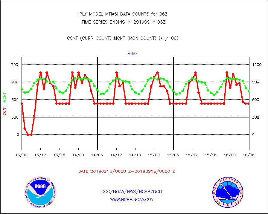
mtiasi |
METOP 1-2 IASI 1C radiance data (varbl. channels) |
53448 |
74152 |
72.1 % |
1604.00-1604.99 |
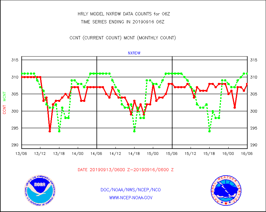
nxrdw |
NEXRAD Vel Azm Dsp(VAD) winds via radar coded msg |
308 |
311 |
99.0 % |
1605.50-1606.49 |
omi |
Aura Ozone Monitoring Instrument (OMI) data |
91800 |
42550 |
215.7 % |
1603.50-1604.49 |
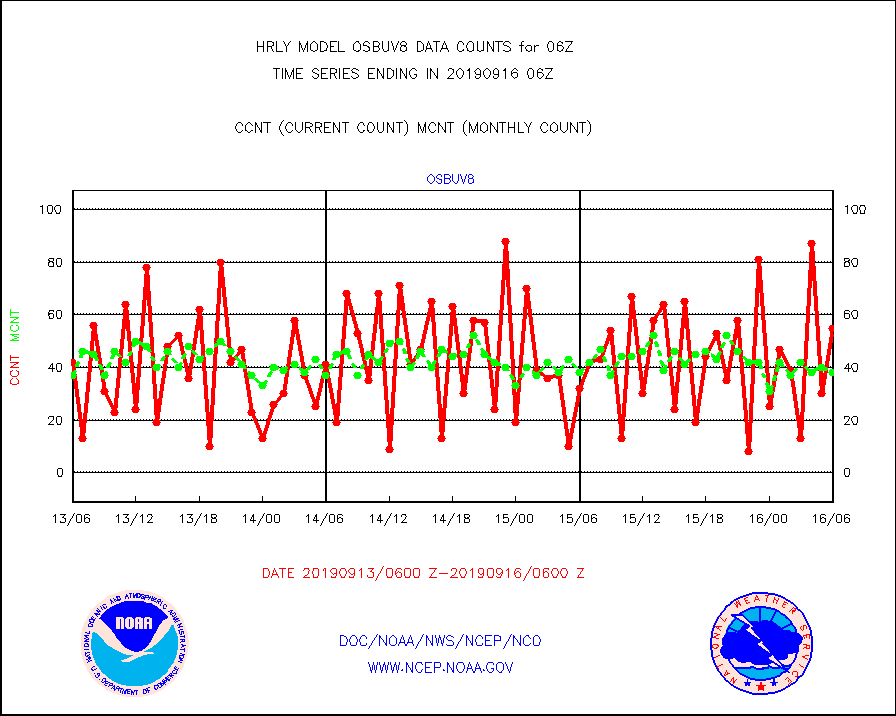
osbuv8 |
NOAA 16-19 Solar Backscatter UV-2 rad frm V8 BUFR |
55 |
38 |
144.7 % |
1604.00-1604.99 |
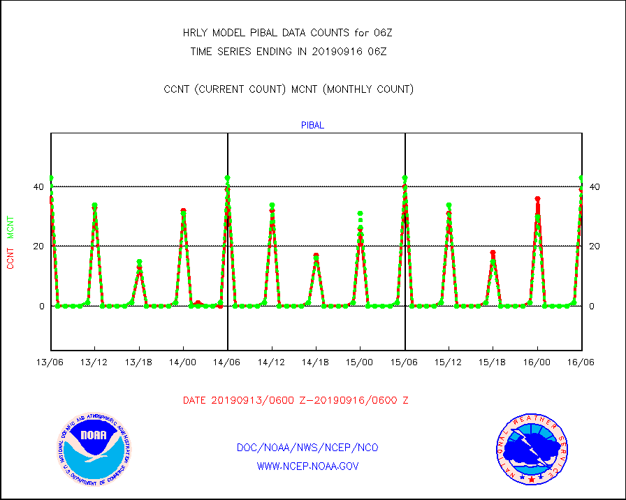
pibal |
PIBAL (from PILOT, PILOT SHIP, PILOT MOBIL) |
39 |
43 |
90.7 % |
1605.50-1606.49 |
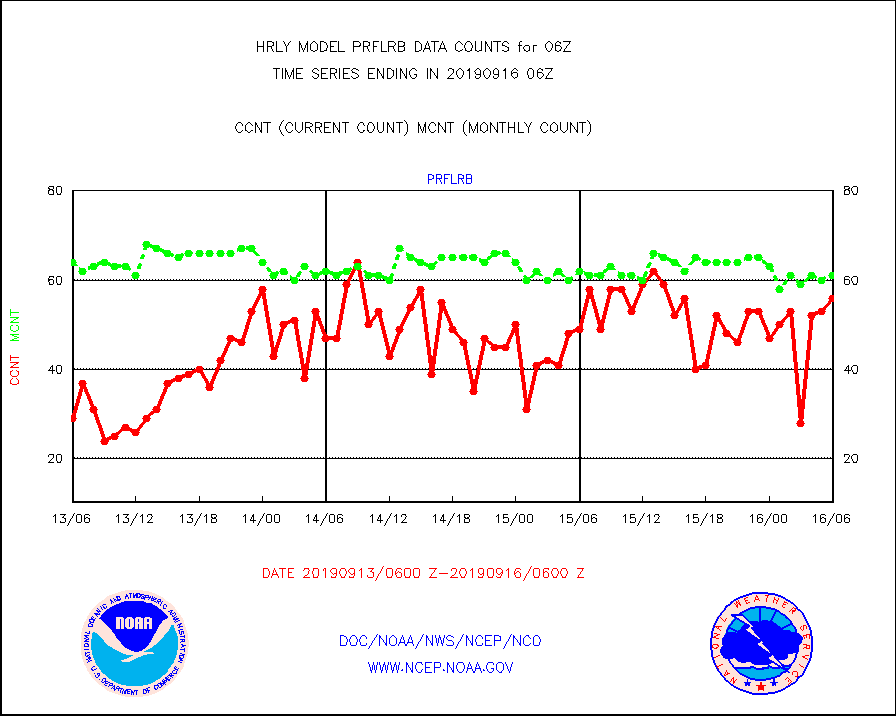
prflrb |
Multi-Agency Profiler (MAP) and SODAR winds |
56 |
61 |
91.8 % |
1605.50-1606.49 |
radw25 |
NEXRAD radial wind superobs (Level 2.5 - ORPG) |
0 |
0 |
n/a |
1604.50-1605.49 |
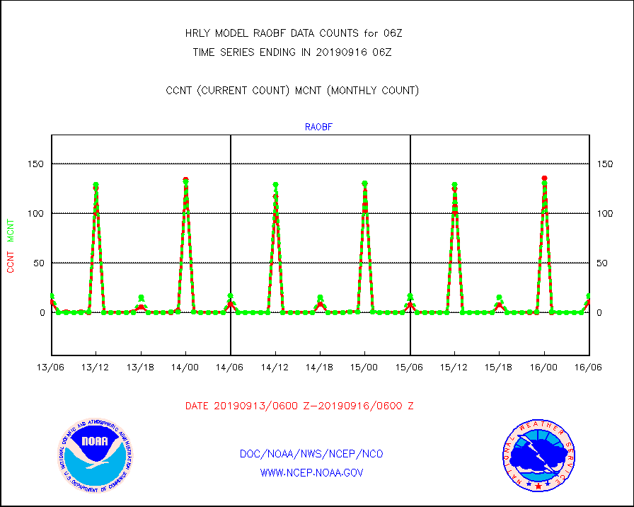
raobf |
Rawinsonde - fixed land (from TEMP or PILOT) |
11 |
17 |
64.7 % |
1605.50-1606.49 |
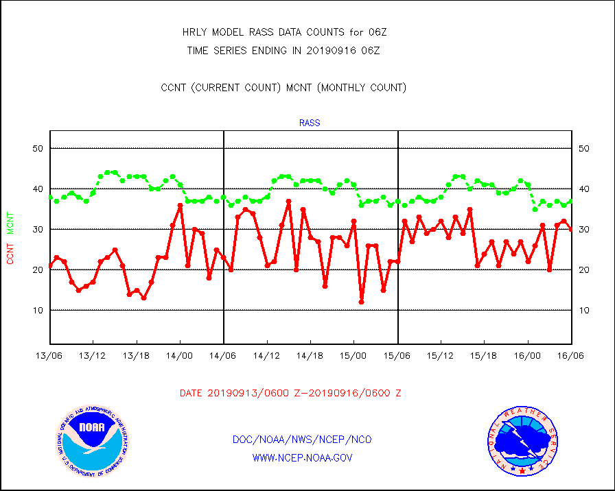
rass |
RASS temperatures (NOAA and Multi-Agency) |
30 |
37 |
81.1 % |
1605.50-1606.49 |
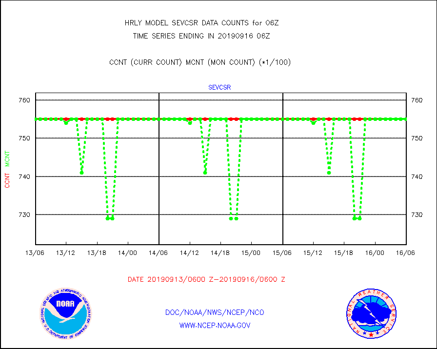
sevcsr |
METEOSAT-10 2nd Gen SEVIRI Clr Sky Radiance(proc) |
75512 |
75512 |
100.0 % |
1605.50-1606.49 |
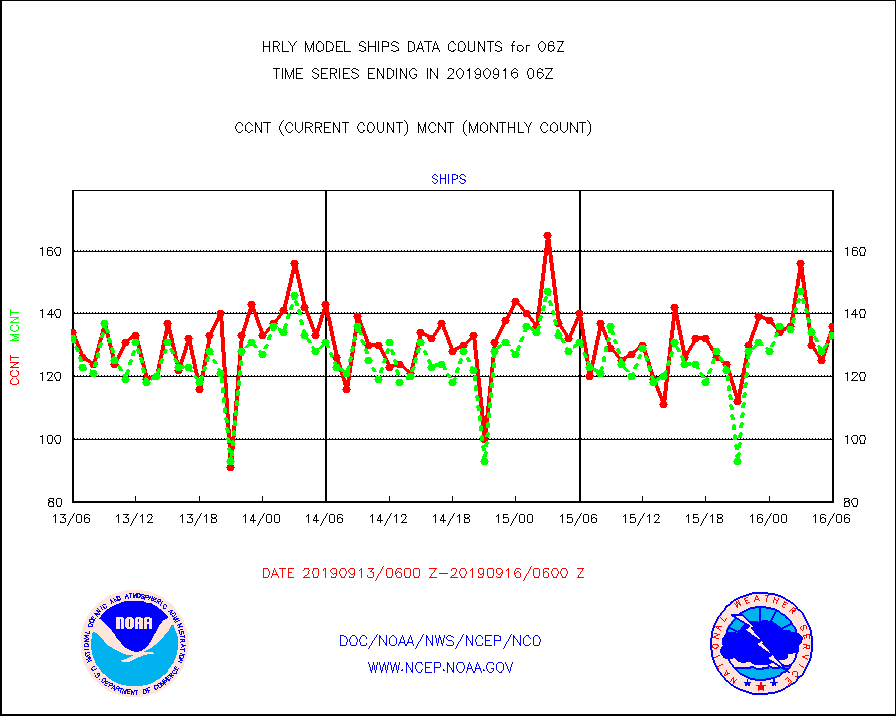
ships |
Ship - manual and automatic, restricted |
136 |
133 |
102.3 % |
1605.50-1606.49 |
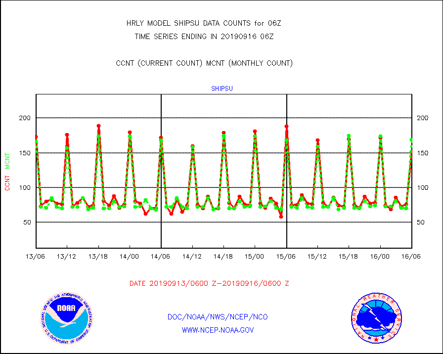
shipsu |
Ship - manual and automatic, unrestricted |
152 |
169 |
89.9 % |
1605.50-1606.50 |
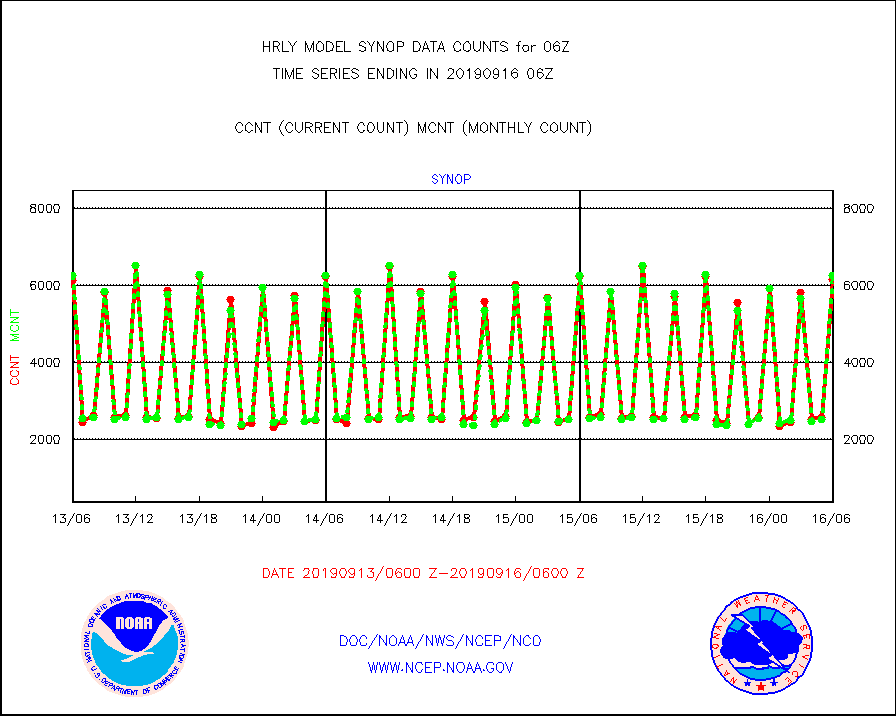
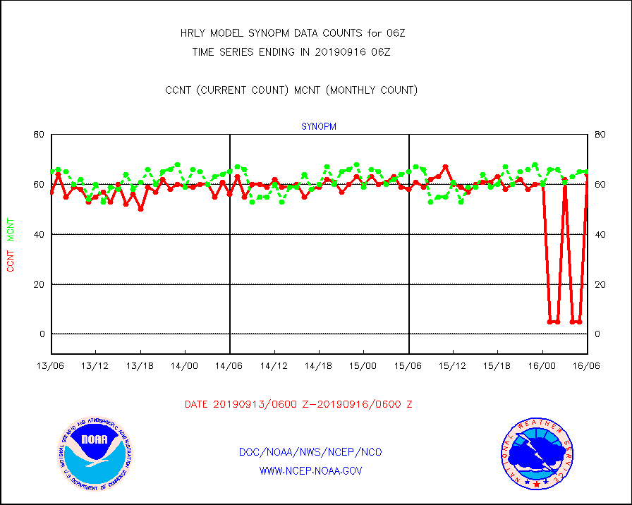
synop |
Synoptic - fixed manual and automatic |
6160 |
6259 |
98.4 % |
1605.50-1606.49 |
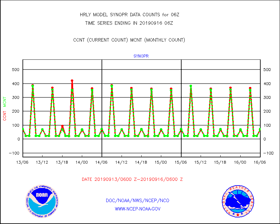
synopr |
Synoptic - restricted (WMO Res 40) manual & auto. |
70 |
72 |
97.2 % |
1605.50-1606.49 |
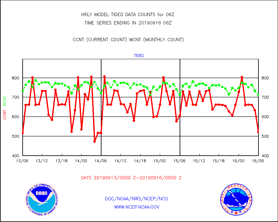
tideg |
Tide gauge reports decoded from CREX format |
522 |
714 |
73.1 % |
1605.00-1605.99 |
| Data Types of Opportunity with Normal Counts |
|---|
| Type | Description | Hourly Count | Monthly Average | Percent (%) of Monthly Mean | UTC Time Window |
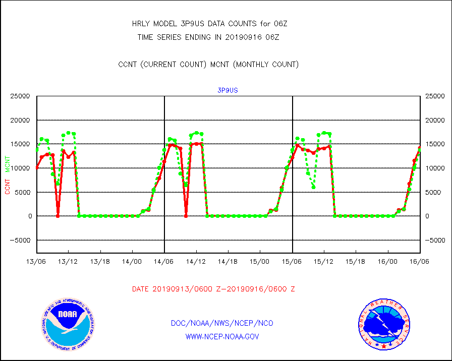
3p9us |
GOES/NESDIS infrared shrt-wave derived cld motion |
14173 |
13738 |
103.2 % |
1605.00-1605.99 |
acarsa |
MDCRS ACARS acft data (ARINC via AFWA)(AIREP fmt) |
0 |
0 |
n/a |
1605.50-1606.49 |
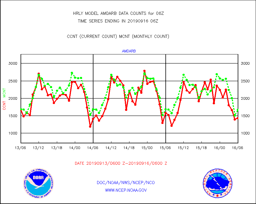
amdarb |
AMDAR aircraft data (decoded from BUFR) |
1438 |
1673 |
86.0 % |
1605.50-1606.49 |
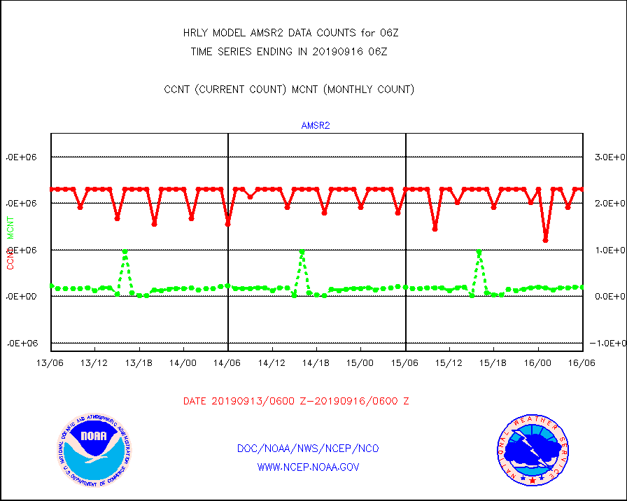
amsr2 |
GCOM-W AMSR2 1B brightness temperatures |
2309472 |
2200900 |
104.9 % |
1604.00-1604.99 |
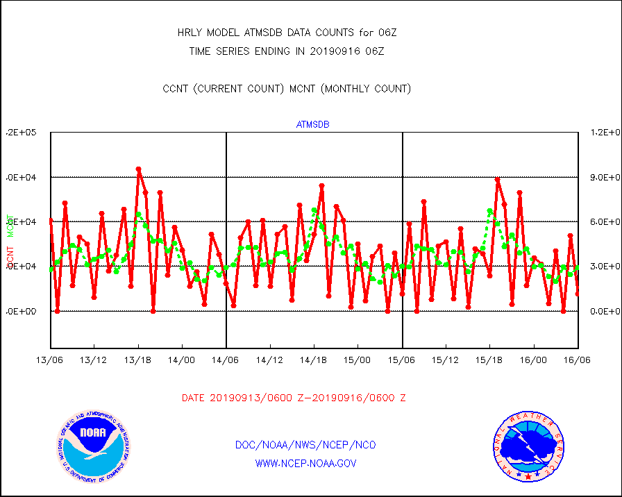
atmsdb |
NPP Adv Tech MW Sndr(ATMS) b. temps-dir bcst SSEC |
11520 |
29398 |
39.2 % |
1604.50-1605.49 |
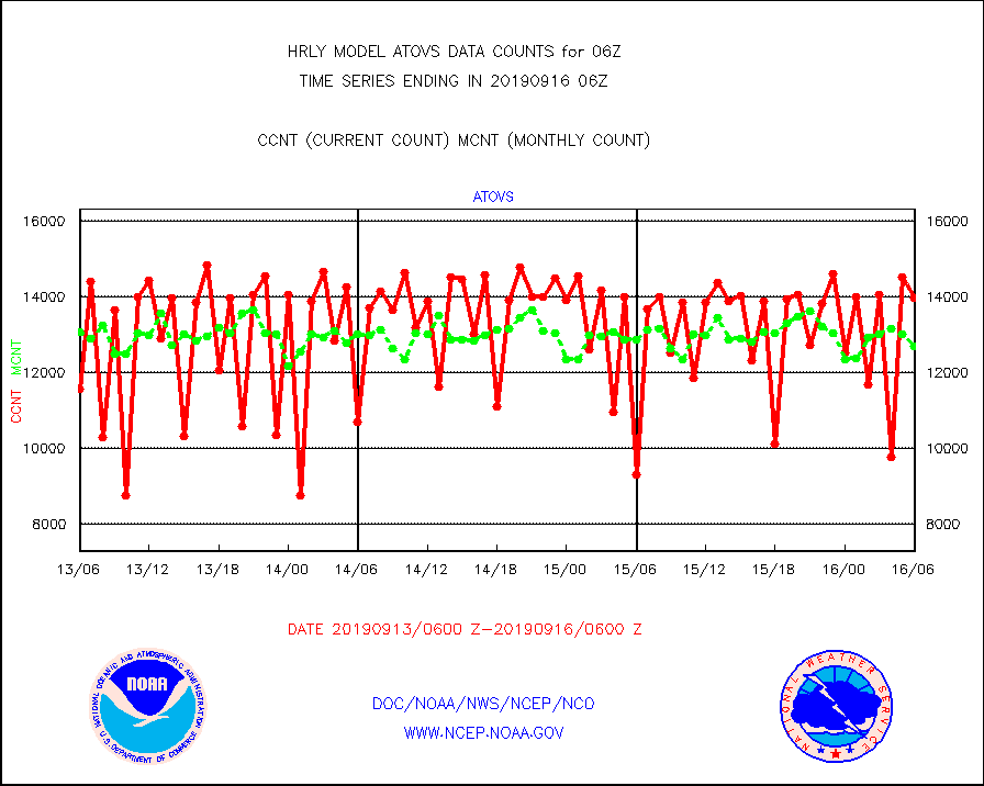
atovs |
POES/NESDIS - processed ATOVS soundings/radiances |
13994 |
12717 |
110.0 % |
1604.00-1604.99 |
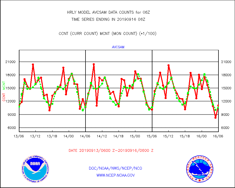
avcsam |
A.M.(N17,M2) AVHRR GAC NCEP-proc clr & sea btemps |
1105527 |
1057175 |
104.6 % |
1603.50-1604.49 |
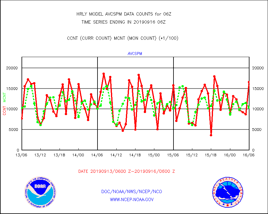
avcspm |
P.M.(N18-19) AVHRR GAC NCEP-proc clr & sea btemps |
1662976 |
1042765 |
159.5 % |
1603.50-1604.49 |
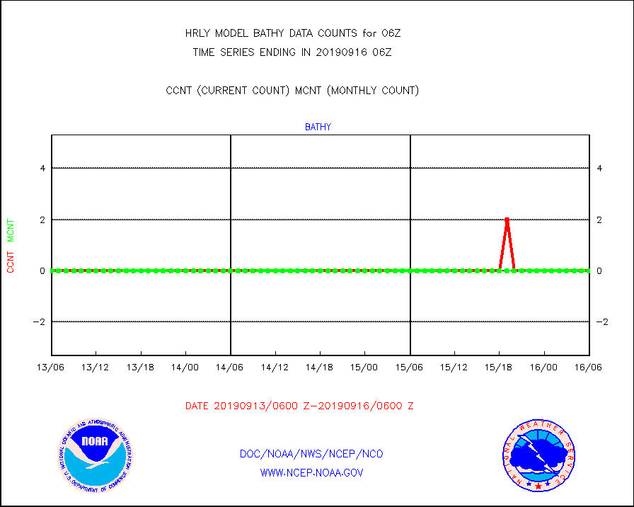
bathy |
Bathythermal |
0 |
0 |
n/a |
1523.00-1523.99 |
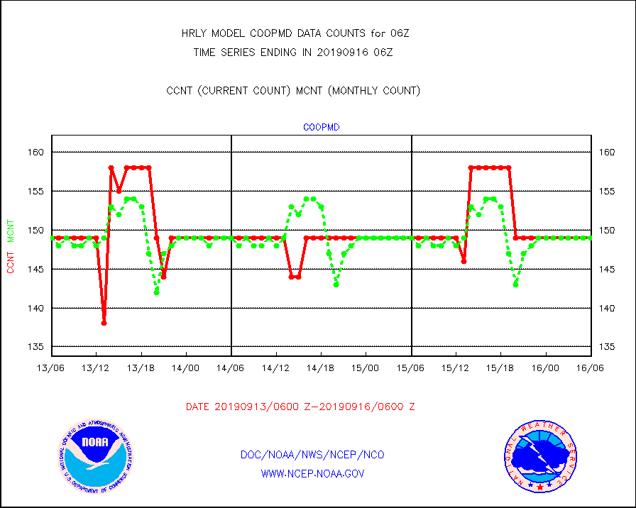
coopmd |
Coop/MADIS NEPP & HCN-Modernization NOAA COOP Obs |
149 |
149 |
100.0 % |
1605.50-1606.49 |
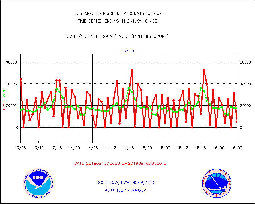
crisdb |
NPP Crss-trk IR Sndr(CrIS) radiance-dir bcst SSEC |
5400 |
17492 |
30.9 % |
1604.50-1605.49 |
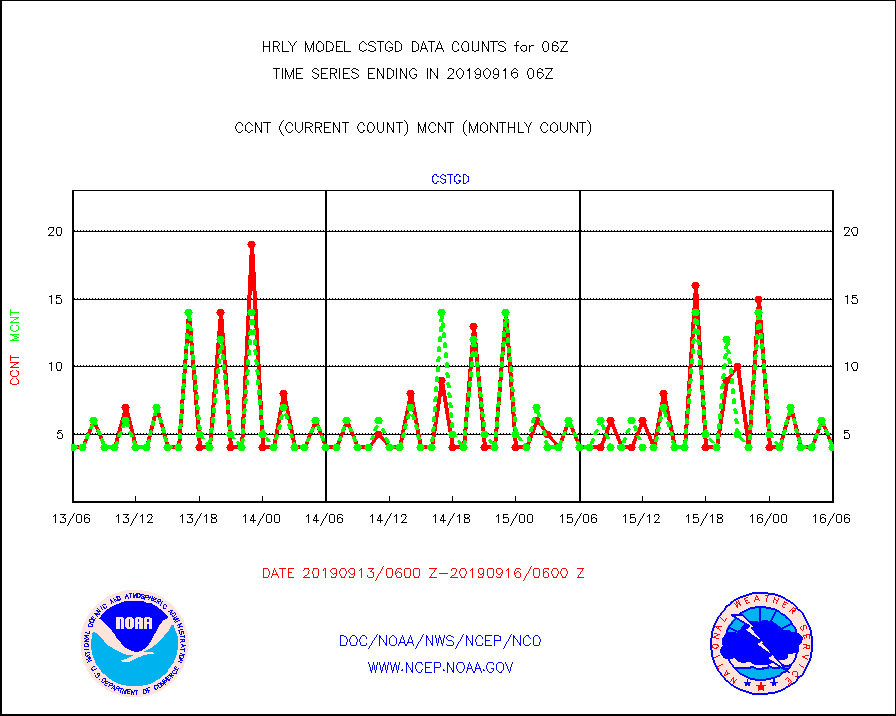
cstgd |
Coast Guard |
4 |
4 |
100.0 % |
1605.50-1606.50 |
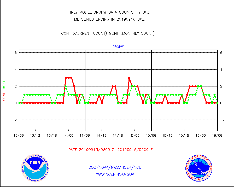
dropw |
Dropwinsonde (from TEMP DROP) |
0 |
0 |
n/a |
1605.50-1606.49 |
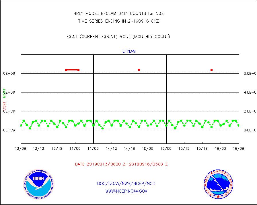
efclam |
GOES imager effective cloud amount data (U.Wisc.) |
8475498 |
8476073 |
100.0 % |
1605.50-1606.49 |
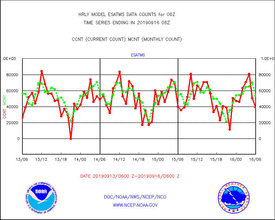
esatms |
NPP Adv. Tech. MW Sndr (ATMS) br. temps from RARS |
39168 |
53716 |
72.9 % |
1604.50-1605.49 |
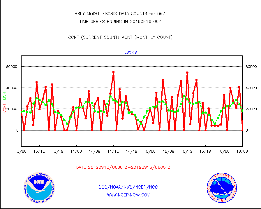
escris |
NPP Crss-track IR Sndr (CrIS) radiances from RARS |
0 |
18218 |
0.0 % |
1604.50-1605.49 |
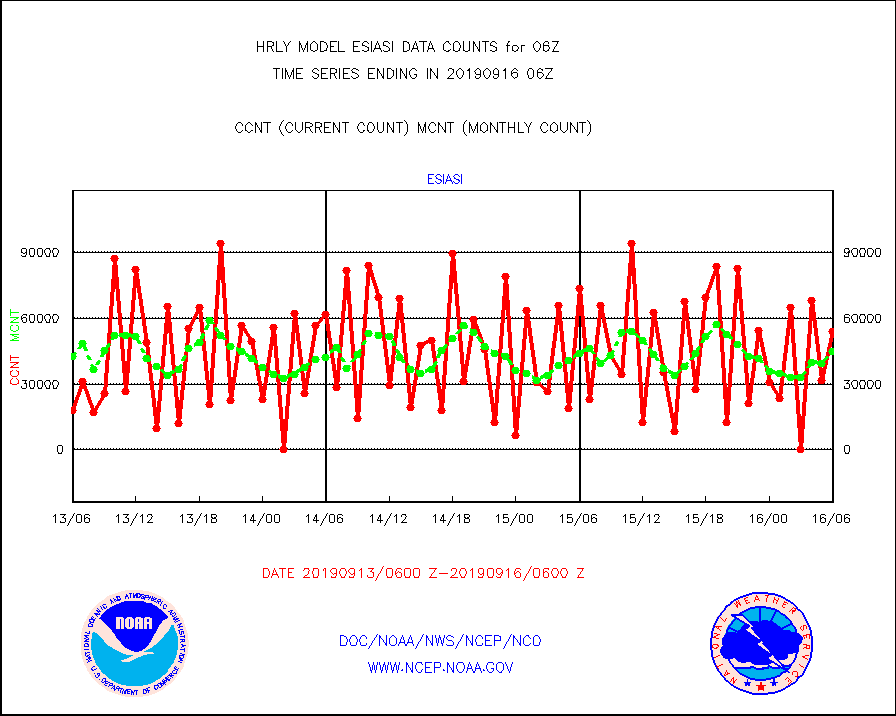
esiasi |
METOP 1-2 IASI 1C radiance data vbl chn from RARS |
54097 |
44709 |
121.0 % |
1605.00-1605.99 |
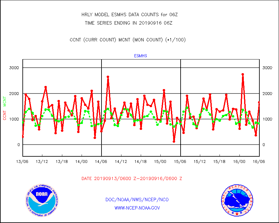
esmhs |
NOAA 18-19 & METOP 1-2 MHS proc. btemps from RARS |
165788 |
82638 |
200.6 % |
1605.50-1606.49 |
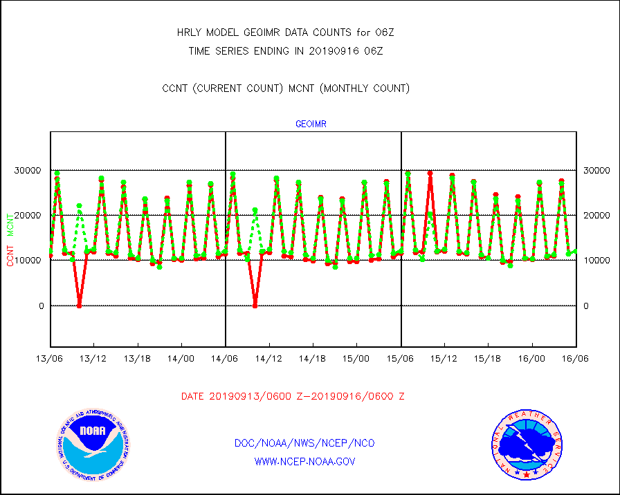
geoimr |
GOES/NESDIS (11x17 f-o-v) imager clear radiances |
12127 |
12060 |
100.6 % |
1605.00-1605.99 |
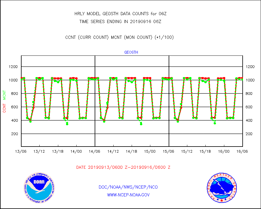
geosth |
GOES/NESDIS hi-resol. (1x1 f-o-v) cloud data |
102885 |
100792 |
102.1 % |
1605.00-1605.99 |
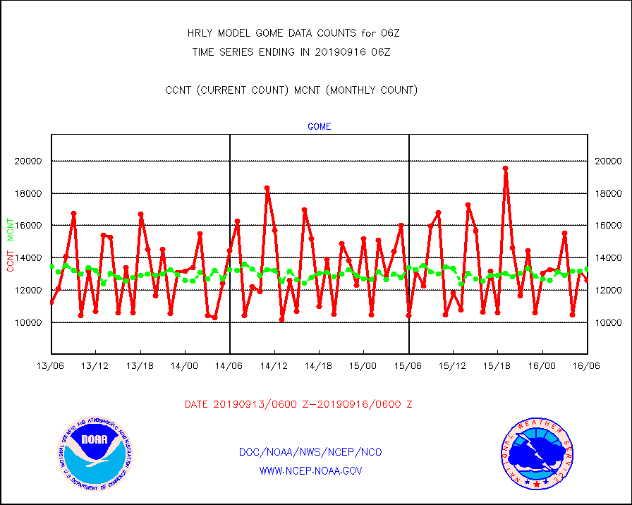
gome |
METOP 1-2 Global Ozone Monitoring Exp.-2 (GOME-2) |
12616 |
13300 |
94.9 % |
1604.50-1605.49 |
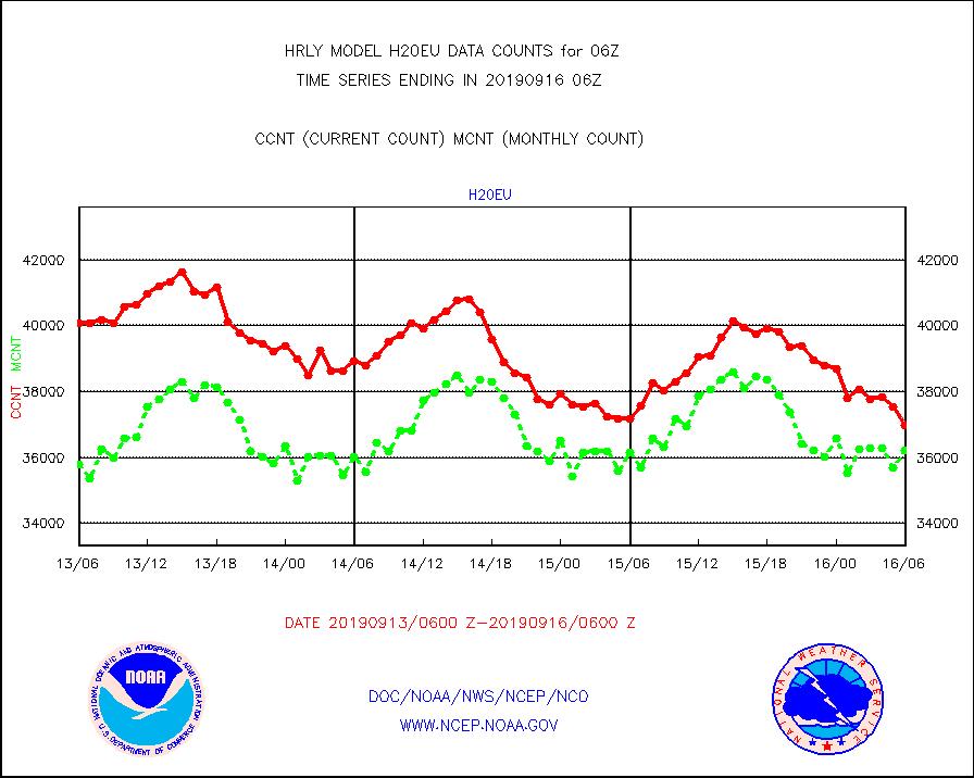
h20eu |
METEOSAT/EUMETSAT wvpr imager derived cld motion |
36979 |
36229 |
102.1 % |
1604.50-1605.49 |
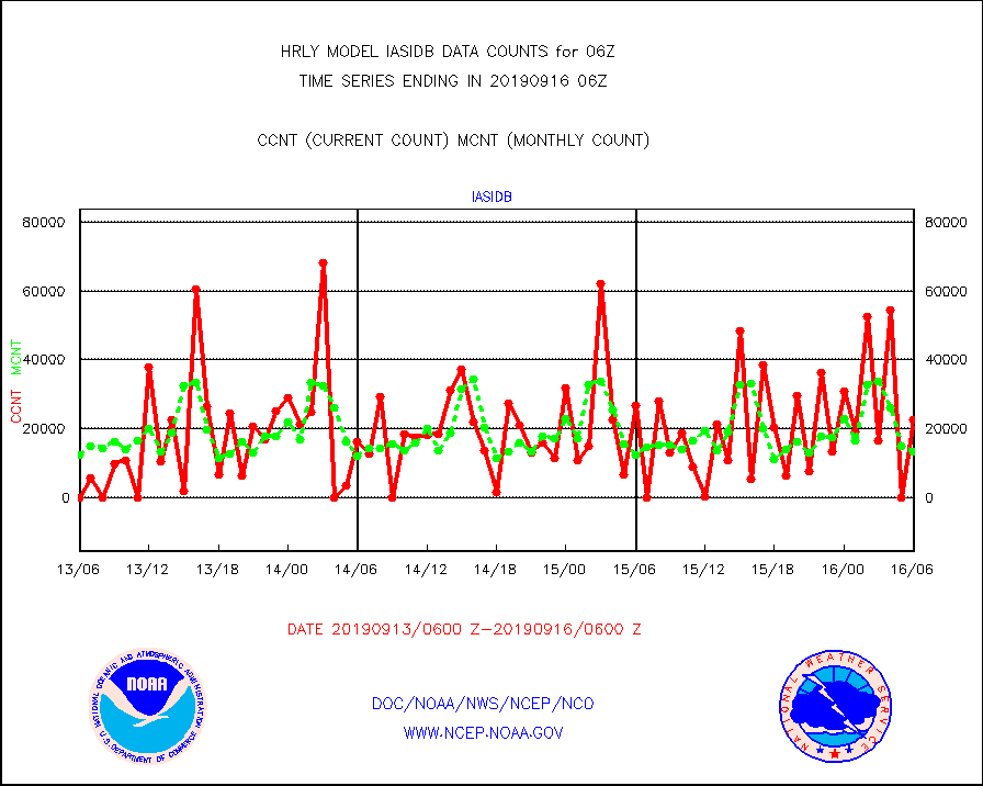
iasidb |
METOP 1-2 IASI 1C radiances-direct broadcast SSEC |
22560 |
13254 |
170.2 % |
1604.50-1605.49 |
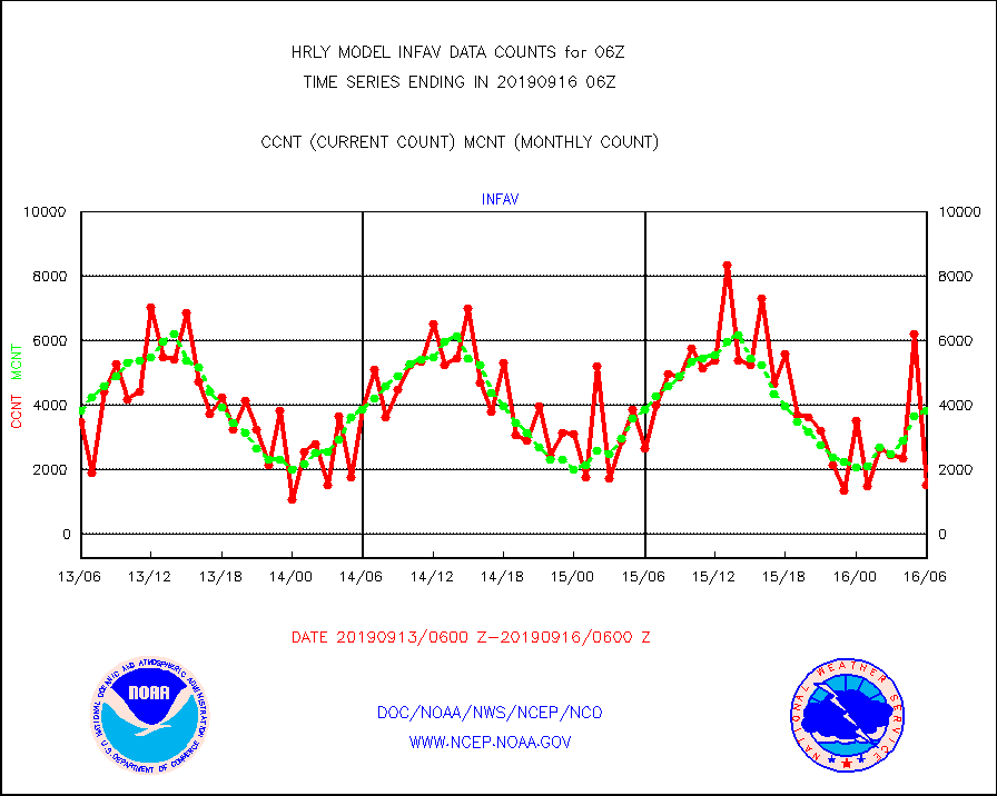
infav |
AVHRR (NOAA/METOP) ir lg-wave derived cld motion |
1541 |
3825 |
40.3 % |
1602.00-1602.99 |
infin |
INSAT/KALPANA India ir lg-wave derived cld motion |
0 |
0 |
n/a |
1603.50-1604.49 |
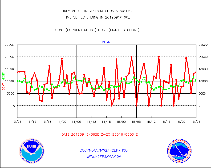
infvr |
VIIRS (NPP) infrared lg-wave derived cloud motion |
13718 |
10194 |
134.6 % |
1602.00-1602.99 |
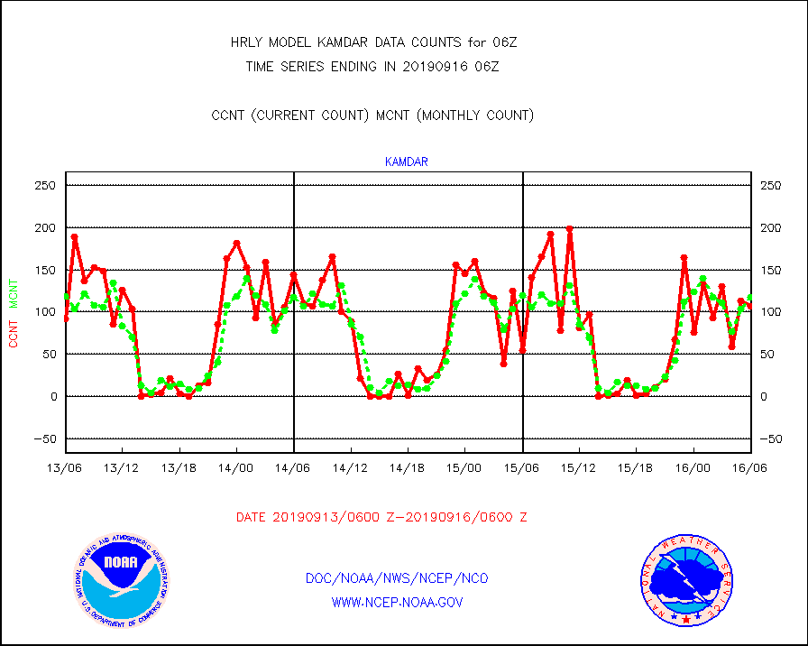
kamdar |
Korean AMDAR aircraft data (decoded from BUFR) |
107 |
118 |
90.7 % |
1605.50-1606.49 |
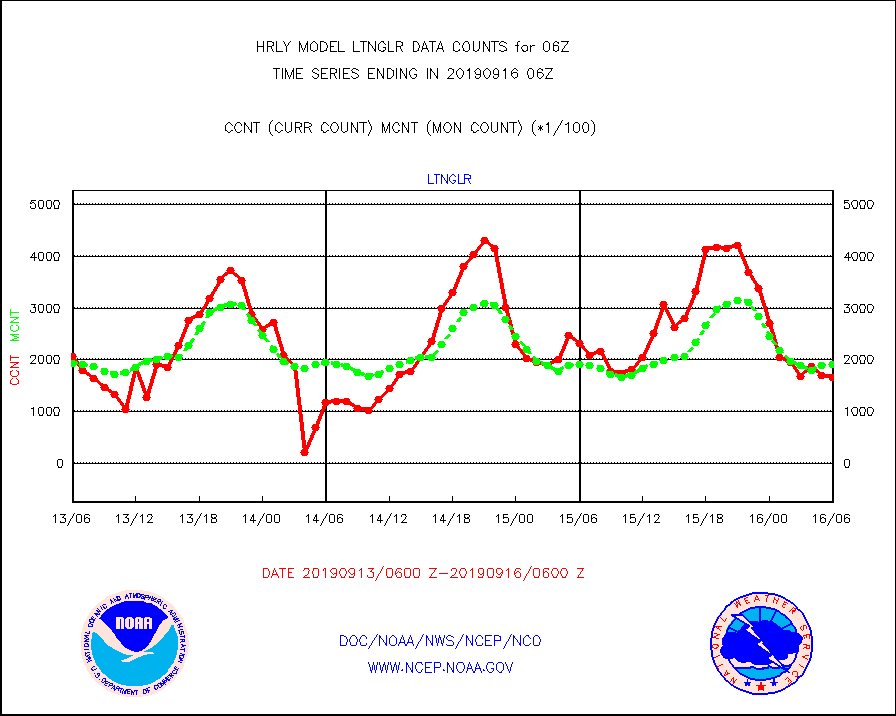
ltnglr |
LLDN Long-rng lightning from Vaisala via NOAAPORT |
166237 |
192012 |
86.6 % |
1605.50-1606.49 |
mls |
Aura Microwave Limb Sounder (MLS) ozone data |
0 |
0 |
n/a |
1604.00-1604.99 |
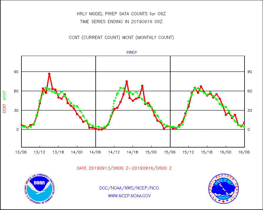
pirep |
Manual PIREP aircraft data (dcded from AIREP fmt) |
11 |
4 |
275.0 % |
1605.50-1606.49 |
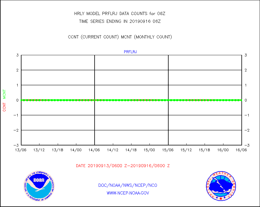
prflrj |
Japanese Meteorological Agency profiler winds |
0 |
0 |
n/a |
1605.50-1606.49 |
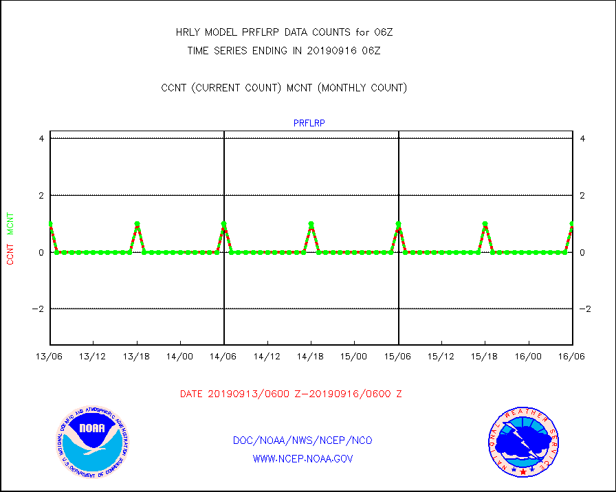
prflrp |
Profilr winds from PIBAL (PILOT,PILOT SHIP/MOBIL) |
1 |
1 |
100.0 % |
1605.50-1606.49 |
raobm |
Rawinsonde - mobile land (from TEMP/PILOT MOBIL) |
0 |
0 |
n/a |
1605.50-1606.49 |
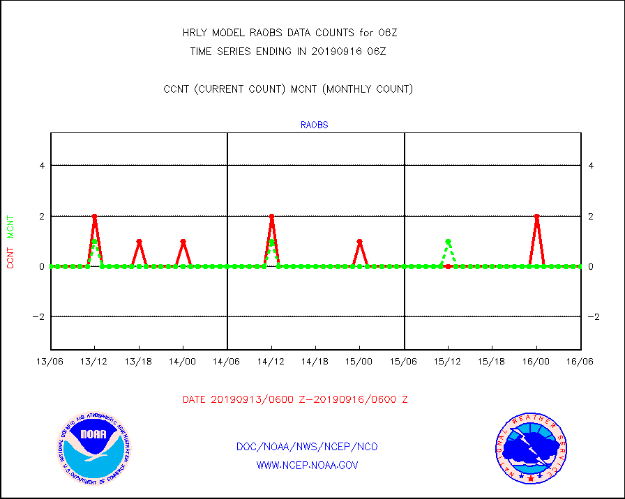
raobs |
Rawinsonde - ship (from TEMP SHIP, PILOT SHIP) |
0 |
0 |
n/a |
1605.50-1606.49 |
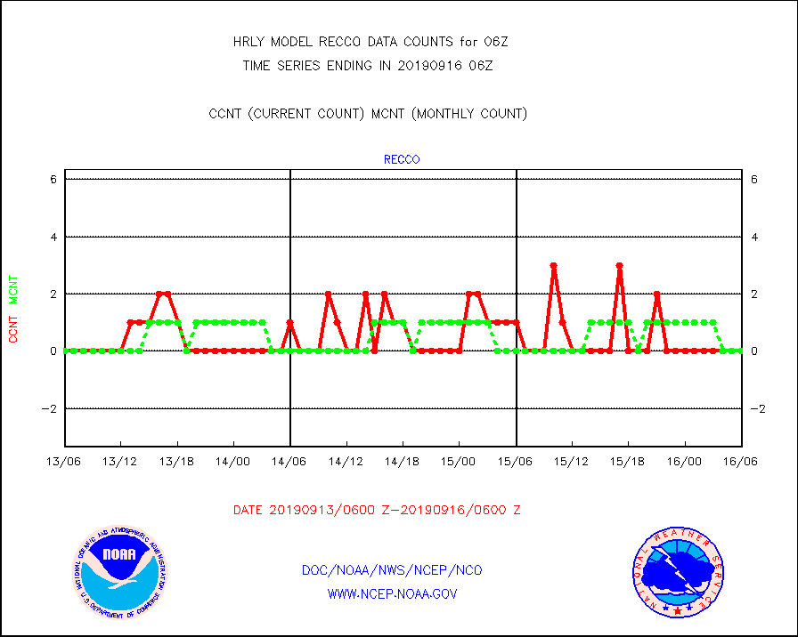
recco |
Flight level reconnaissance aircraft data |
0 |
0 |
n/a |
1605.50-1606.49 |
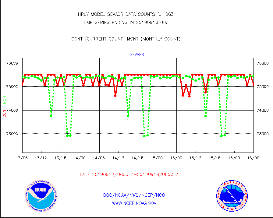
sevasr |
METEOSAT-10 2nd Gen SEVIRI All Sky Radiance(proc) |
75081 |
75439 |
99.5 % |
1605.50-1606.49 |
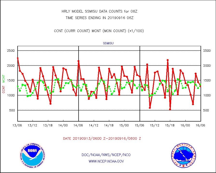
ssmisu |
DMSP SSM/IS 1C radiance data (Unified Pre-Proc.) |
130380 |
136654 |
95.4 % |
1604.50-1605.49 |
synopm |
Synoptic - mobile manual and automatic |
64 |
65 |
98.5 % |
1605.50-1606.49 |
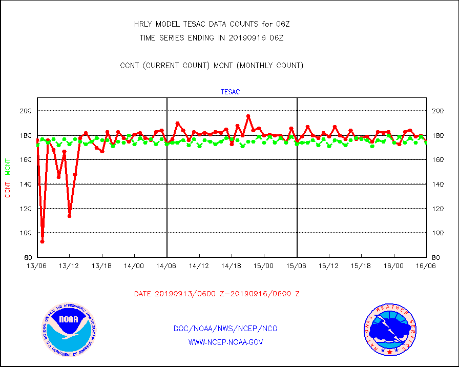
tesac |
TESAC |
175 |
174 |
100.6 % |
1605.50-1606.49 |
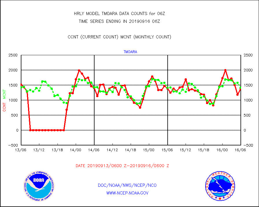
tmdara |
TAMDAR aircft data-all types(from Panasonic,BUFR) |
1385 |
1417 |
97.7 % |
1605.50-1606.49 |
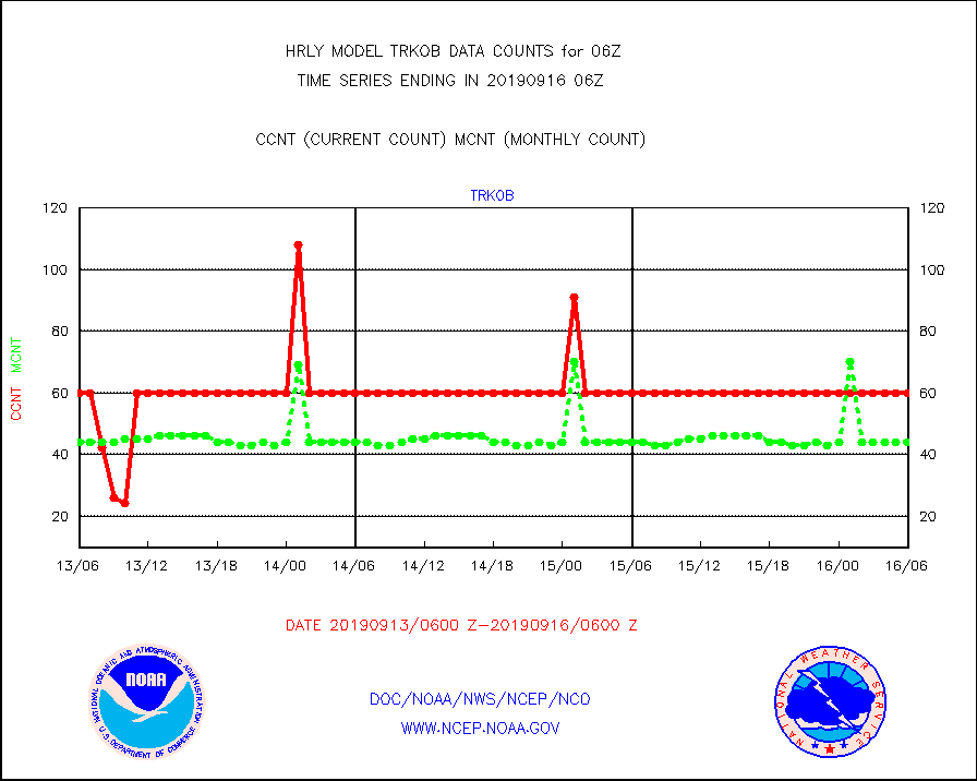
trkob |
TRACKOB |
60 |
44 |
136.4 % |
1604.50-1605.49 |
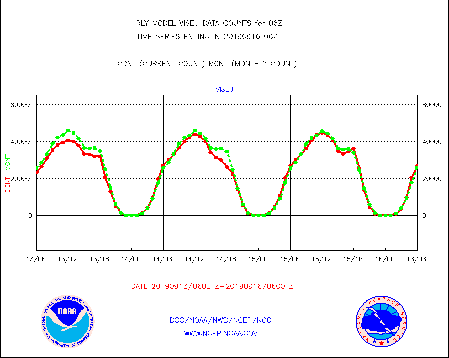
viseu |
METEOSAT/EUMETSAT visible derived cloud motion |
26935 |
26095 |
103.2 % |
1604.50-1605.49 |
visin |
INSAT/KALPANA India visible derived cloud motion |
0 |
0 |
n/a |
1603.50-1604.49 |
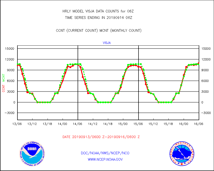
visja |
MTSAT/JMA visible derived cloud motion |
10920 |
10639 |
102.6 % |
1603.50-1604.49 |
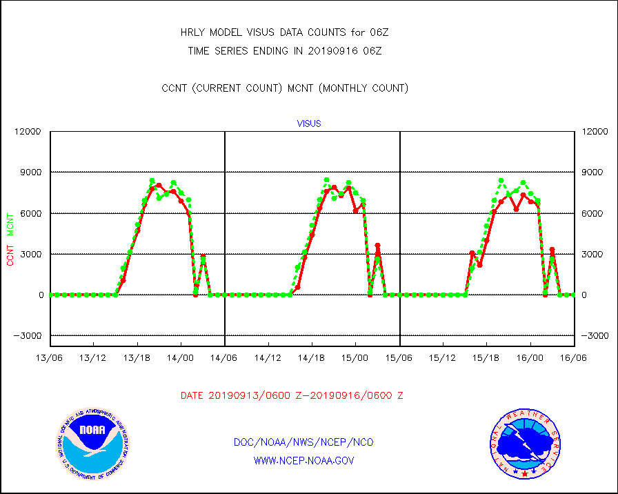
visus |
GOES/NESDIS visible derived cloud motion |
0 |
0 |
n/a |
1605.00-1605.99 |


