| Critical Data with Normal Counts |
|---|
| Type | Description | Hourly Count | Monthly Average | Percent (%) of Monthly Mean | UTC Time Window |
1bamua |
NOAA 15-19 & METOP 1-2 AMSU-A NCEP-proc. br.temps |
29028 |
28872 |
100.5 % |
2510.00-2515.99 |
1bhrs4 |
NOAA 18-19 & METOP 1-2 HIRS-4 NCEP-proc. br.temps |
19248 |
25579 |
75.2 % |
2510.00-2515.99 |
1bmhs |
NOAA 18-19 & METOP 1-2 MHS NCEP-proces. br. temps |
174825 |
159004 |
110.0 % |
2510.00-2515.99 |
acars |
MDCRS ACARS acft data from ARINC(dcded from BUFR) |
60057 |
44070 |
136.3 % |
2509.75-2516.25 |
cmanb |
Surface Marine CMAN rpts decoded from BUFR format |
1681 |
1594 |
105.5 % |
2512.50-2513.50 |
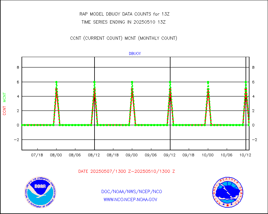
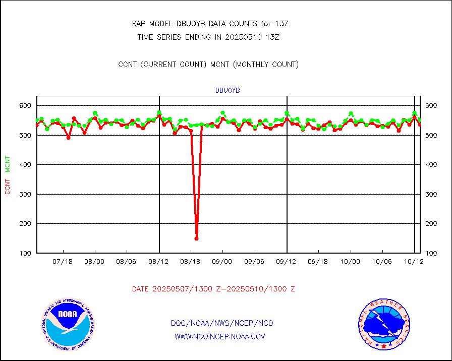
dbuoy |
Buoys decoded from FM-18 fmt (moored or drifting) |
0 |
0 |
n/a |
2512.50-2513.50 |
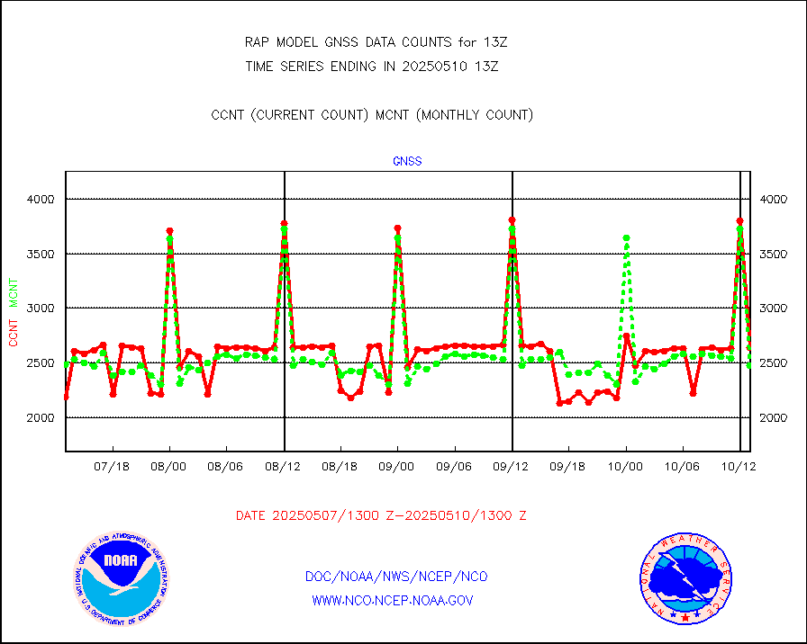
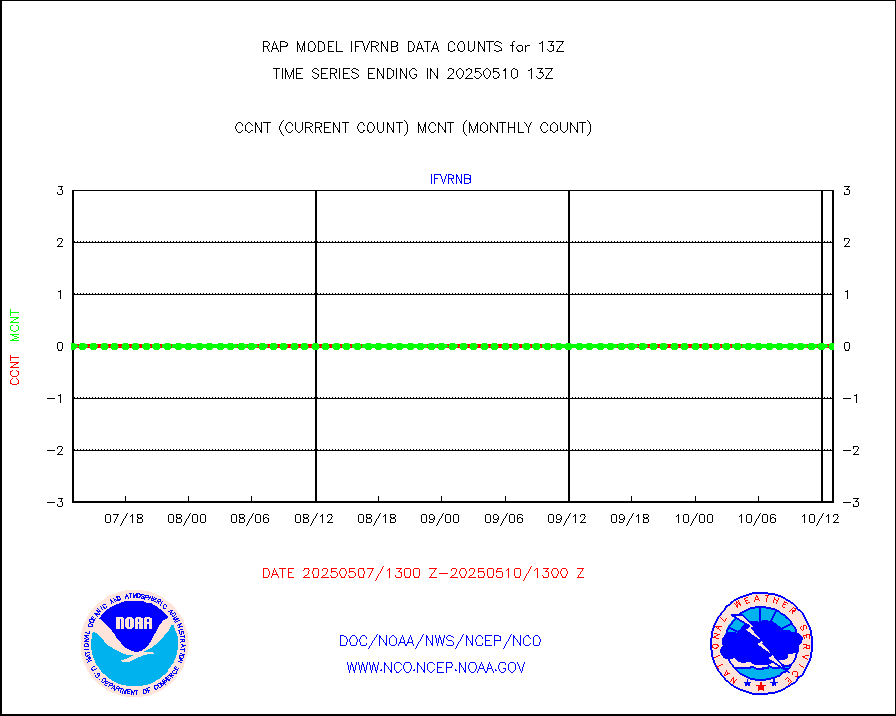
gnss |
Grnd-based Gbl Navigation Sat System (GNSS) data |
2718 |
2398 |
113.3 % |
2511.95-2512.05 |
h20mo |
MODIS (AQUA/TERRA) wvpr imager derived cld motion |
0 |
0 |
n/a |
2510.50-2515.50 |
infmo |
MODIS (AQUA/TERRA) ir l-wave derived cloud motion |
0 |
0 |
n/a |
2510.50-2515.50 |
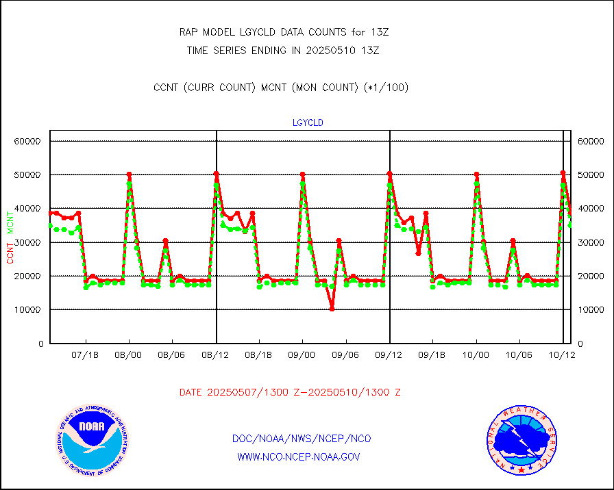
lgycld |
GOES/NASA(Langley) hi-res. (1x1 f-o-v) cloud data |
3722757 |
3299387 |
112.8 % |
2512.50-2513.50 |
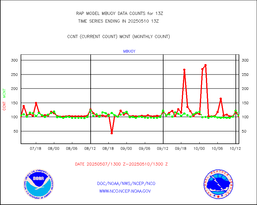
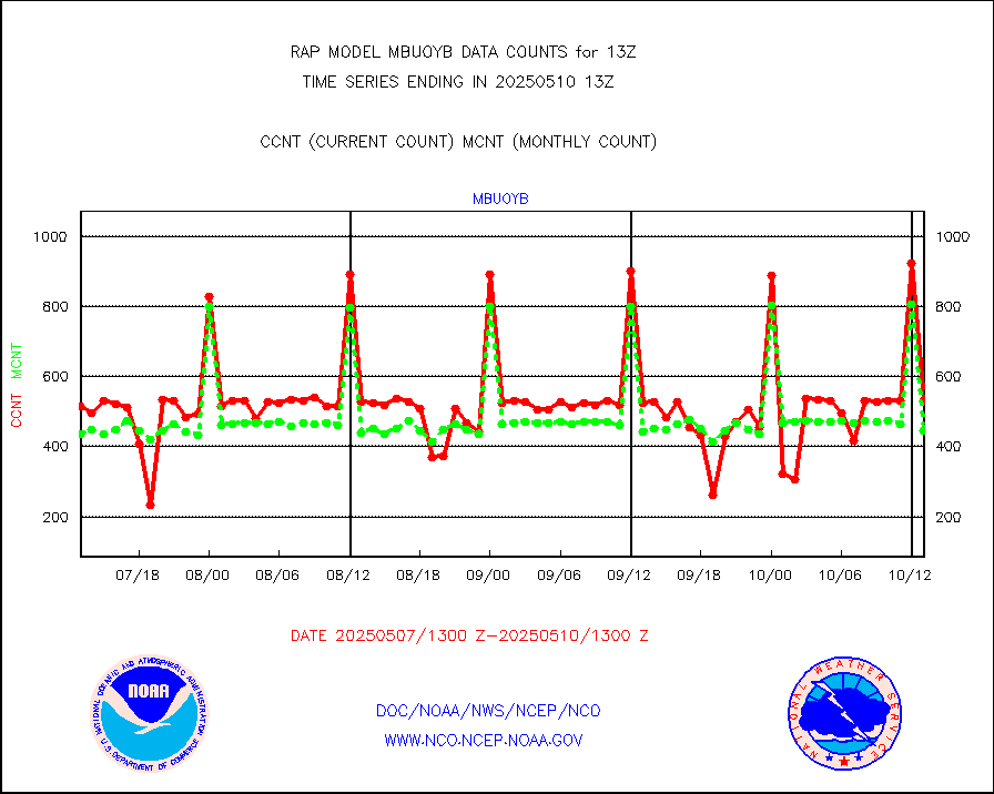
mbuoy |
Buoys decoded from FM-13 format (moored) |
93 |
54 |
172.2 % |
2512.50-2513.50 |
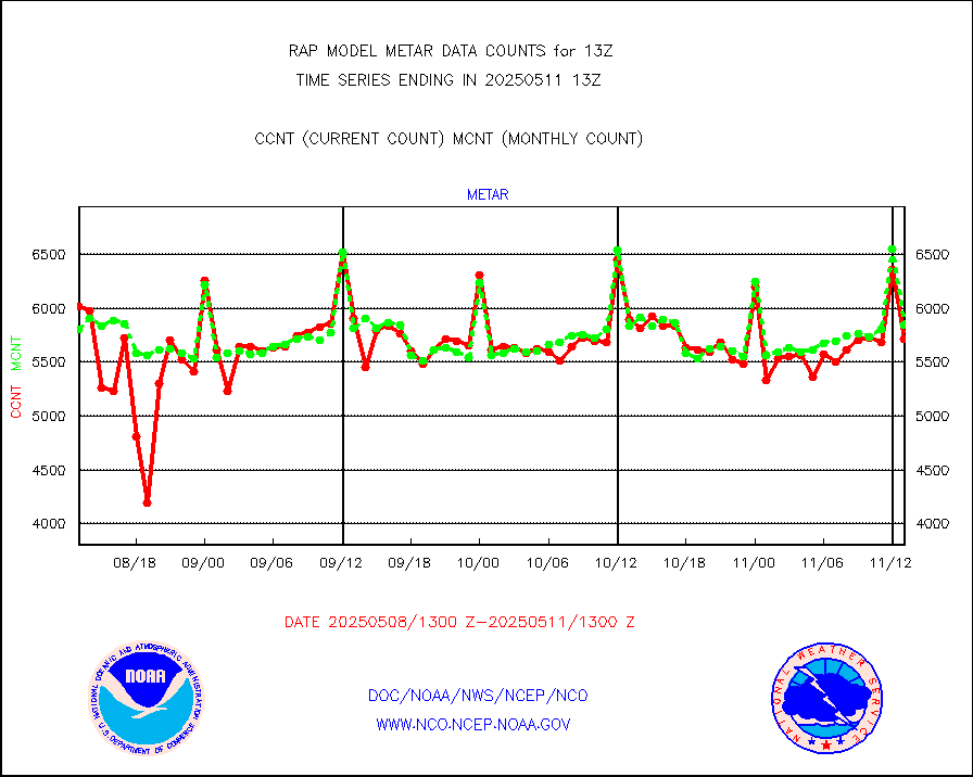
metar |
Aviation - METAR |
6004 |
5948 |
100.9 % |
2512.50-2513.50 |
nxrdw |
NEXRAD Vel Azm Dsp(VAD) winds via radar coded msg |
0 |
0 |
n/a |
2512.00-2514.00 |
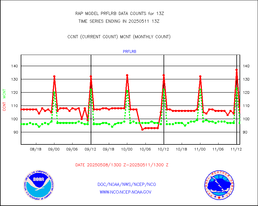
prflrb |
Multi-Agency Profiler (MAP) and SODAR winds |
83 |
82 |
101.2 % |
2511.50-2514.50 |
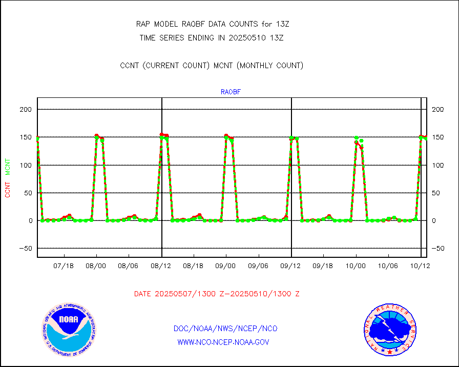
raobf |
Rawinsonde - fixed land (from TEMP or PILOT) |
151 |
159 |
95.0 % |
2512.00-2514.00 |
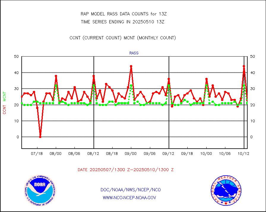
rass |
RASS temperatures (NOAA and Multi-Agency) |
20 |
22 |
90.9 % |
2512.50-2513.50 |
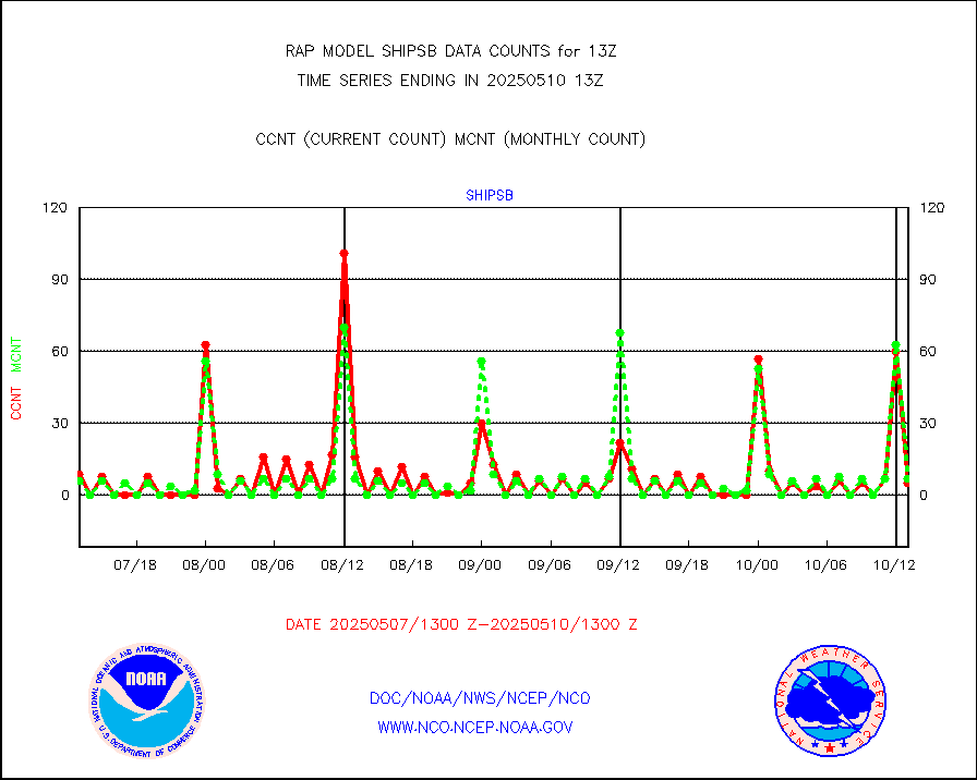
shipsb |
Ship - manual and automatic, restricted (BUFR) |
0 |
0 |
n/a |
2512.50-2513.50 |
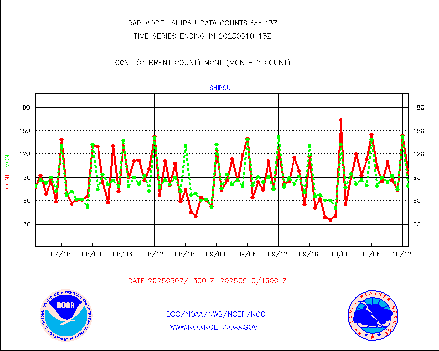
shipsu |
Ship - manual and automatic, unrestricted |
40 |
42 |
95.2 % |
2512.50-2513.50 |
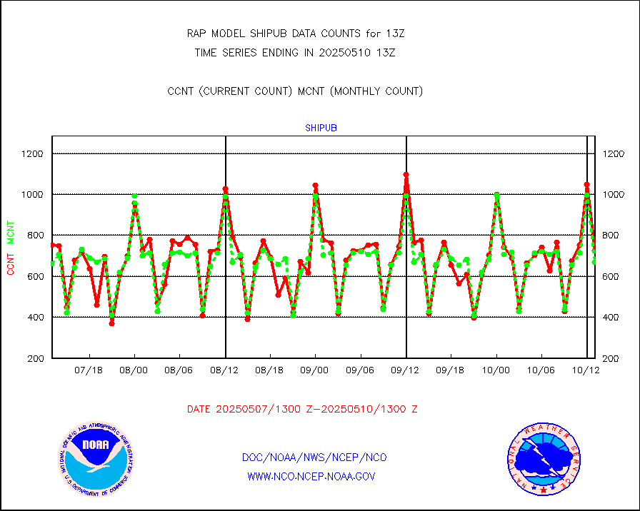
shipub |
Ship - manual and automatic, unrestricted (BUFR) |
661 |
590 |
112.0 % |
2512.50-2513.50 |
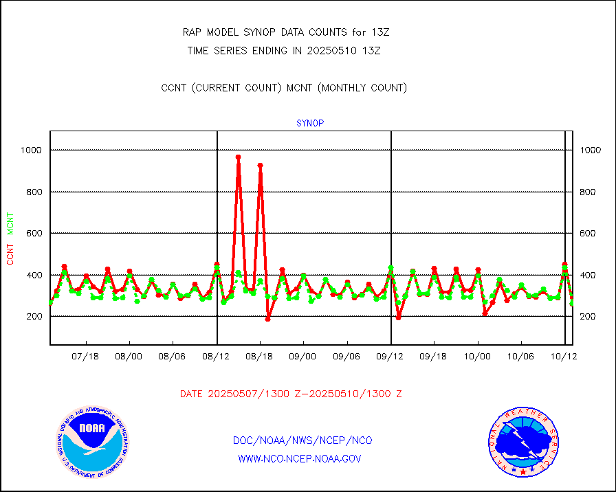
synop |
Synoptic - fixed manual and automatic |
197 |
287 |
68.6 % |
2512.50-2513.50 |
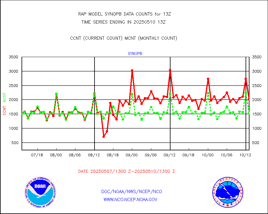
synopb |
Synoptic - fixed manual & auto (decoded fr BUFR) |
1694 |
1552 |
109.1 % |
2512.50-2513.50 |
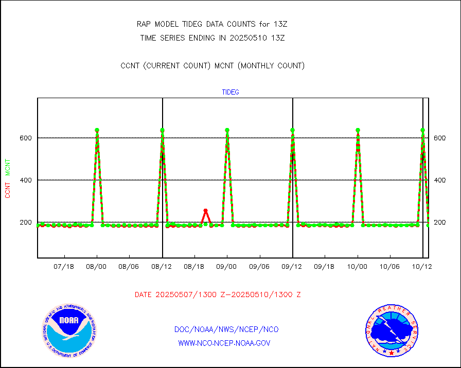
tideg |
Tide gauge reports decoded from CREX format |
181 |
178 |
101.7 % |
2512.50-2513.50 |
| Data Types of Opportunity with Normal Counts |
|---|
| Type | Description | Hourly Count | Monthly Average | Percent (%) of Monthly Mean | UTC Time Window |
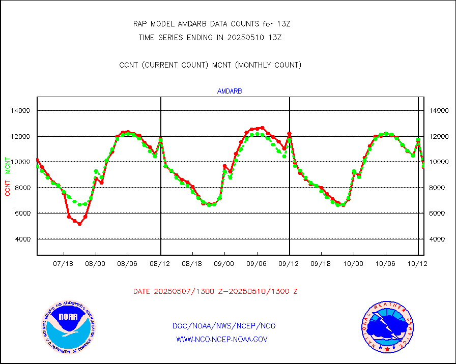
3p9usr |
GOES-16&up/NESDIS ir short-wv derived cld motion |
10424 |
11054 |
94.3 % |
2512.00-2512.99 |
acarsa |
MDCRS ACARS acft data (ARINC via AFWA)(AIREP fmt) |
0 |
0 |
n/a |
2509.75-2516.25 |
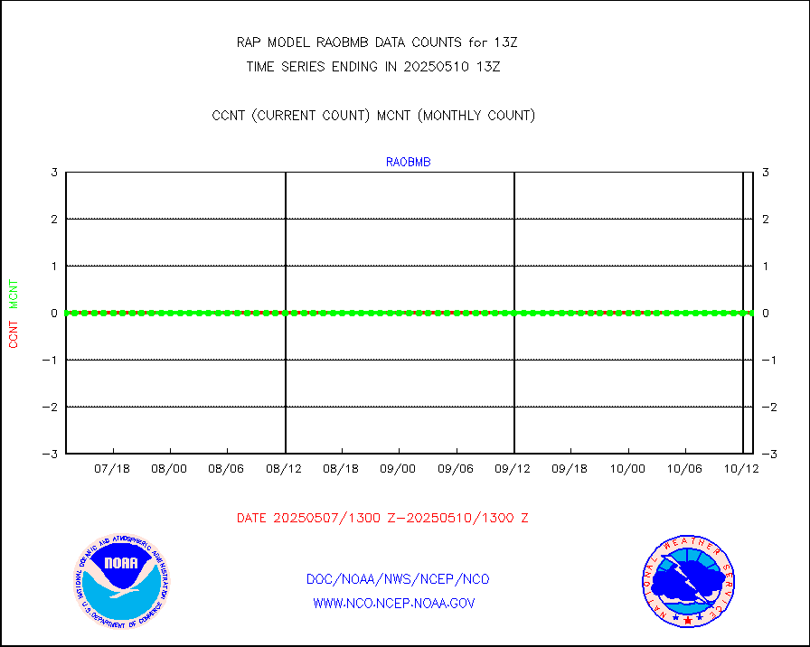
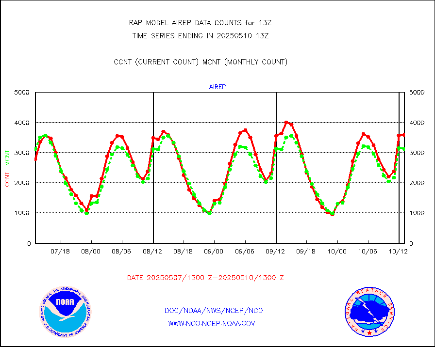
airep |
Manual AIREP aircraft data (dcded from AIREP fmt) |
4154 |
4195 |
99.0 % |
2509.75-2516.25 |
airsev |
AQUA AIRS/AMSU-A/HSB brightness temps- every FOV |
0 |
0 |
n/a |
2510.00-2515.99 |
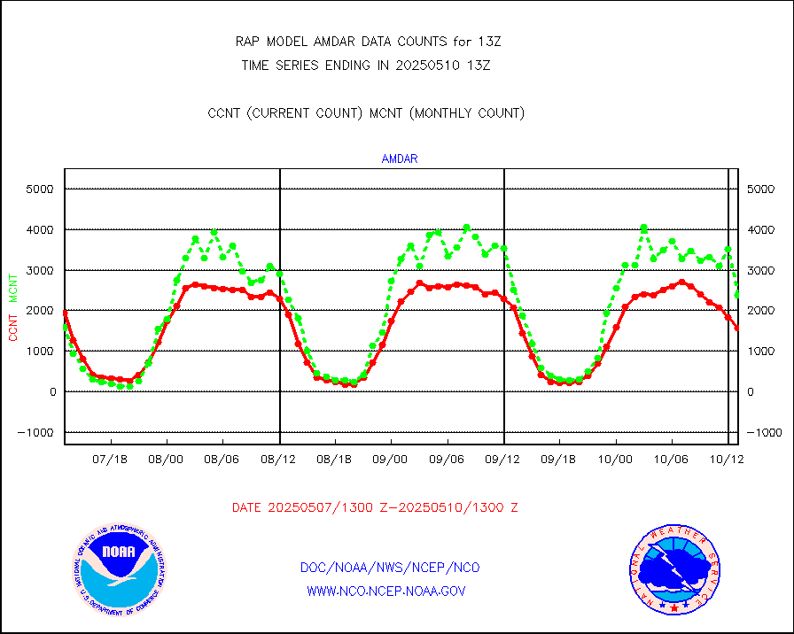
amdar |
AMDAR aircraft data (decoded from AMDAR format) |
2099 |
2194 |
95.7 % |
2509.75-2516.25 |
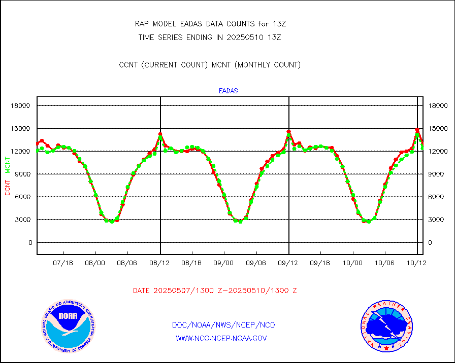
amdarb |
AMDAR aircraft data (decoded from BUFR) |
5177 |
4731 |
109.4 % |
2509.75-2516.25 |
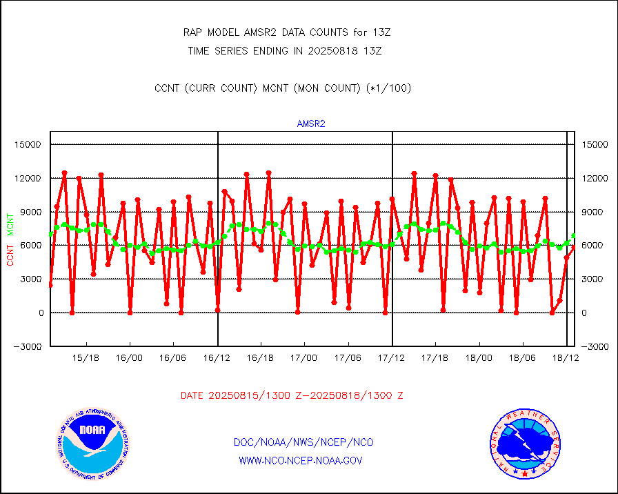
amsr2 |
GCOM-W AMSR2 1B brightness temperatures |
595469 |
685626 |
86.9 % |
2510.00-2510.99 |
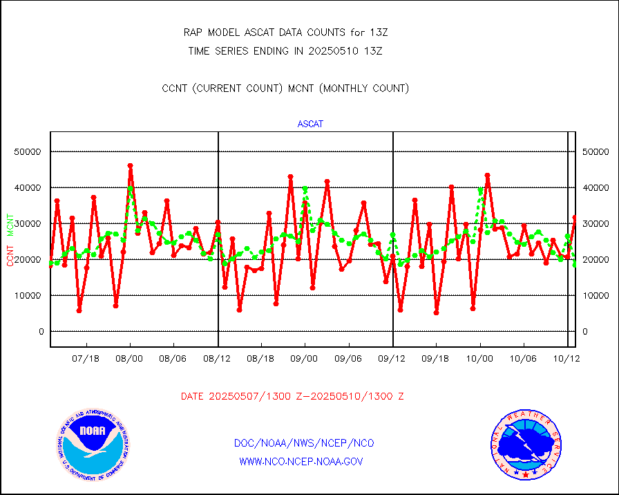
ascat |
METOP 1-2 ASCAT products |
17326 |
13854 |
125.1 % |
2511.00-2515.00 |
atms |
NPP/NOAA-20 ATMS brightness temperatures |
187820 |
201157 |
93.4 % |
2511.00-2514.99 |
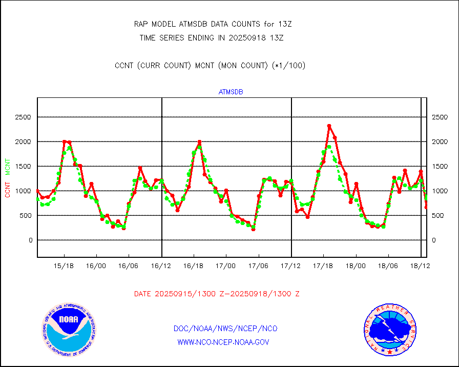
atmsdb |
NPP/NOAA-20 ATMS bright. temps-direct b-cast SSEC |
138234 |
134770 |
102.6 % |
2511.00-2514.99 |
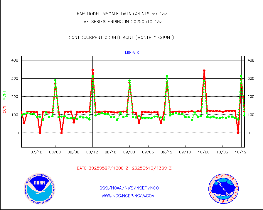
coopmd |
Coop/MADIS NEPP & HCN-Modernization NOAA COOP Obs |
27 |
24 |
112.5 % |
2512.50-2513.50 |
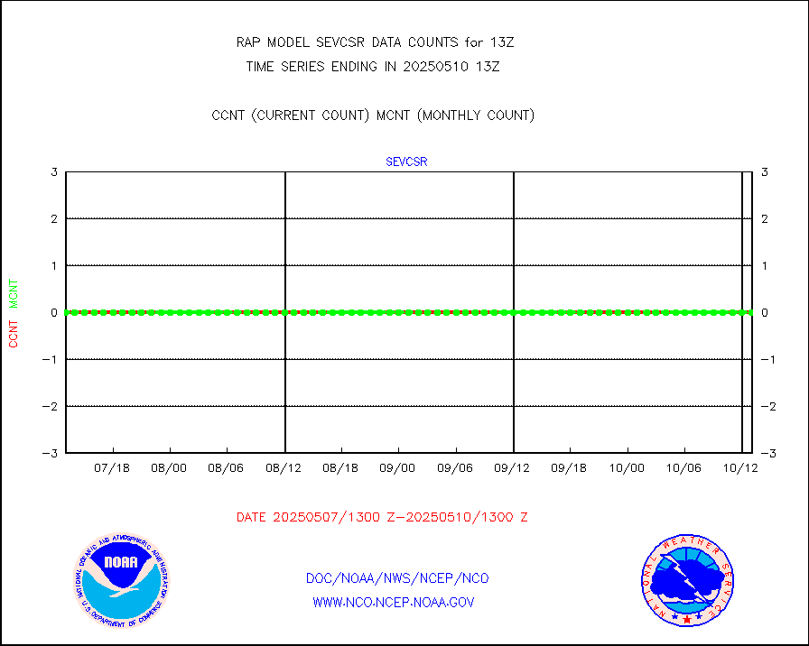
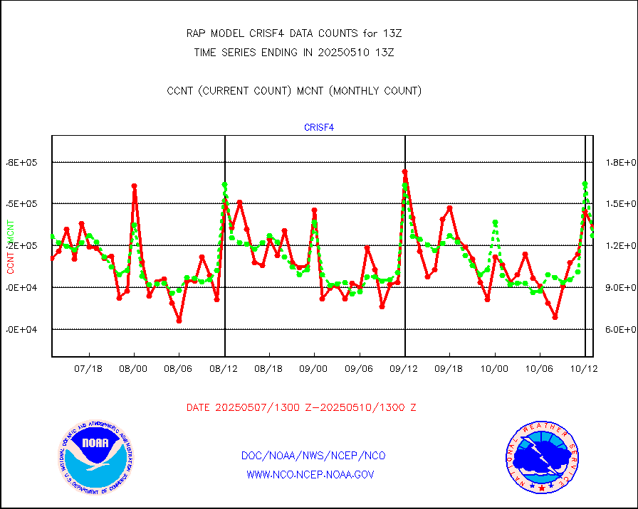
crisf4 |
NPP/NOAA-20 CrIS full spctrl radn (431 ch subset) |
152301 |
119100 |
127.9 % |
2511.00-2514.99 |
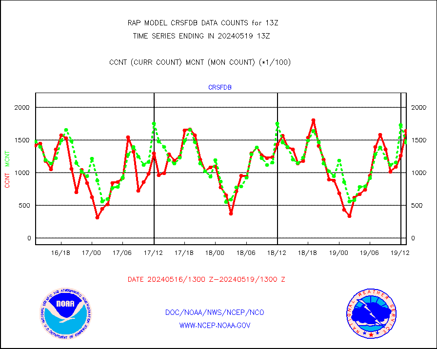
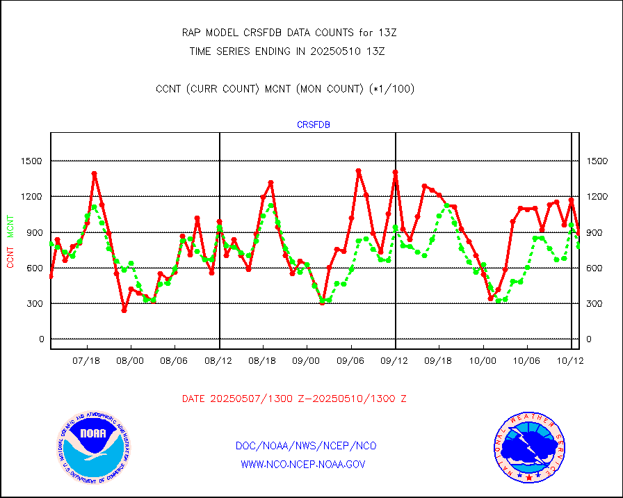
crsfdb |
NPP/NOAA-20 CrIS full spctrl radn dir brdcst SSEC |
138062 |
128212 |
107.7 % |
2511.00-2514.99 |
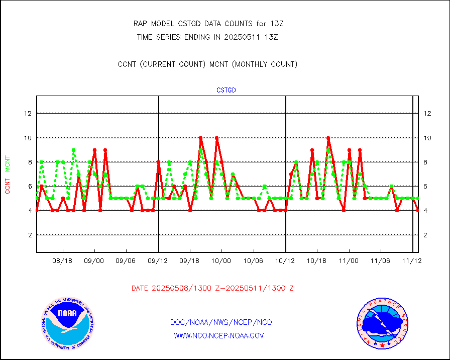
cstgd |
Coast Guard |
3 |
4 |
75.0 % |
2512.50-2513.50 |
dbuoyb |
Drifting buoys (decoded from BUFR) |
570 |
594 |
96.0 % |
2512.50-2513.50 |
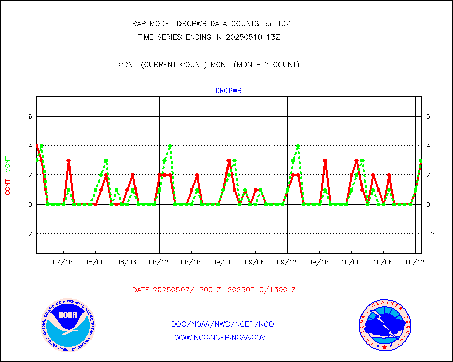
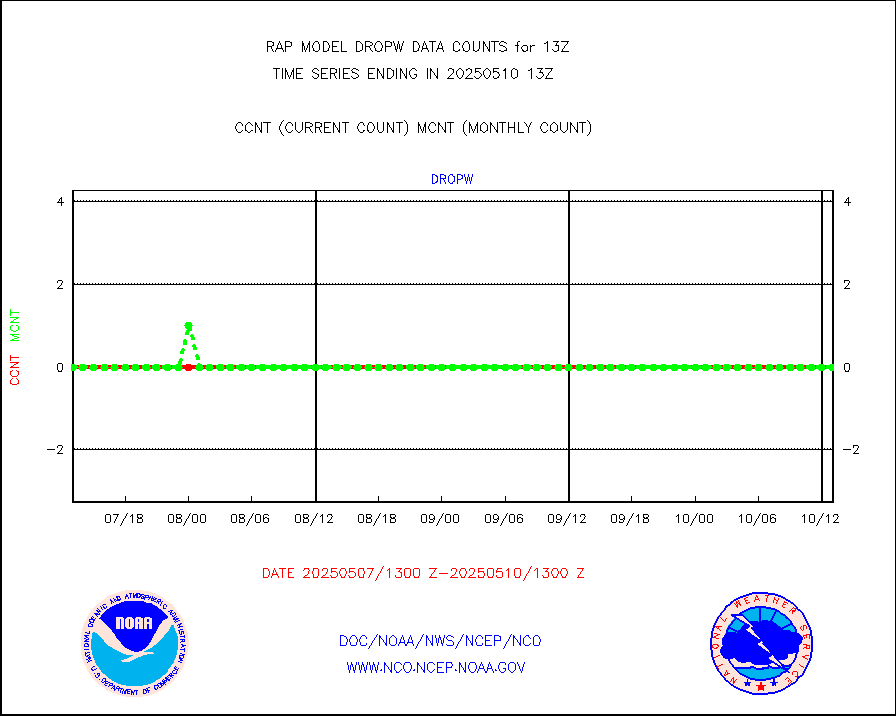
dropw |
Dropwinsonde (from TEMP DROP) |
0 |
0 |
n/a |
2512.00-2514.00 |
eadas |
E-AMDAR (European AMDAR acft decoded from BUFR) |
9004 |
9313 |
96.7 % |
2509.75-2516.25 |
esamua |
NOAA 15-19 & METOP 1-2 AMSU-A proc btmps frm RARS |
4080 |
9926 |
41.1 % |
2512.00-2514.00 |
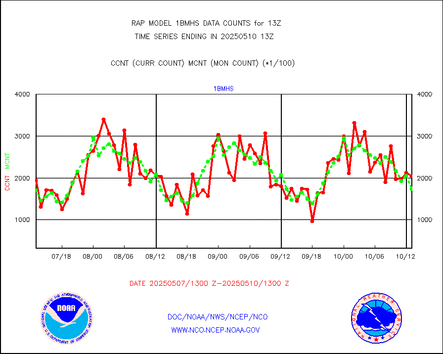
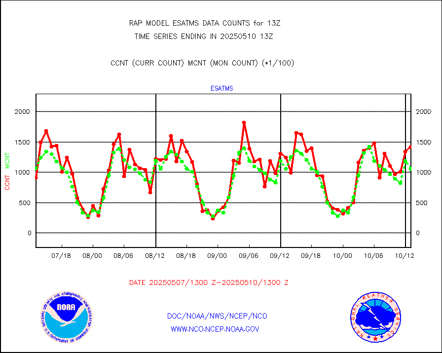
esatms |
NPP Adv. Tech. MW Sndr (ATMS) br. temps from RARS |
133804 |
98384 |
136.0 % |
2511.00-2514.99 |
eshrs3 |
NOAA 15-19 & METOP 1-2 HIRS-3/4 pr btmps frm RARS |
8866 |
23926 |
37.1 % |
2512.00-2514.00 |
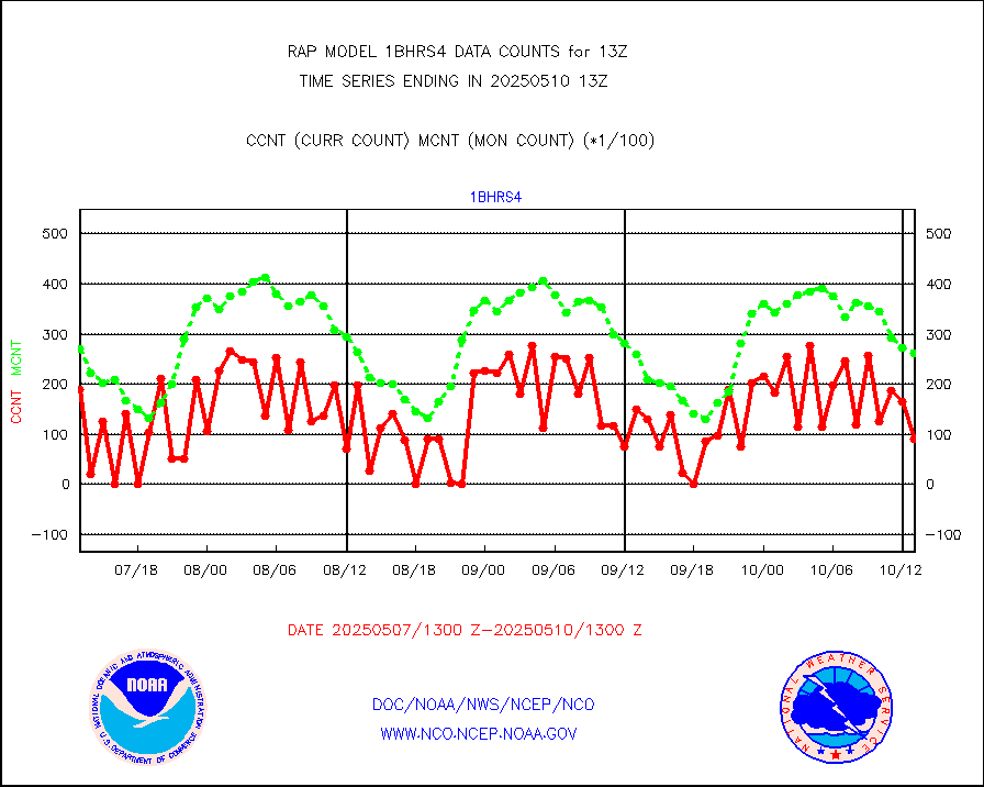
esiasi |
METOP 1-2 IASI 1C radiance data vbl chn from RARS |
108319 |
91733 |
118.1 % |
2511.00-2514.99 |
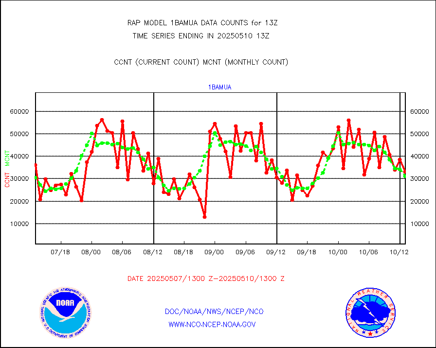
esmhs |
NOAA 18-19 & METOP 1-2 MHS proc. btemps from RARS |
46140 |
69819 |
66.1 % |
2512.00-2514.00 |
gmi1cr |
GPM GMI Level 1C-R brightness temperatures |
249280 |
789731 |
31.6 % |
2510.00-2515.99 |
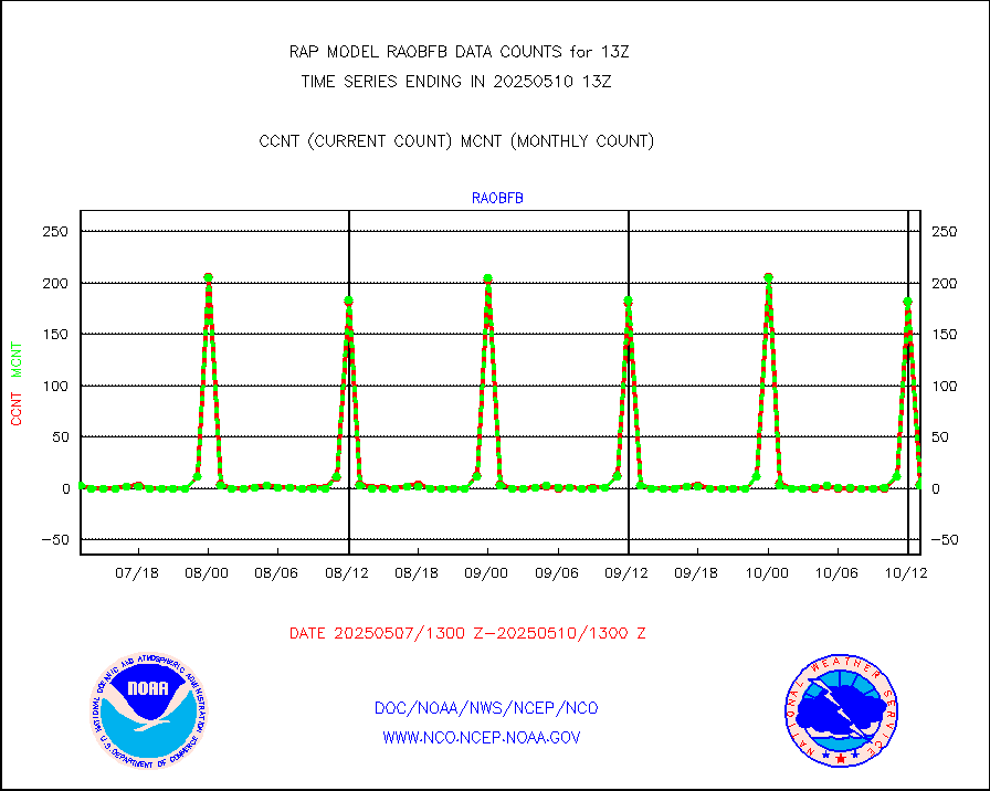
gpsro |
GPS radio occultation data |
135 |
107 |
126.2 % |
2511.00-2514.99 |
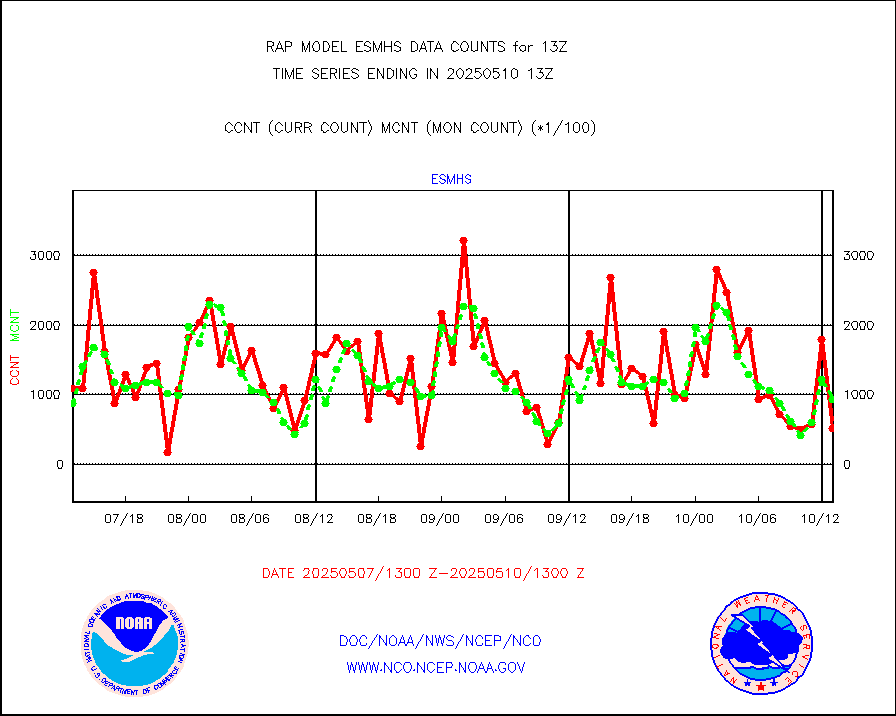
gsrasr |
GOES-16/17 All Sky Radiances (proc.) |
959492 |
937345 |
102.4 % |
2511.00-2514.99 |
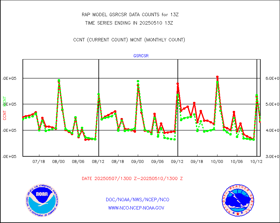
gsrcsr |
GOES-16/17 Clear Sky Radiances (proc.) |
463017 |
440393 |
105.1 % |
2511.00-2514.99 |
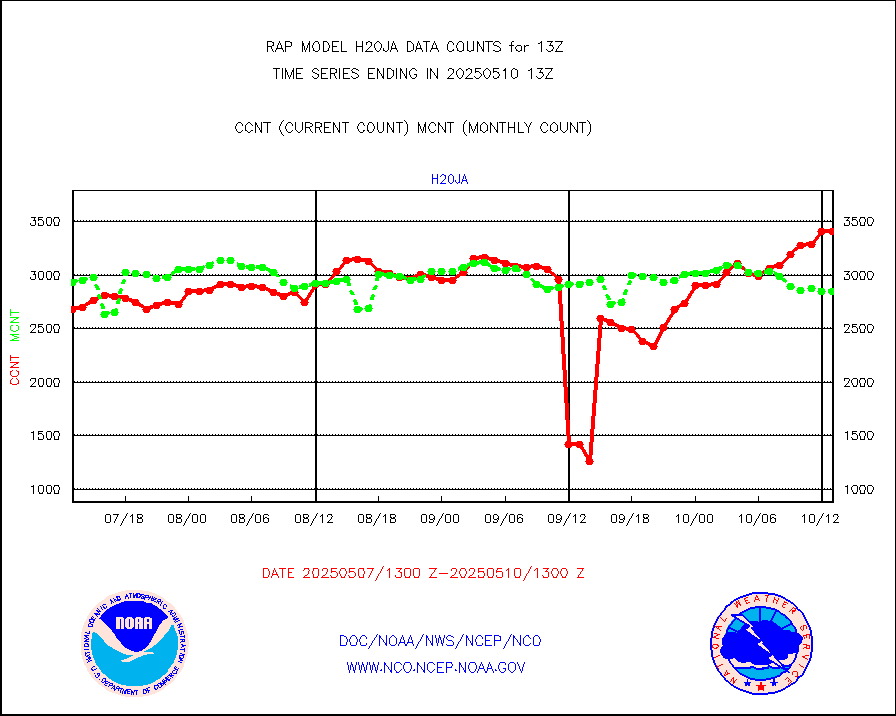
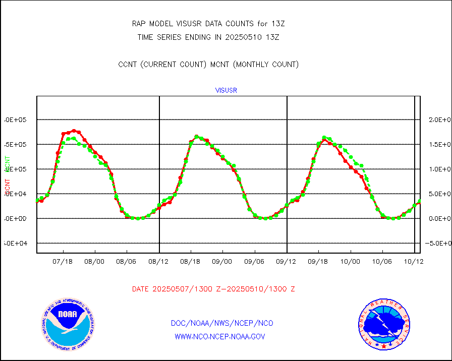
h20ja |
MTSAT/JMA water vapor imager derived cloud motion |
3200 |
2729 |
117.3 % |
2510.50-2515.50 |
h2dusr |
GOES-16&up/NESDIS wv imgr/deep-lyr derivd cld mtn |
7756 |
6115 |
126.8 % |
2512.00-2512.99 |
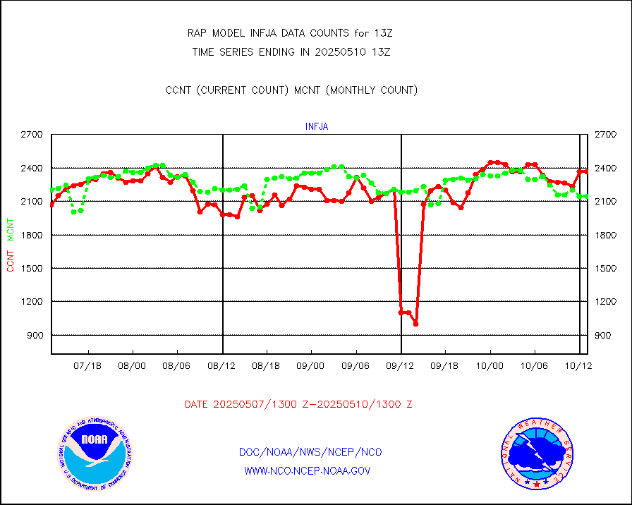
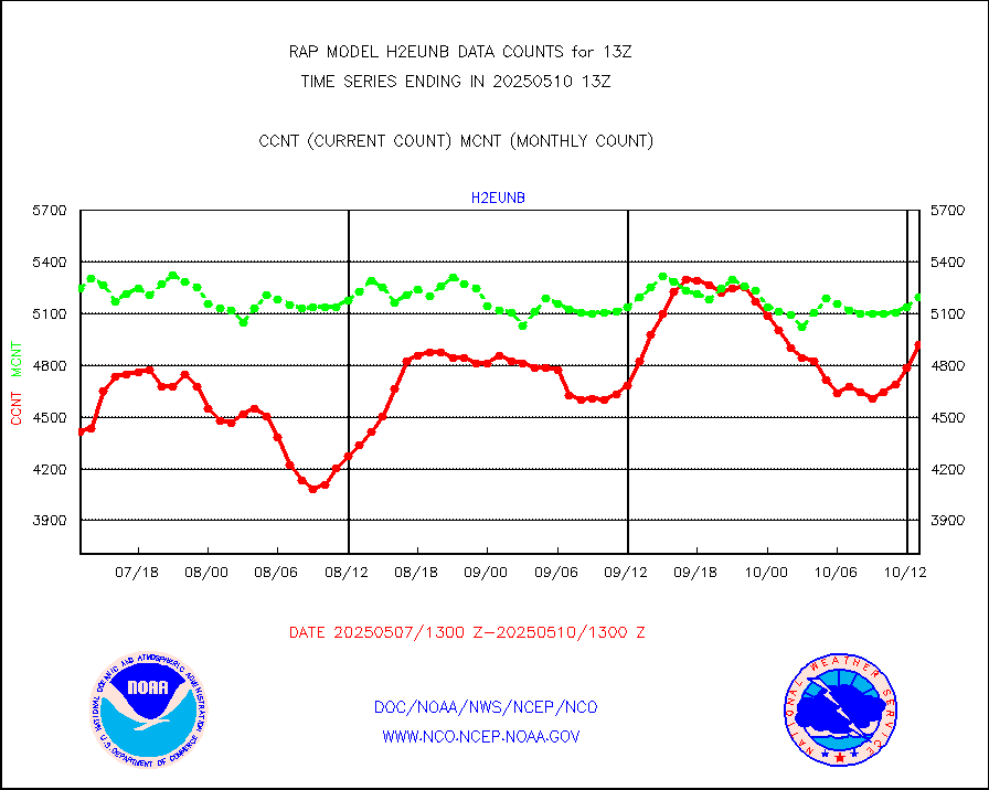
h2eunb |
METEOSAT/EUMETSAT wvpr imgr drv cld motion NBseq |
4325 |
5052 |
85.6 % |
2511.50-2514.49 |
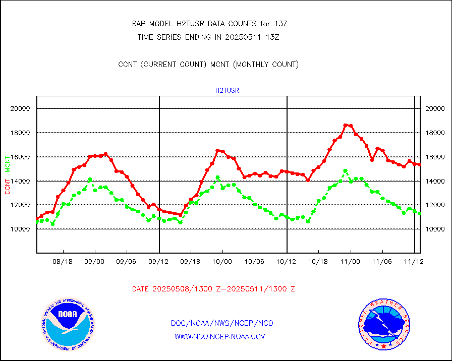
h2tusr |
GOES-16&up/NESDIS wv imgr/cld-top derived cld mtn |
10526 |
8906 |
118.2 % |
2512.00-2512.99 |
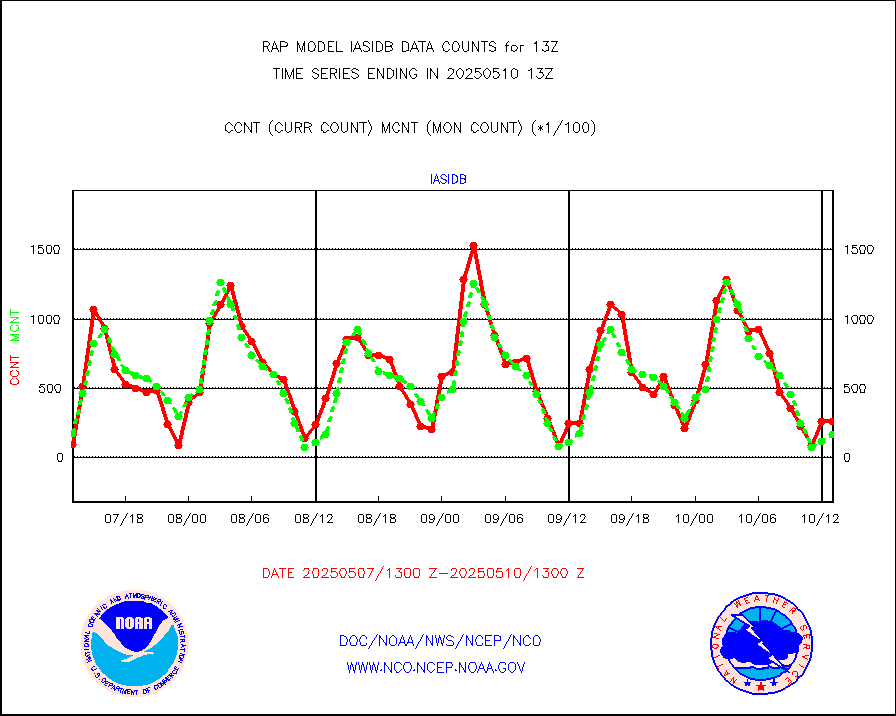
iasidb |
METOP 1-2 IASI 1C radiances-direct broadcast SSEC |
961 |
3952 |
24.3 % |
2511.00-2514.99 |
ifeunb |
METEOSAT/EUMETSAT ir lg-wave drv cld motion NBseq |
3396 |
3241 |
104.8 % |
2511.50-2514.49 |
ifvrnb |
VIIRS (NPP/NOAA-20) ir lg-wv drv cloud motion(NB) |
0 |
0 |
n/a |
2510.50-2515.50 |
infav |
AVHRR (NOAA/METOP) ir lg-wave derived cld motion |
0 |
1 |
0.0 % |
2510.50-2515.50 |
infav1 |
AVHRR (METOP) ir lg-wave derived cld motion |
0 |
0 |
n/a |
2511.50-2514.49 |
infja |
MTSAT/JMA infrared long-wave derived cloud motion |
3043 |
2370 |
128.4 % |
2510.50-2515.50 |
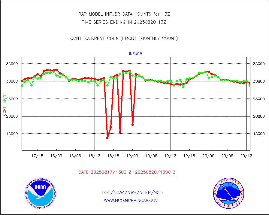
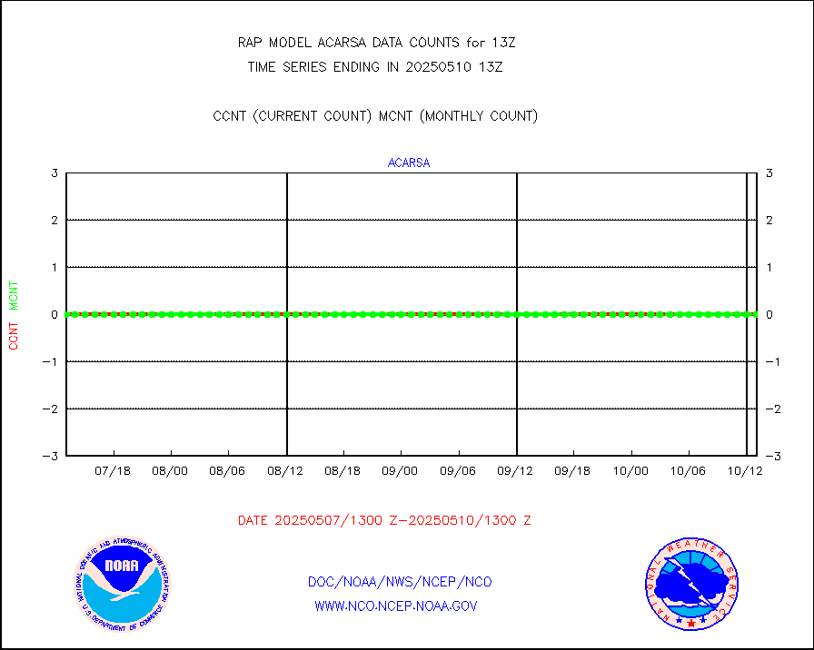
infusr |
GOES-16&up/NESDIS ir long-wave derived cld motion |
32668 |
29749 |
109.8 % |
2512.00-2512.99 |
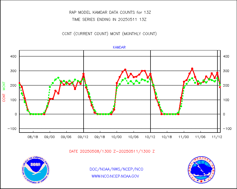
kamdar |
Korean AMDAR aircraft data (decoded from BUFR) |
146 |
280 |
52.1 % |
2509.75-2516.25 |
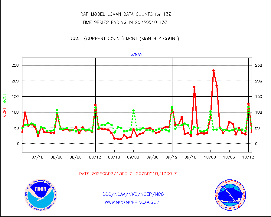
lcman |
Land-based CMAN stations decoded from CMAN format |
70 |
81 |
86.4 % |
2512.50-2513.50 |
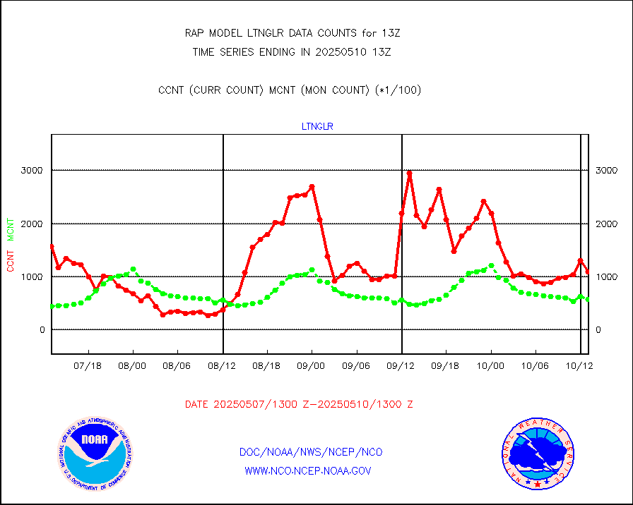
ltnglr |
LLDN Long-rng lightning from Vaisala via NOAAPORT |
38994 |
36886 |
105.7 % |
2512.00-2513.50 |
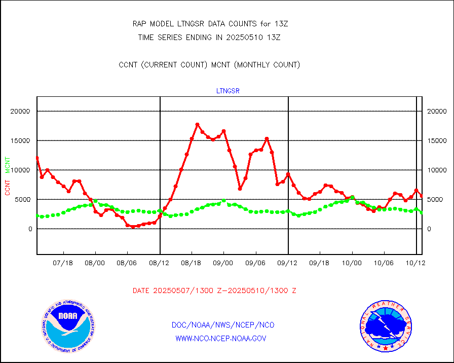
ltngsr |
NLDN Shrt-rng lightning from Vaisala via NOAAPORT |
2018 |
1892 |
106.7 % |
2512.00-2513.50 |
mbuoyb |
Moored buoys (decoded from BUFR) |
543 |
467 |
116.3 % |
2512.50-2513.50 |
mso470 |
Mesonet/MADIS Colorado E-470 (Interstate 470) |
21 |
18 |
116.7 % |
2512.50-2513.50 |
msoalk |
Mesonet/MADIS Alaska Department of Transportation |
104 |
103 |
101.0 % |
2512.50-2513.50 |
msoapg |
Mesonet/MADIS U.S. Army Aberdeen Proving Grounds |
0 |
0 |
n/a |
2512.50-2513.50 |
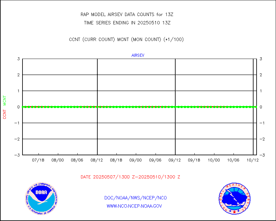
msoapr |
Mesonet/MADIS Citizen Weather Observers Program |
43657 |
44046 |
99.1 % |
2512.50-2513.50 |
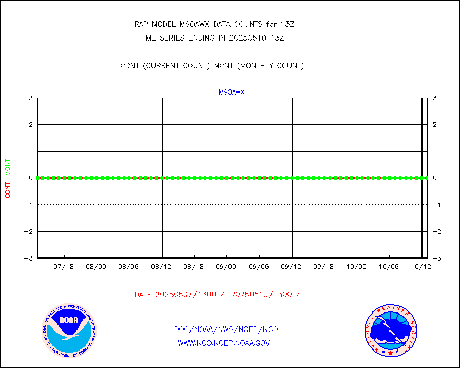
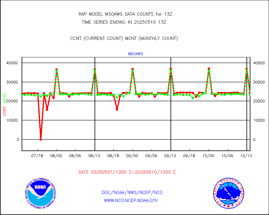
msoaws |
Mesonet/MADIS AWS Convergence Technologies, Inc. |
25825 |
25212 |
102.4 % |
2512.50-2513.50 |
msoawx |
Mesonet/MADIS "Anything Weather" |
0 |
0 |
n/a |
2512.50-2513.50 |
msocol |
Mesonet/MADIS Colorado Dept. of Transportation |
0 |
0 |
n/a |
2512.50-2513.50 |
msodcn |
Mesonet/MADIS DC Net |
0 |
0 |
n/a |
2512.50-2513.50 |
msoden |
Mesonet/MADIS Denver Urban Drainage & Flood Cntrl |
225 |
208 |
108.2 % |
2512.50-2513.50 |
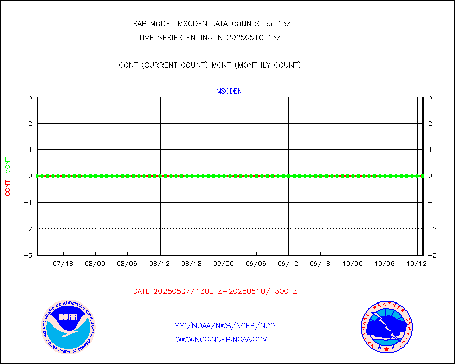
msofla |
Mesonet/MADIS Florida (FAWN & USF) |
3 |
3 |
100.0 % |
2512.50-2513.50 |
msoflt |
Mesonet/MADIS Florida Dept. of Transportation |
0 |
0 |
n/a |
2512.50-2513.50 |
msogeo |
Mesonet/MADIS Georgia Dept. of Transportation |
0 |
0 |
n/a |
2512.50-2513.50 |
msohad |
Mesonet/MADIS NWS Hydromet Auto Data System(HADS) |
5790 |
5304 |
109.2 % |
2512.50-2513.50 |
msoien |
Mesonet/MADIS Iowa Environmental |
177 |
168 |
105.4 % |
2512.50-2513.50 |
msoind |
Mesonet/MADIS Indiana Dept. of Transportation |
0 |
0 |
n/a |
2512.50-2513.50 |
msoiow |
Mesonet/MADIS Iowa Department of Transportation |
0 |
0 |
n/a |
2512.50-2513.50 |
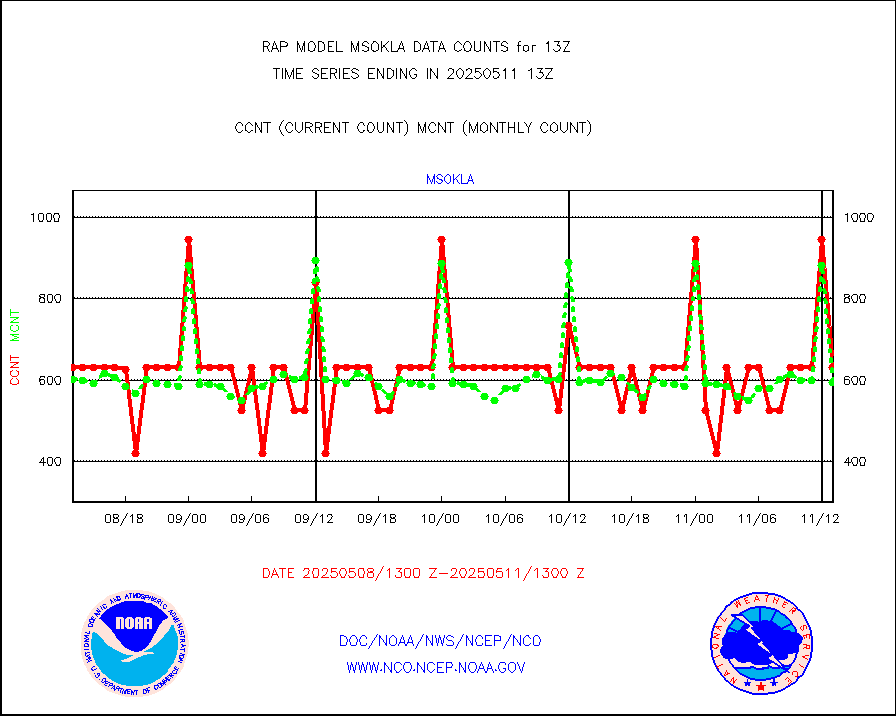
msokla |
Mesonet/MADIS Oklahoma Mesonet |
318 |
318 |
100.0 % |
2512.50-2513.50 |
msolju |
Mesonet/MADIS Louisiana State/Jackson State Univ. |
0 |
0 |
n/a |
2512.50-2513.50 |
msomca |
Mesonet/MADIS Missouri Commercial Agricult Wx Net |
267 |
249 |
107.2 % |
2512.50-2513.50 |
msomin |
Mesonet/MADIS Minnesota Dept. of Transportation |
0 |
0 |
n/a |
2512.50-2513.50 |
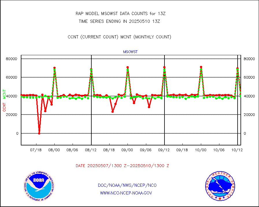
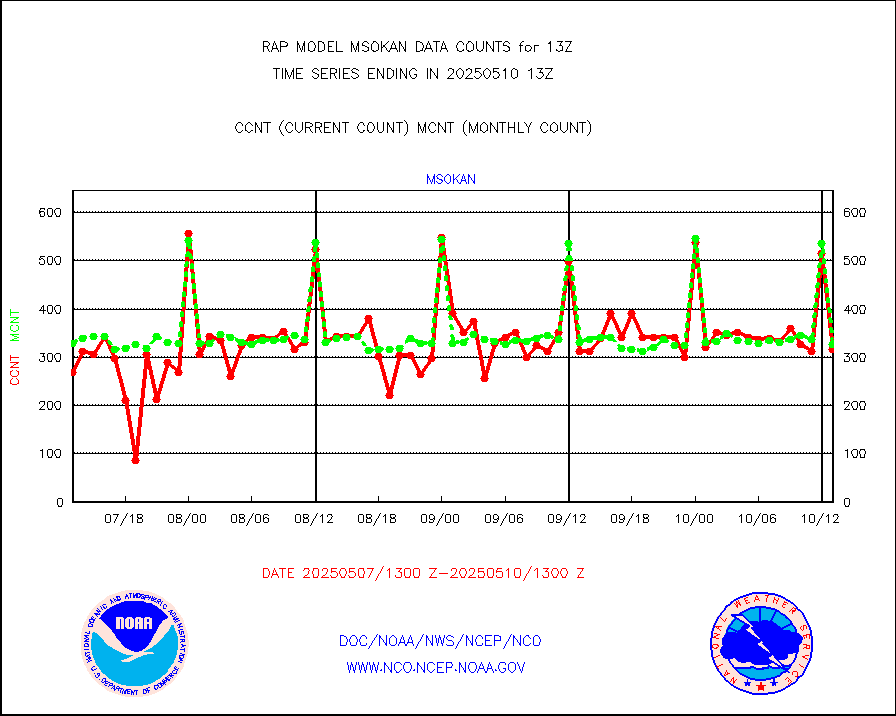
msonos |
Mesonet/MADIS NOS-Phys Oceanographic Realtime Sys |
285 |
260 |
109.6 % |
2512.50-2513.50 |
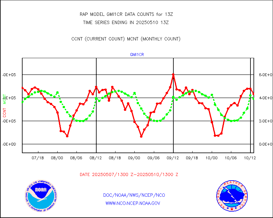
msoraw |
Mesonet/MADIS NFIC Remote Automated Wx Stns(RAWS) |
1669 |
1578 |
105.8 % |
2512.50-2513.50 |
msourb |
Mesonet/MADIS UrbaNet |
3934 |
3981 |
98.8 % |
2512.50-2513.50 |
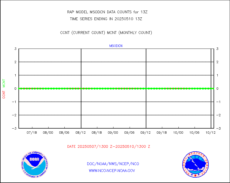
msovir |
Mesonet/MADIS Virginia Dept. of Transportation |
232 |
227 |
102.2 % |
2512.50-2513.50 |
msowfy |
Mesonet/MADIS "Weather for You" |
0 |
0 |
n/a |
2512.50-2513.50 |
msowis |
Mesonet/MADIS Wisconsin Dept. of Transportation |
0 |
0 |
n/a |
2512.50-2513.50 |
msowst |
Mesonet/MADIS MesoWest (many subproviders) |
40725 |
39904 |
102.1 % |
2512.50-2513.50 |
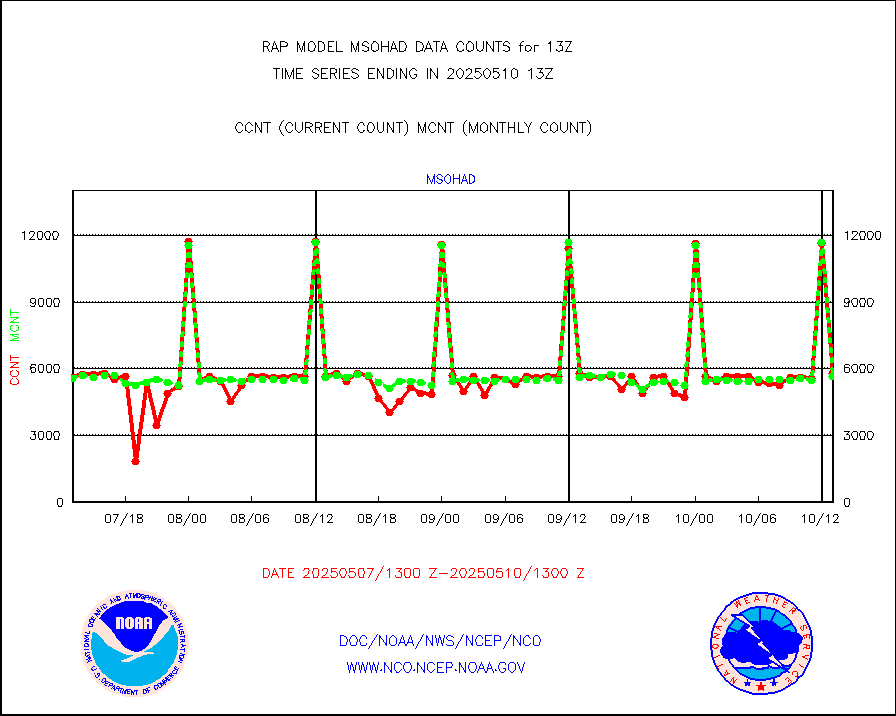
msowtx |
Mesonet/MADIS West Texas |
5033 |
4908 |
102.5 % |
2512.50-2513.50 |
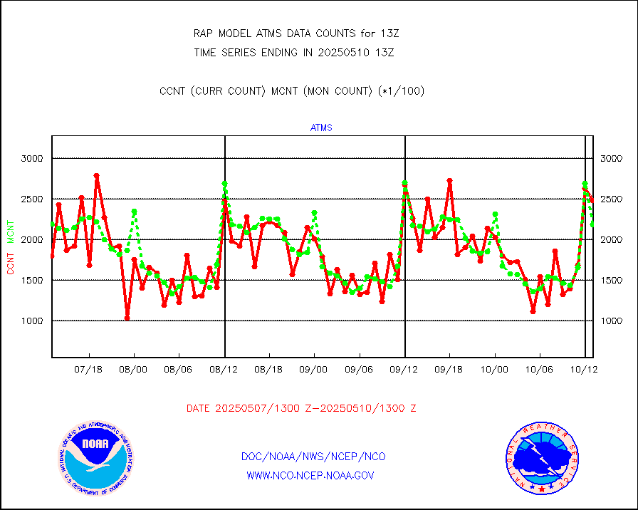
mtiasi |
METOP 1-2 IASI 1C radiance data (varbl. channels) |
26583 |
19576 |
135.8 % |
2511.00-2514.99 |
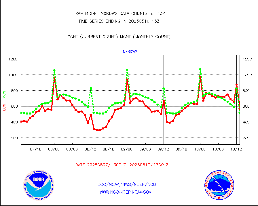
nxrdw2 |
NEXRAD Vel Azm Dsp(VAD) winds via Level 2 decoder |
542 |
544 |
99.6 % |
2512.00-2514.00 |
osbuv8 |
NOAA 16-19 Solar Backscatter UV-2 rad frm V8 BUFR |
0 |
0 |
n/a |
2511.00-2513.99 |
pibal |
PIBAL (from PILOT, PILOT SHIP, PILOT MOBIL) |
0 |
0 |
n/a |
2512.00-2514.00 |
pirep |
Manual PIREP aircraft data (dcded from AIREP fmt) |
210 |
409 |
51.3 % |
2509.75-2516.25 |
prflrp |
Profilr winds from PIBAL (PILOT,PILOT SHIP/MOBIL) |
0 |
0 |
n/a |
2511.50-2514.50 |
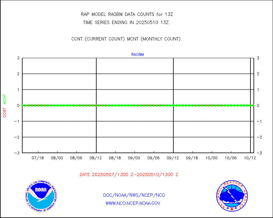
raobm |
Rawinsonde - mobile land (from TEMP/PILOT MOBIL) |
0 |
0 |
n/a |
2512.00-2514.00 |
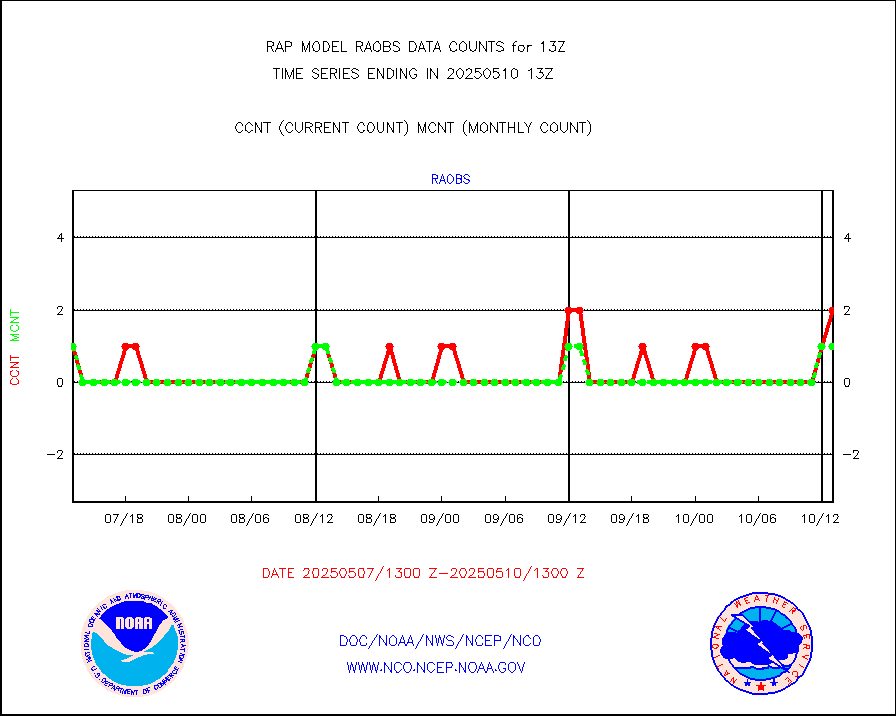
raobs |
Rawinsonde - ship (from TEMP SHIP, PILOT SHIP) |
3 |
2 |
150.0 % |
2512.00-2514.00 |
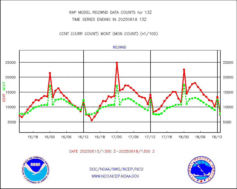
rd2wnd |
NEXRAD radial wind (Level 2 - GTS) |
690063 |
616089 |
112.0 % |
2512.50-2513.49 |
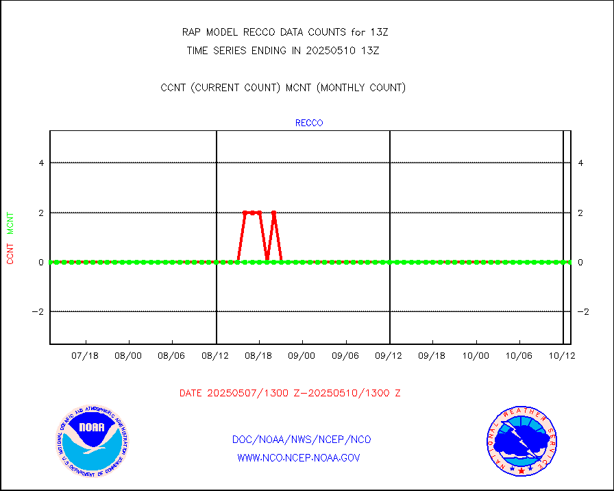
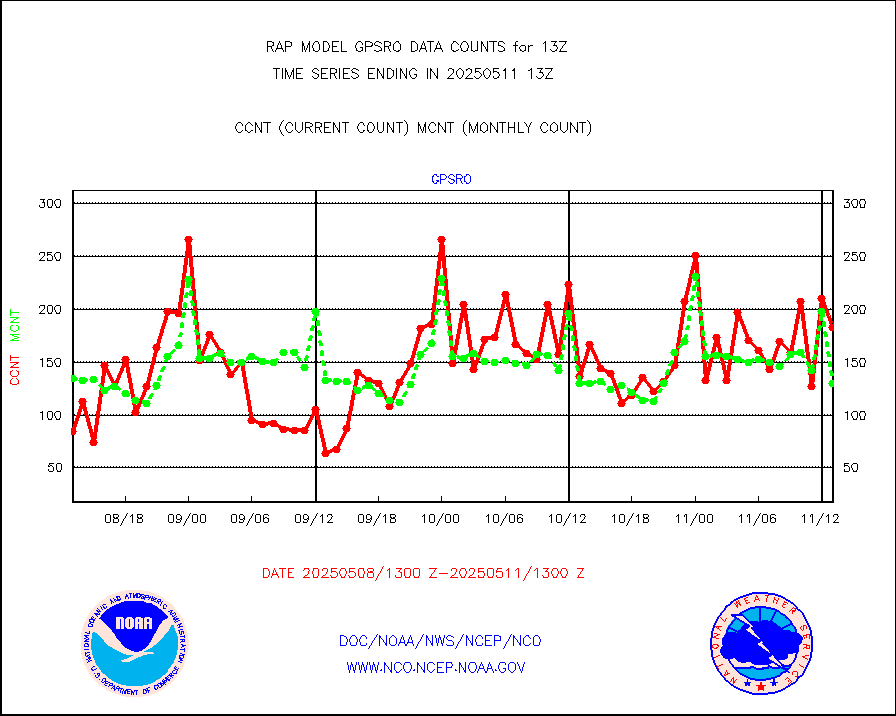
recco |
Flight level reconnaissance aircraft data |
0 |
0 |
n/a |
2512.00-2514.00 |
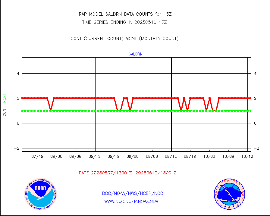
saldrn |
Surface Marine Saildrone (decoded from BUFR) |
2 |
2 |
100.0 % |
2511.00-2514.99 |
saphir |
Megha-Tropiques SAPHIR L1A2 brightness temps |
0 |
0 |
n/a |
2510.00-2515.99 |
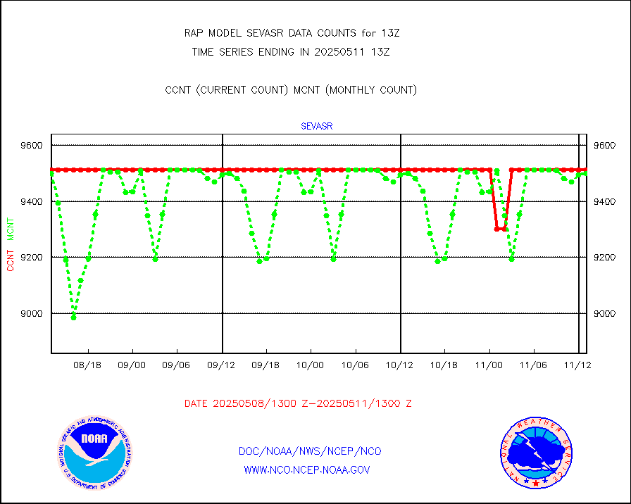
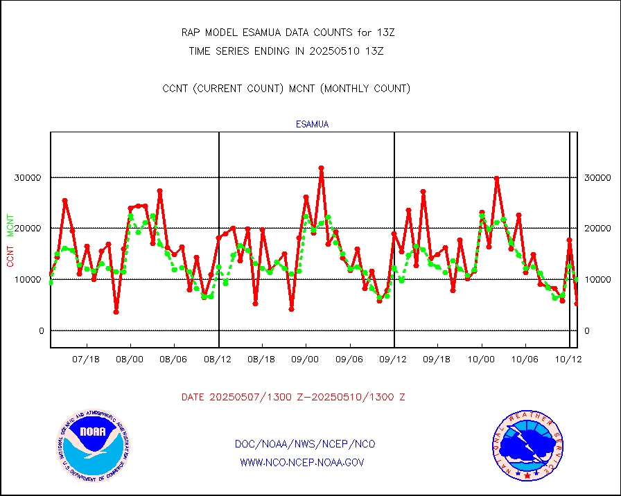
sevasr |
METEOSAT-10 2nd Gen SEVIRI All Sky Radiance(proc) |
9512 |
9512 |
100.0 % |
2511.00-2514.99 |
sevcsr |
METEOSAT-10 2nd Gen SEVIRI Clr Sky Radiance(proc) |
0 |
0 |
n/a |
2511.00-2514.99 |
ships |
Ship - manual and automatic, restricted |
0 |
3 |
0.0 % |
2512.50-2513.50 |
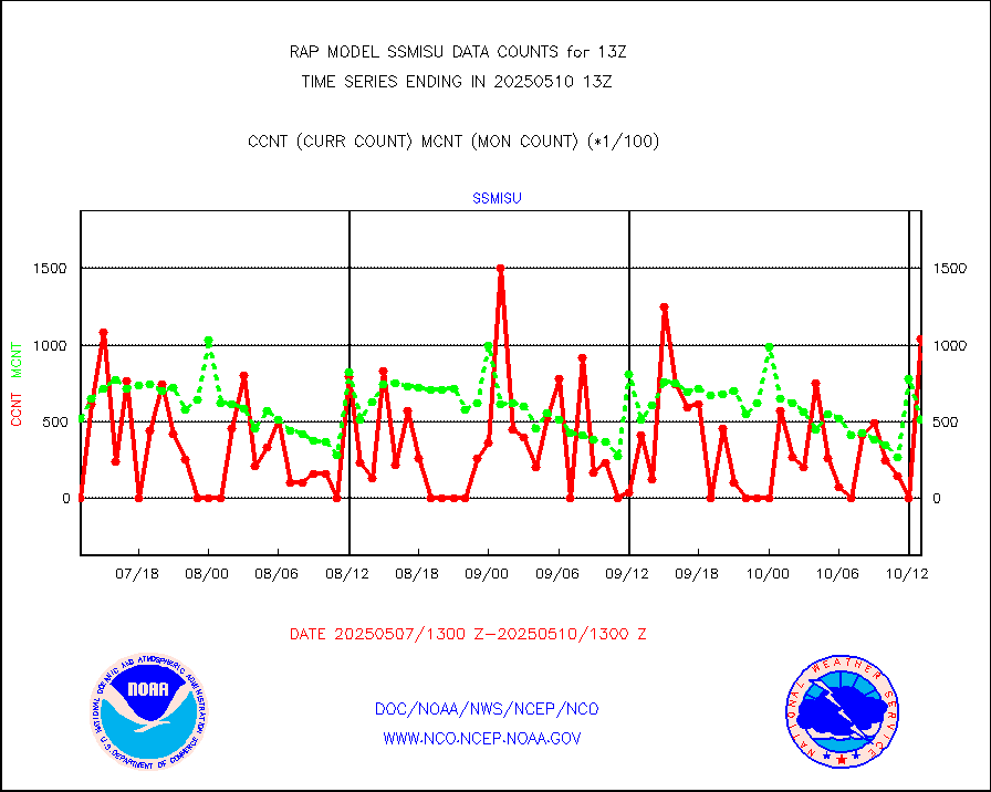
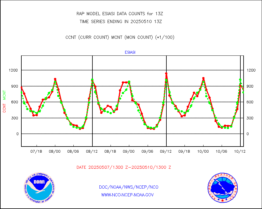
ssmisu |
DMSP SSM/IS 1C radiance data (Unified Pre-Proc.) |
22128 |
35048 |
63.1 % |
2511.00-2514.99 |
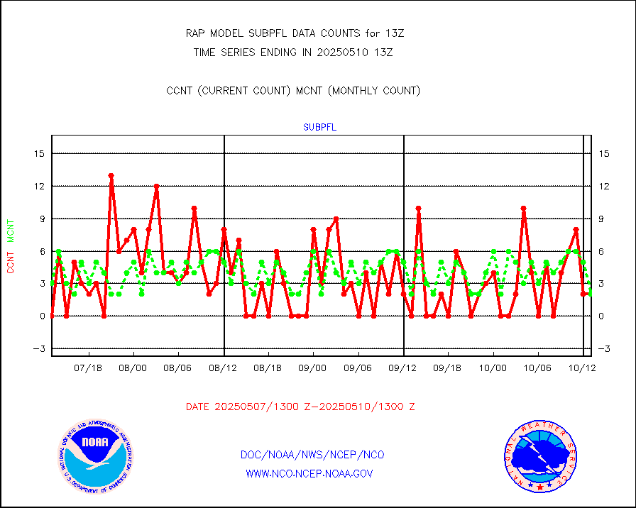
subpfl |
Sub-surface float and glider profile (BUFR) |
0 |
6 |
0.0 % |
2511.00-2514.99 |
synopr |
Synoptic - restricted (WMO Res 40) manual & auto. |
0 |
0 |
n/a |
2512.50-2513.50 |
synpbr |
Synoptic - restricted (WMO Res 40)(decoded BUFR) |
440 |
430 |
102.3 % |
2512.50-2513.50 |
synpmb |
Synoptic - mobile manual & auto (decoded fr BUFR) |
0 |
0 |
n/a |
2512.50-2513.50 |
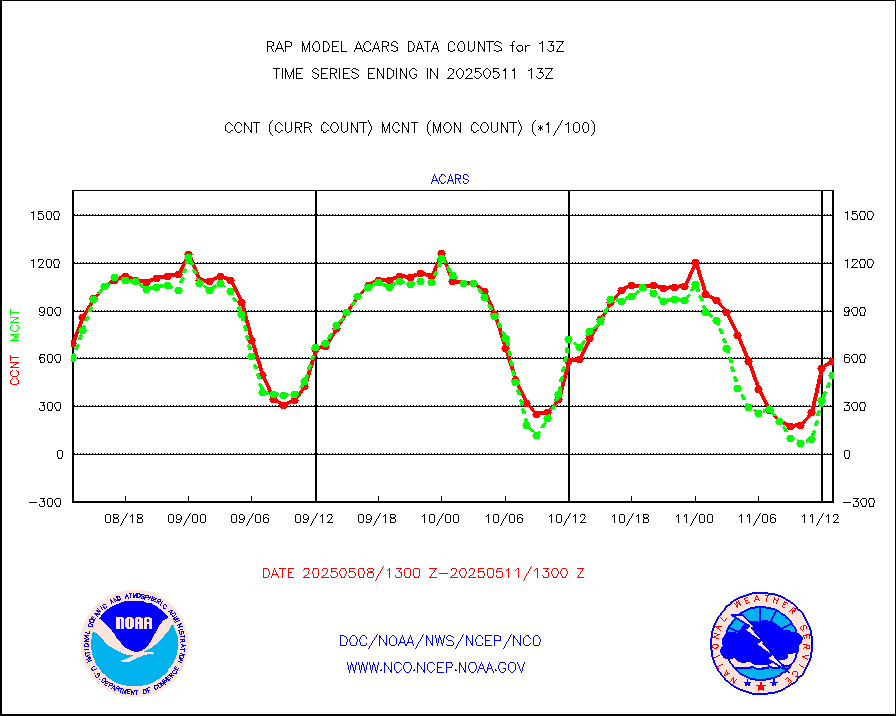
tmdara |
TAMDAR aircft data-all types(from Panasonic,BUFR) |
1430 |
1462 |
97.8 % |
2509.75-2516.25 |
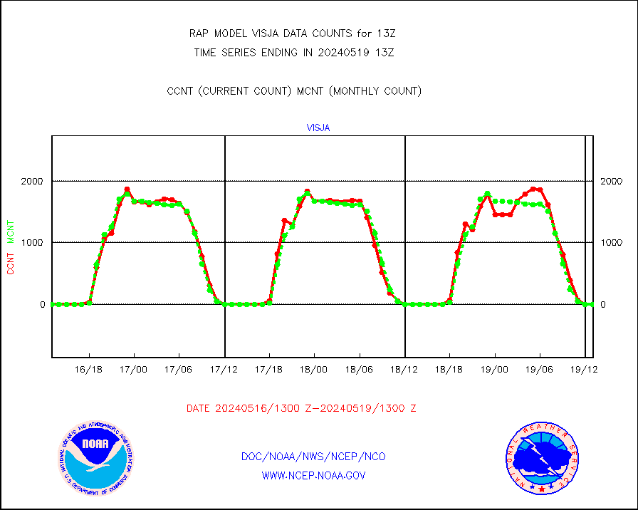
visja |
MTSAT/JMA visible derived cloud motion |
0 |
0 |
n/a |
2510.50-2515.50 |
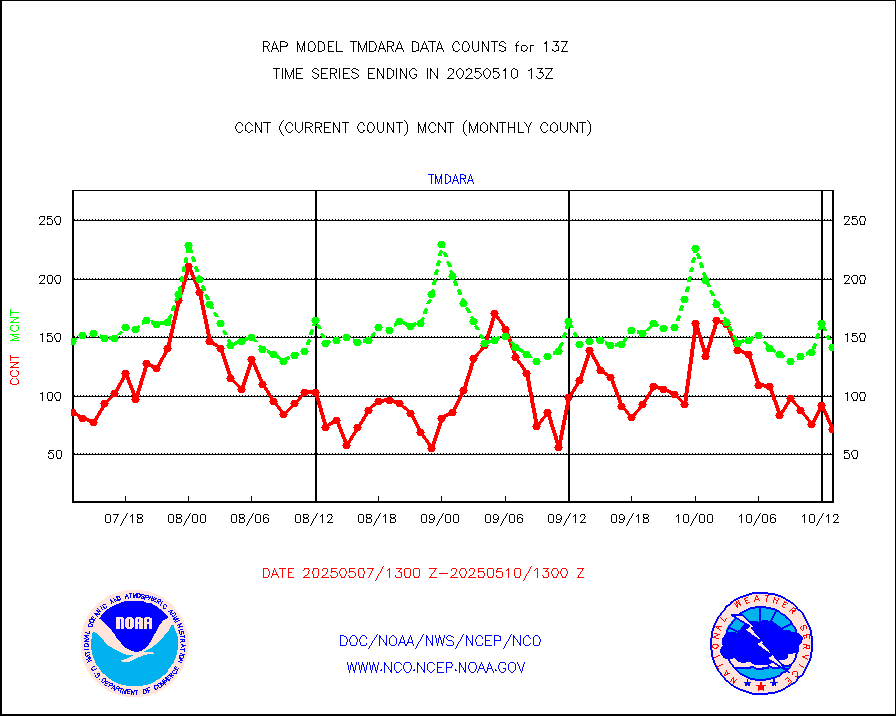
visusr |
GOES-16&up/NESDIS visible derived cloud motion |
41346 |
34994 |
118.2 % |
2512.00-2512.99 |
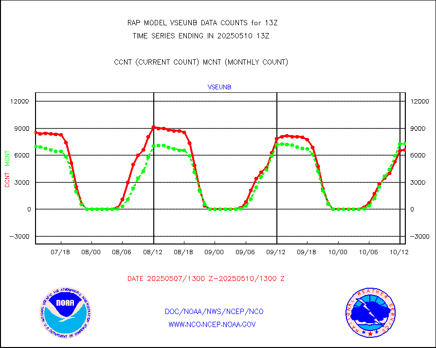
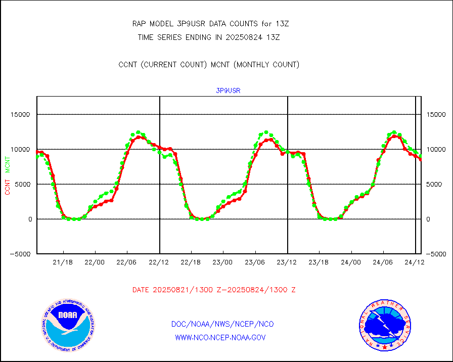
vseunb |
METEOSAT/EUMETSAT visible drv cld motion NBseq |
8947 |
6593 |
135.7 % |
2511.50-2514.49 |


