| Critical Data with Normal Counts |
|---|
| Type | Description | Hourly Count | Monthly Average | Percent (%) of Monthly Mean | UTC Time Window |
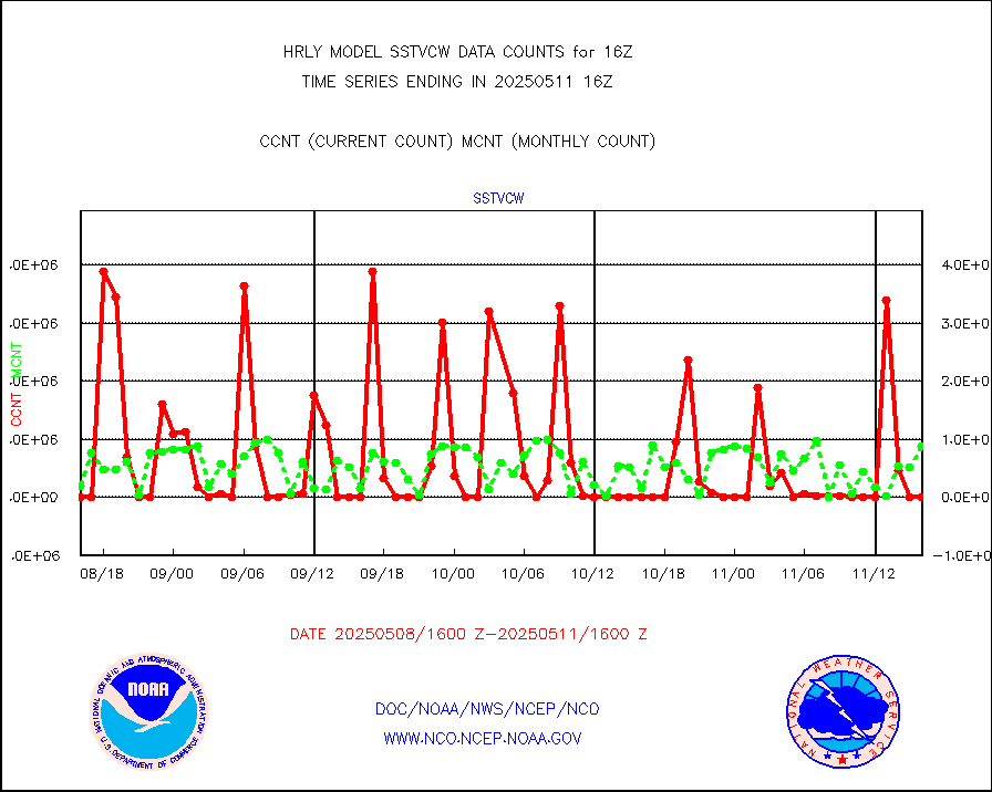
1bamua |
NOAA 15-19 & METOP 1-2 AMSU-A NCEP-proc. br.temps |
57619 |
53428 |
107.8 % |
2314.00-2314.99 |
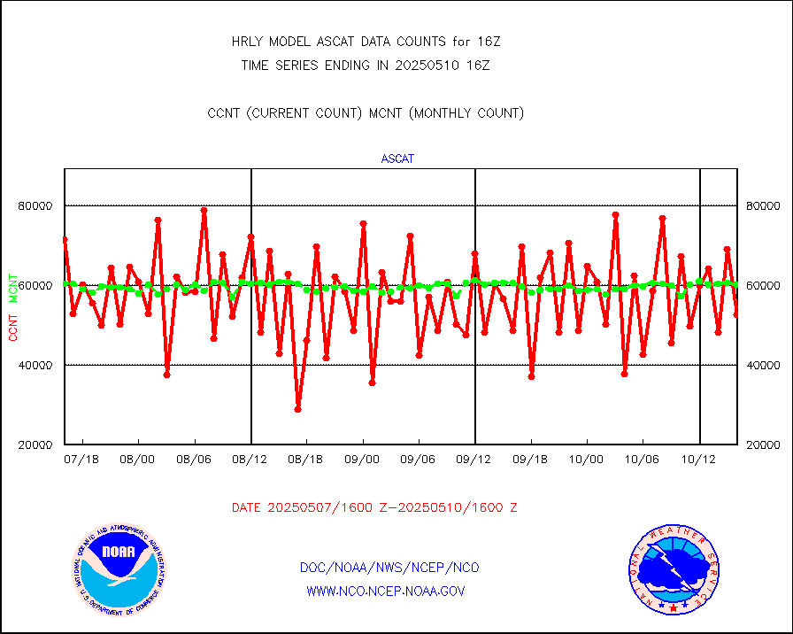
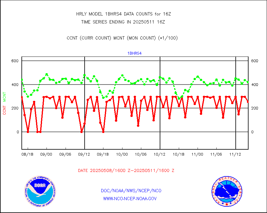
1bhrs4 |
NOAA 18-19 & METOP 1-2 HIRS-4 NCEP-proc. br.temps |
59242 |
44843 |
132.1 % |
2314.00-2314.99 |
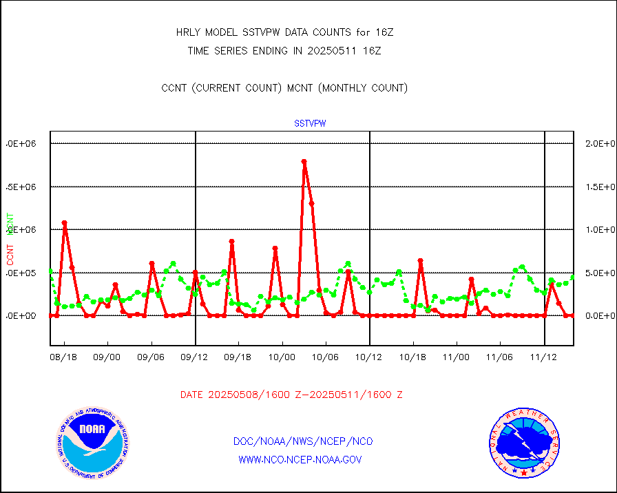
1bmhs |
NOAA 18-19 & METOP 1-2 MHS NCEP-proces. br. temps |
309458 |
299289 |
103.4 % |
2314.00-2314.99 |
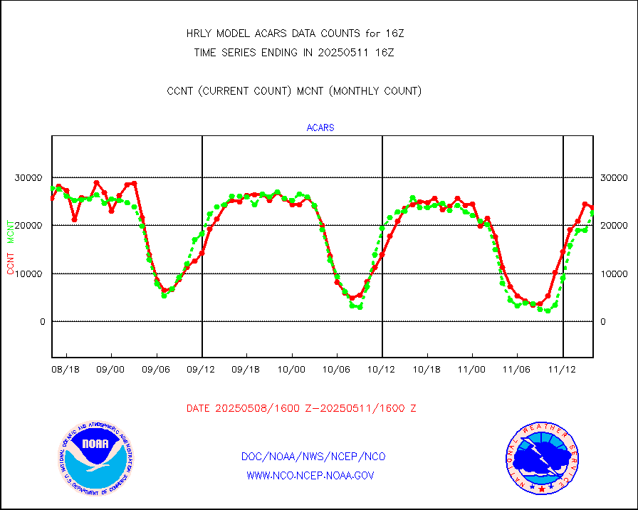
acars |
MDCRS ACARS acft data from ARINC(dcded from BUFR) |
25047 |
23300 |
107.5 % |
2315.50-2316.49 |
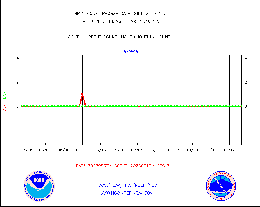
airep |
Manual AIREP aircraft data (dcded from AIREP fmt) |
1040 |
1089 |
95.5 % |
2315.50-2316.49 |
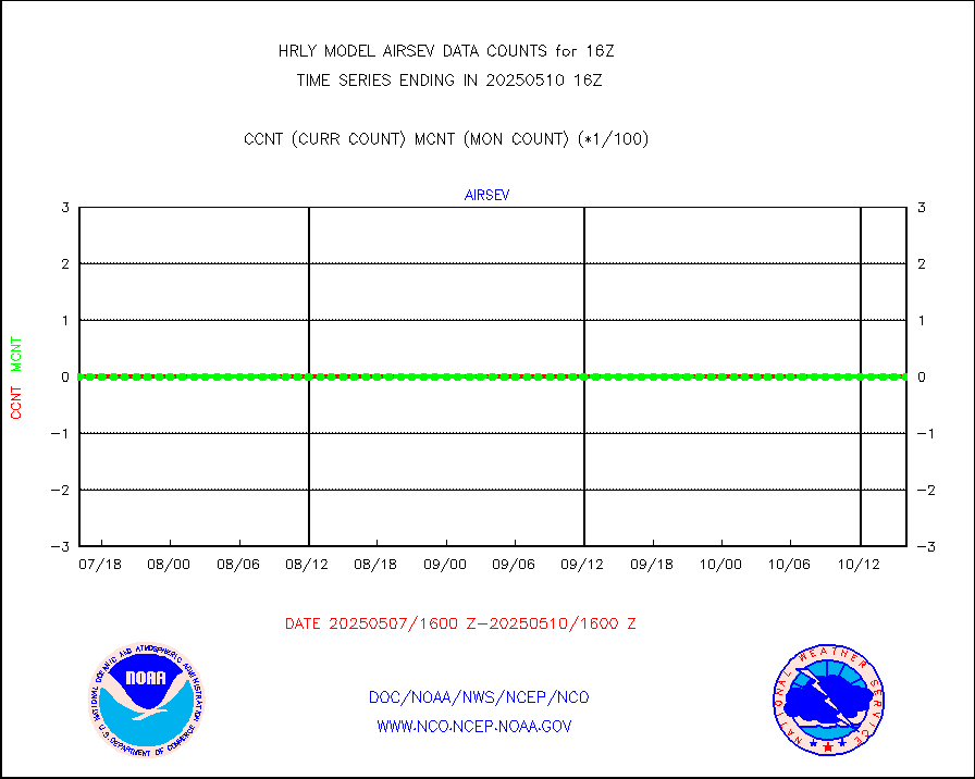
airsev |
AQUA AIRS/AMSU-A/HSB brightness temps- every FOV |
0 |
0 |
n/a |
2313.50-2314.49 |
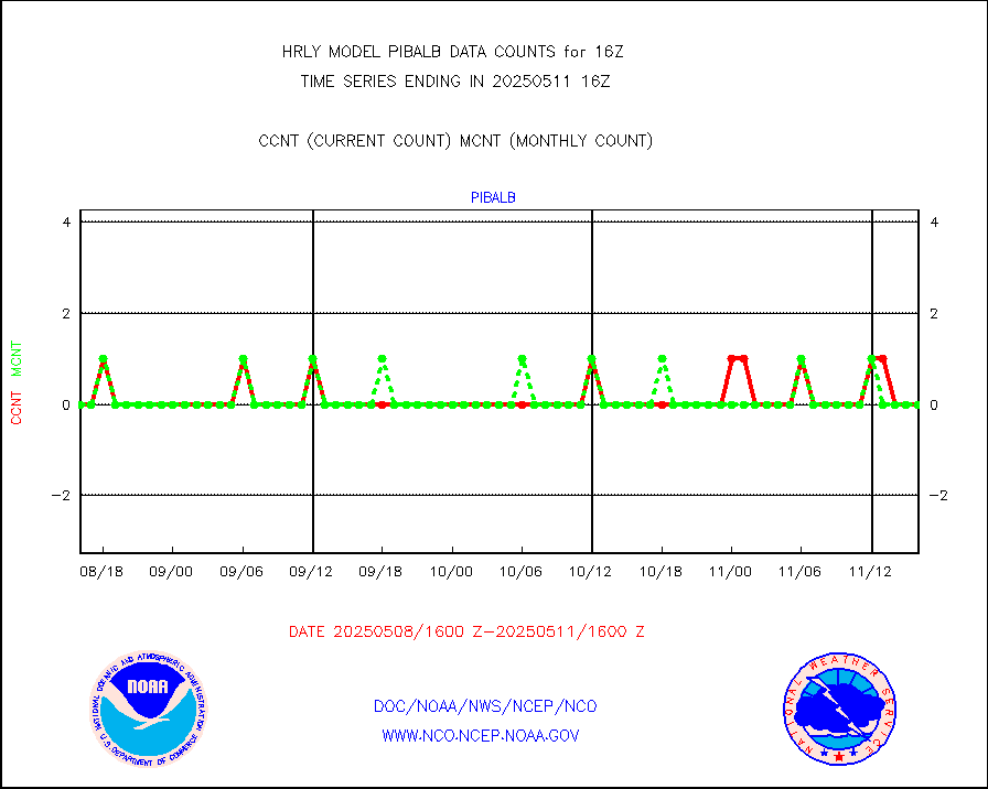
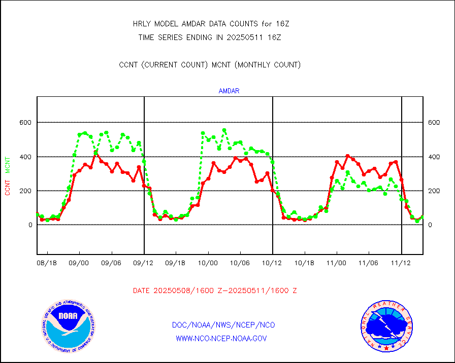
amdar |
AMDAR aircraft data (decoded from AMDAR format) |
68 |
40 |
170.0 % |
2315.50-2316.49 |
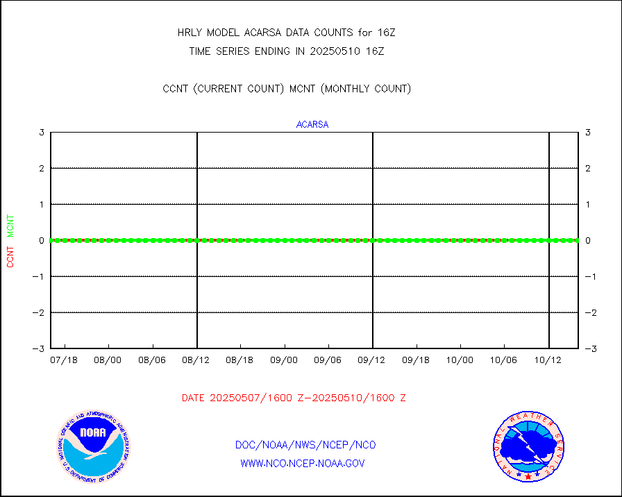
amdarb |
AMDAR aircraft data (decoded from BUFR) |
469 |
356 |
131.7 % |
2315.50-2316.49 |
ascat |
METOP 1-2 ASCAT products |
29064 |
35361 |
82.2 % |
2314.50-2315.49 |
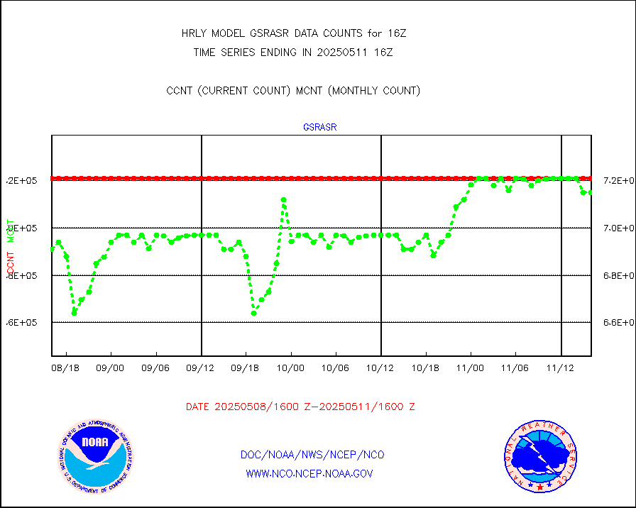
atms |
NPP/NOAA-20 ATMS brightness temperatures |
375840 |
335414 |
112.1 % |
2314.50-2315.49 |
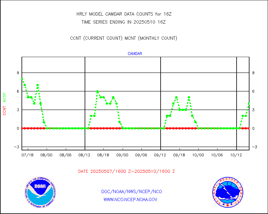
camdar |
Canadian AMDAR aircraft data (decoded from BUFR) |
48 |
30 |
160.0 % |
2315.50-2316.49 |
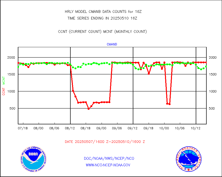
cmanb |
Surface Marine CMAN rpts decoded from BUFR format |
1773 |
1768 |
100.3 % |
2315.50-2316.50 |
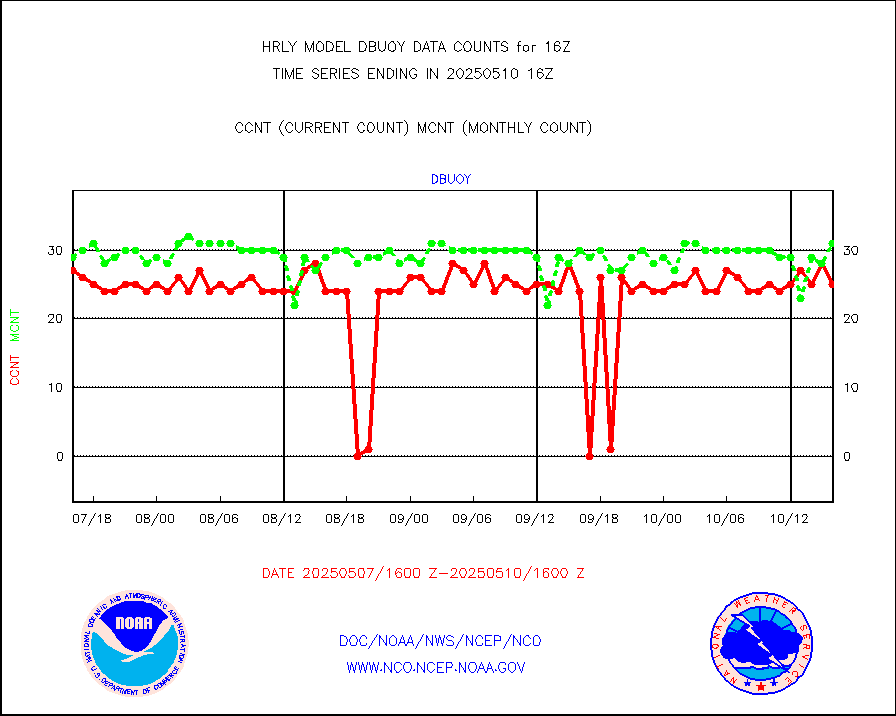
dbuoy |
Buoys decoded from FM-18 fmt (moored or drifting) |
40 |
24 |
166.7 % |
2315.50-2316.49 |
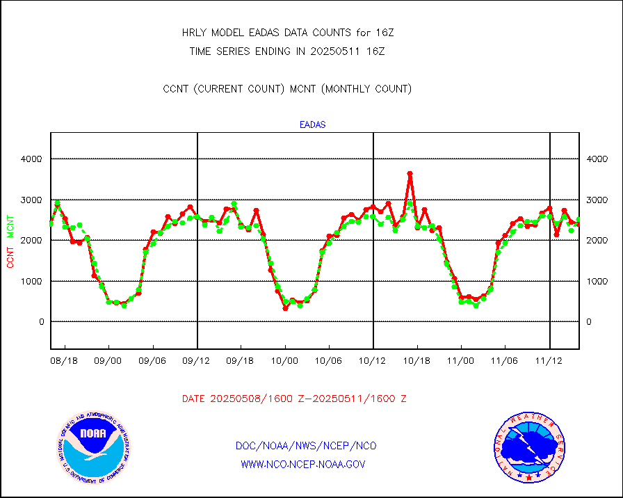
eadas |
E-AMDAR (European AMDAR acft decoded from BUFR) |
1850 |
1806 |
102.4 % |
2315.50-2316.49 |
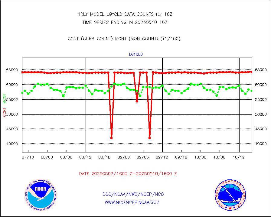
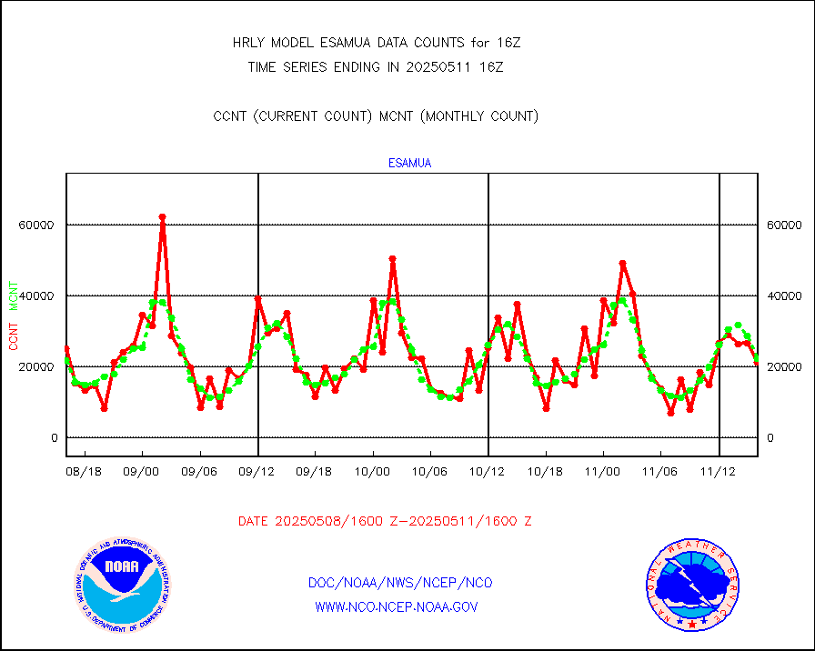
esamua |
NOAA 15-19 & METOP 1-2 AMSU-A proc btmps frm RARS |
27464 |
24213 |
113.4 % |
2315.50-2316.49 |
eshrs3 |
NOAA 15-19 & METOP 1-2 HIRS-3/4 pr btmps frm RARS |
60041 |
55205 |
108.8 % |
2315.50-2316.49 |
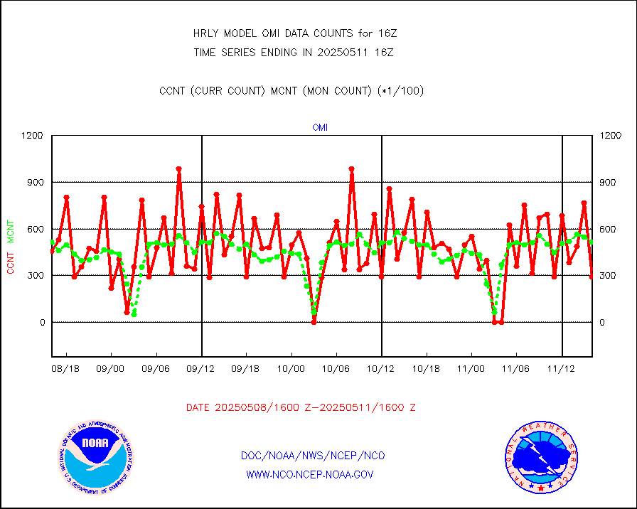
gnss |
Grnd-based Gbl Navigation Sat System (GNSS) data |
9649 |
8280 |
116.5 % |
2315.00-2315.99 |
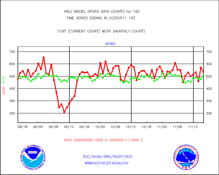
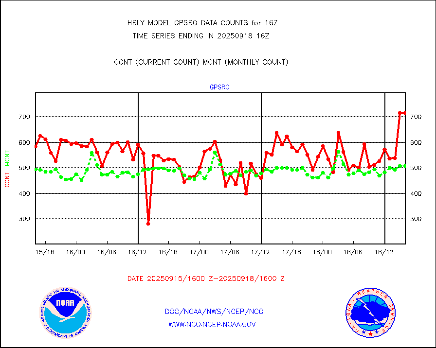
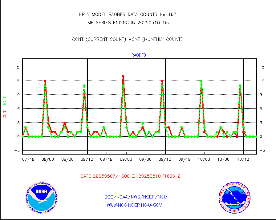
gpsro |
GPS radio occultation data |
374 |
428 |
87.4 % |
2313.50-2314.49 |
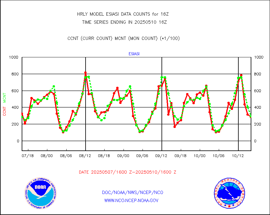
gsrasr |
GOES-16/17 All Sky Radiances (proc.) |
360476 |
342452 |
105.3 % |
2315.50-2316.49 |
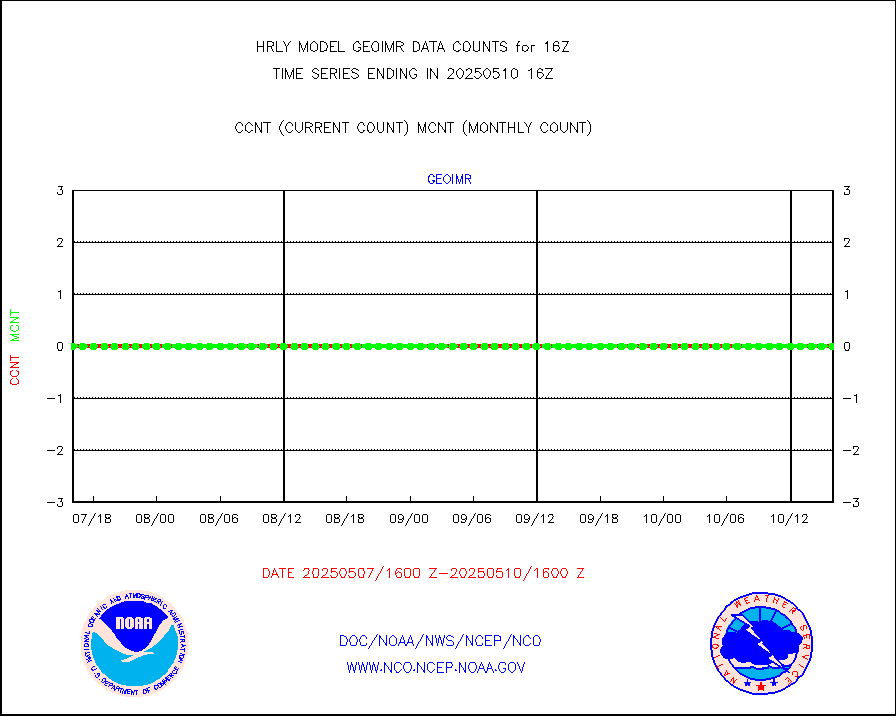
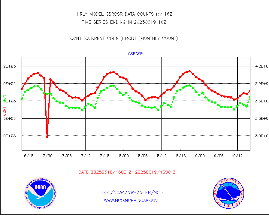
gsrcsr |
GOES-16/17 Clear Sky Radiances (proc.) |
196132 |
168342 |
116.5 % |
2315.50-2316.49 |
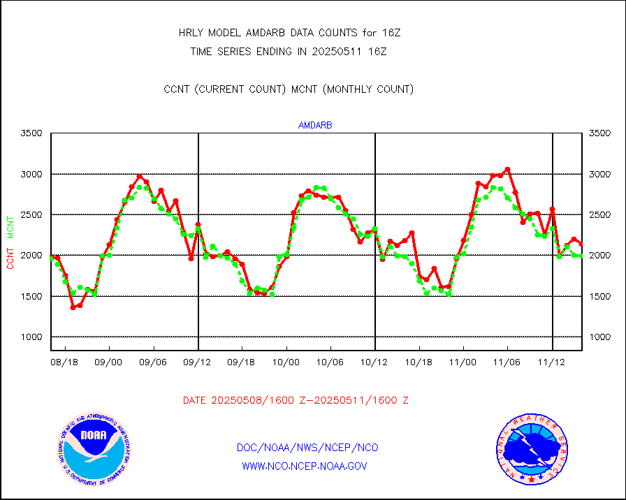
h20ja |
MTSAT/JMA water vapor imager derived cloud motion |
18033 |
15136 |
119.1 % |
2313.50-2314.49 |
h20mo |
MODIS (AQUA/TERRA) wvpr imager derived cld motion |
0 |
0 |
n/a |
2312.00-2312.99 |
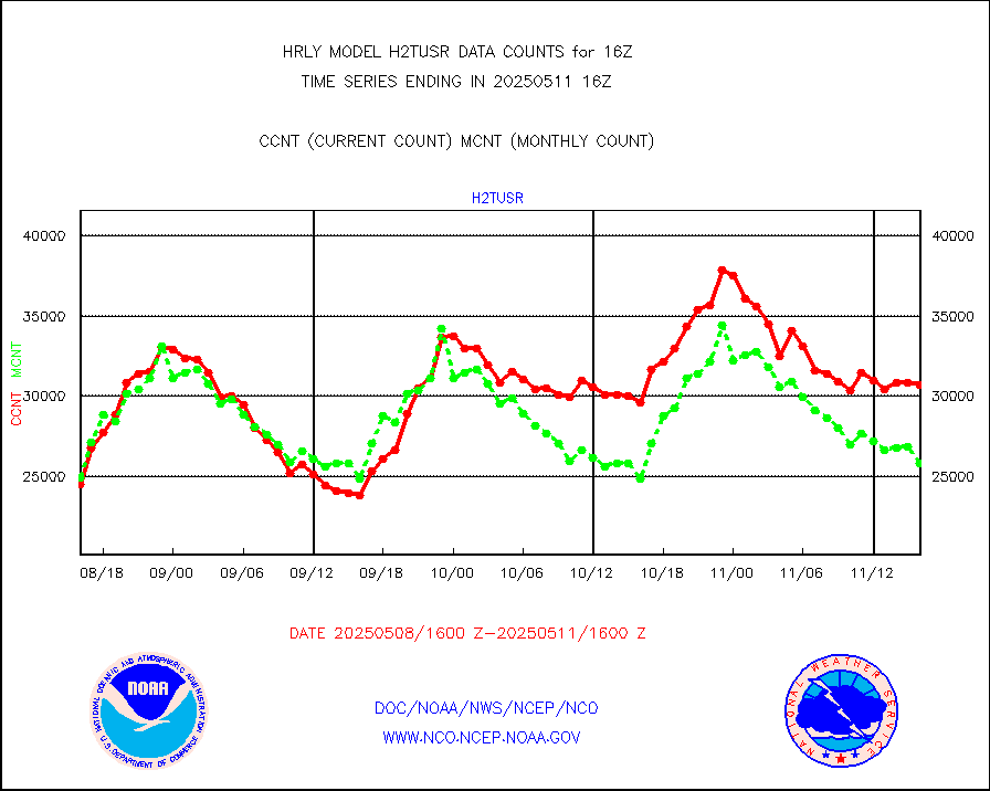
h2tusr |
GOES-16&up/NESDIS wv imgr/cld-top derived cld mtn |
24577 |
24486 |
100.4 % |
2315.00-2315.99 |
ifeunb |
METEOSAT/EUMETSAT ir lg-wave drv cld motion NBseq |
22325 |
22824 |
97.8 % |
2314.50-2315.49 |
infja |
MTSAT/JMA infrared long-wave derived cloud motion |
16800 |
12316 |
136.4 % |
2313.50-2314.49 |
infmo |
MODIS (AQUA/TERRA) ir l-wave derived cloud motion |
0 |
0 |
n/a |
2312.00-2312.99 |
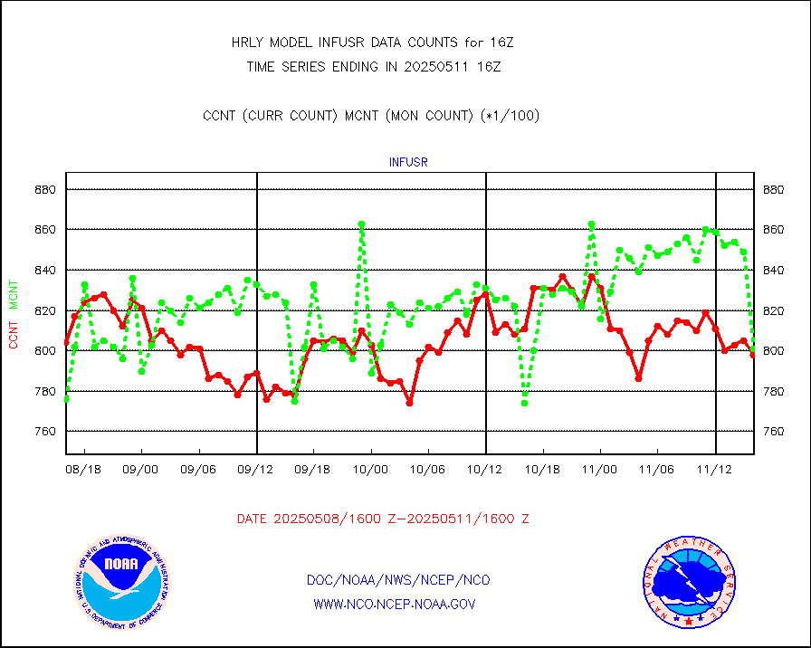
infusr |
GOES-16&up/NESDIS ir long-wave derived cld motion |
81271 |
79280 |
102.5 % |
2315.00-2315.99 |
lgycld |
GOES/NASA(Langley) hi-res. (1x1 f-o-v) cloud data |
4189047 |
3499292 |
119.7 % |
2315.50-2316.49 |
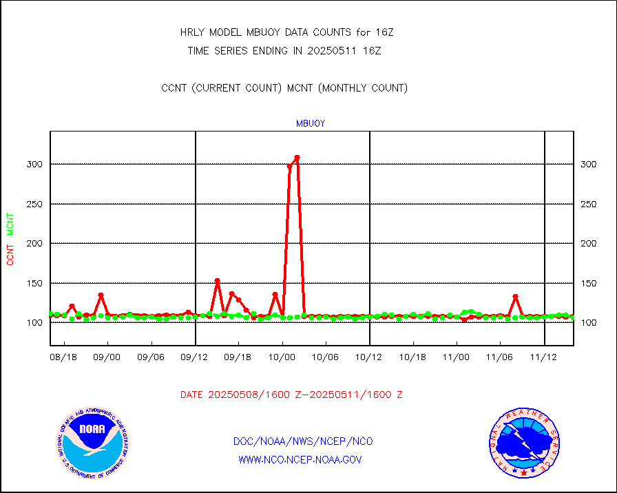
mbuoy |
Buoys decoded from FM-13 format (moored) |
117 |
115 |
101.7 % |
2315.50-2316.49 |
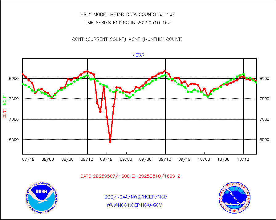
metar |
Aviation - METAR |
7798 |
7901 |
98.7 % |
2315.50-2316.49 |
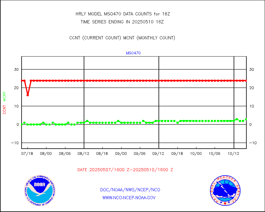
mso470 |
Mesonet/MADIS Colorado E-470 (Interstate 470) |
18 |
20 |
90.0 % |
2315.50-2316.49 |
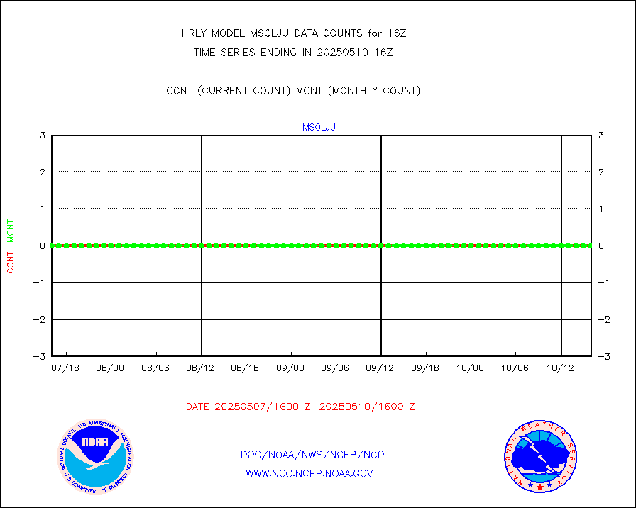
msoalk |
Mesonet/MADIS Alaska Department of Transportation |
108 |
106 |
101.9 % |
2315.50-2316.49 |
msoapg |
Mesonet/MADIS U.S. Army Aberdeen Proving Grounds |
0 |
0 |
n/a |
2315.50-2316.49 |
msoapr |
Mesonet/MADIS Citizen Weather Observers Program |
46737 |
48107 |
97.2 % |
2315.50-2316.49 |
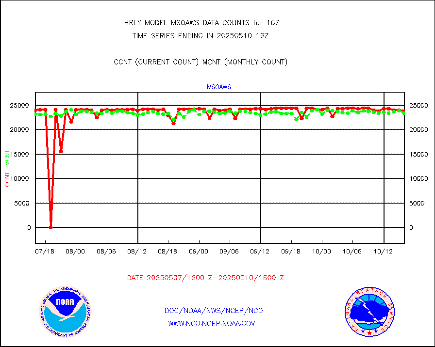
msoaws |
Mesonet/MADIS AWS Convergence Technologies, Inc. |
25630 |
25534 |
100.4 % |
2315.50-2316.49 |
msoawx |
Mesonet/MADIS "Anything Weather" |
0 |
0 |
n/a |
2315.50-2316.49 |
msocol |
Mesonet/MADIS Colorado Dept. of Transportation |
0 |
0 |
n/a |
2315.50-2316.49 |
msodcn |
Mesonet/MADIS DC Net |
0 |
0 |
n/a |
2315.50-2316.49 |
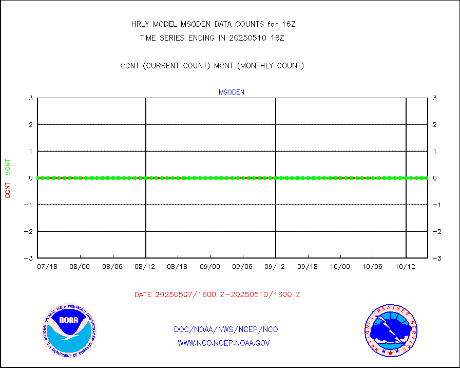
msoden |
Mesonet/MADIS Denver Urban Drainage & Flood Cntrl |
250 |
232 |
107.8 % |
2315.50-2316.49 |
msofla |
Mesonet/MADIS Florida (FAWN & USF) |
4 |
4 |
100.0 % |
2315.50-2316.49 |
msoflt |
Mesonet/MADIS Florida Dept. of Transportation |
0 |
0 |
n/a |
2315.50-2316.49 |
msogeo |
Mesonet/MADIS Georgia Dept. of Transportation |
0 |
0 |
n/a |
2315.50-2316.49 |
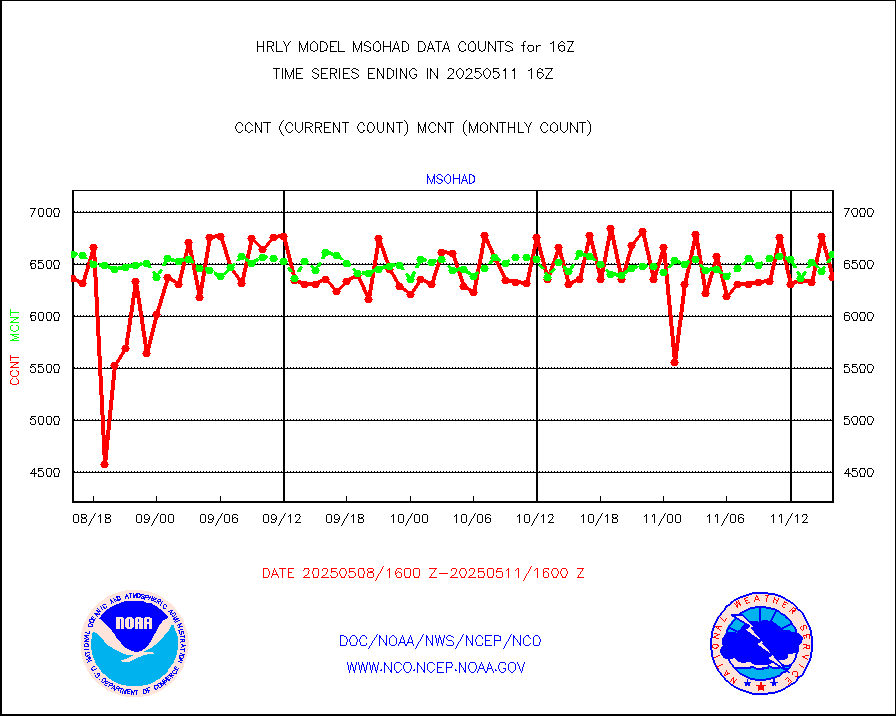
msohad |
Mesonet/MADIS NWS Hydromet Auto Data System(HADS) |
6825 |
6167 |
110.7 % |
2315.50-2316.49 |
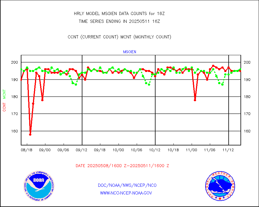
msoien |
Mesonet/MADIS Iowa Environmental |
196 |
187 |
104.8 % |
2315.50-2316.49 |
msoind |
Mesonet/MADIS Indiana Dept. of Transportation |
0 |
0 |
n/a |
2315.50-2316.49 |
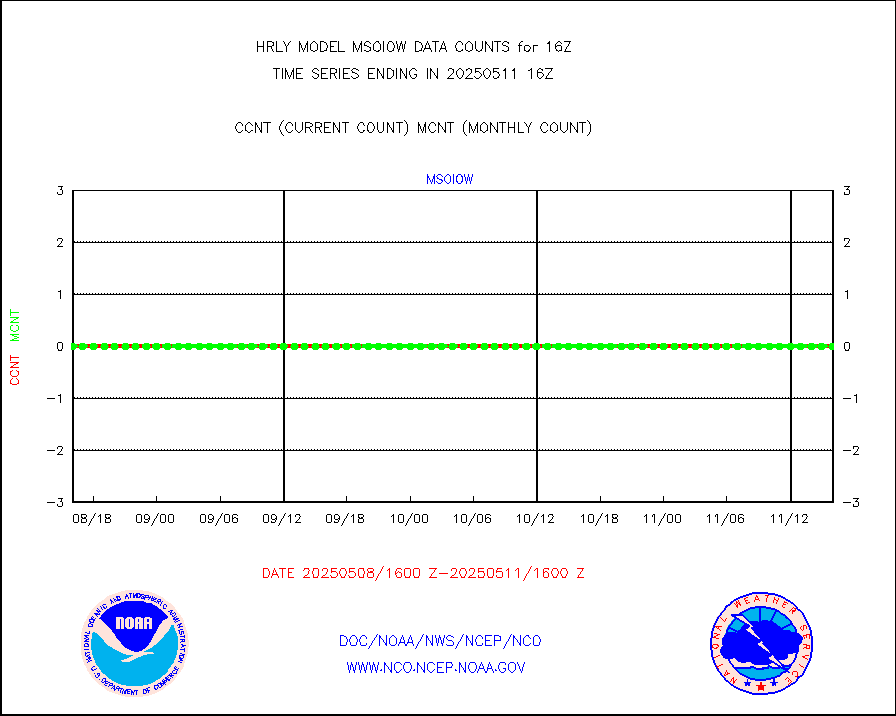
msoiow |
Mesonet/MADIS Iowa Department of Transportation |
0 |
0 |
n/a |
2315.50-2316.49 |
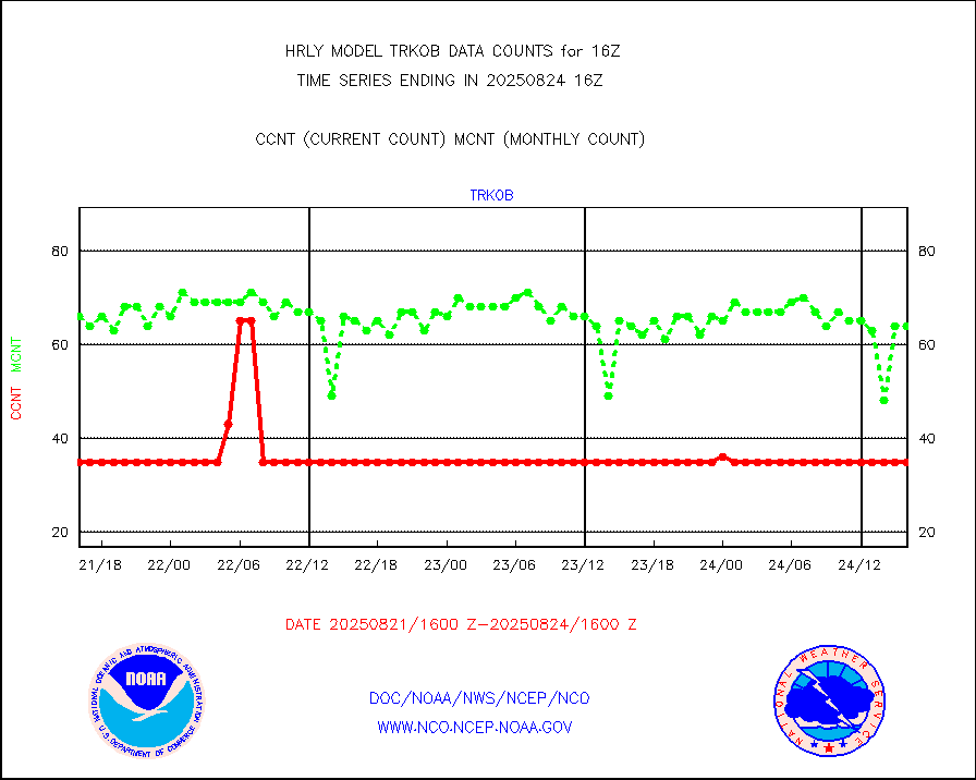
msokan |
Mesonet/MADIS Kansas Department of Transportation |
349 |
325 |
107.4 % |
2315.50-2316.49 |
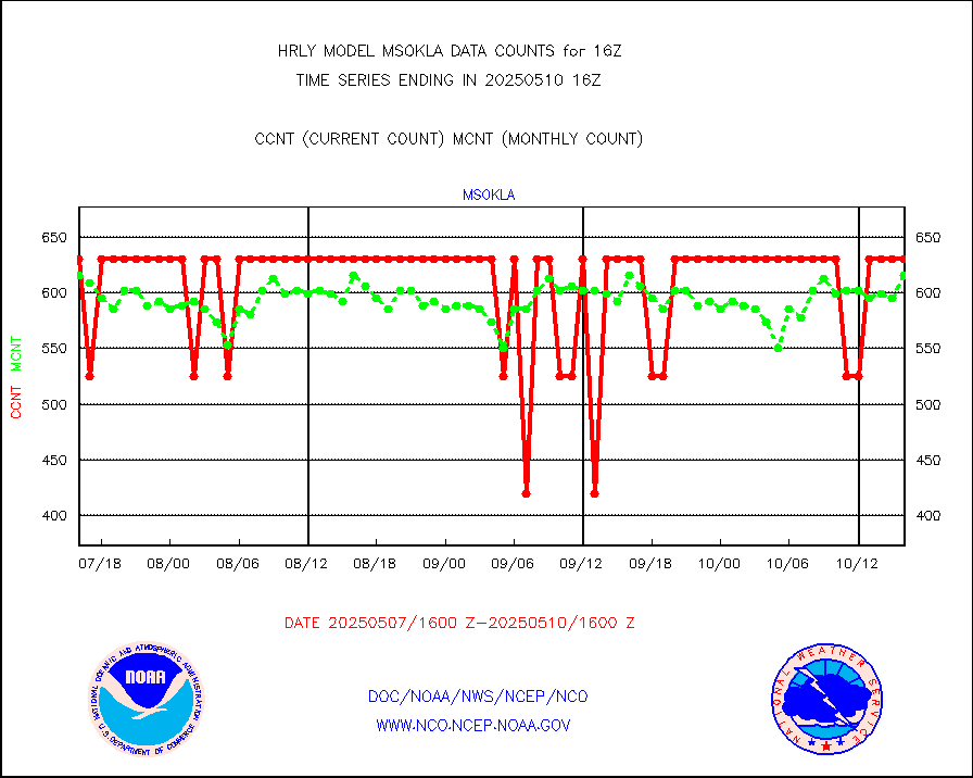
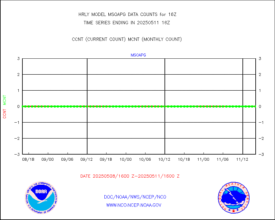
msokla |
Mesonet/MADIS Oklahoma Mesonet |
318 |
322 |
98.8 % |
2315.50-2316.49 |
msolju |
Mesonet/MADIS Louisiana State/Jackson State Univ. |
0 |
0 |
n/a |
2315.50-2316.49 |
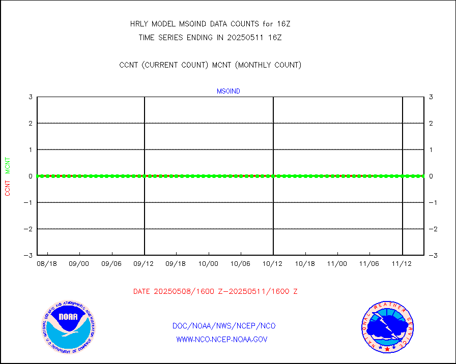
msomca |
Mesonet/MADIS Missouri Commercial Agricult Wx Net |
302 |
275 |
109.8 % |
2315.50-2316.49 |
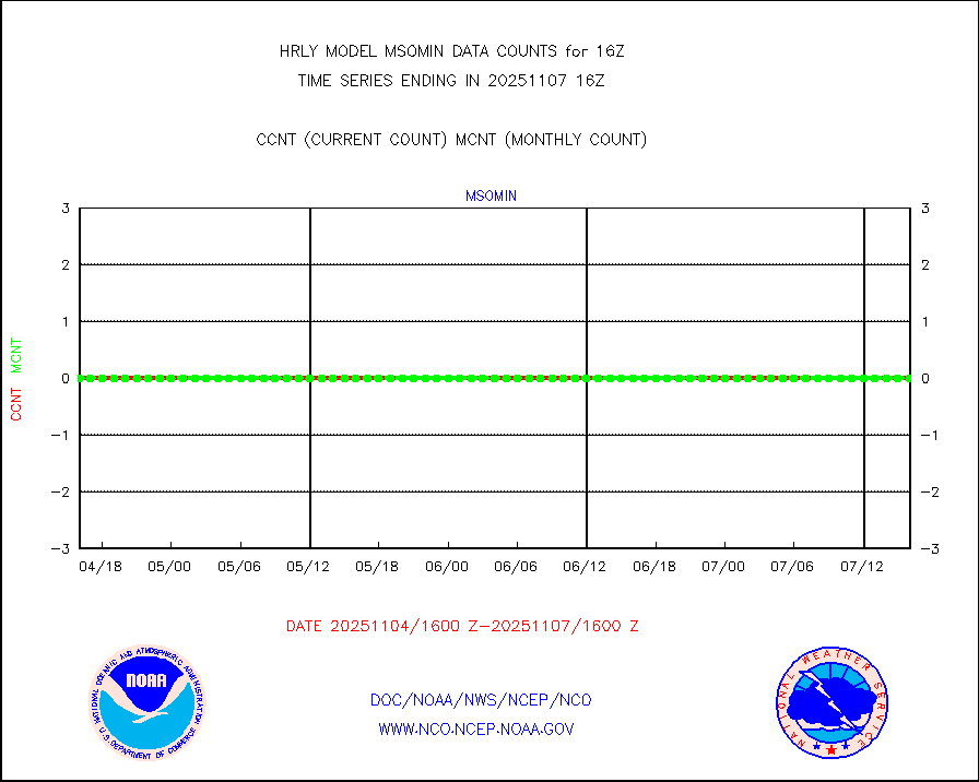
msomin |
Mesonet/MADIS Minnesota Dept. of Transportation |
0 |
0 |
n/a |
2315.50-2316.49 |
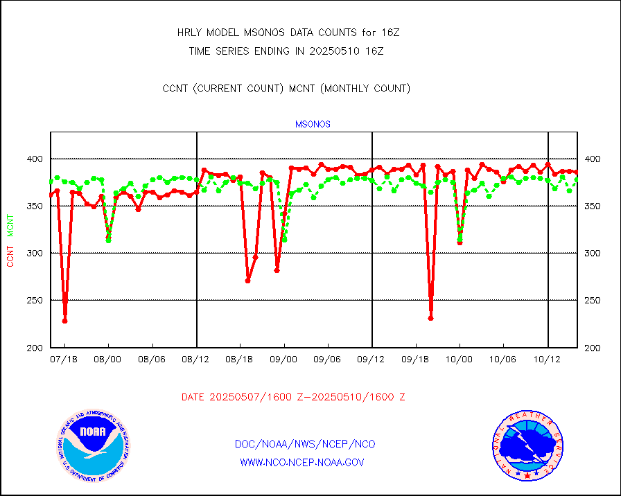
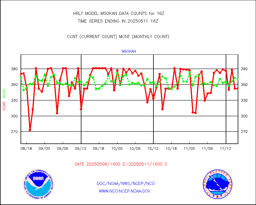
msonos |
Mesonet/MADIS NOS-Phys Oceanographic Realtime Sys |
388 |
360 |
107.8 % |
2315.50-2316.49 |
msoraw |
Mesonet/MADIS NFIC Remote Automated Wx Stns(RAWS) |
1889 |
1818 |
103.9 % |
2315.50-2316.49 |
msovir |
Mesonet/MADIS Virginia Dept. of Transportation |
221 |
233 |
94.8 % |
2315.50-2316.49 |
msowfy |
Mesonet/MADIS "Weather for You" |
0 |
0 |
n/a |
2315.50-2316.49 |
msowis |
Mesonet/MADIS Wisconsin Dept. of Transportation |
0 |
0 |
n/a |
2315.50-2316.49 |
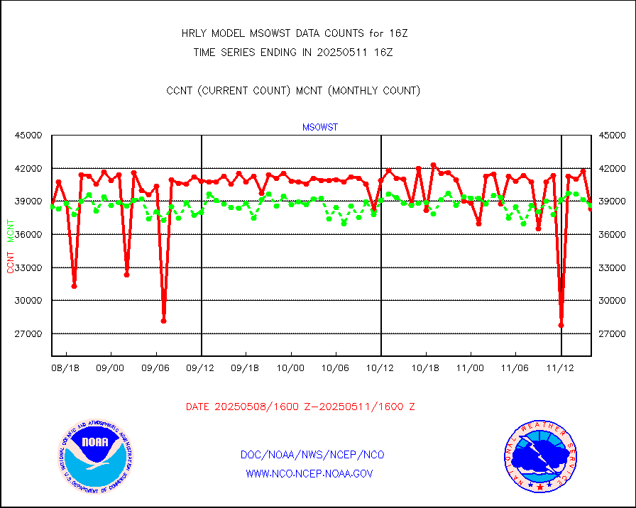
msowst |
Mesonet/MADIS MesoWest (many subproviders) |
44374 |
44737 |
99.2 % |
2315.50-2316.49 |
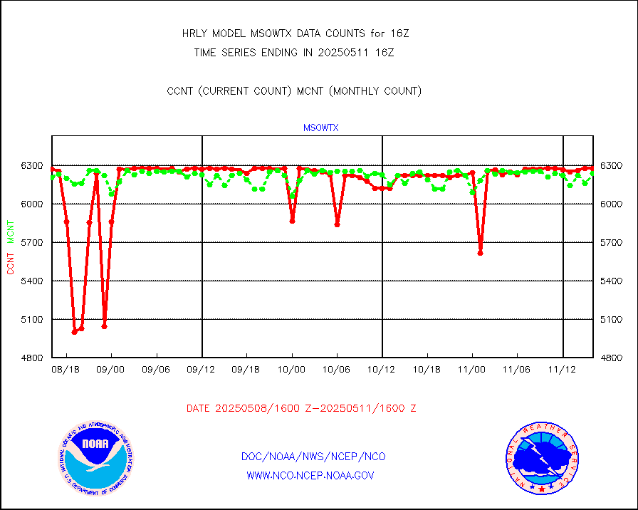
msowtx |
Mesonet/MADIS West Texas |
5607 |
5542 |
101.2 % |
2315.50-2316.49 |
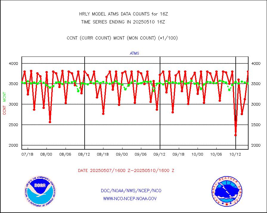
mtiasi |
METOP 1-2 IASI 1C radiance data (varbl. channels) |
80328 |
85910 |
93.5 % |
2314.00-2314.99 |
nxrdw |
NEXRAD Vel Azm Dsp(VAD) winds via radar coded msg |
0 |
0 |
n/a |
2315.50-2316.49 |
omi |
Aura Ozone Monitoring Instrument (OMI) data |
35940 |
56472 |
63.6 % |
2313.50-2314.49 |
osbuv8 |
NOAA 16-19 Solar Backscatter UV-2 rad frm V8 BUFR |
0 |
0 |
n/a |
2314.00-2314.99 |
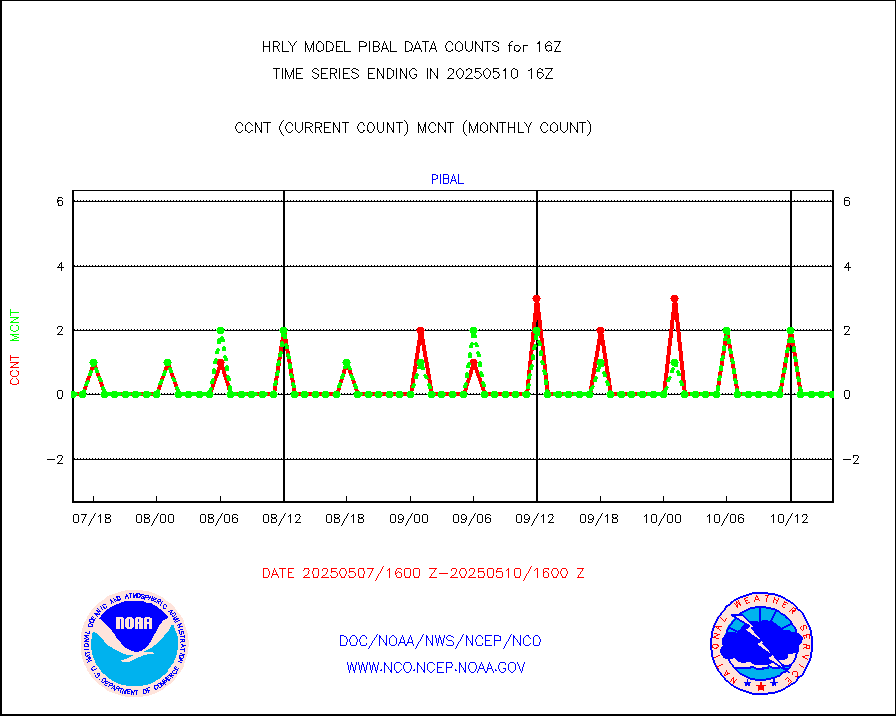
pibal |
PIBAL (from PILOT, PILOT SHIP, PILOT MOBIL) |
0 |
0 |
n/a |
2315.50-2316.49 |
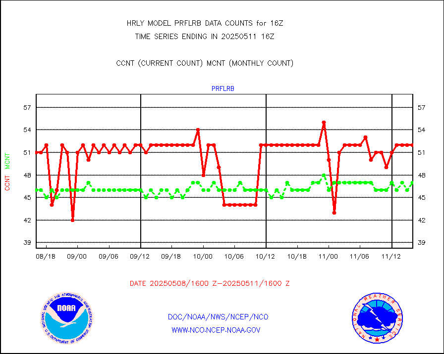
prflrb |
Multi-Agency Profiler (MAP) and SODAR winds |
44 |
39 |
112.8 % |
2315.50-2316.49 |
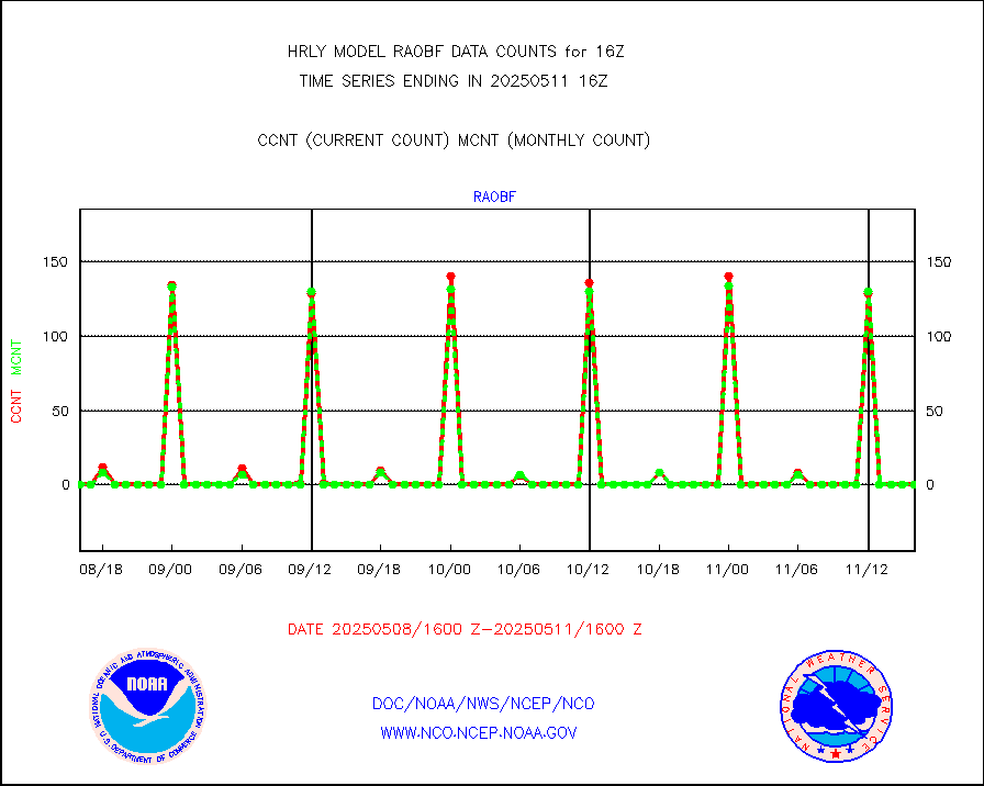
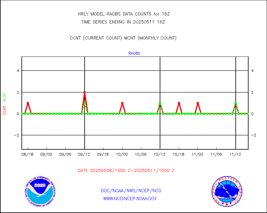
raobf |
Rawinsonde - fixed land (from TEMP or PILOT) |
0 |
0 |
n/a |
2315.50-2316.49 |
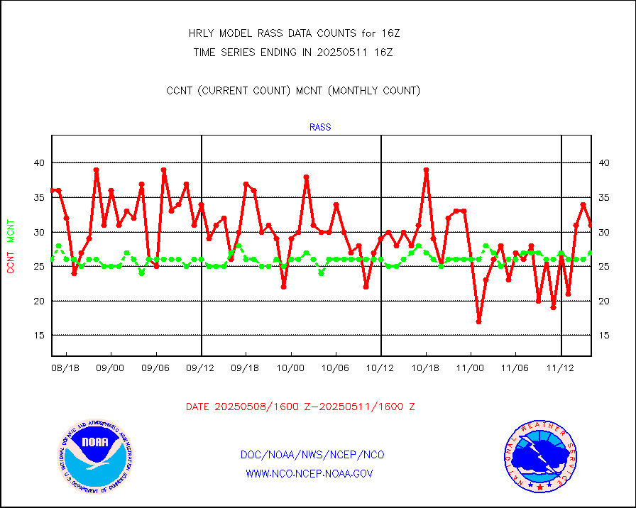
rass |
RASS temperatures (NOAA and Multi-Agency) |
25 |
24 |
104.2 % |
2315.50-2316.49 |
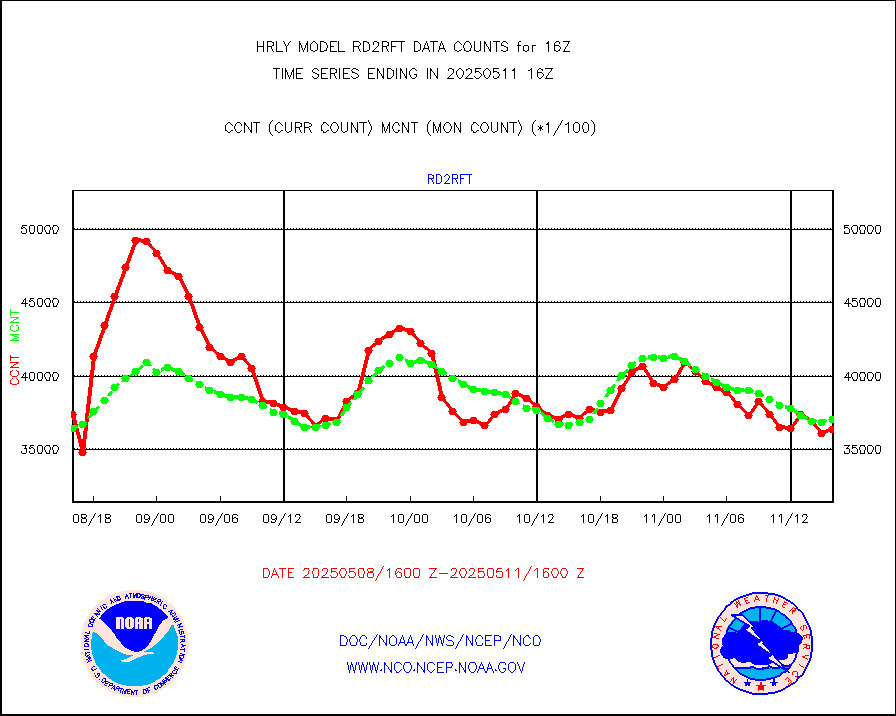
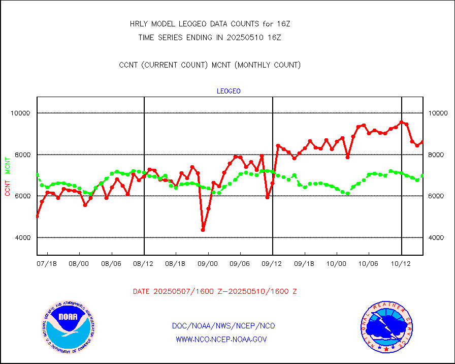
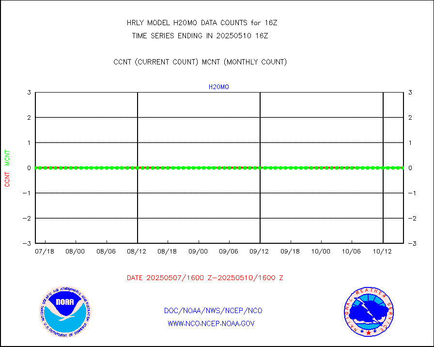
rd2rft |
NEXRAD reflectivity (Lvl 2 - GTS) |
3326785 |
3476346 |
95.7 % |
2315.50-2316.49 |
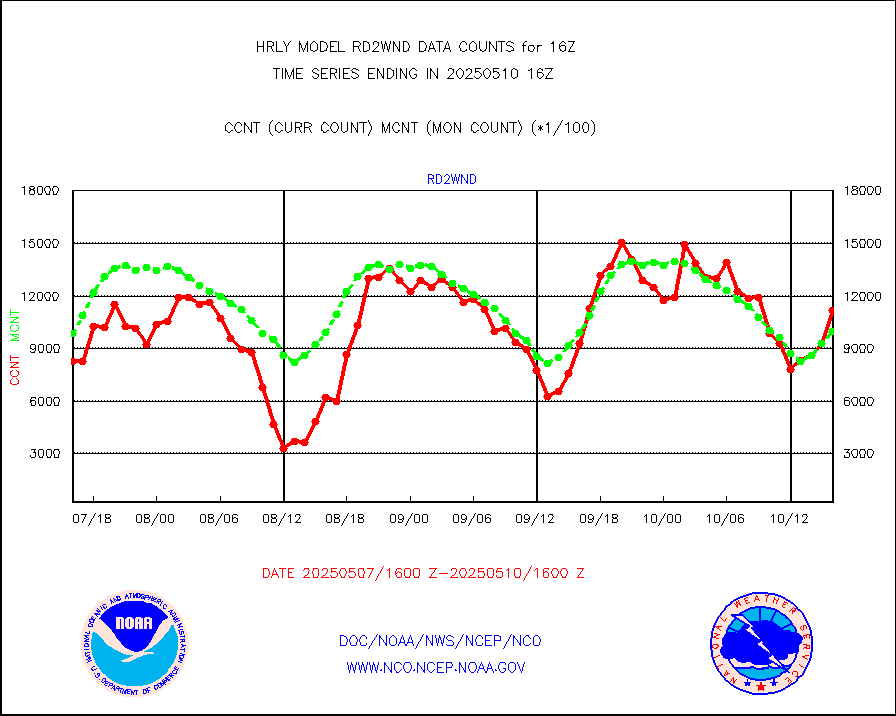
rd2wnd |
NEXRAD radial wind (Level 2 - GTS) |
1030799 |
1127378 |
91.4 % |
2315.50-2316.49 |
sevcsr |
METEOSAT-10 2nd Gen SEVIRI Clr Sky Radiance(proc) |
0 |
0 |
n/a |
2315.50-2316.49 |
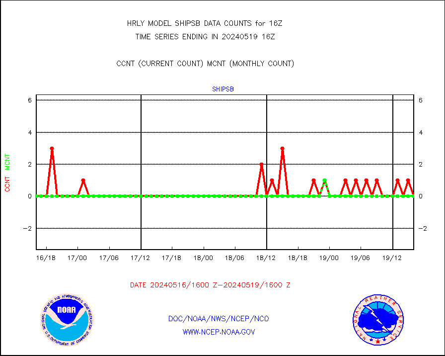
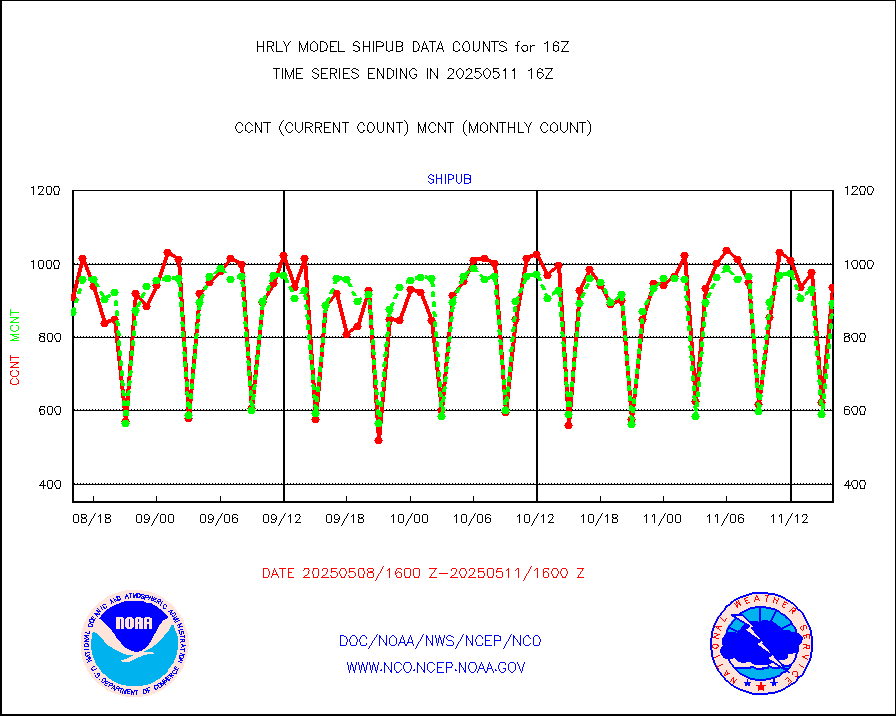
shipsb |
Ship - manual and automatic, restricted (BUFR) |
0 |
0 |
n/a |
2315.50-2316.50 |
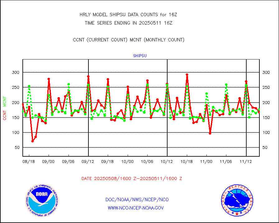
shipsu |
Ship - manual and automatic, unrestricted |
112 |
108 |
103.7 % |
2315.50-2316.50 |
shipub |
Ship - manual and automatic, unrestricted (BUFR) |
695 |
736 |
94.4 % |
2315.50-2316.50 |
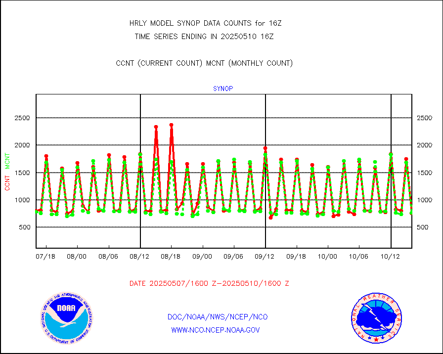
synop |
Synoptic - fixed manual and automatic |
911 |
831 |
109.6 % |
2315.50-2316.49 |
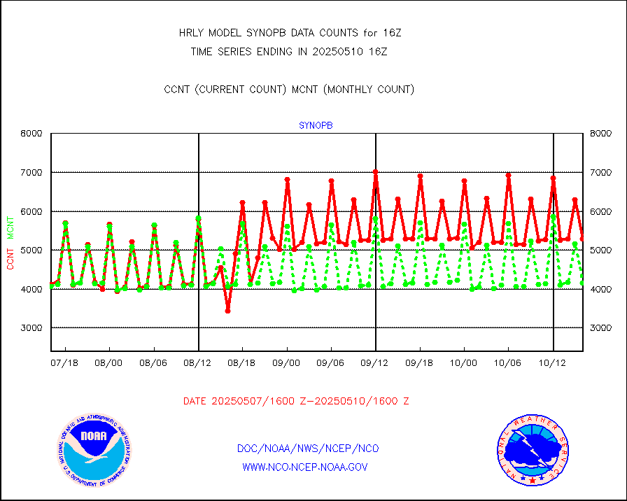
synopb |
Synoptic - fixed manual & auto (decoded fr BUFR) |
4151 |
4085 |
101.6 % |
2315.50-2316.49 |
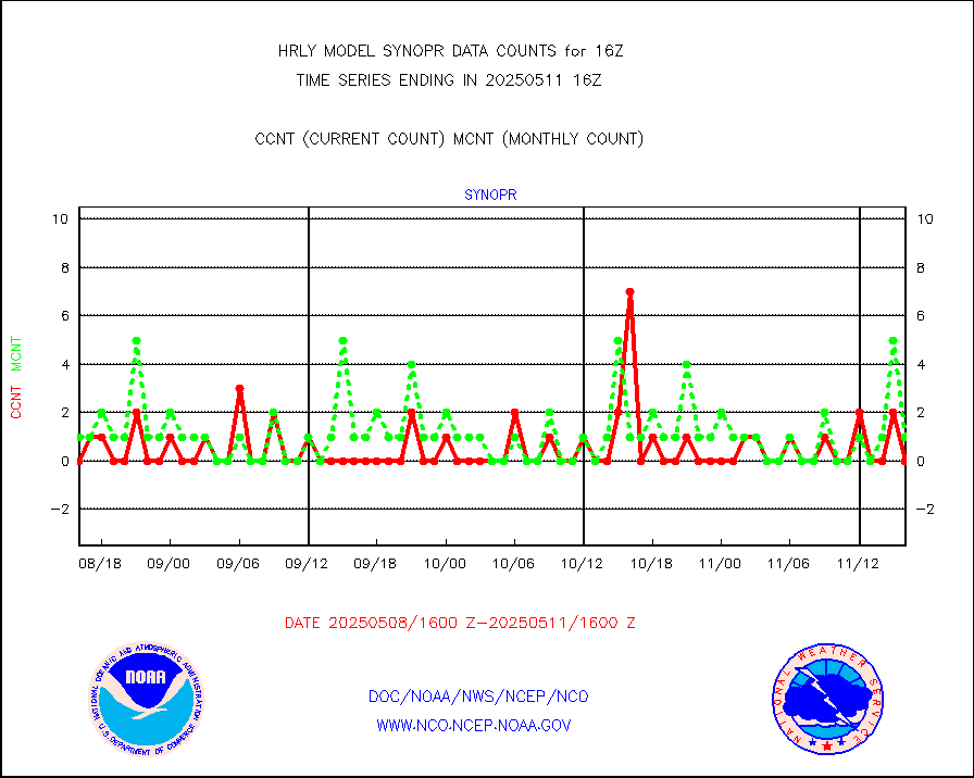
synopr |
Synoptic - restricted (WMO Res 40) manual & auto. |
0 |
1 |
0.0 % |
2315.50-2316.49 |
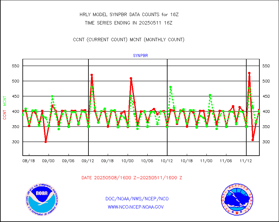
synpbr |
Synoptic - restricted (WMO Res 40)(decoded BUFR) |
397 |
403 |
98.5 % |
2315.50-2316.49 |
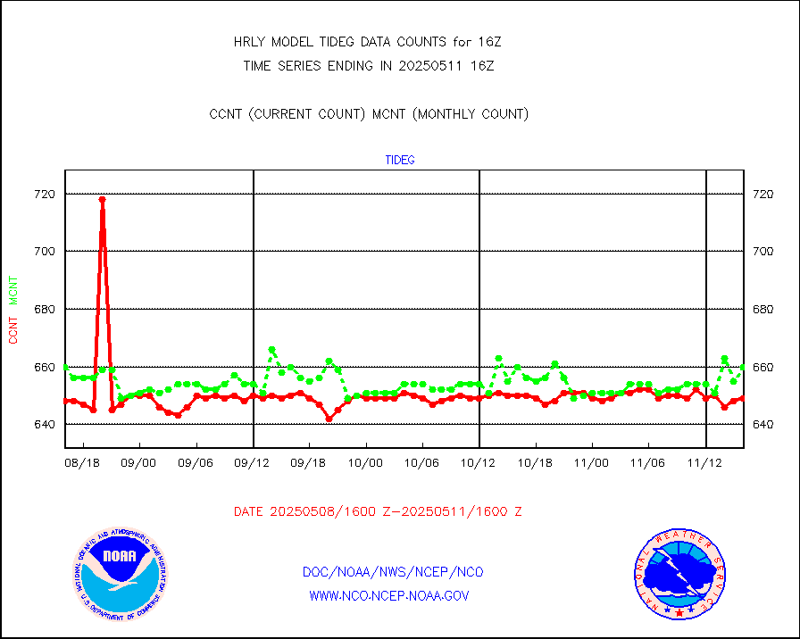
tideg |
Tide gauge reports decoded from CREX format |
643 |
633 |
101.6 % |
2315.00-2315.99 |
| Data Types of Opportunity with Normal Counts |
|---|
| Type | Description | Hourly Count | Monthly Average | Percent (%) of Monthly Mean | UTC Time Window |
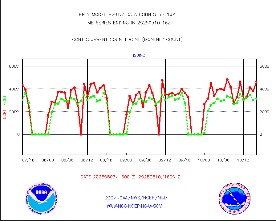
3p9usr |
GOES-16&up/NESDIS ir short-wv derived cld motion |
10719 |
12510 |
85.7 % |
2315.00-2315.99 |
acarsa |
MDCRS ACARS acft data (ARINC via AFWA)(AIREP fmt) |
0 |
0 |
n/a |
2315.50-2316.49 |
ahicsr |
Himawari Clear Sky Radiance |
0 |
0 |
n/a |
2315.00-2315.99 |
amsr2 |
GCOM-W AMSR2 1B brightness temperatures |
2253096 |
2136067 |
105.5 % |
2314.00-2314.99 |
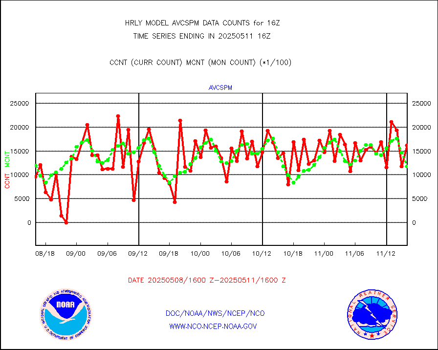
atmsdb |
NPP/NOAA-20 ATMS bright. temps-direct b-cast SSEC |
117943 |
118649 |
99.4 % |
2314.50-2315.49 |
atovs |
POES/NESDIS - processed ATOVS soundings/radiances |
0 |
0 |
n/a |
2314.00-2314.99 |
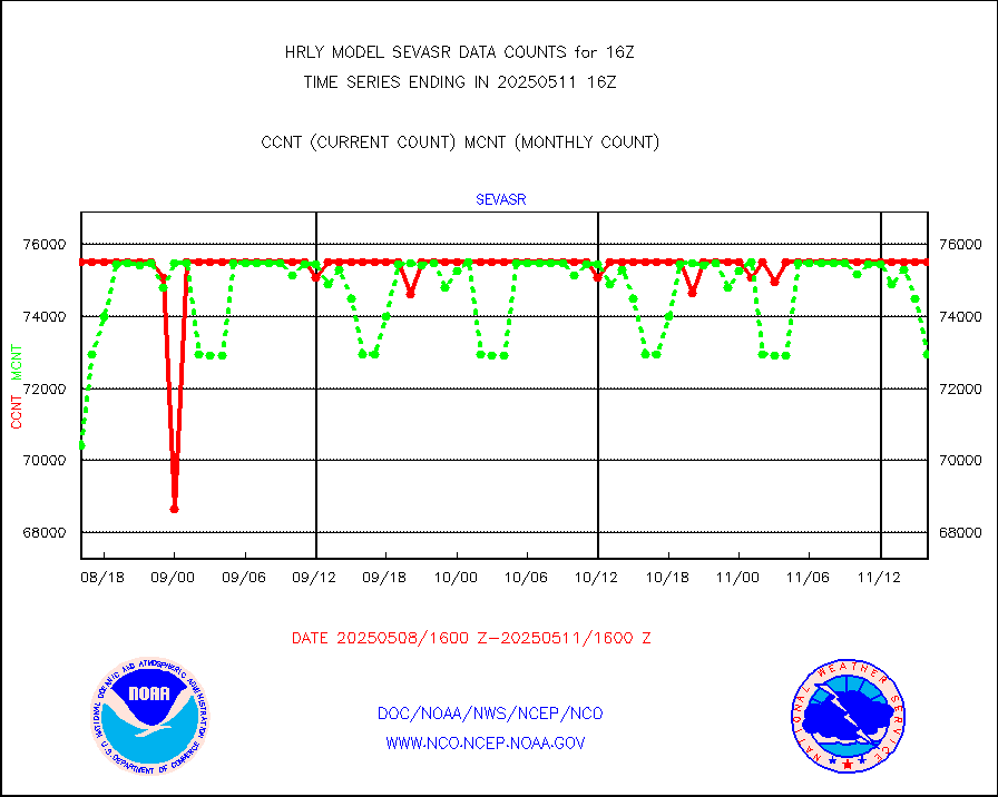
avcsam |
A.M.(N17,M2,M3) AVHRR GAC NCEP-proc clr&sea btmps |
1020191 |
1101621 |
92.6 % |
2313.50-2314.49 |
avcspm |
P.M.(N18-19) AVHRR GAC NCEP-proc clr & sea btemps |
1326704 |
1235235 |
107.4 % |
2313.50-2314.49 |
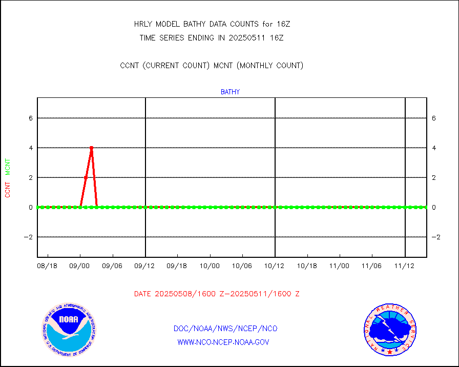
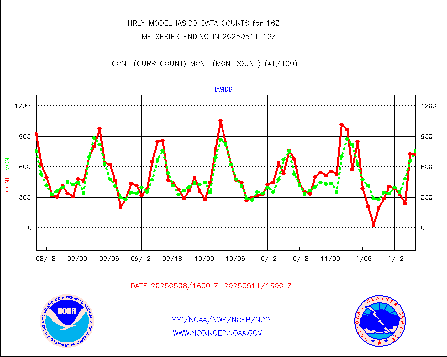
bathy |
eXpendable BathyThermograph, mooring (BATHY fmt) |
3 |
1 |
300.0 % |
2309.00-2309.99 |
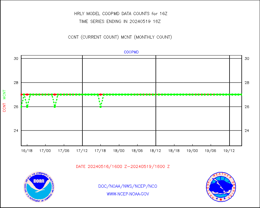
coopmd |
Coop/MADIS NEPP & HCN-Modernization NOAA COOP Obs |
27 |
23 |
117.4 % |
2315.50-2316.49 |
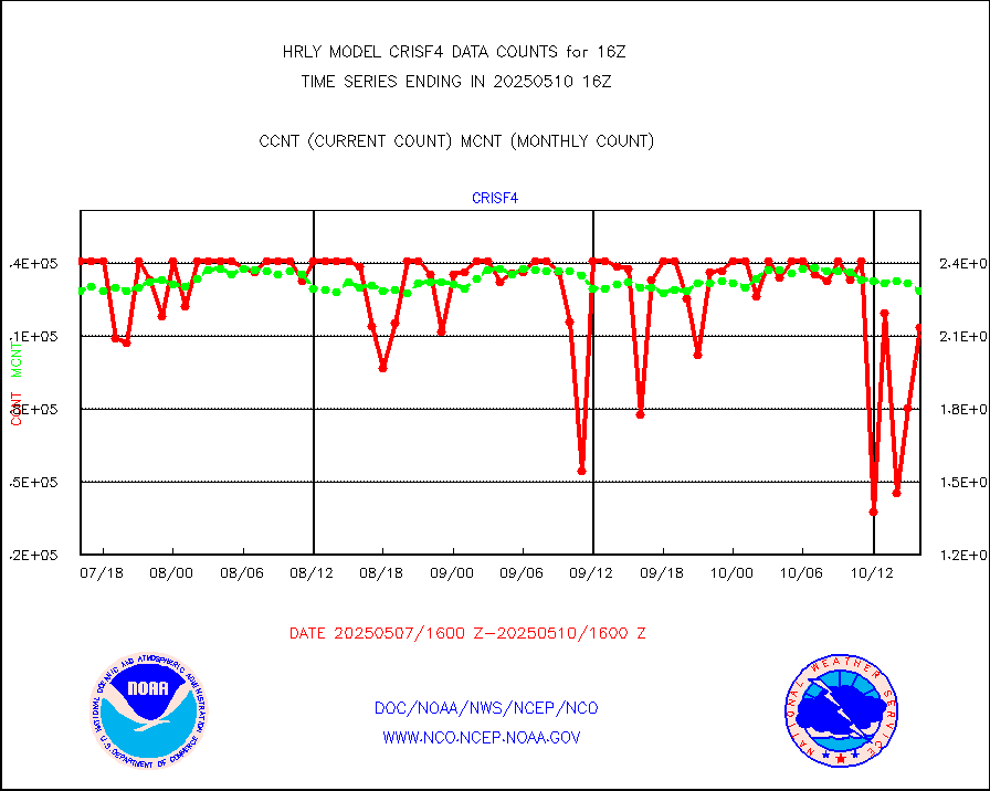
crisf4 |
NPP/NOAA-20 CrIS full spctrl radn (431 ch subset) |
240534 |
212617 |
113.1 % |
2314.50-2315.49 |
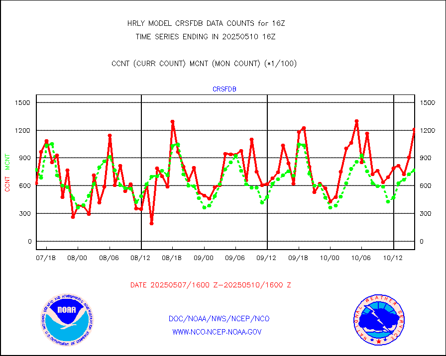
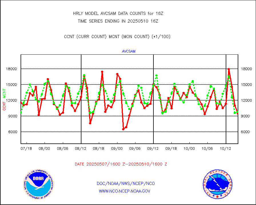
crsfdb |
NPP/NOAA-20 CrIS full spctrl radn dir brdcst SSEC |
95400 |
97737 |
97.6 % |
2314.50-2315.49 |
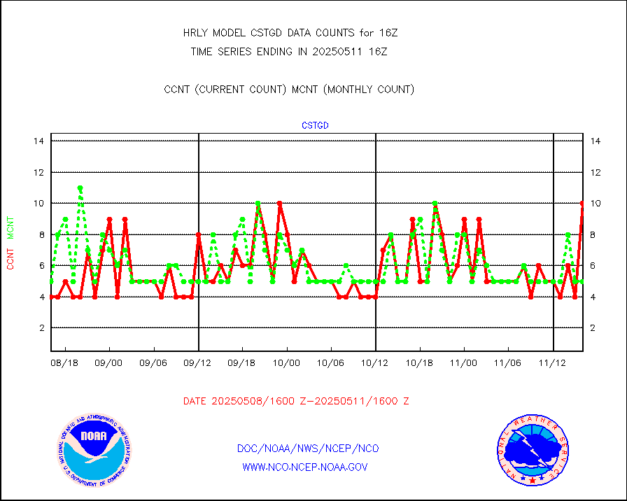
cstgd |
Coast Guard |
4 |
3 |
133.3 % |
2315.50-2316.50 |
dbuoyb |
Drifting buoys (decoded from BUFR) |
1384 |
1410 |
98.2 % |
2315.50-2316.50 |
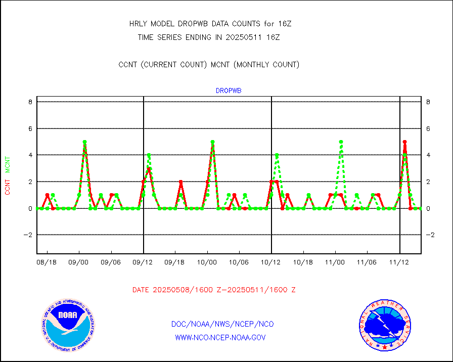
dropw |
Dropwinsonde (from TEMP DROP) |
0 |
0 |
n/a |
2315.50-2316.49 |
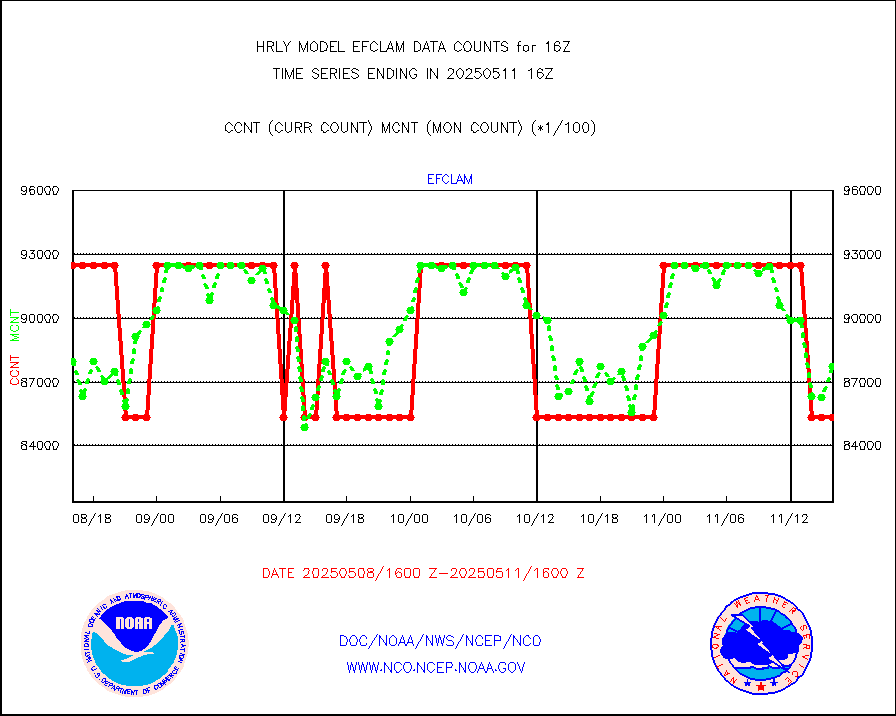
efclam |
GOES imager effective cloud amount data (U.Wisc.) |
8281902 |
8177211 |
101.3 % |
2315.50-2316.49 |
esatms |
NPP Adv. Tech. MW Sndr (ATMS) br. temps from RARS |
129656 |
100171 |
129.4 % |
2314.50-2315.49 |
esiasi |
METOP 1-2 IASI 1C radiance data vbl chn from RARS |
56764 |
48120 |
118.0 % |
2315.00-2315.99 |
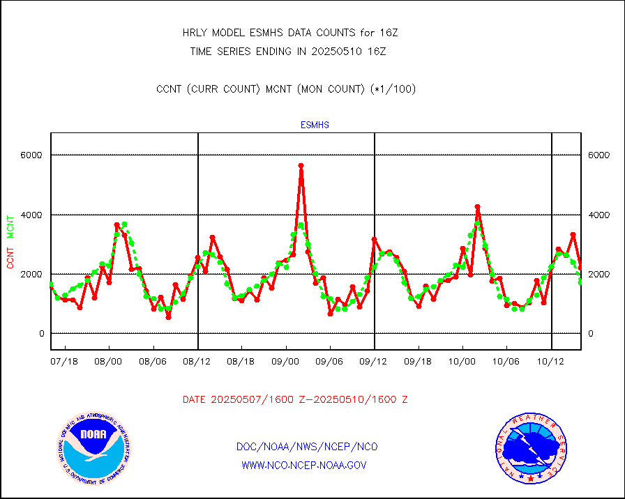
esmhs |
NOAA 18-19 & METOP 1-2 MHS proc. btemps from RARS |
236991 |
156220 |
151.7 % |
2315.50-2316.49 |
geoimr |
GOES/NESDIS (11x17 f-o-v) imager clear radiances |
0 |
0 |
n/a |
2315.00-2315.99 |
gome |
METOP 1-2 Global Ozone Monitoring Exp.-2 (GOME-2) |
864 |
6633 |
13.0 % |
2314.50-2315.49 |
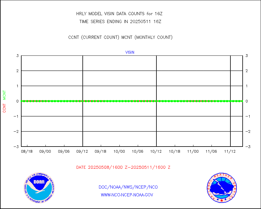
h2dusr |
GOES-16&up/NESDIS wv imgr/deep-lyr derivd cld mtn |
19664 |
15380 |
127.9 % |
2315.00-2315.99 |
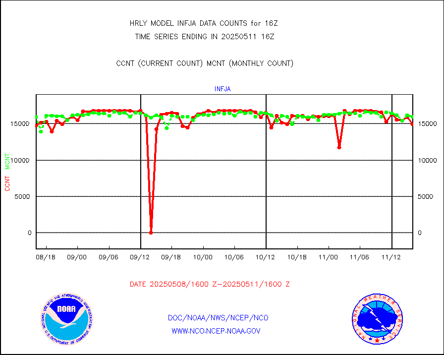
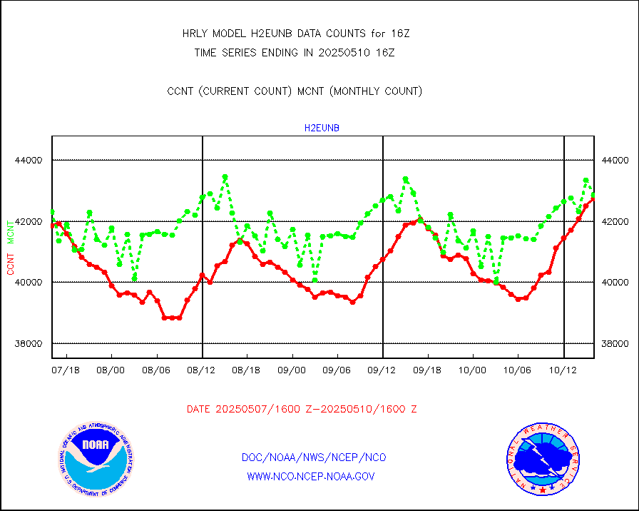
h2eunb |
METEOSAT/EUMETSAT wvpr imgr drv cld motion NBseq |
44439 |
44046 |
100.9 % |
2314.50-2315.49 |
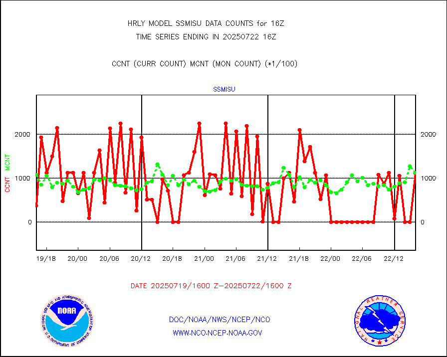
iasidb |
METOP 1-2 IASI 1C radiances-direct broadcast SSEC |
59850 |
65276 |
91.7 % |
2314.50-2315.49 |
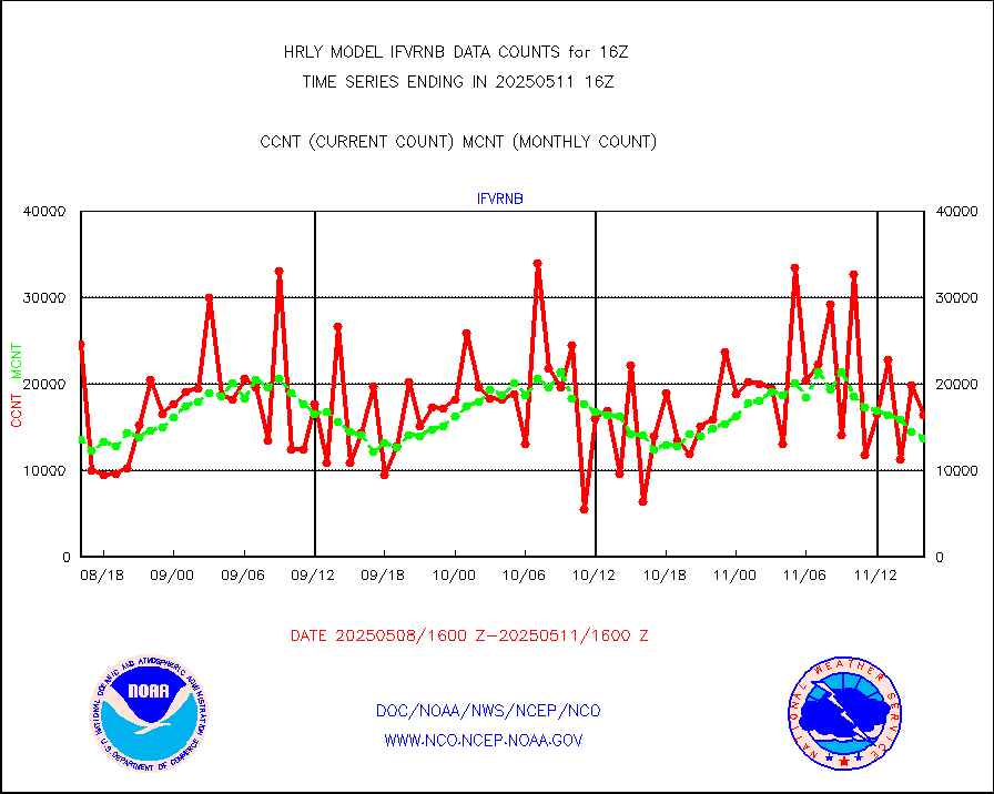
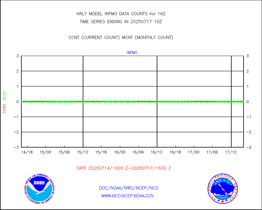
ifvrnb |
VIIRS (NPP/NOAA-20) ir lg-wv drv cloud motion(NB) |
18531 |
11919 |
155.5 % |
2312.00-2312.99 |
infav1 |
AVHRR (METOP) ir lg-wave derived cld motion |
0 |
0 |
n/a |
2315.50-2316.50 |
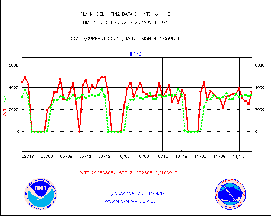
infin |
INSAT/KALPANA India ir lg-wave derived cld motion |
0 |
0 |
n/a |
2313.50-2314.49 |
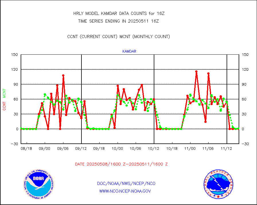
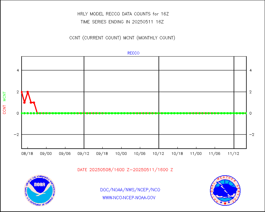
kamdar |
Korean AMDAR aircraft data (decoded from BUFR) |
0 |
0 |
n/a |
2315.50-2316.49 |
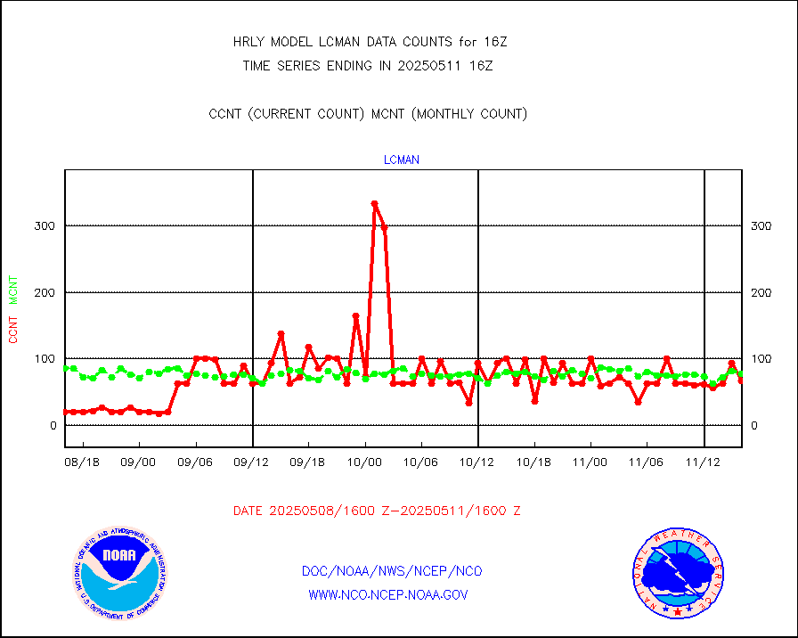
lcman |
Land-based CMAN stations decoded from CMAN format |
83 |
82 |
101.2 % |
2315.50-2316.49 |
ltnglr |
LLDN Long-rng lightning from Vaisala via NOAAPORT |
146376 |
154863 |
94.5 % |
2315.50-2316.49 |
mbuoyb |
Moored buoys (decoded from BUFR) |
695 |
633 |
109.8 % |
2315.50-2316.50 |
mls |
Aura Microwave Limb Sounder (MLS) ozone data |
0 |
0 |
n/a |
2314.00-2314.99 |
msourb |
Mesonet/MADIS UrbaNet |
4506 |
4392 |
102.6 % |
2315.50-2316.49 |
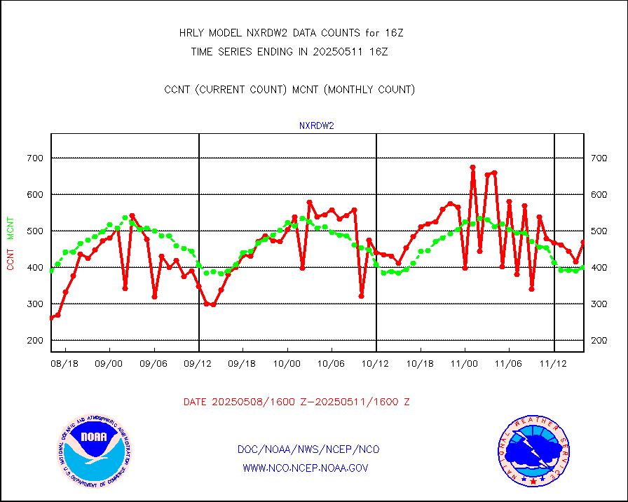
nxrdw2 |
NEXRAD Vel Azm Dsp(VAD) winds via Level 2 decoder |
424 |
424 |
100.0 % |
2315.50-2316.49 |
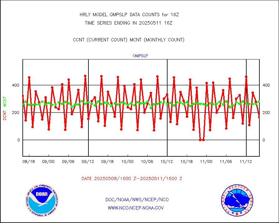
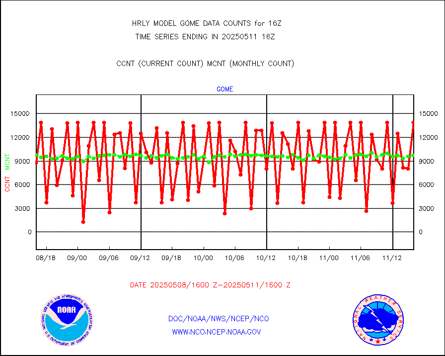
ompslp |
OMPS Limb Profiler ozone data (NPP) |
101 |
253 |
39.9 % |
2309.00-2309.99 |
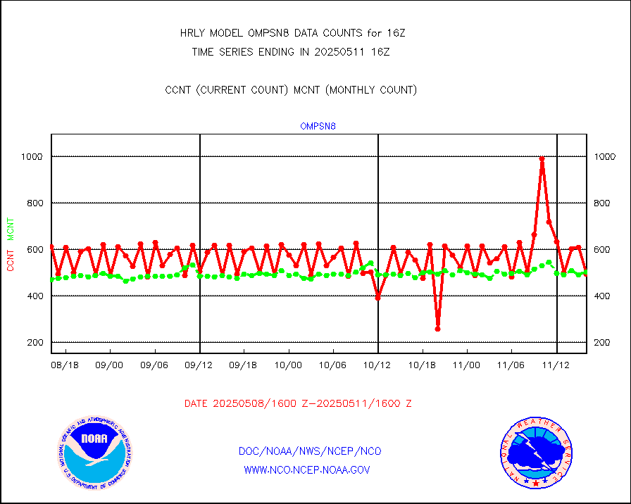
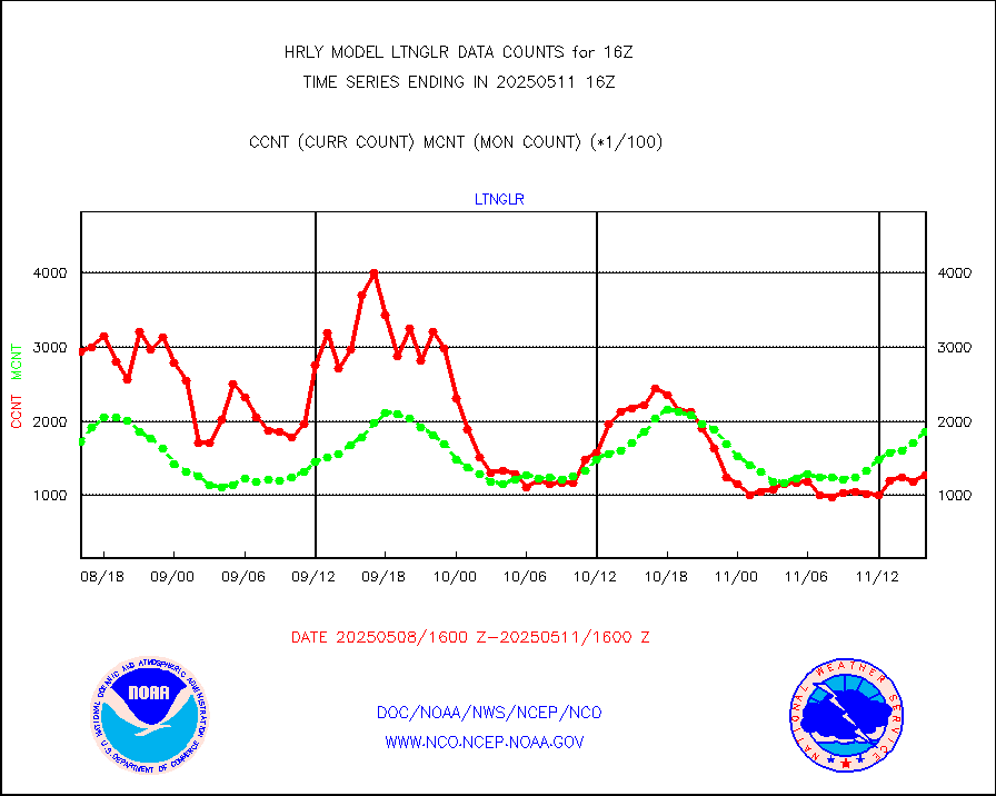
ompsn8 |
OMPS nadir profile ozone (Version 8 BUFR) |
528 |
516 |
102.3 % |
2314.00-2314.99 |
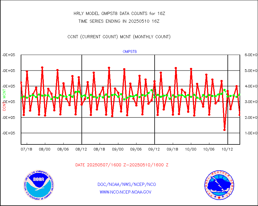
ompst8 |
OMPS total column ozone (Version 8 BUFR) |
387917 |
326044 |
119.0 % |
2314.00-2314.99 |
pirep |
Manual PIREP aircraft data (dcded from AIREP fmt) |
110 |
159 |
69.2 % |
2315.50-2316.49 |
prflrp |
Profilr winds from PIBAL (PILOT,PILOT SHIP/MOBIL) |
0 |
0 |
n/a |
2315.50-2316.49 |
raobm |
Rawinsonde - mobile land (from TEMP/PILOT MOBIL) |
0 |
0 |
n/a |
2315.50-2316.49 |
raobs |
Rawinsonde - ship (from TEMP SHIP, PILOT SHIP) |
0 |
0 |
n/a |
2315.50-2316.49 |
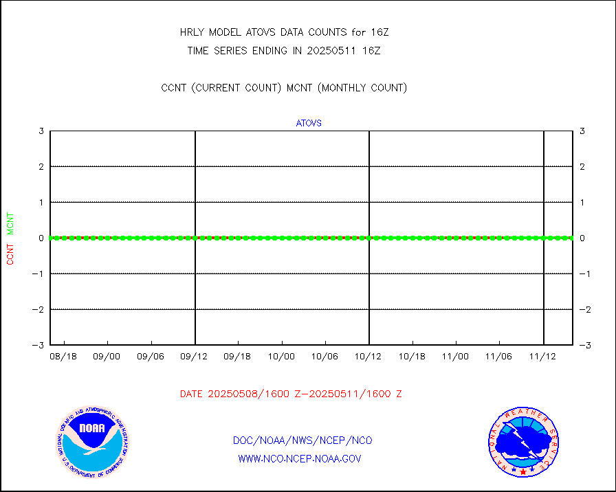
recco |
Flight level reconnaissance aircraft data |
0 |
0 |
n/a |
2315.50-2316.49 |
saphir |
Megha-Tropiques SAPHIR L1A2 brightness temps |
0 |
0 |
n/a |
2313.50-2314.49 |
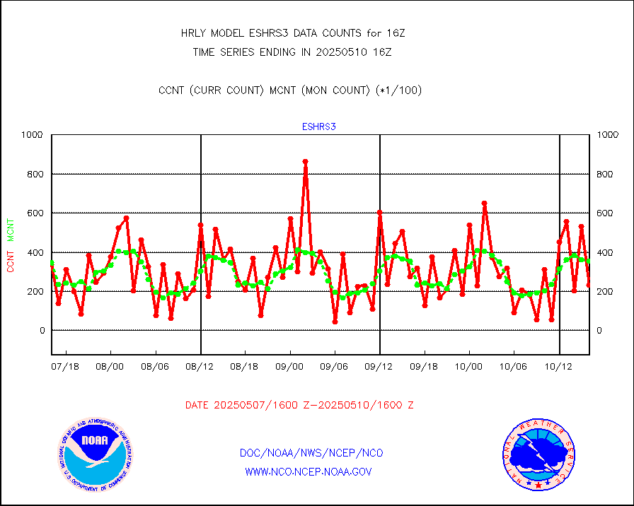
sevasr |
METEOSAT-10 2nd Gen SEVIRI All Sky Radiance(proc) |
75512 |
75468 |
100.1 % |
2315.50-2316.49 |
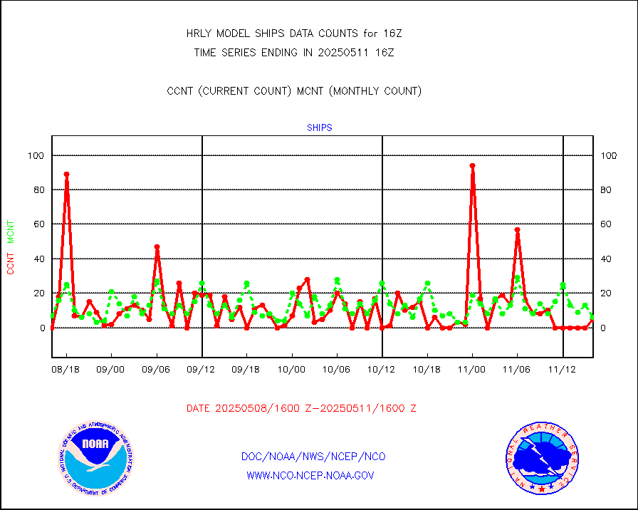
ships |
Ship - manual and automatic, restricted |
0 |
3 |
0.0 % |
2315.50-2316.49 |
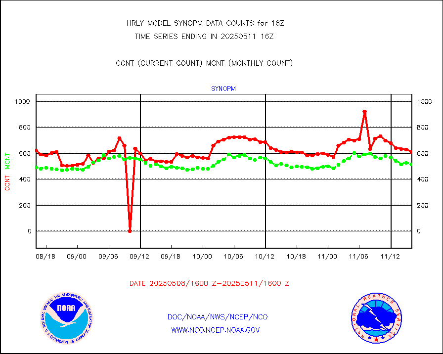
synopm |
Synoptic - mobile manual and automatic |
592 |
523 |
113.2 % |
2315.50-2316.49 |
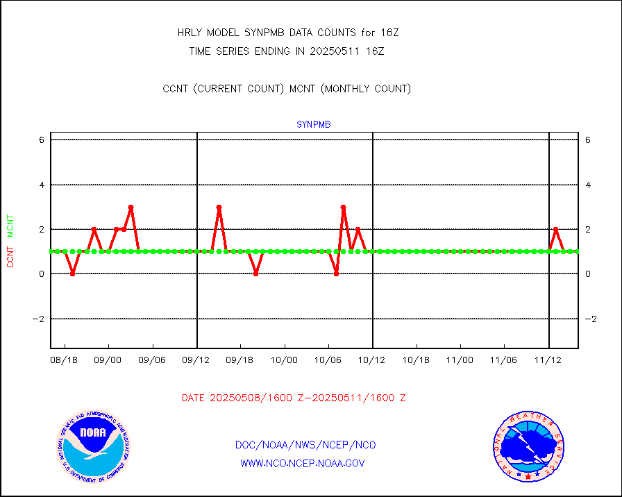
synpmb |
Synoptic - mobile manual & auto (decoded fr BUFR) |
0 |
1 |
0.0 % |
2315.50-2316.49 |
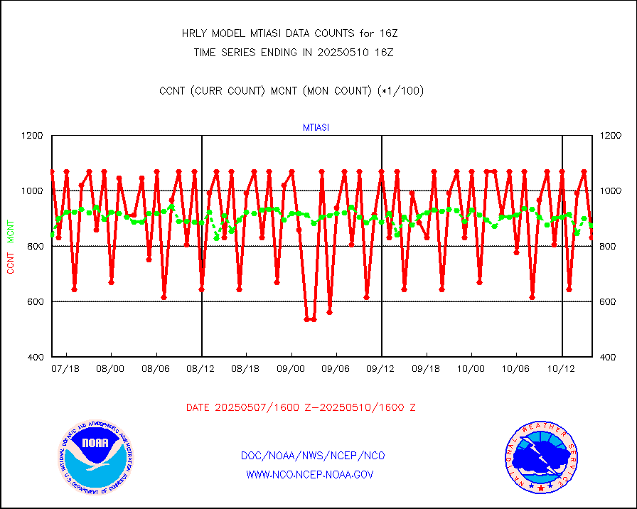
tesac |
CTD probe, Argo prflng float, mooring (TESAC fmt) |
175 |
158 |
110.8 % |
2315.50-2316.49 |
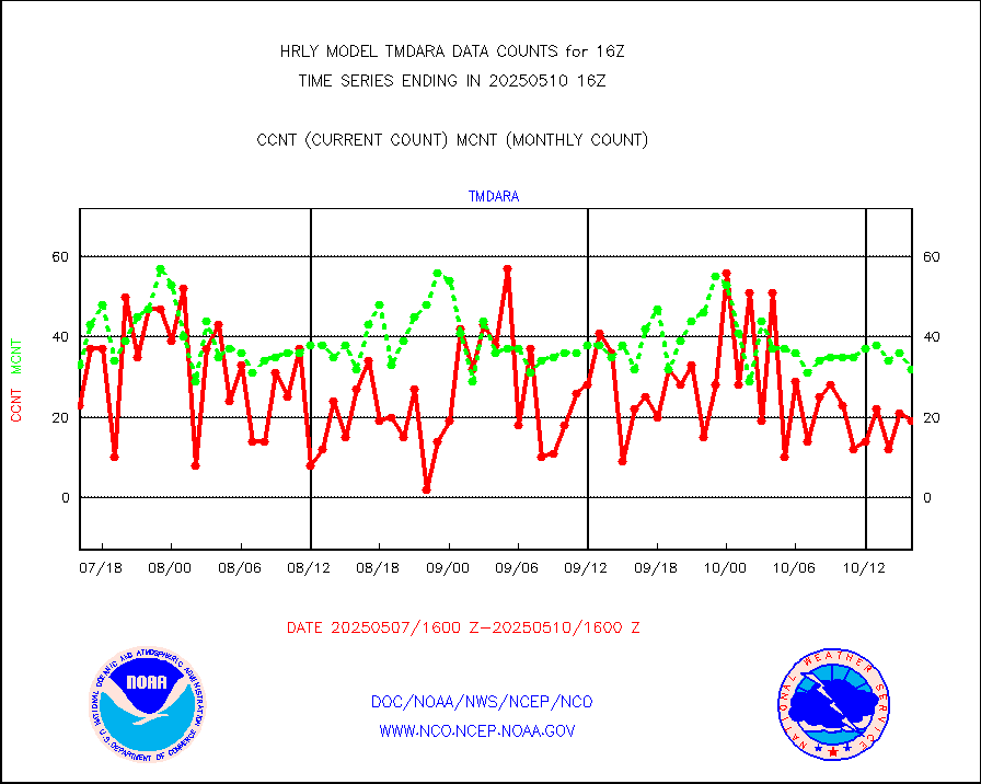
tmdara |
TAMDAR aircft data-all types(from Panasonic,BUFR) |
233 |
256 |
91.0 % |
2315.50-2316.49 |
visin |
INSAT/KALPANA India visible derived cloud motion |
0 |
0 |
n/a |
2313.50-2314.49 |
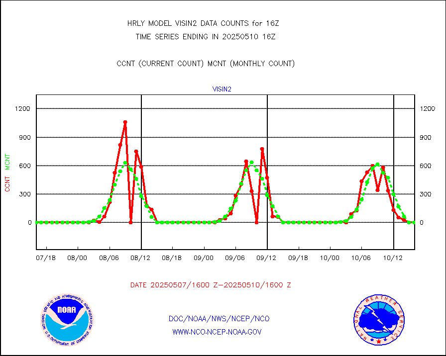
visin2 |
INDIA SATWIND, INSAT VIS channel |
0 |
0 |
n/a |
2315.00-2315.99 |
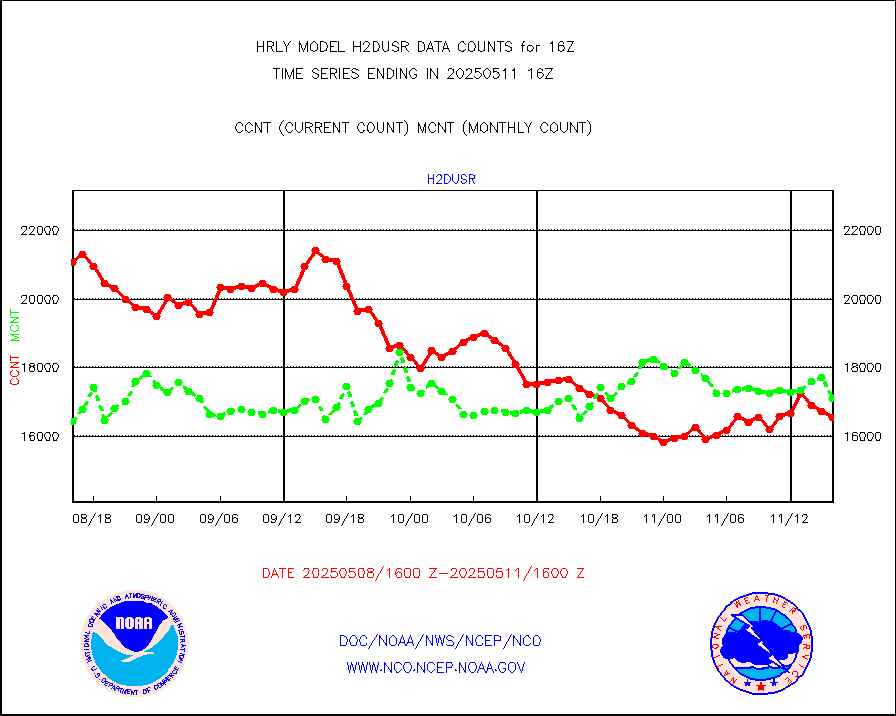
visja |
MTSAT/JMA visible derived cloud motion |
0 |
0 |
n/a |
2313.50-2314.49 |
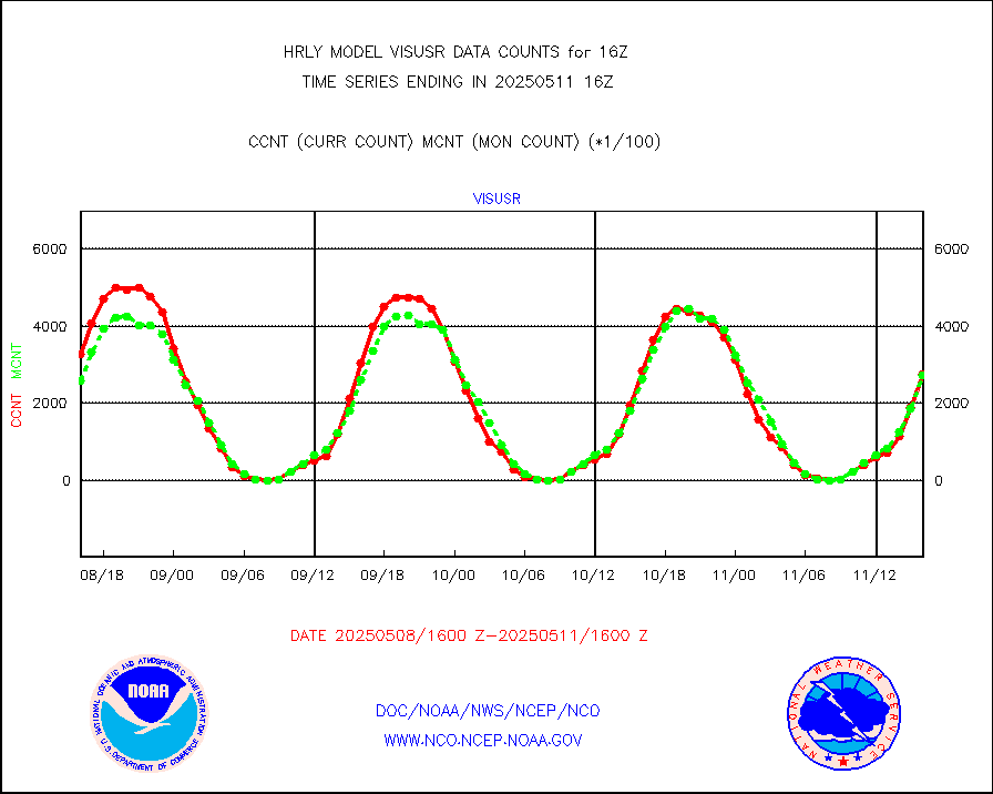
visusr |
GOES-16&up/NESDIS visible derived cloud motion |
271855 |
270086 |
100.7 % |
2315.00-2315.99 |
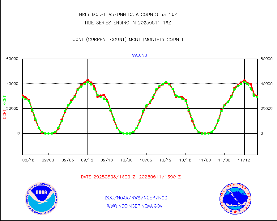
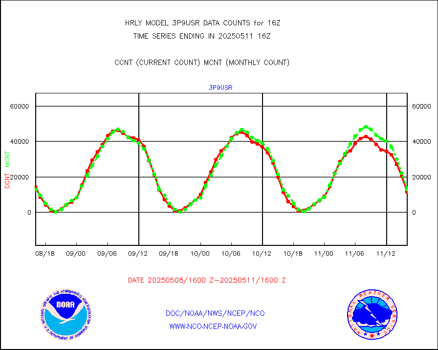
vseunb |
METEOSAT/EUMETSAT visible drv cld motion NBseq |
25973 |
28388 |
91.5 % |
2314.50-2315.49 |


