| Critical Data with Normal Counts |
|---|
| Type | Description | Hourly Count | Monthly Average | Percent (%) of Monthly Mean | UTC Time Window |
1bamua |
NOAA 15-19 & METOP 1-2 AMSU-A NCEP-proc. br.temps |
28759 |
29957 |
96.0 % |
1910.00-1915.99 |
1bhrs4 |
NOAA 18-19 & METOP 1-2 HIRS-4 NCEP-proc. br.temps |
21363 |
27368 |
78.1 % |
1910.00-1915.99 |
1bmhs |
NOAA 18-19 & METOP 1-2 MHS NCEP-proces. br. temps |
178100 |
169961 |
104.8 % |
1910.00-1915.99 |
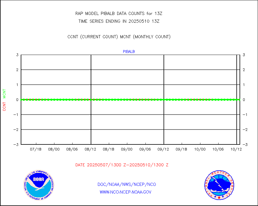
acars |
MDCRS ACARS acft data from ARINC(dcded from BUFR) |
40558 |
40051 |
101.3 % |
1909.75-1916.25 |
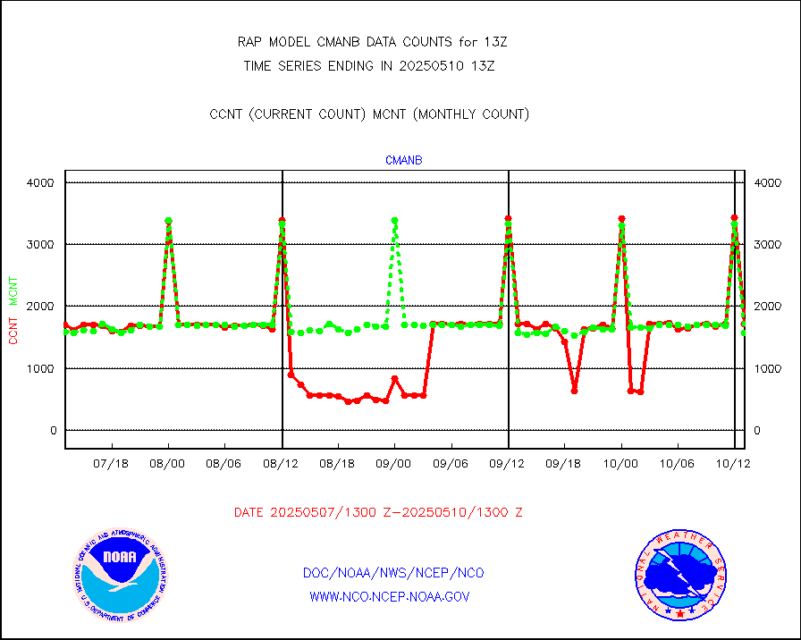
cmanb |
Surface Marine CMAN rpts decoded from BUFR format |
1643 |
1691 |
97.2 % |
1912.50-1913.50 |
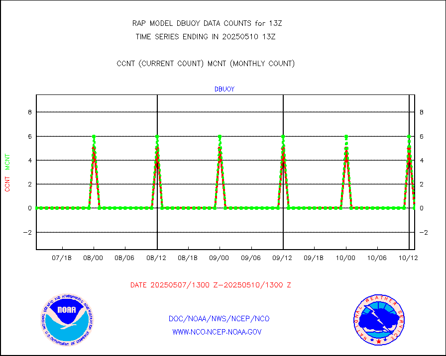
dbuoy |
Buoys decoded from FM-18 fmt (moored or drifting) |
0 |
0 |
n/a |
1912.50-1913.50 |
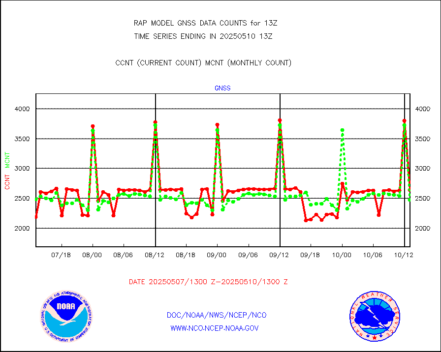
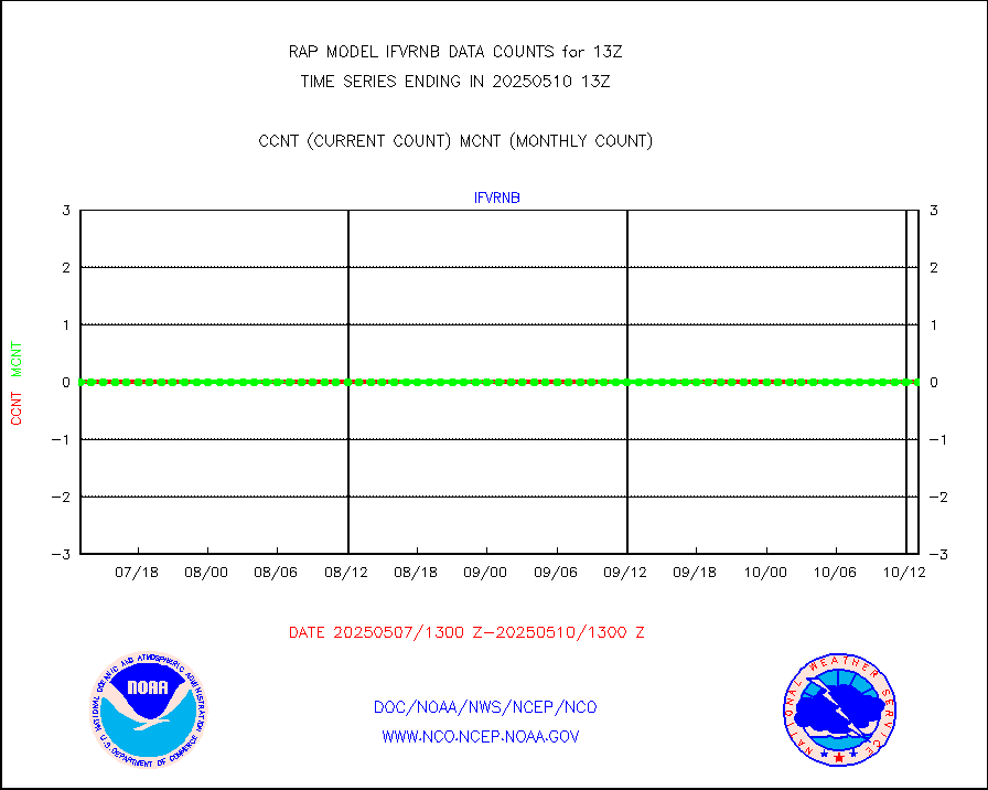
gnss |
Grnd-based Gbl Navigation Sat System (GNSS) data |
2589 |
2598 |
99.7 % |
1911.95-1912.05 |
h20mo |
MODIS (AQUA/TERRA) wvpr imager derived cld motion |
0 |
0 |
n/a |
1910.50-1915.50 |
infmo |
MODIS (AQUA/TERRA) ir l-wave derived cloud motion |
0 |
0 |
n/a |
1910.50-1915.50 |
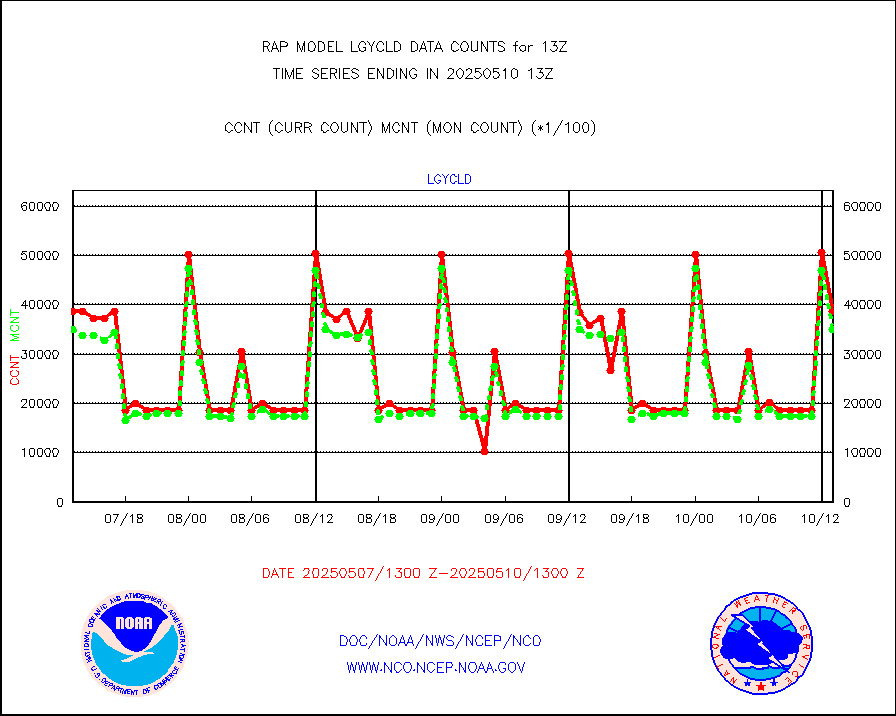
lgycld |
GOES/NASA(Langley) hi-res. (1x1 f-o-v) cloud data |
3715067 |
3061113 |
121.4 % |
1912.50-1913.50 |
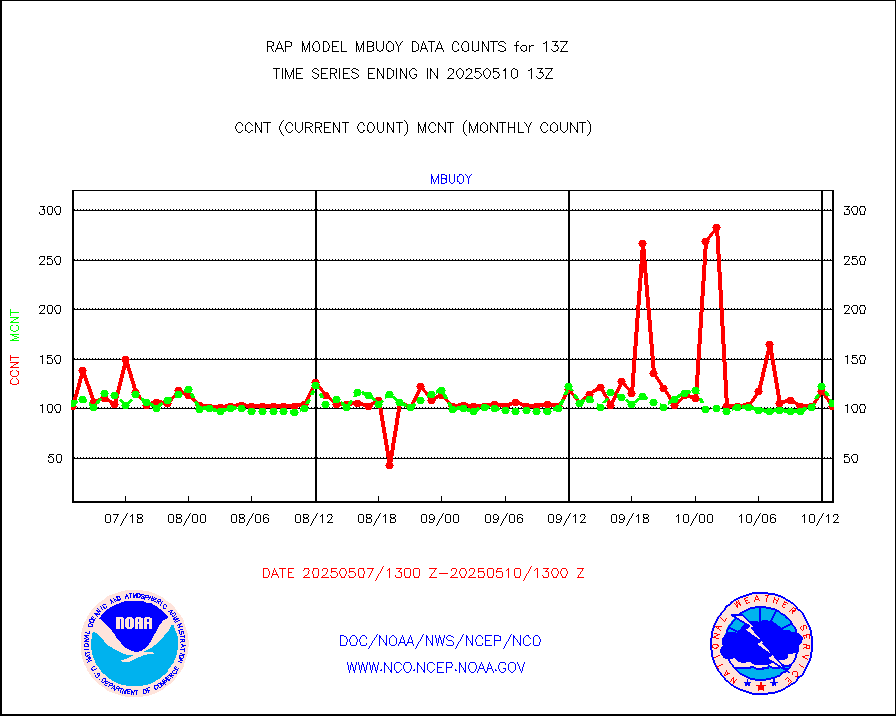
mbuoy |
Buoys decoded from FM-13 format (moored) |
54 |
58 |
93.1 % |
1912.50-1913.50 |
metar |
Aviation - METAR |
5821 |
6029 |
96.6 % |
1912.50-1913.50 |
nxrdw |
NEXRAD Vel Azm Dsp(VAD) winds via radar coded msg |
0 |
0 |
n/a |
1912.00-1914.00 |
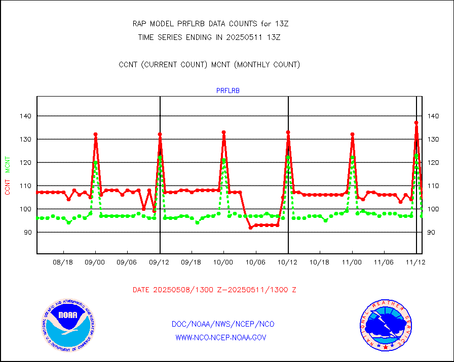
prflrb |
Multi-Agency Profiler (MAP) and SODAR winds |
72 |
83 |
86.7 % |
1911.50-1914.50 |
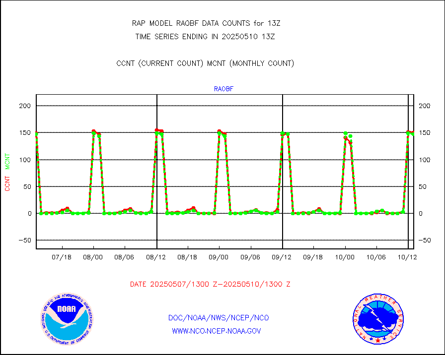
raobf |
Rawinsonde - fixed land (from TEMP or PILOT) |
154 |
158 |
97.5 % |
1912.00-1914.00 |
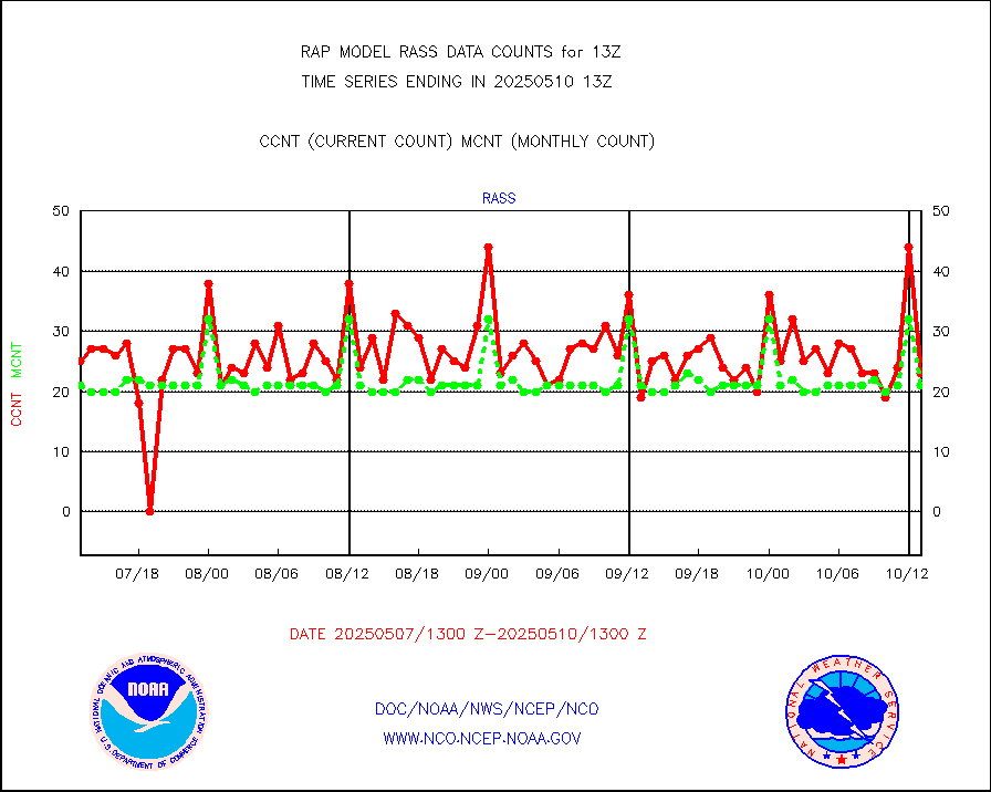
rass |
RASS temperatures (NOAA and Multi-Agency) |
17 |
21 |
81.0 % |
1912.50-1913.50 |
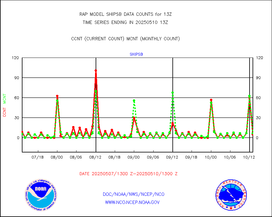
shipsb |
Ship - manual and automatic, restricted (BUFR) |
1 |
0 |
n/a |
1912.50-1913.50 |
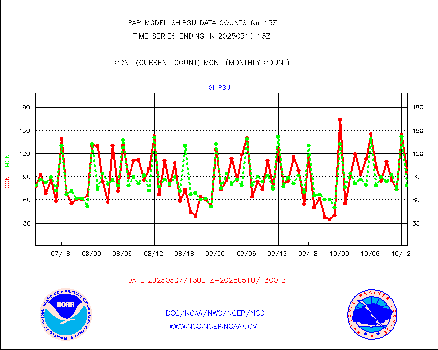
shipsu |
Ship - manual and automatic, unrestricted |
47 |
54 |
87.0 % |
1912.50-1913.50 |
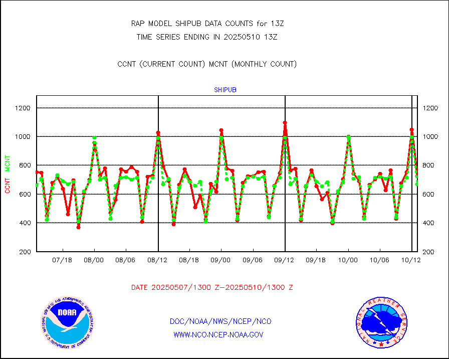
shipub |
Ship - manual and automatic, unrestricted (BUFR) |
590 |
615 |
95.9 % |
1912.50-1913.50 |
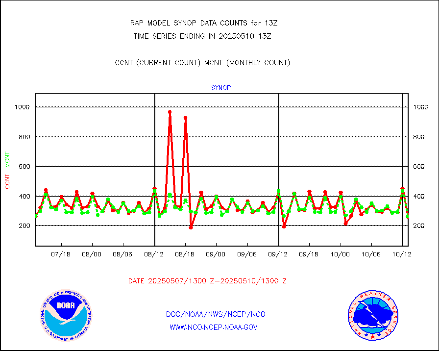
synop |
Synoptic - fixed manual and automatic |
302 |
303 |
99.7 % |
1912.50-1913.50 |
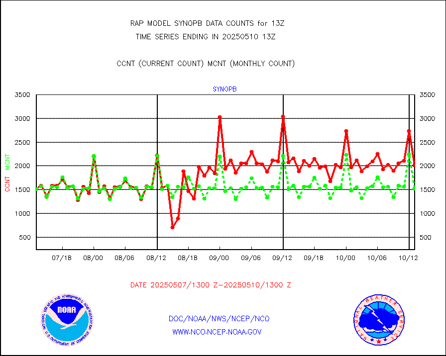
synopb |
Synoptic - fixed manual & auto (decoded fr BUFR) |
1735 |
1614 |
107.5 % |
1912.50-1913.50 |
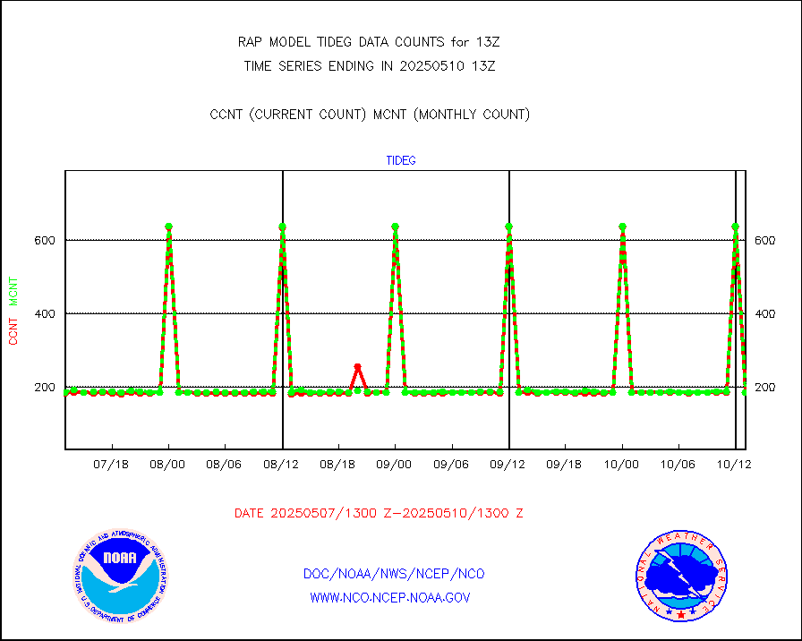
tideg |
Tide gauge reports decoded from CREX format |
182 |
181 |
100.6 % |
1912.50-1913.50 |
| Data Types of Opportunity with Normal Counts |
|---|
| Type | Description | Hourly Count | Monthly Average | Percent (%) of Monthly Mean | UTC Time Window |
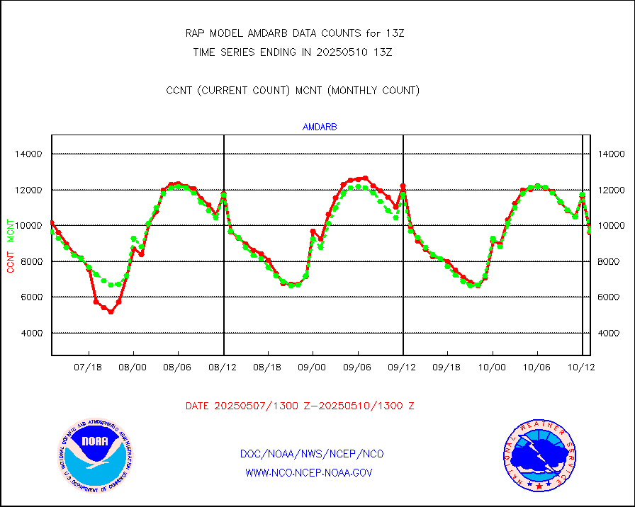
3p9usr |
GOES-16&up/NESDIS ir short-wv derived cld motion |
8856 |
9685 |
91.4 % |
1912.00-1912.99 |
acarsa |
MDCRS ACARS acft data (ARINC via AFWA)(AIREP fmt) |
0 |
0 |
n/a |
1909.75-1916.25 |
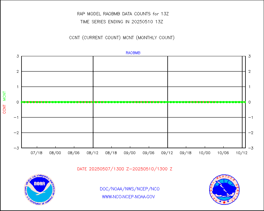
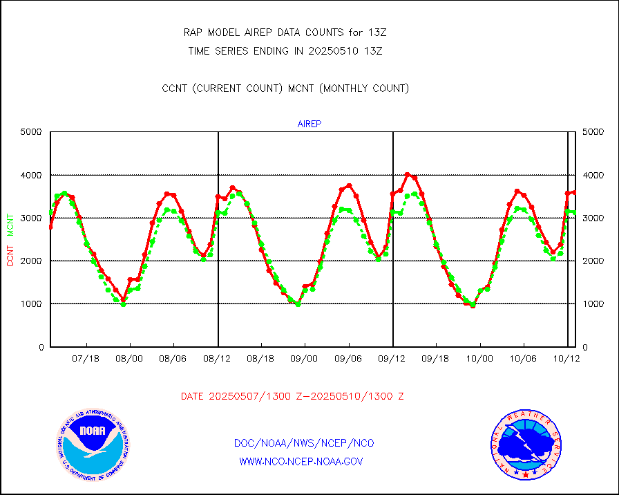
airep |
Manual AIREP aircraft data (dcded from AIREP fmt) |
5078 |
4618 |
110.0 % |
1909.75-1916.25 |
airsev |
AQUA AIRS/AMSU-A/HSB brightness temps- every FOV |
0 |
0 |
n/a |
1910.00-1915.99 |
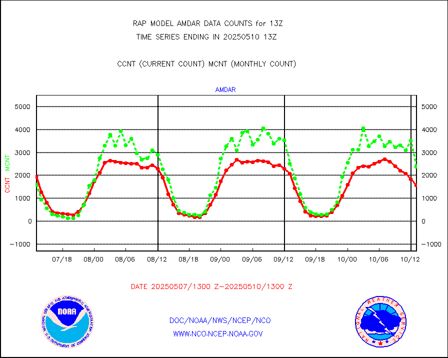
amdar |
AMDAR aircraft data (decoded from AMDAR format) |
1876 |
1826 |
102.7 % |
1909.75-1916.25 |
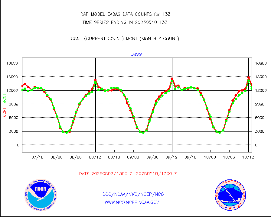
amdarb |
AMDAR aircraft data (decoded from BUFR) |
4971 |
4831 |
102.9 % |
1909.75-1916.25 |
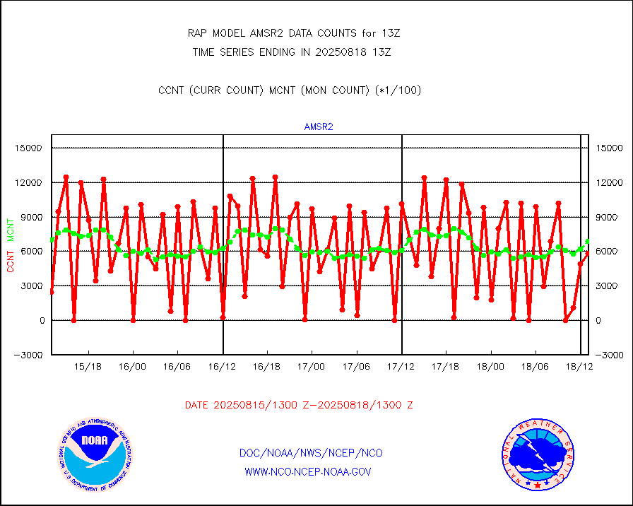
amsr2 |
GCOM-W AMSR2 1B brightness temperatures |
924878 |
665324 |
139.0 % |
1910.00-1910.99 |
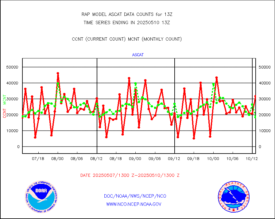
ascat |
METOP 1-2 ASCAT products |
18127 |
15546 |
116.6 % |
1911.00-1915.00 |
atms |
NPP/NOAA-20 ATMS brightness temperatures |
199102 |
212437 |
93.7 % |
1911.00-1914.99 |
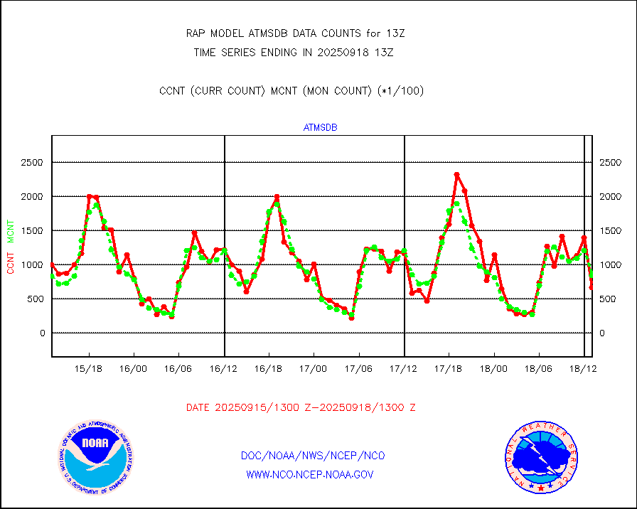
atmsdb |
NPP/NOAA-20 ATMS bright. temps-direct b-cast SSEC |
140303 |
148726 |
94.3 % |
1911.00-1914.99 |
coopmd |
Coop/MADIS NEPP & HCN-Modernization NOAA COOP Obs |
27 |
27 |
100.0 % |
1912.50-1913.50 |
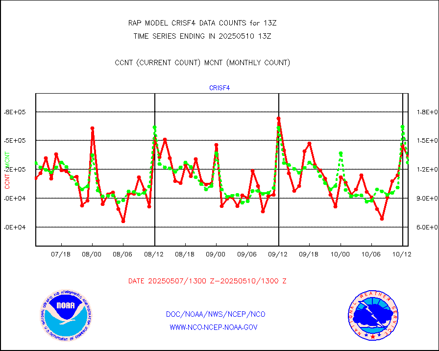
crisf4 |
NPP/NOAA-20 CrIS full spctrl radn (431 ch subset) |
152798 |
124729 |
122.5 % |
1911.00-1914.99 |
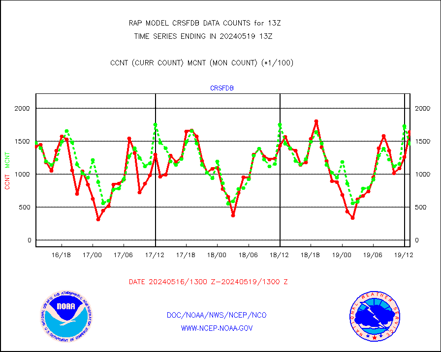
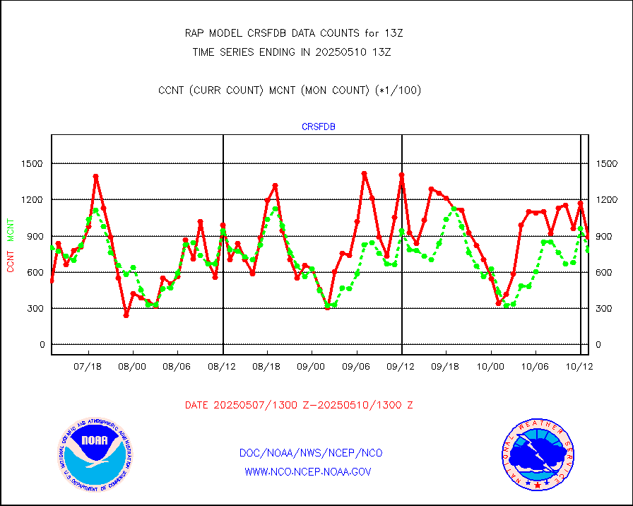
crsfdb |
NPP/NOAA-20 CrIS full spctrl radn dir brdcst SSEC |
164069 |
146551 |
112.0 % |
1911.00-1914.99 |
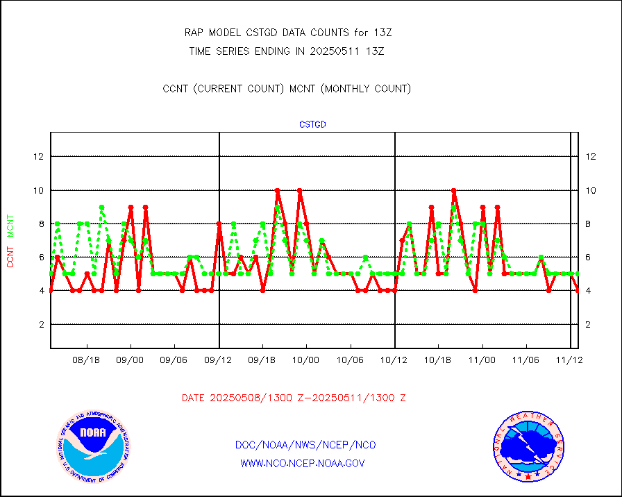
cstgd |
Coast Guard |
3 |
3 |
100.0 % |
1912.50-1913.50 |
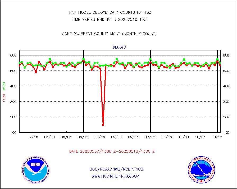
dbuoyb |
Drifting buoys (decoded from BUFR) |
606 |
579 |
104.7 % |
1912.50-1913.50 |
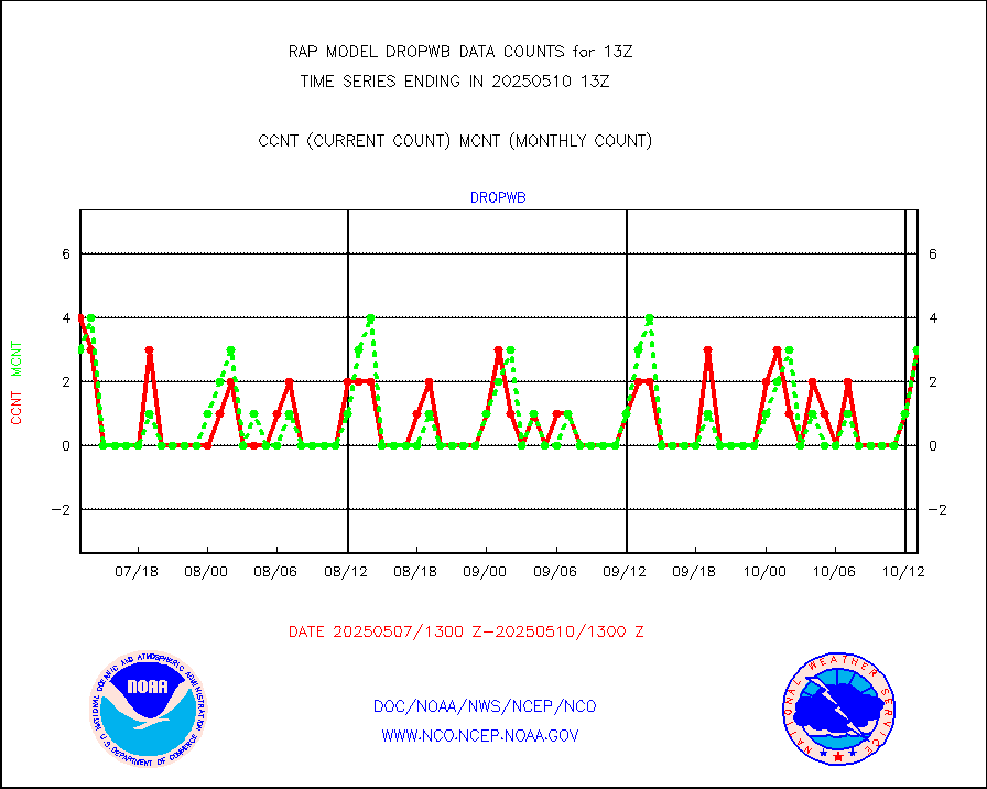
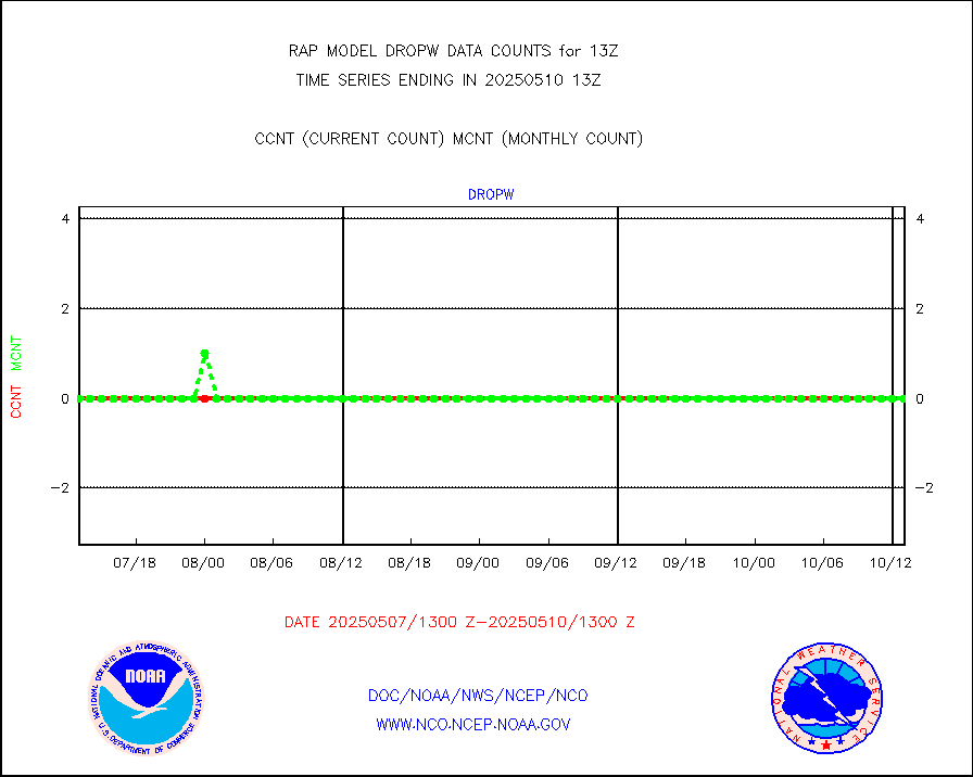
dropw |
Dropwinsonde (from TEMP DROP) |
0 |
0 |
n/a |
1912.00-1914.00 |
eadas |
E-AMDAR (European AMDAR acft decoded from BUFR) |
10013 |
9361 |
107.0 % |
1909.75-1916.25 |
esamua |
NOAA 15-19 & METOP 1-2 AMSU-A proc btmps frm RARS |
8027 |
10040 |
80.0 % |
1912.00-1914.00 |
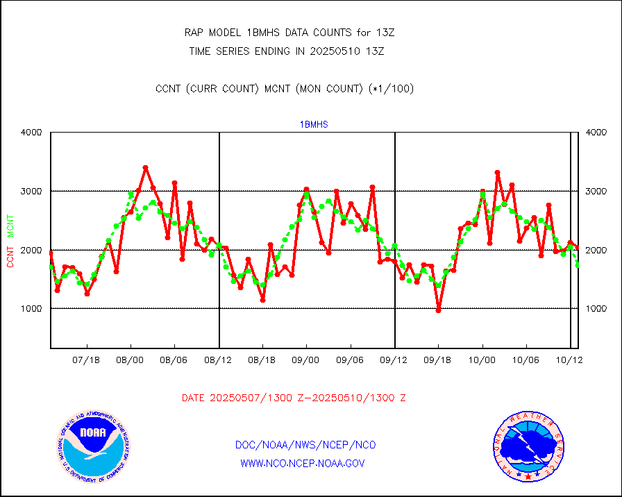
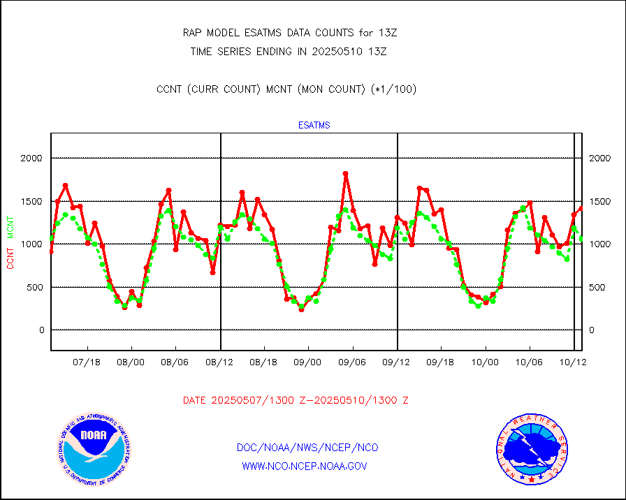
esatms |
NPP Adv. Tech. MW Sndr (ATMS) br. temps from RARS |
104185 |
111040 |
93.8 % |
1911.00-1914.99 |
eshrs3 |
NOAA 15-19 & METOP 1-2 HIRS-3/4 pr btmps frm RARS |
17209 |
24128 |
71.3 % |
1912.00-1914.00 |
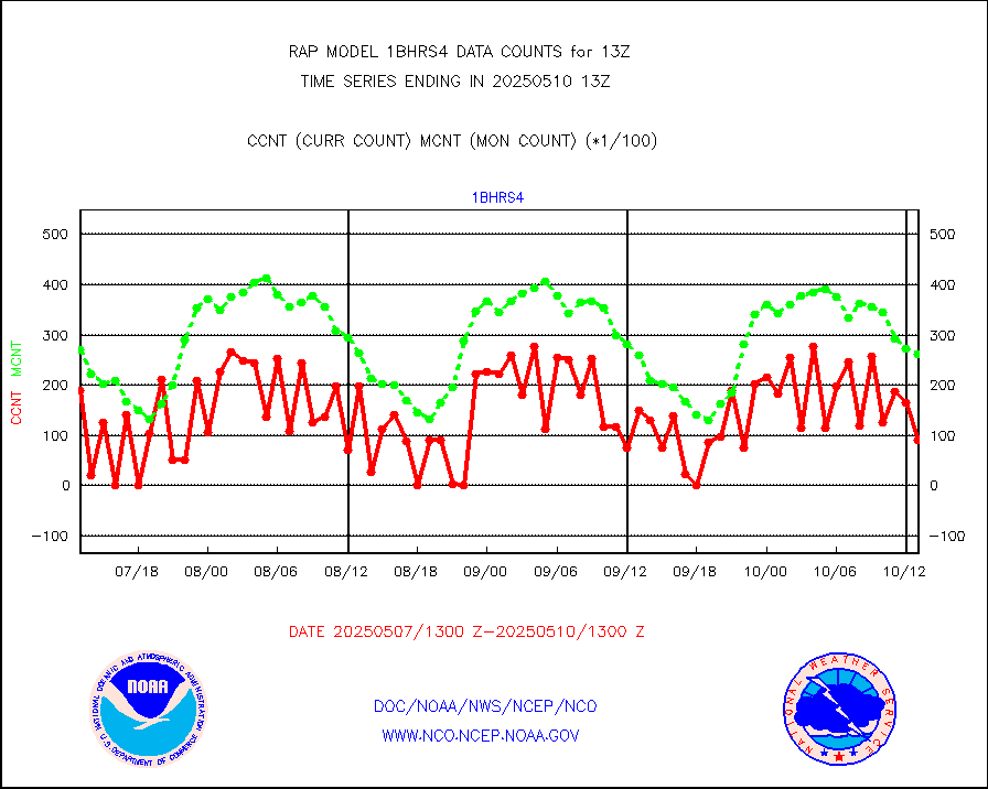
esiasi |
METOP 1-2 IASI 1C radiance data vbl chn from RARS |
94878 |
90732 |
104.6 % |
1911.00-1914.99 |
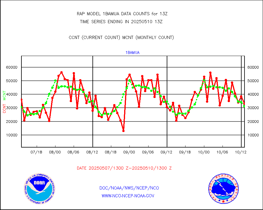
esmhs |
NOAA 18-19 & METOP 1-2 MHS proc. btemps from RARS |
96379 |
64790 |
148.8 % |
1912.00-1914.00 |
gmi1cr |
GPM GMI Level 1C-R brightness temperatures |
321669 |
410402 |
78.4 % |
1910.00-1915.99 |
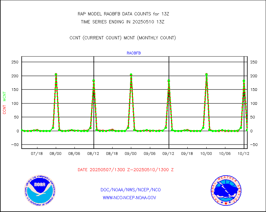
gpsro |
GPS radio occultation data |
144 |
117 |
123.1 % |
1911.00-1914.99 |
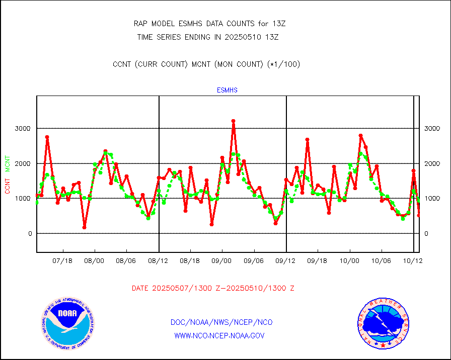
gsrasr |
GOES-16/17 All Sky Radiances (proc.) |
959751 |
941276 |
102.0 % |
1911.00-1914.99 |
gsrcsr |
GOES-16/17 Clear Sky Radiances (proc.) |
403492 |
432924 |
93.2 % |
1911.00-1914.99 |
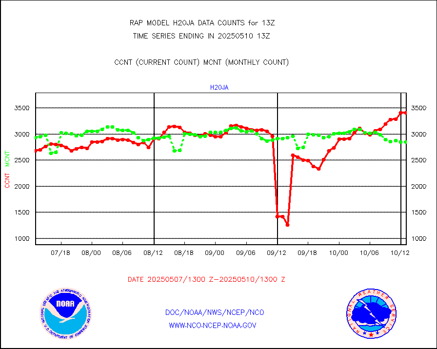
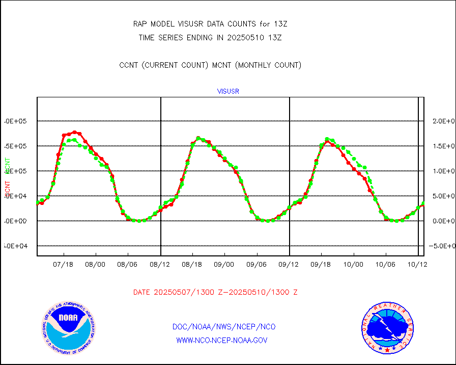
h20ja |
MTSAT/JMA water vapor imager derived cloud motion |
2788 |
3014 |
92.5 % |
1910.50-1915.50 |
h2dusr |
GOES-16&up/NESDIS wv imgr/deep-lyr derivd cld mtn |
7181 |
7059 |
101.7 % |
1912.00-1912.99 |
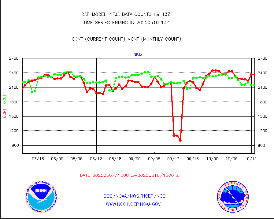
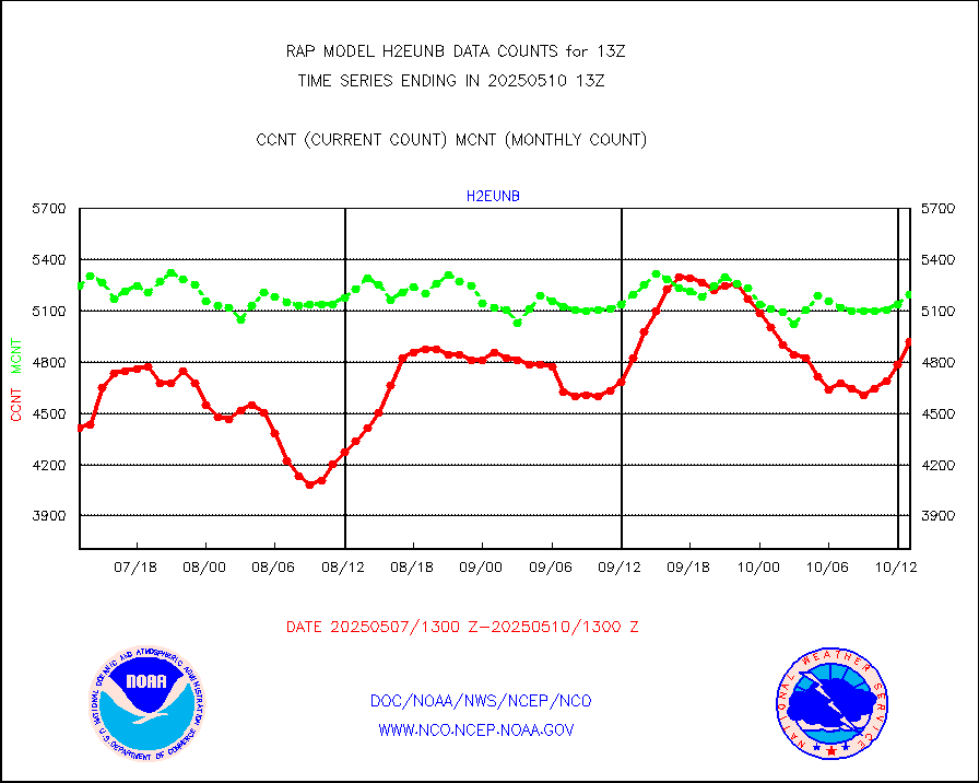
h2eunb |
METEOSAT/EUMETSAT wvpr imgr drv cld motion NBseq |
5679 |
5228 |
108.6 % |
1911.50-1914.49 |
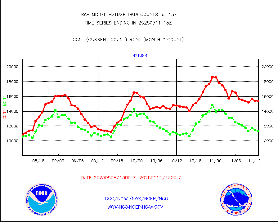
h2tusr |
GOES-16&up/NESDIS wv imgr/cld-top derived cld mtn |
11037 |
10489 |
105.2 % |
1912.00-1912.99 |
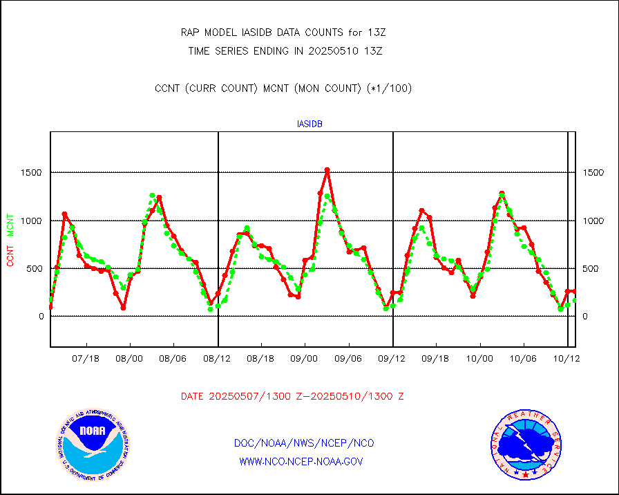
iasidb |
METOP 1-2 IASI 1C radiances-direct broadcast SSEC |
1884 |
2970 |
63.4 % |
1911.00-1914.99 |
ifeunb |
METEOSAT/EUMETSAT ir lg-wave drv cld motion NBseq |
3330 |
3277 |
101.6 % |
1911.50-1914.49 |
ifvrnb |
VIIRS (NPP/NOAA-20) ir lg-wv drv cloud motion(NB) |
0 |
0 |
n/a |
1910.50-1915.50 |
infav |
AVHRR (NOAA/METOP) ir lg-wave derived cld motion |
0 |
0 |
n/a |
1910.50-1915.50 |
infav1 |
AVHRR (METOP) ir lg-wave derived cld motion |
0 |
0 |
n/a |
1911.50-1914.49 |
infja |
MTSAT/JMA infrared long-wave derived cloud motion |
2298 |
2446 |
93.9 % |
1910.50-1915.50 |
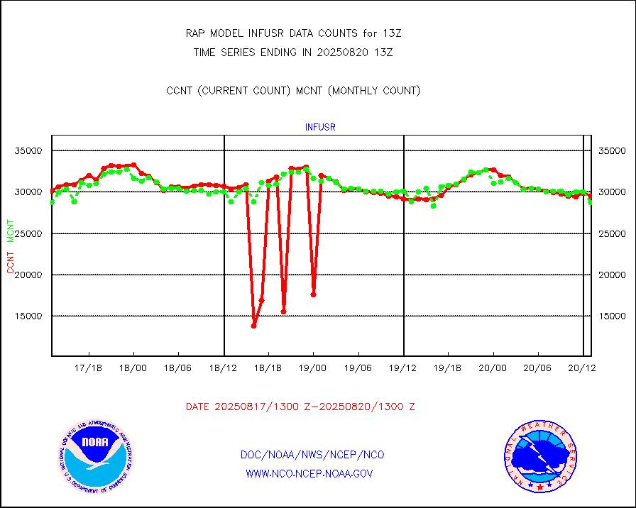
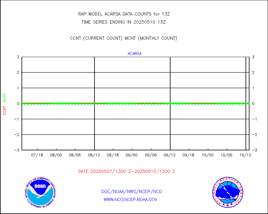
infusr |
GOES-16&up/NESDIS ir long-wave derived cld motion |
28020 |
28362 |
98.8 % |
1912.00-1912.99 |
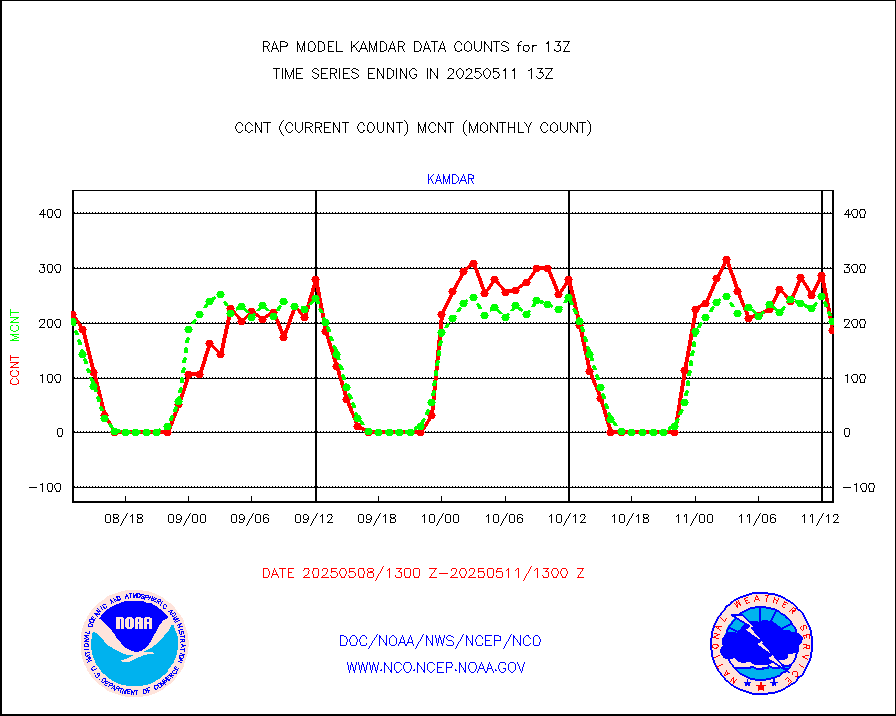
kamdar |
Korean AMDAR aircraft data (decoded from BUFR) |
340 |
247 |
137.7 % |
1909.75-1916.25 |
lcman |
Land-based CMAN stations decoded from CMAN format |
70 |
70 |
100.0 % |
1912.50-1913.50 |
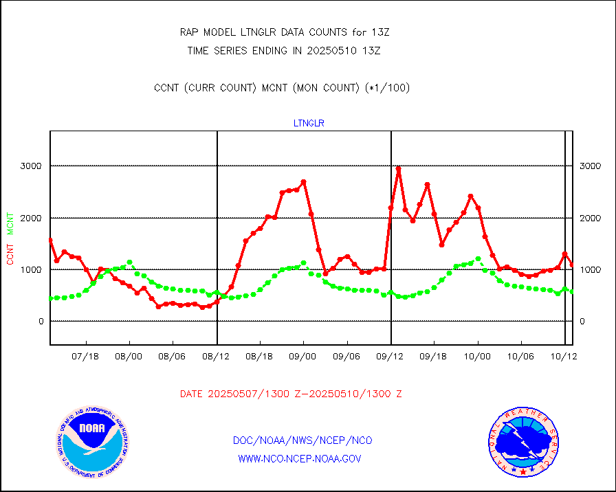
ltnglr |
LLDN Long-rng lightning from Vaisala via NOAAPORT |
137581 |
79764 |
172.5 % |
1912.00-1913.50 |
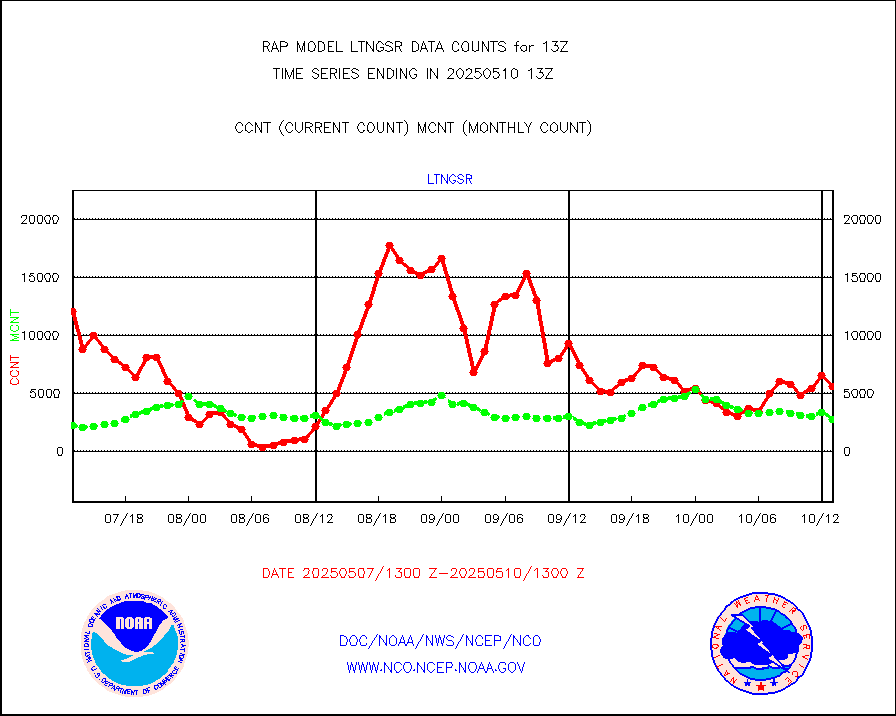
ltngsr |
NLDN Shrt-rng lightning from Vaisala via NOAAPORT |
6707 |
4000 |
167.7 % |
1912.00-1913.50 |
mbuoyb |
Moored buoys (decoded from BUFR) |
612 |
554 |
110.5 % |
1912.50-1913.50 |
mso470 |
Mesonet/MADIS Colorado E-470 (Interstate 470) |
21 |
20 |
105.0 % |
1912.50-1913.50 |
msoalk |
Mesonet/MADIS Alaska Department of Transportation |
109 |
104 |
104.8 % |
1912.50-1913.50 |
msoapg |
Mesonet/MADIS U.S. Army Aberdeen Proving Grounds |
0 |
0 |
n/a |
1912.50-1913.50 |
msoapr |
Mesonet/MADIS Citizen Weather Observers Program |
43444 |
45384 |
95.7 % |
1912.50-1913.50 |
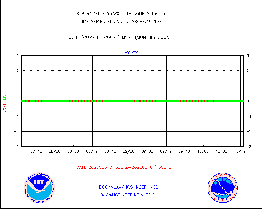
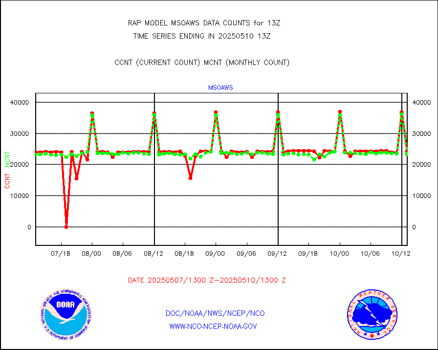
msoaws |
Mesonet/MADIS AWS Convergence Technologies, Inc. |
24298 |
25711 |
94.5 % |
1912.50-1913.50 |
msoawx |
Mesonet/MADIS "Anything Weather" |
0 |
0 |
n/a |
1912.50-1913.50 |
msocol |
Mesonet/MADIS Colorado Dept. of Transportation |
0 |
0 |
n/a |
1912.50-1913.50 |
msodcn |
Mesonet/MADIS DC Net |
0 |
0 |
n/a |
1912.50-1913.50 |
msoden |
Mesonet/MADIS Denver Urban Drainage & Flood Cntrl |
225 |
223 |
100.9 % |
1912.50-1913.50 |
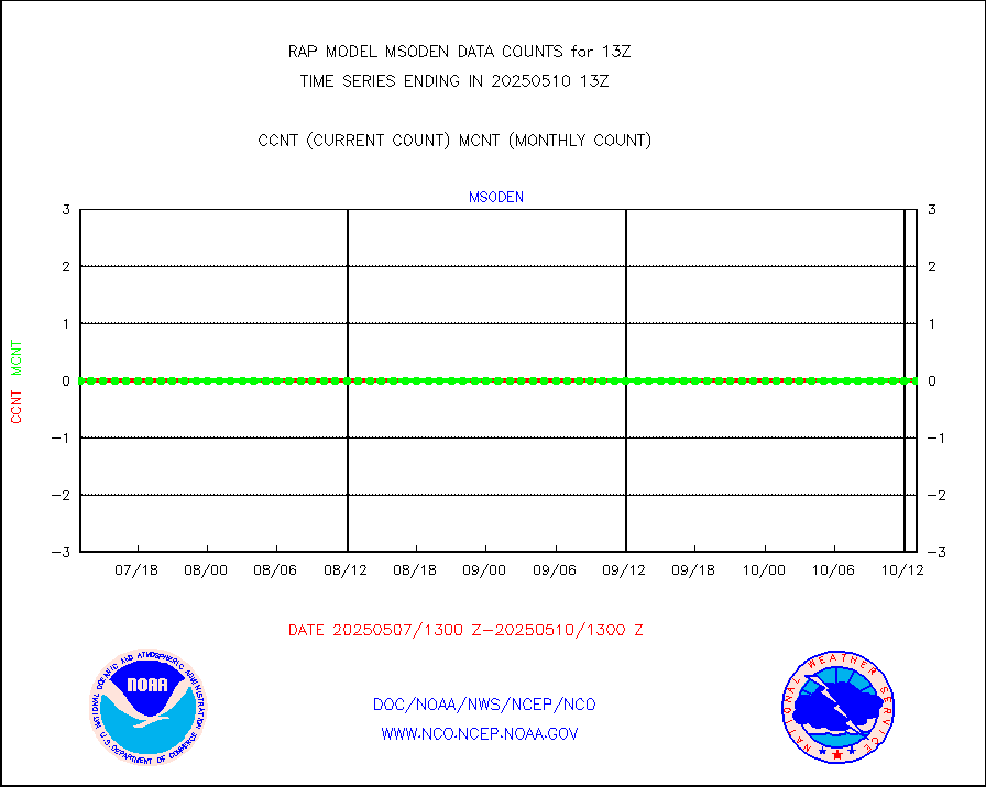
msofla |
Mesonet/MADIS Florida (FAWN & USF) |
3 |
3 |
100.0 % |
1912.50-1913.50 |
msoflt |
Mesonet/MADIS Florida Dept. of Transportation |
0 |
0 |
n/a |
1912.50-1913.50 |
msogeo |
Mesonet/MADIS Georgia Dept. of Transportation |
0 |
0 |
n/a |
1912.50-1913.50 |
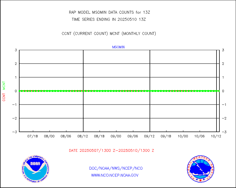
msohad |
Mesonet/MADIS NWS Hydromet Auto Data System(HADS) |
5867 |
5484 |
107.0 % |
1912.50-1913.50 |
msoien |
Mesonet/MADIS Iowa Environmental |
168 |
164 |
102.4 % |
1912.50-1913.50 |
msoind |
Mesonet/MADIS Indiana Dept. of Transportation |
0 |
0 |
n/a |
1912.50-1913.50 |
msoiow |
Mesonet/MADIS Iowa Department of Transportation |
0 |
0 |
n/a |
1912.50-1913.50 |
msokan |
Mesonet/MADIS Kansas Department of Transportation |
300 |
302 |
99.3 % |
1912.50-1913.50 |
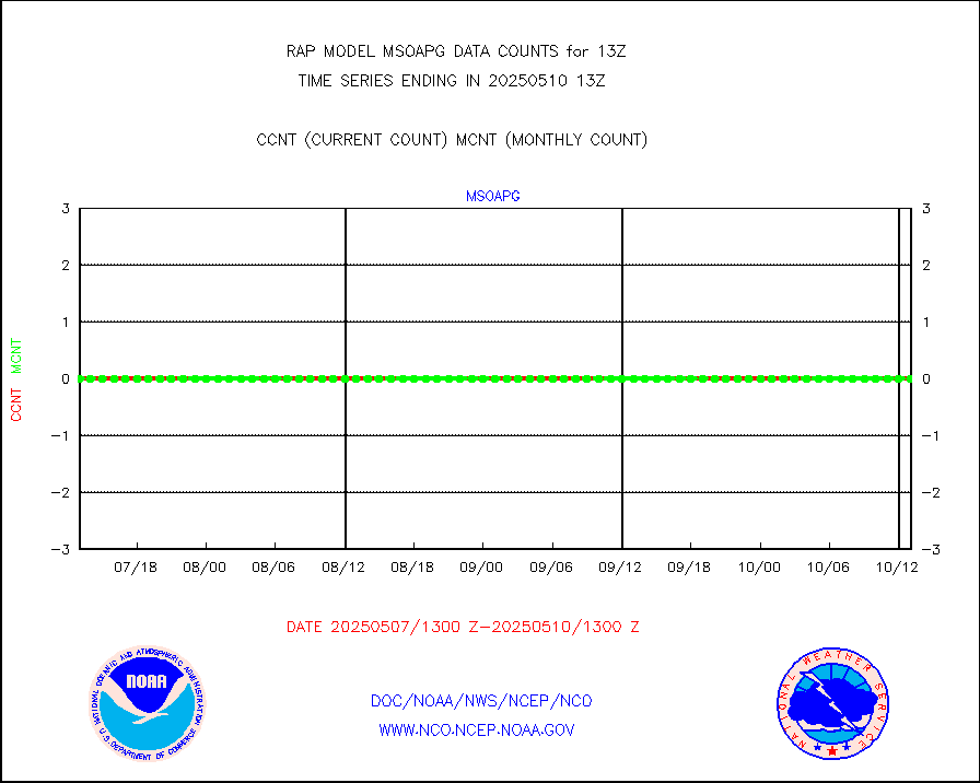
msokla |
Mesonet/MADIS Oklahoma Mesonet |
318 |
311 |
102.3 % |
1912.50-1913.50 |
msolju |
Mesonet/MADIS Louisiana State/Jackson State Univ. |
0 |
0 |
n/a |
1912.50-1913.50 |
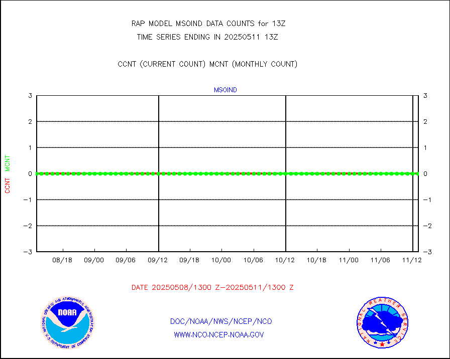
msomca |
Mesonet/MADIS Missouri Commercial Agricult Wx Net |
262 |
261 |
100.4 % |
1912.50-1913.50 |
msomin |
Mesonet/MADIS Minnesota Dept. of Transportation |
0 |
0 |
n/a |
1912.50-1913.50 |
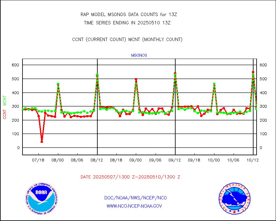
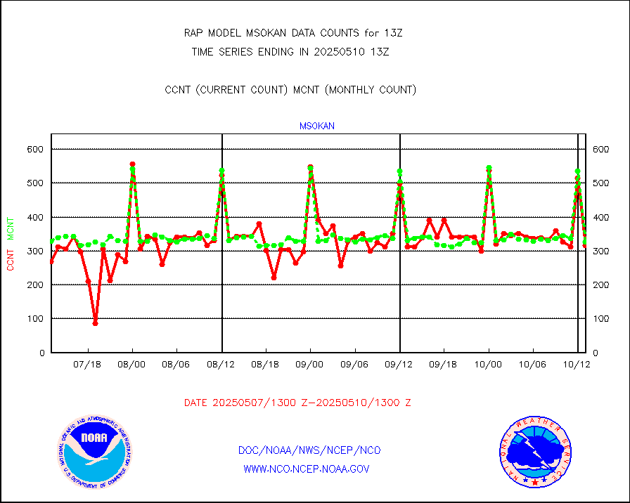
msonos |
Mesonet/MADIS NOS-Phys Oceanographic Realtime Sys |
292 |
285 |
102.5 % |
1912.50-1913.50 |
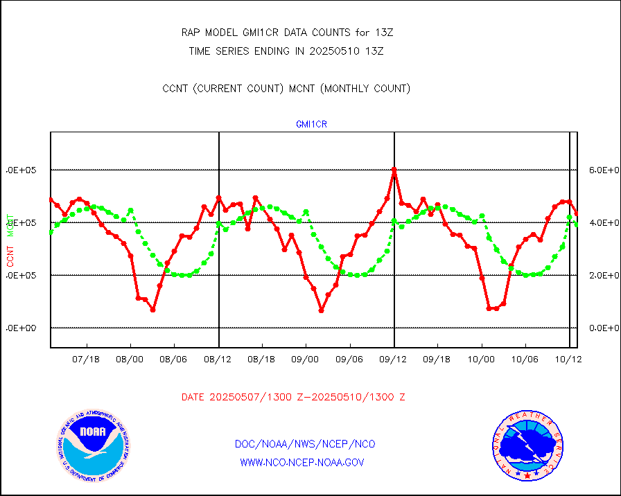
msoraw |
Mesonet/MADIS NFIC Remote Automated Wx Stns(RAWS) |
1699 |
1529 |
111.1 % |
1912.50-1913.50 |
msourb |
Mesonet/MADIS UrbaNet |
3924 |
3936 |
99.7 % |
1912.50-1913.50 |
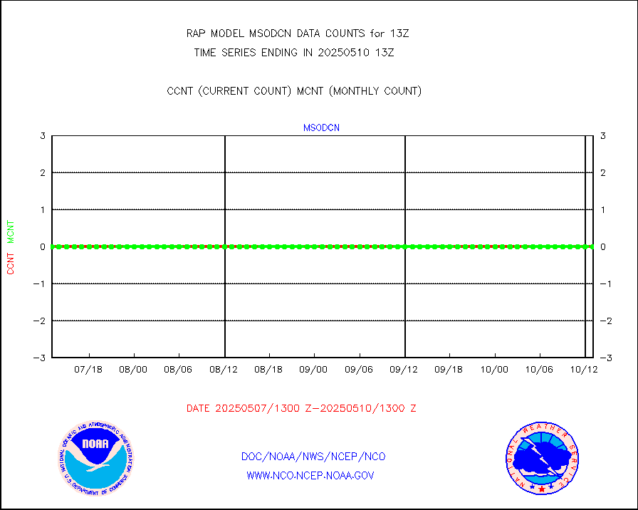
msovir |
Mesonet/MADIS Virginia Dept. of Transportation |
208 |
226 |
92.0 % |
1912.50-1913.50 |
msowfy |
Mesonet/MADIS "Weather for You" |
0 |
0 |
n/a |
1912.50-1913.50 |
msowis |
Mesonet/MADIS Wisconsin Dept. of Transportation |
0 |
0 |
n/a |
1912.50-1913.50 |
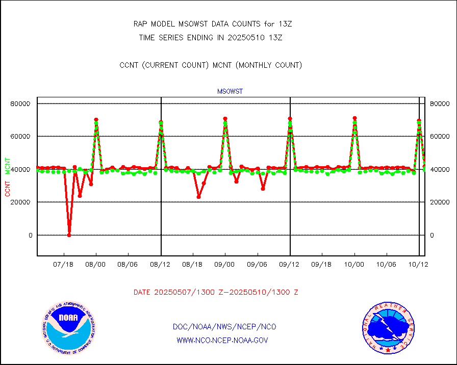
msowst |
Mesonet/MADIS MesoWest (many subproviders) |
41439 |
39868 |
103.9 % |
1912.50-1913.50 |
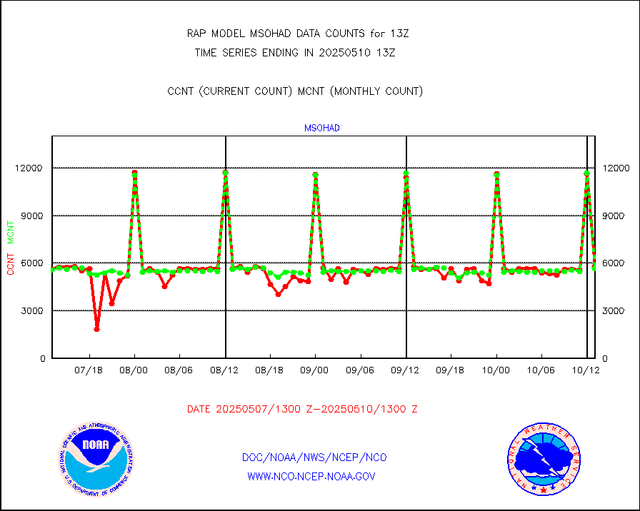
msowtx |
Mesonet/MADIS West Texas |
4982 |
4884 |
102.0 % |
1912.50-1913.50 |
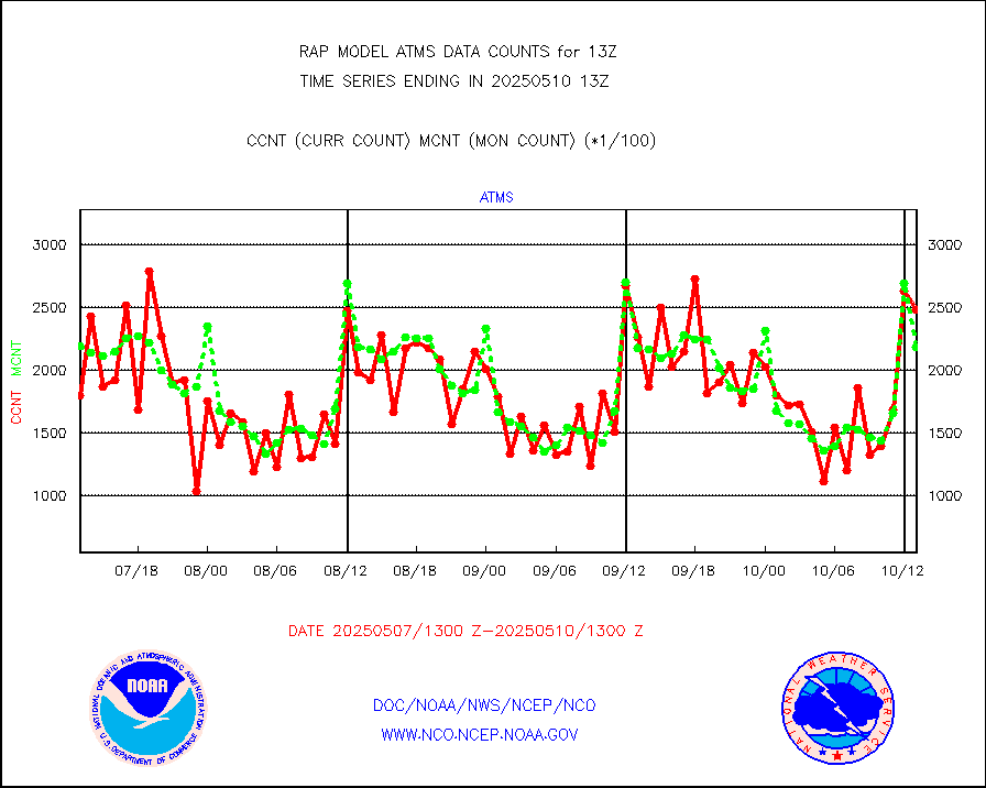
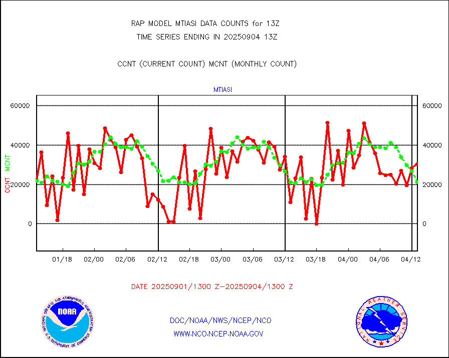
mtiasi |
METOP 1-2 IASI 1C radiance data (varbl. channels) |
27242 |
18384 |
148.2 % |
1911.00-1914.99 |
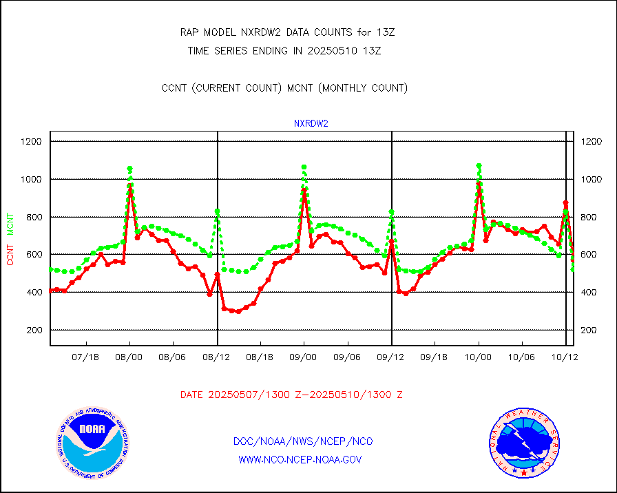
nxrdw2 |
NEXRAD Vel Azm Dsp(VAD) winds via Level 2 decoder |
672 |
577 |
116.5 % |
1912.00-1914.00 |
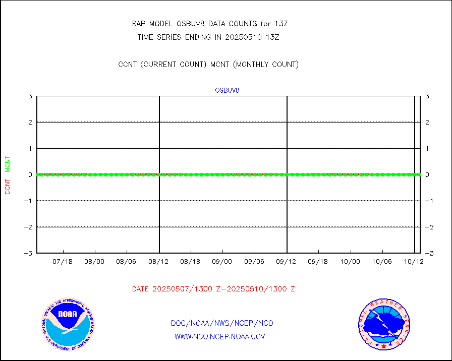
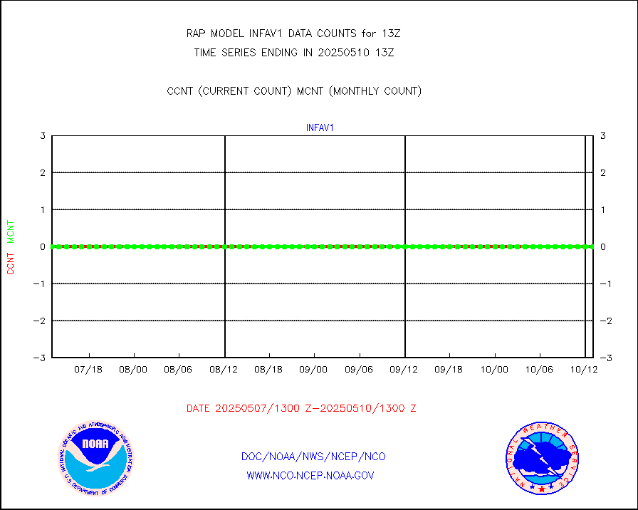
osbuv8 |
NOAA 16-19 Solar Backscatter UV-2 rad frm V8 BUFR |
0 |
0 |
n/a |
1911.00-1913.99 |
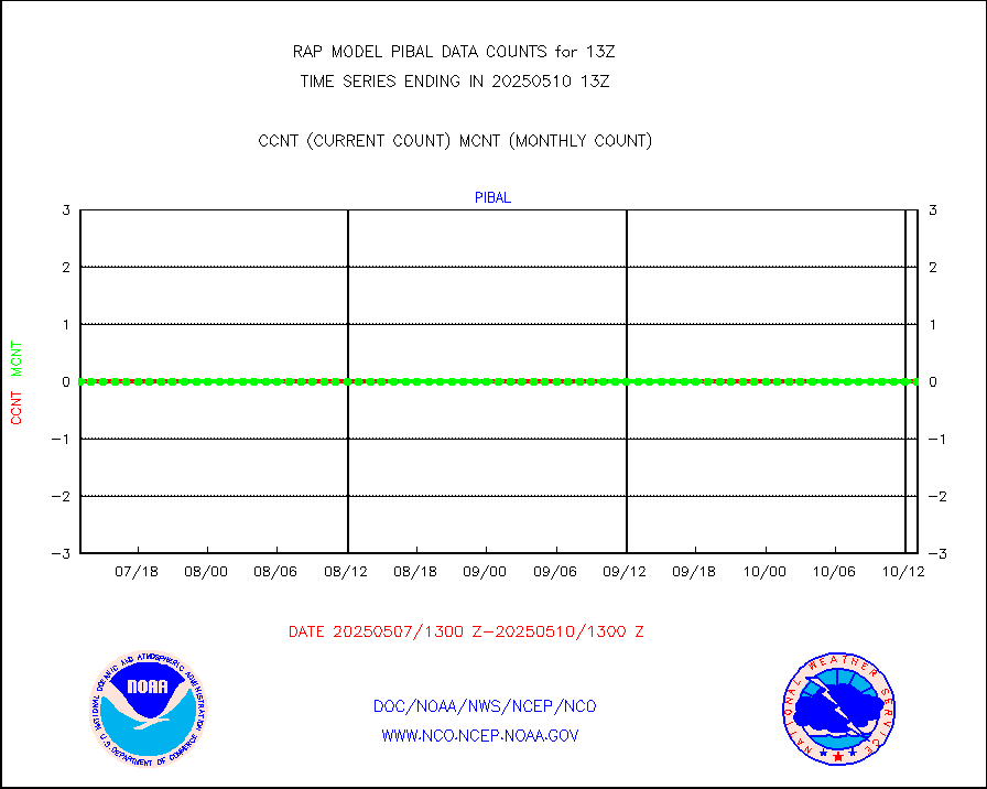
pibal |
PIBAL (from PILOT, PILOT SHIP, PILOT MOBIL) |
0 |
0 |
n/a |
1912.00-1914.00 |
pirep |
Manual PIREP aircraft data (dcded from AIREP fmt) |
355 |
415 |
85.5 % |
1909.75-1916.25 |
prflrp |
Profilr winds from PIBAL (PILOT,PILOT SHIP/MOBIL) |
0 |
0 |
n/a |
1911.50-1914.50 |
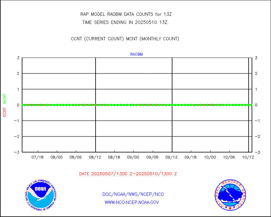
raobm |
Rawinsonde - mobile land (from TEMP/PILOT MOBIL) |
0 |
0 |
n/a |
1912.00-1914.00 |
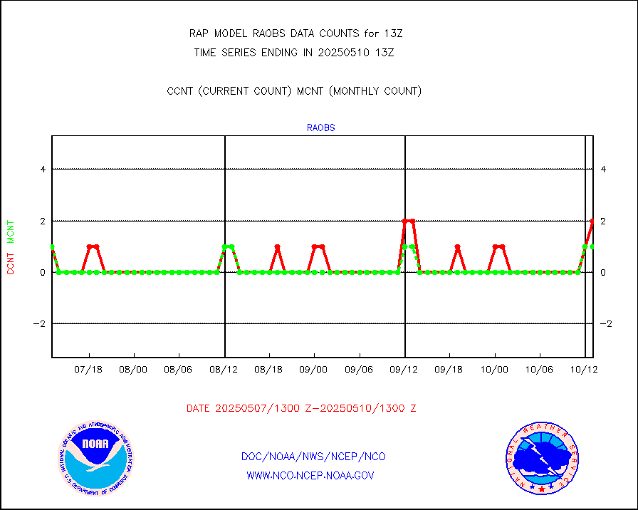
raobs |
Rawinsonde - ship (from TEMP SHIP, PILOT SHIP) |
1 |
2 |
50.0 % |
1912.00-1914.00 |
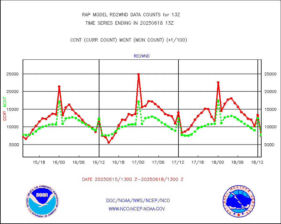
rd2wnd |
NEXRAD radial wind (Level 2 - GTS) |
784667 |
706357 |
111.1 % |
1912.50-1913.49 |
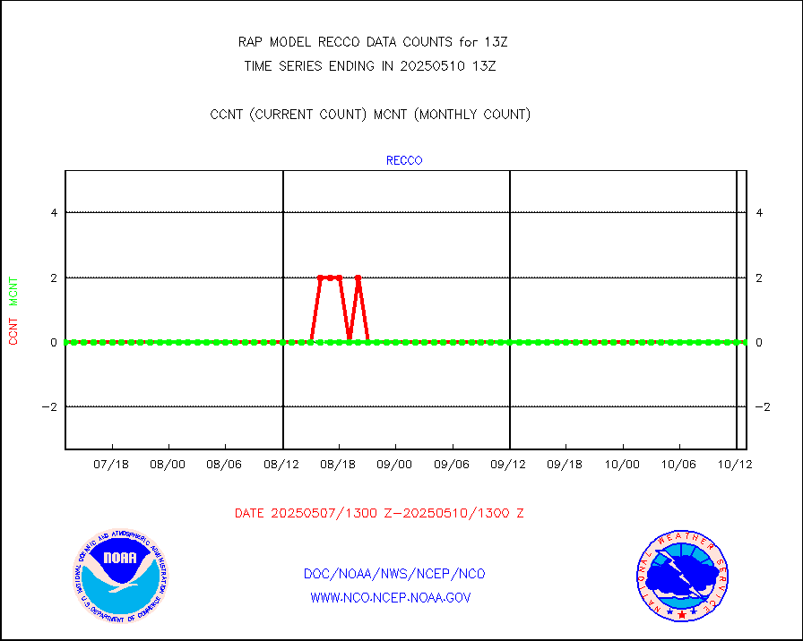
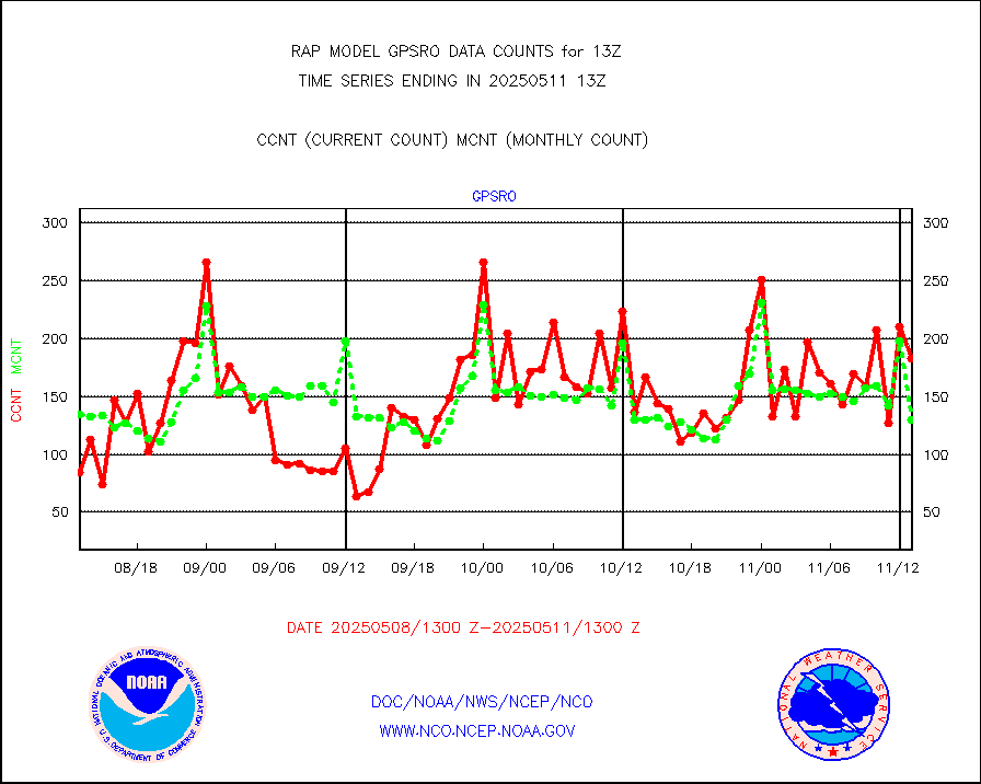
recco |
Flight level reconnaissance aircraft data |
0 |
0 |
n/a |
1912.00-1914.00 |
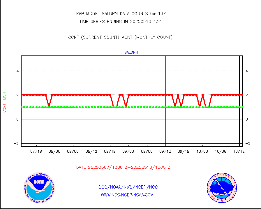
saldrn |
Surface Marine Saildrone (decoded from BUFR) |
2 |
2 |
100.0 % |
1911.00-1914.99 |
saphir |
Megha-Tropiques SAPHIR L1A2 brightness temps |
0 |
0 |
n/a |
1910.00-1915.99 |
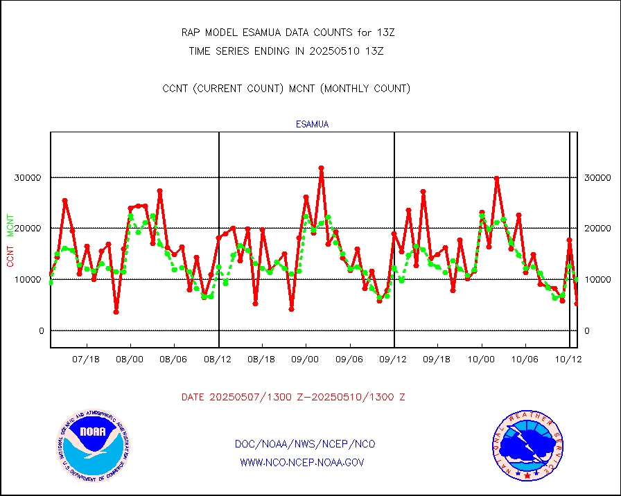
sevasr |
METEOSAT-10 2nd Gen SEVIRI All Sky Radiance(proc) |
9512 |
9512 |
100.0 % |
1911.00-1914.99 |
sevcsr |
METEOSAT-10 2nd Gen SEVIRI Clr Sky Radiance(proc) |
0 |
0 |
n/a |
1911.00-1914.99 |
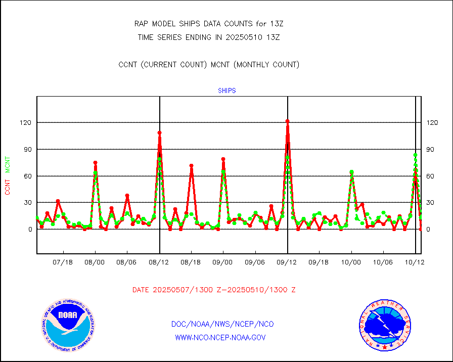
ships |
Ship - manual and automatic, restricted |
12 |
4 |
300.0 % |
1912.50-1913.50 |
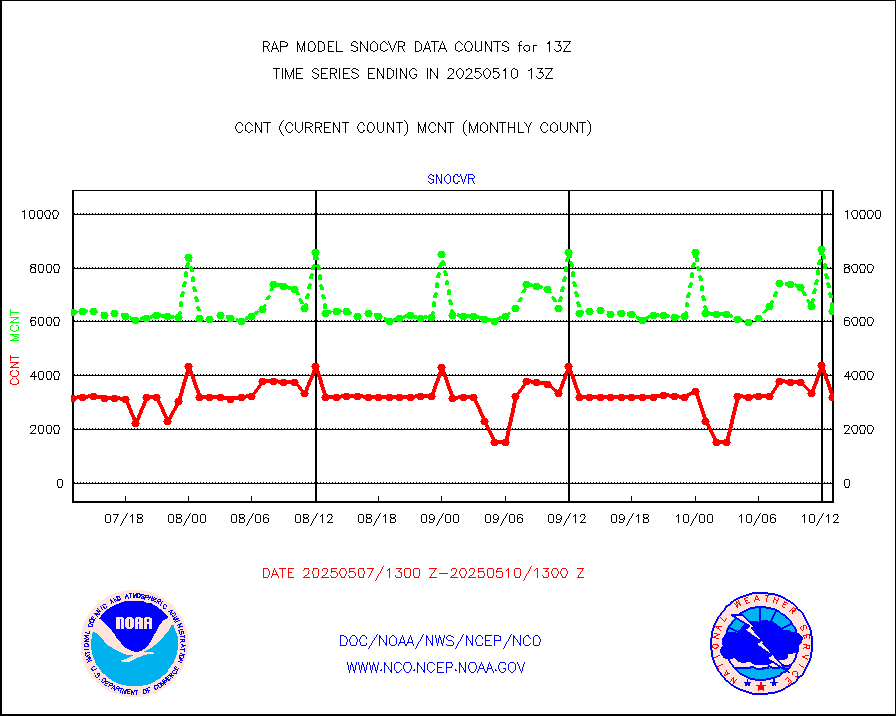
snocvr |
NOW COVER, DEPTH/DENSITY AND WATER EQUIVALENT |
3368 |
7014 |
48.0 % |
1911.00-1915.00 |
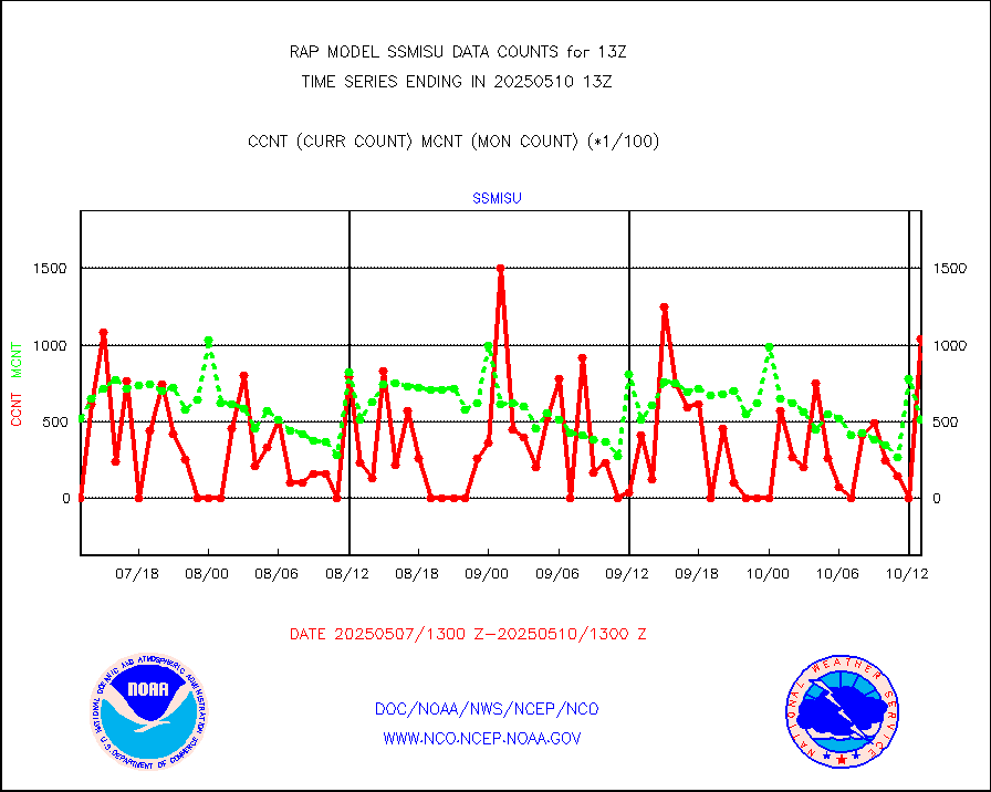
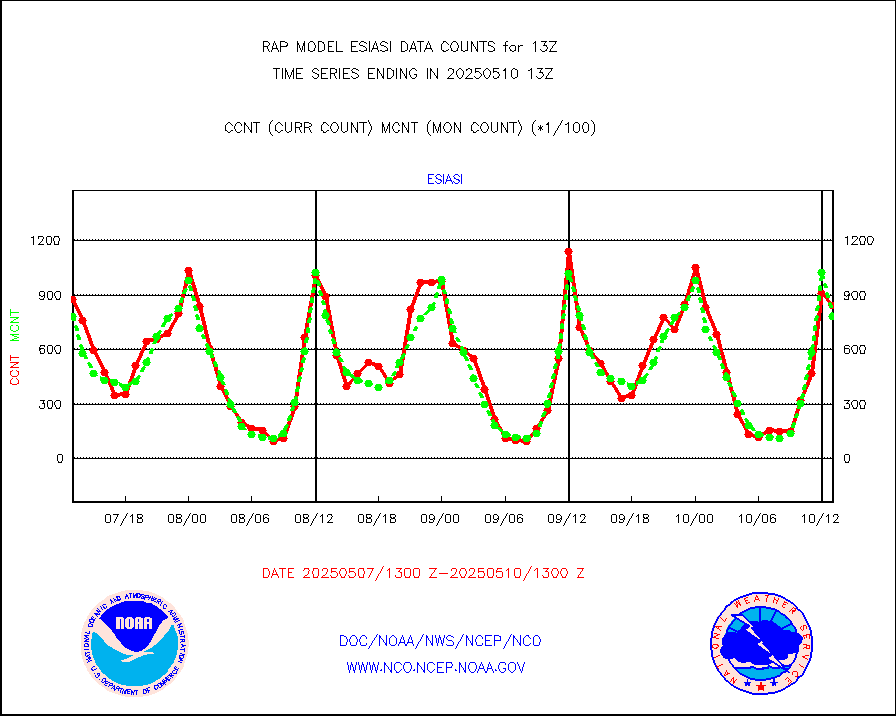
ssmisu |
DMSP SSM/IS 1C radiance data (Unified Pre-Proc.) |
0 |
27682 |
0.0 % |
1911.00-1914.99 |
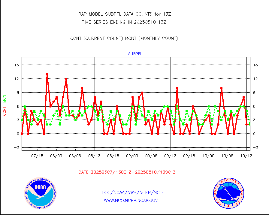
subpfl |
Sub-surface float and glider profile (BUFR) |
2 |
7 |
28.6 % |
1911.00-1914.99 |
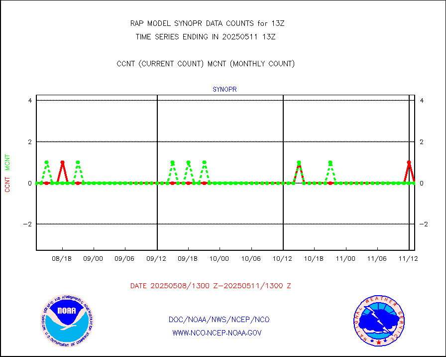
synopr |
Synoptic - restricted (WMO Res 40) manual & auto. |
0 |
0 |
n/a |
1912.50-1913.50 |
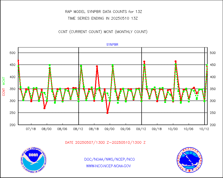
synpbr |
Synoptic - restricted (WMO Res 40)(decoded BUFR) |
346 |
433 |
79.9 % |
1912.50-1913.50 |
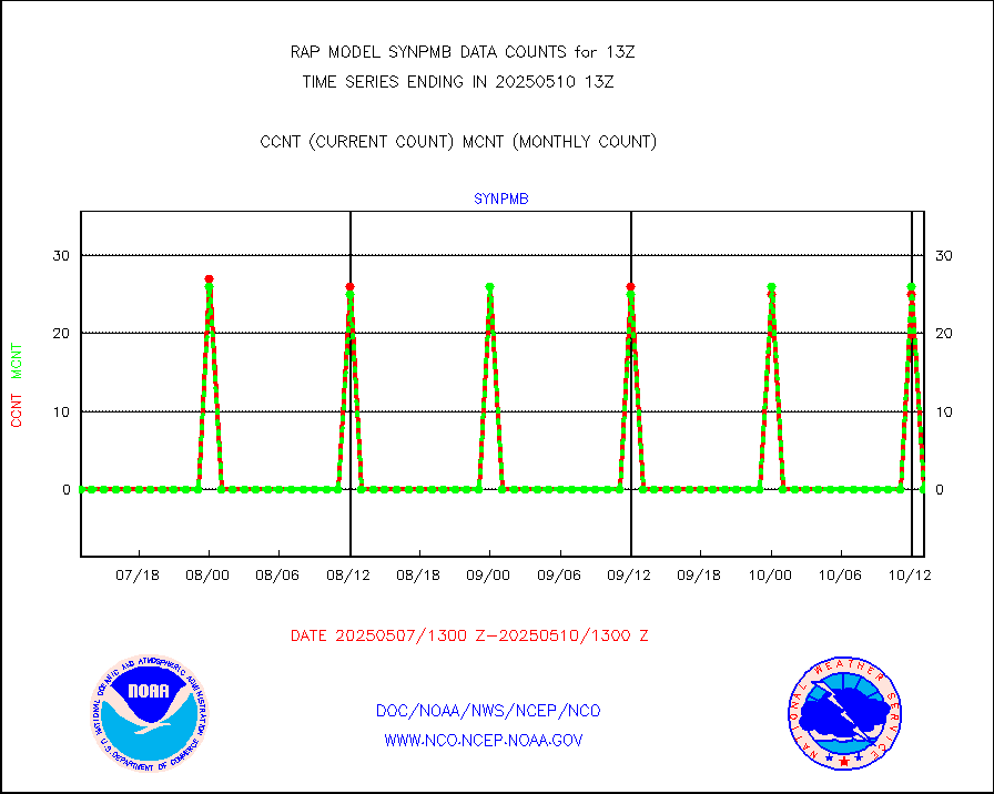
synpmb |
Synoptic - mobile manual & auto (decoded fr BUFR) |
0 |
0 |
n/a |
1912.50-1913.50 |
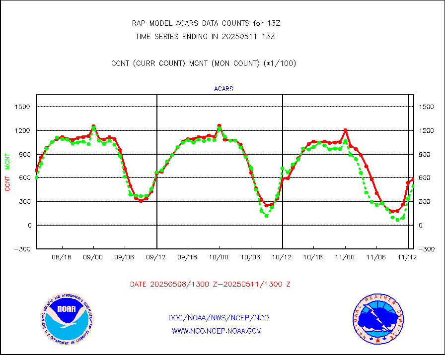
tmdara |
TAMDAR aircft data-all types(from Panasonic,BUFR) |
1237 |
1435 |
86.2 % |
1909.75-1916.25 |
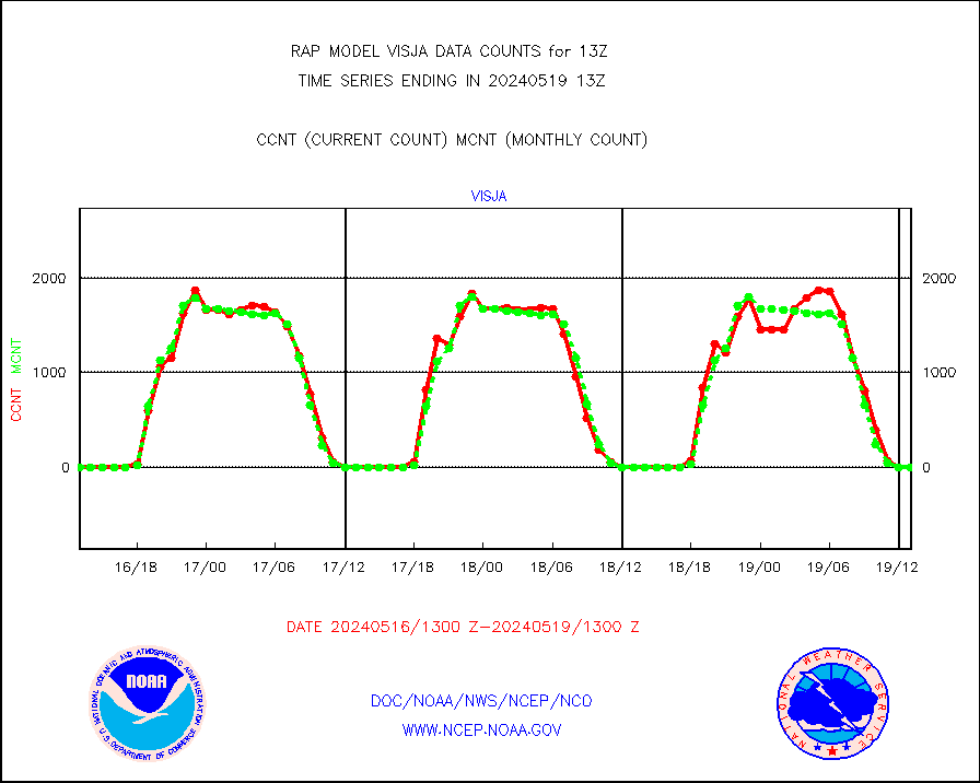
visja |
MTSAT/JMA visible derived cloud motion |
0 |
0 |
n/a |
1910.50-1915.50 |
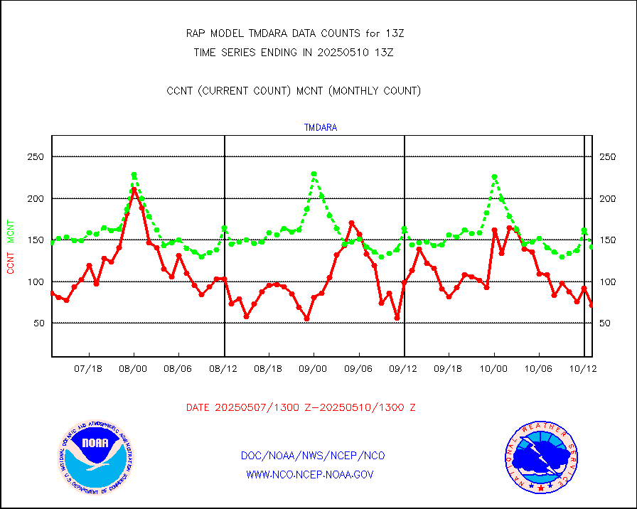
visusr |
GOES-16&up/NESDIS visible derived cloud motion |
27917 |
32139 |
86.9 % |
1912.00-1912.99 |
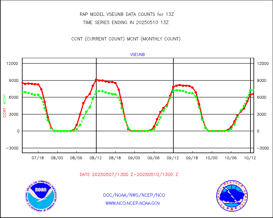
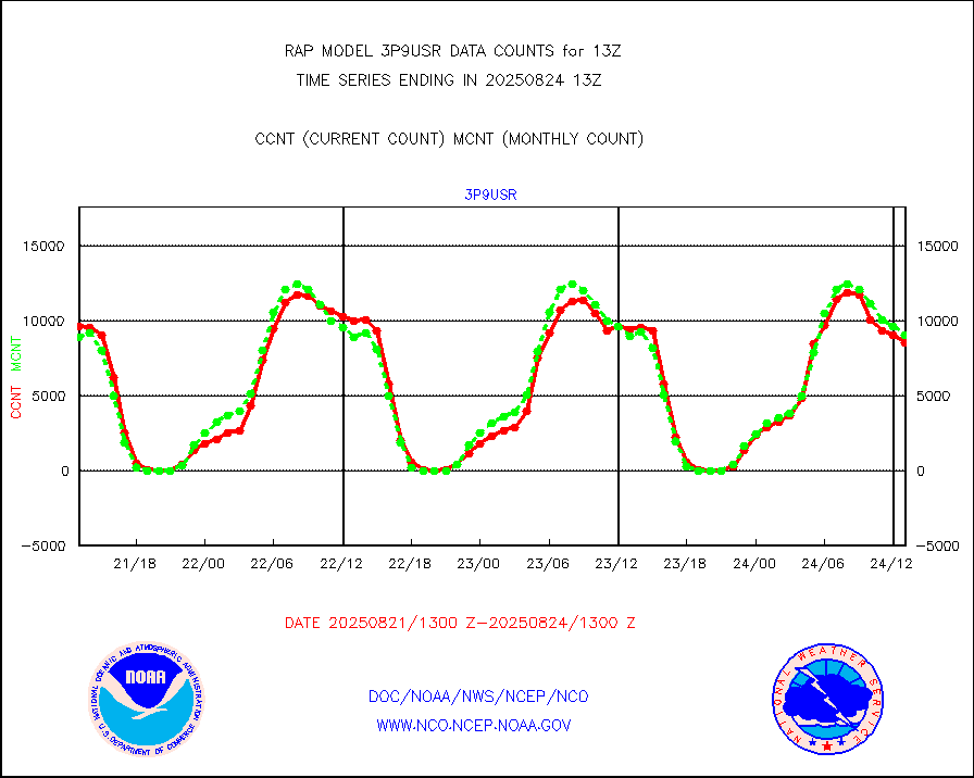
vseunb |
METEOSAT/EUMETSAT visible drv cld motion NBseq |
8006 |
7139 |
112.1 % |
1911.50-1914.49 |


